FS 2107L
Total Miles
1.9
Technical Rating
Best Time
Spring, Summer, Fall
Trail Type
Full-Width Road
Accessible By
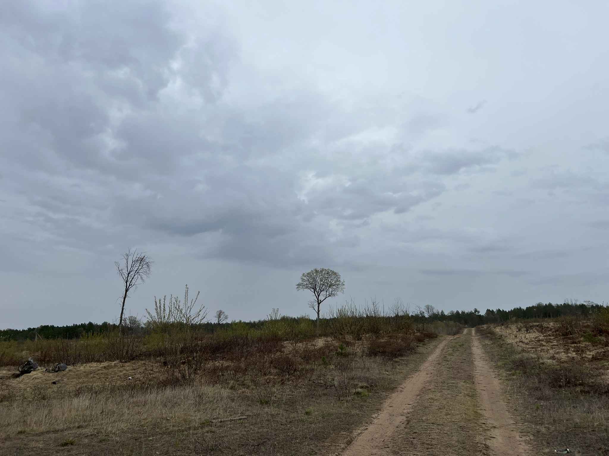
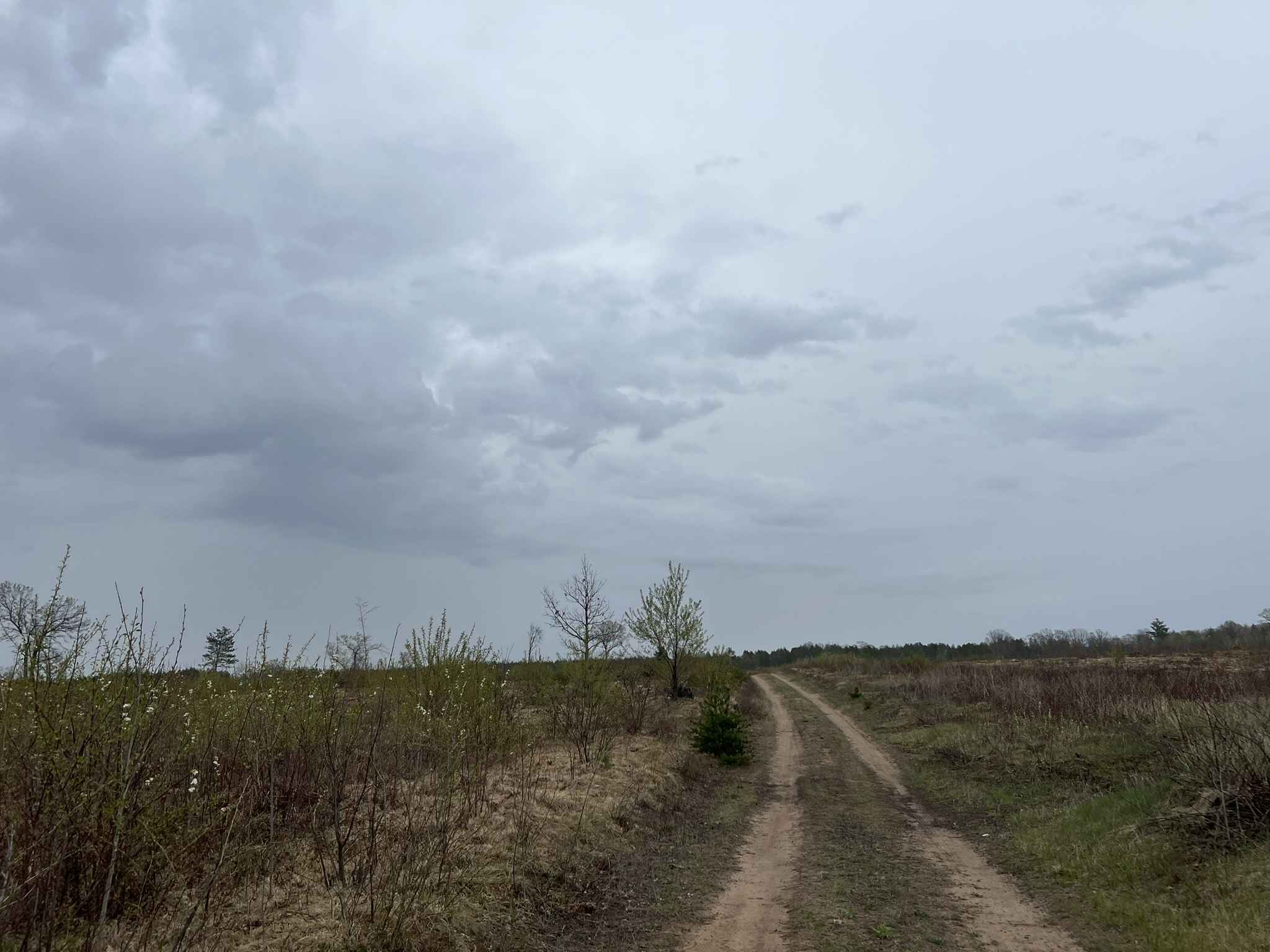
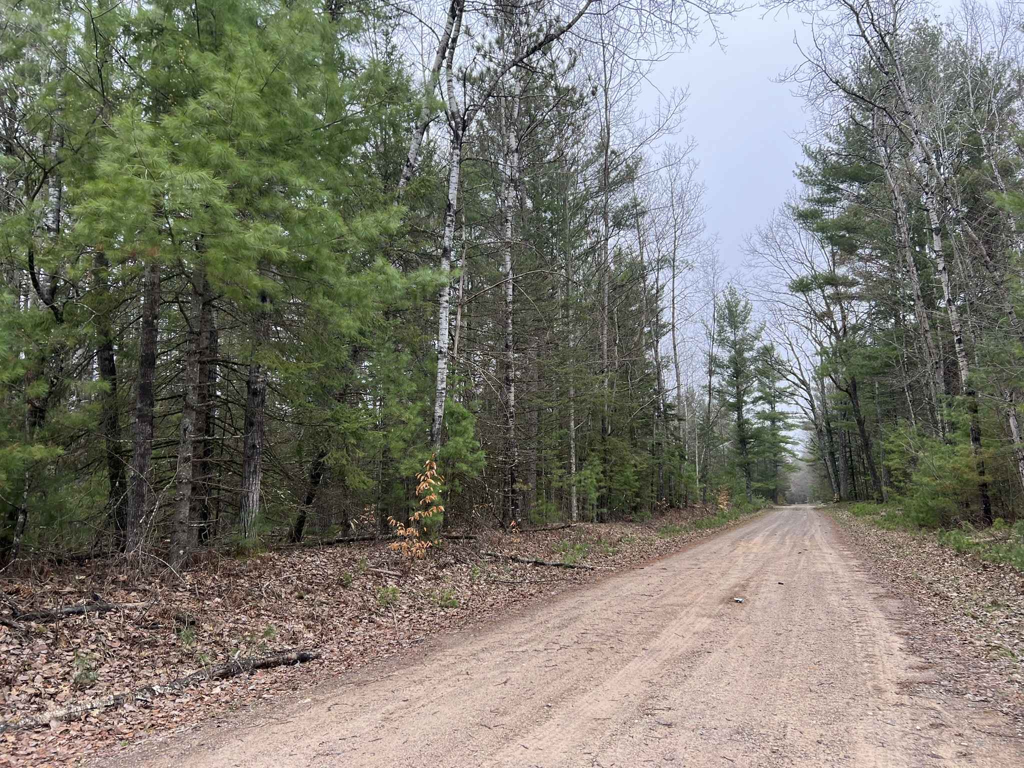
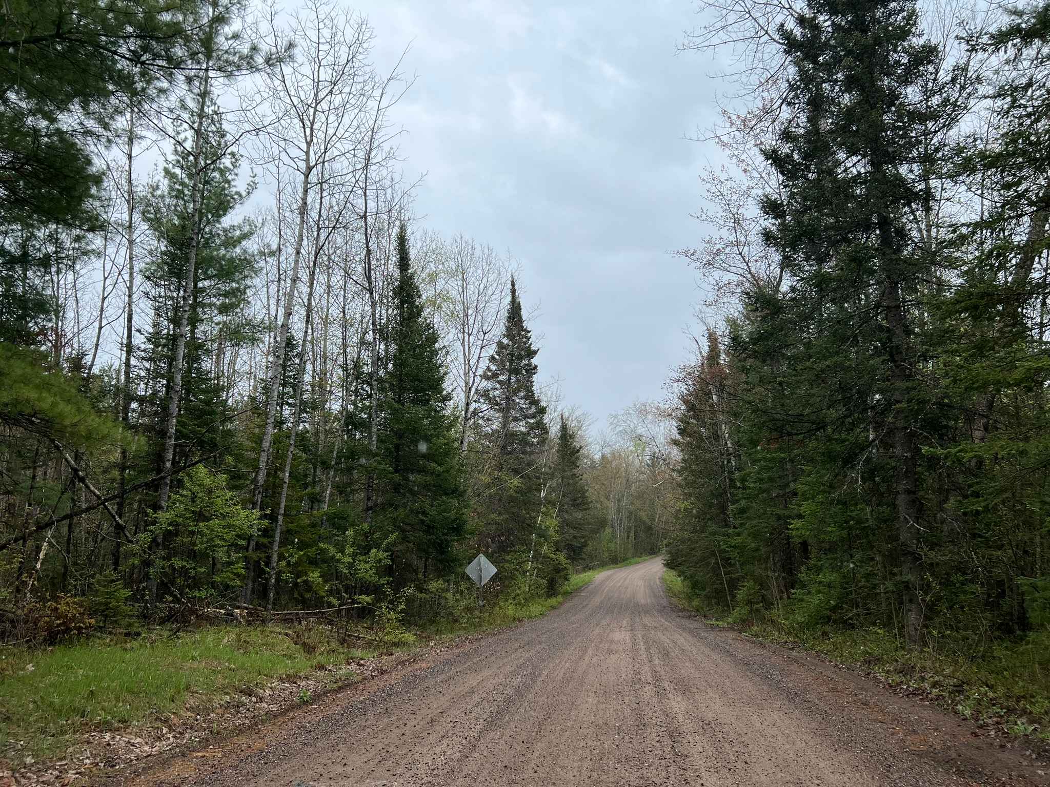
Trail Overview
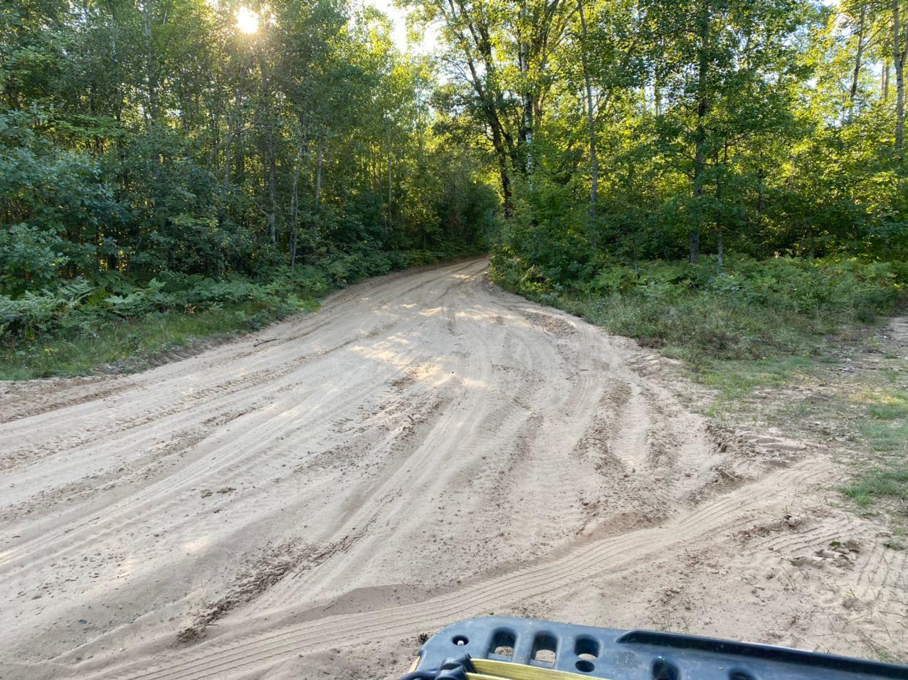
FS 2107L begins at its intersection with Twin Pine Road FS 2107, and navigates to its end point at a closed portion of 55552. Even though this trail does not lead anywhere and requires some backtracking, it is a very diverse trail offering a variety of terrains. The trail begins in wide-open, fast-rolling hills before navigating into a moderately tight two-track within old-growth forests. The terrain continues to roll and wind across the landscape. There are several small mud holes before the trail encounters two larger mud holes on its eastern end. These have a dirt/sandy bottom and can be easily traversed by a vehicle with 4x4; the depth typically remains under 1 foot. There is a moderate hill climb leaving the last mud hole before the trail hits its end point. Cell service in this area is acceptable for the most part; however, downloaded maps are never a bad idea since the towers in this area can become crowded from summer tourists, leading to slow service. Most forest roads in this area have some amount of snowmobile trail traffic on them in the winter months. It is best to avoid them when there is snow on the ground.
Photos of FS 2107L
Difficulty
This trail can be completed by all experience levels of riders. 4x4 or a winch is recommended for the water crossing. While the water crossing base is sand, after repeated crossings, the base can become soft and very sticky. The trail is a narrow two-track with areas spread throughout that allow for vehicles to pass. Small trees and plants overhang the trail, so small scratches can be expected in the summer months as plants green up. This trail is unmaintained for the most part, so seeing a tree down or debris on the trail could be expected after severe weather.
Status Reports
FS 2107L can be accessed by the following ride types:
- High-Clearance 4x4
- SUV
FS 2107L Map
Popular Trails
McCauley Creek Road - FS 2321

Florence County F15 North
La Salle Trail
The onX Offroad Difference
onX Offroad combines trail photos, descriptions, difficulty ratings, width restrictions, seasonality, and more in a user-friendly interface. Available on all devices, with offline access and full compatibility with CarPlay and Android Auto. Discover what you’re missing today!