Nw2014
Total Miles
1.7
Technical Rating
Best Time
Winter, Fall, Spring
Trail Type
Full-Width Road
Accessible By
Trail Overview
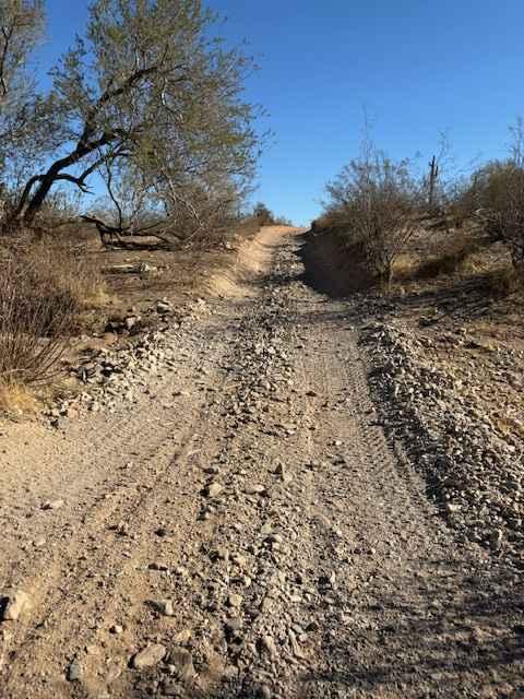
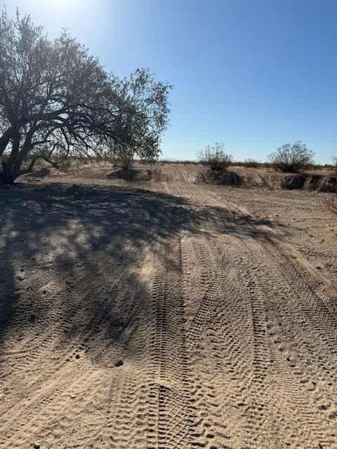
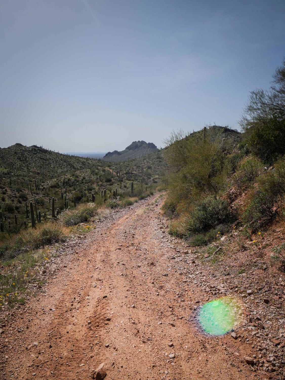
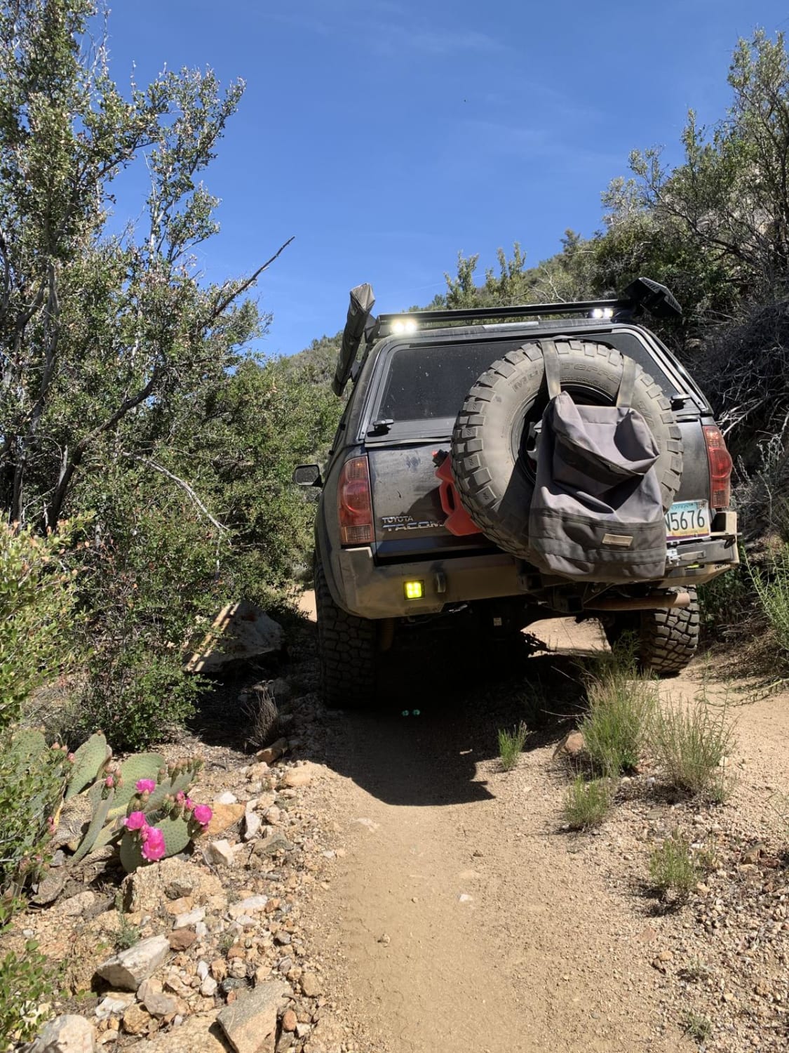
Nw2014 is located to the East of Arizona State Route 79 and South of the Box Canyon trail. It connects Box Canyon to the main North/South Nw2006 trail. The trail consists of dirt, small loose rocks, and minor ruts. Full-size vehicles are susceptible to pinstriping. One bar of Verizon LTE service was available.
Photos of Nw2014
Difficulty
This is a dirt or rocky road, that is typically unmaintained after rain or snow. You may encounter shallow water crossings and obstacles under 12 inches on the trail, including small ledges. The roads are typically one to two vehicles wide.
Status Reports
Nw2014 can be accessed by the following ride types:
- High-Clearance 4x4
- SUV
- SxS (60")
- ATV (50")
- Dirt Bike
Nw2014 Map
Popular Trails

Pasture Waterline
Burro Mountain Loop
Brutal run to wickiup
The onX Offroad Difference
onX Offroad combines trail photos, descriptions, difficulty ratings, width restrictions, seasonality, and more in a user-friendly interface. Available on all devices, with offline access and full compatibility with CarPlay and Android Auto. Discover what you’re missing today!