Brush Creek Road
Total Miles
4.7
Technical Rating
Best Time
Fall, Summer, Spring
Trail Type
Full-Width Road
Accessible By
Trail Overview
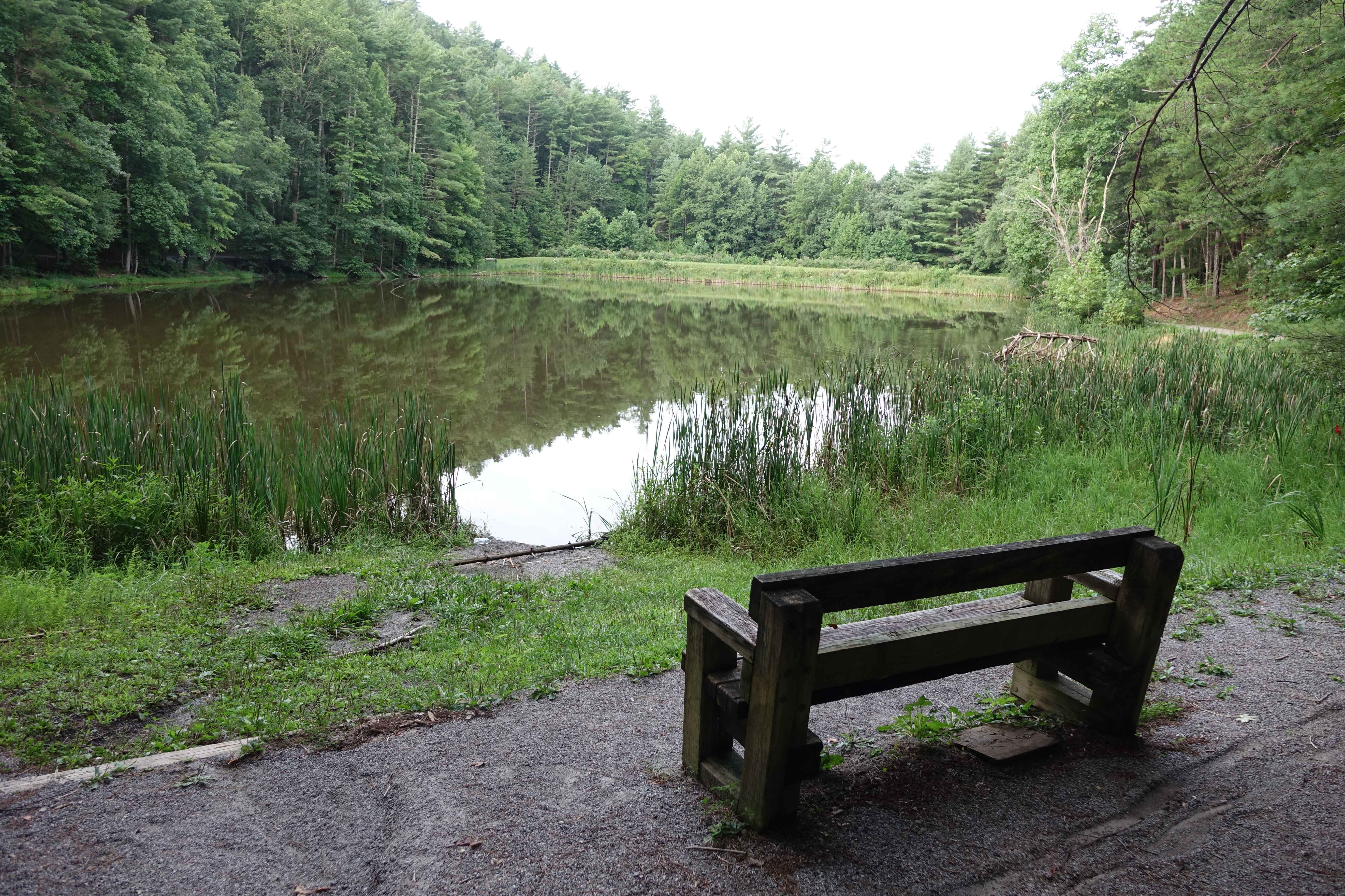
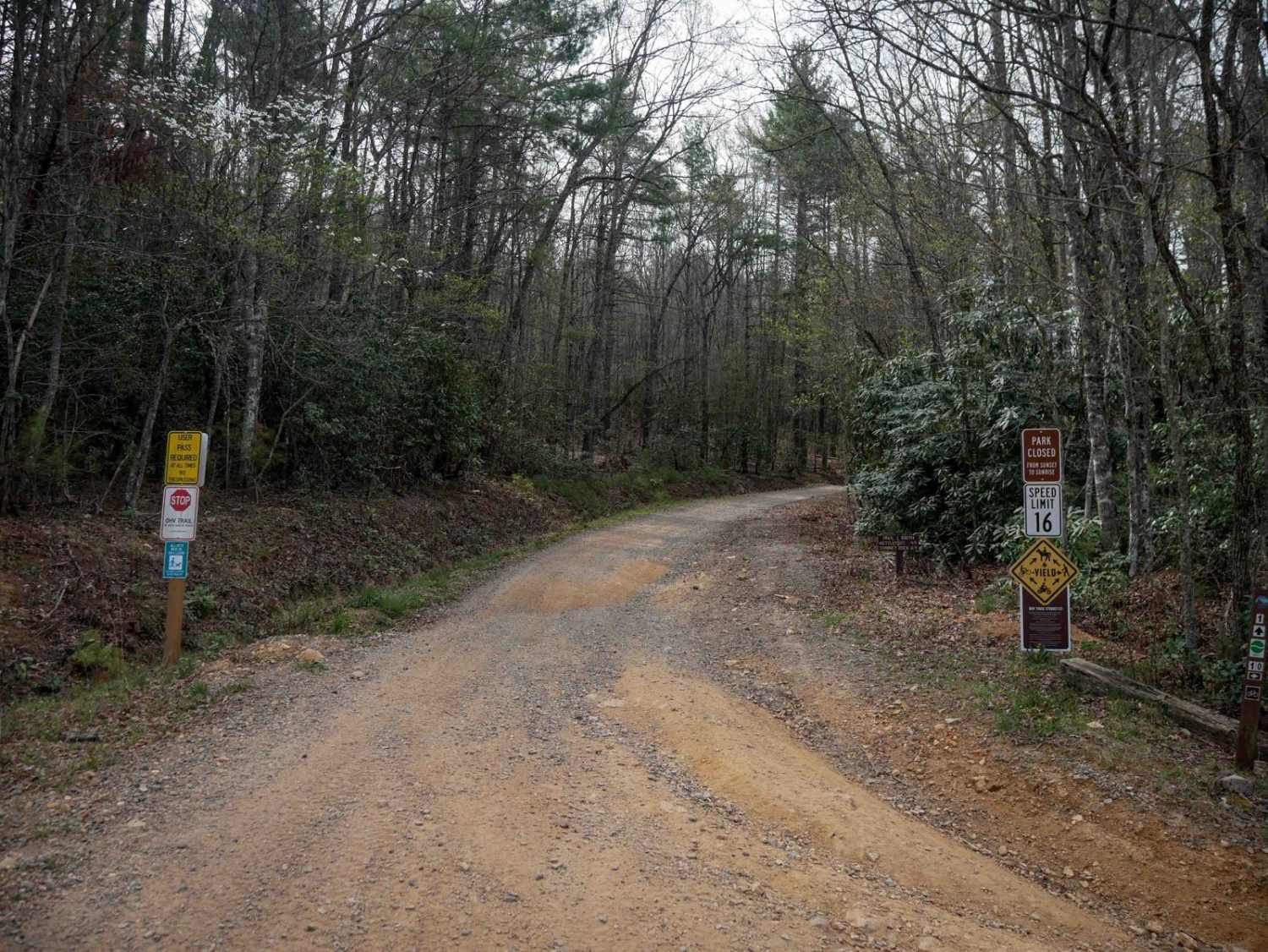
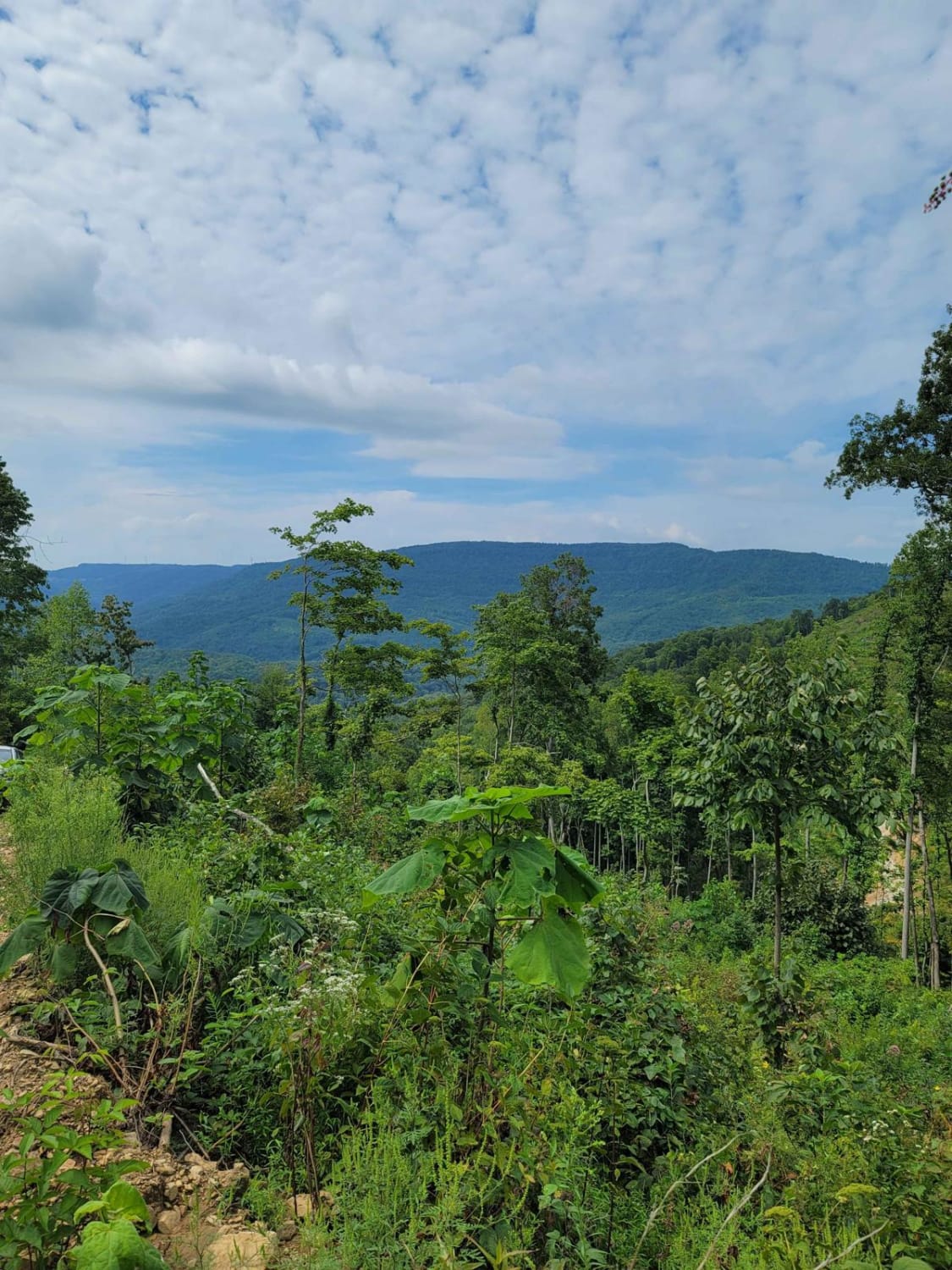
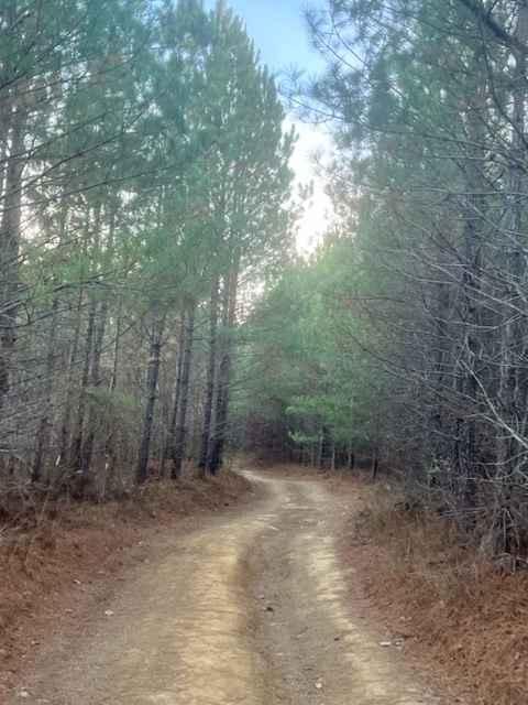
Brush Creek starts out as a narrow paved road, but once it meets the western end of Weaver's Bend it transitions to gravel. This is a beautiful drive and the namesake creek parallels the road for the northern half of the route. As the road turns away from the creek it quickly ascends to the upper reaches of the ridgeline. Three-quarters of the way to the southern end of the road you'll find Allen Branch Pond. A trail traces the circumference of the pond and some benches are available. There are a few campsites along the road as well. The southern end drops down to the French Broad River before rejoining the pavement.
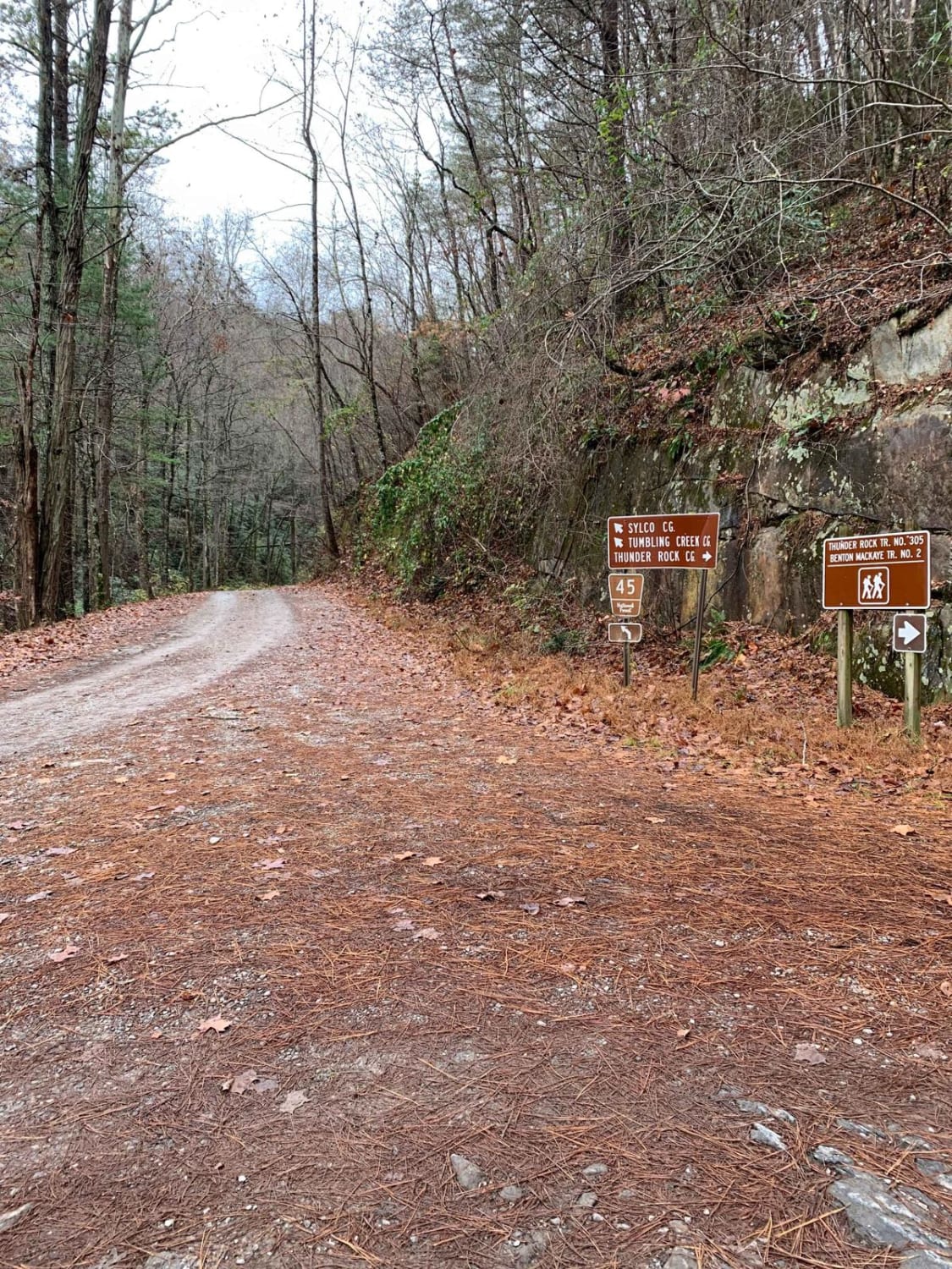
Photos of Brush Creek Road

Difficulty
It seems to be well maintained and passable with a 2WD outside of heavy rains when the gravel might wash out.
Status Reports
Brush Creek Road can be accessed by the following ride types:
- High-Clearance 4x4
- SUV
Brush Creek Road Map
Popular Trails
88 - Bearwallow Branch
Coalmont Trail 11 Green
Little Gassaway - Trail NF45
The onX Offroad Difference
onX Offroad combines trail photos, descriptions, difficulty ratings, width restrictions, seasonality, and more in a user-friendly interface. Available on all devices, with offline access and full compatibility with CarPlay and Android Auto. Discover what you’re missing today!