FS 2630
Total Miles
5.5
Technical Rating
Best Time
Spring, Summer, Fall
Trail Type
Full-Width Road
Accessible By
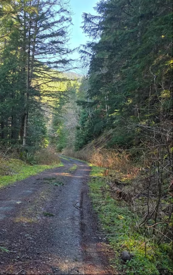
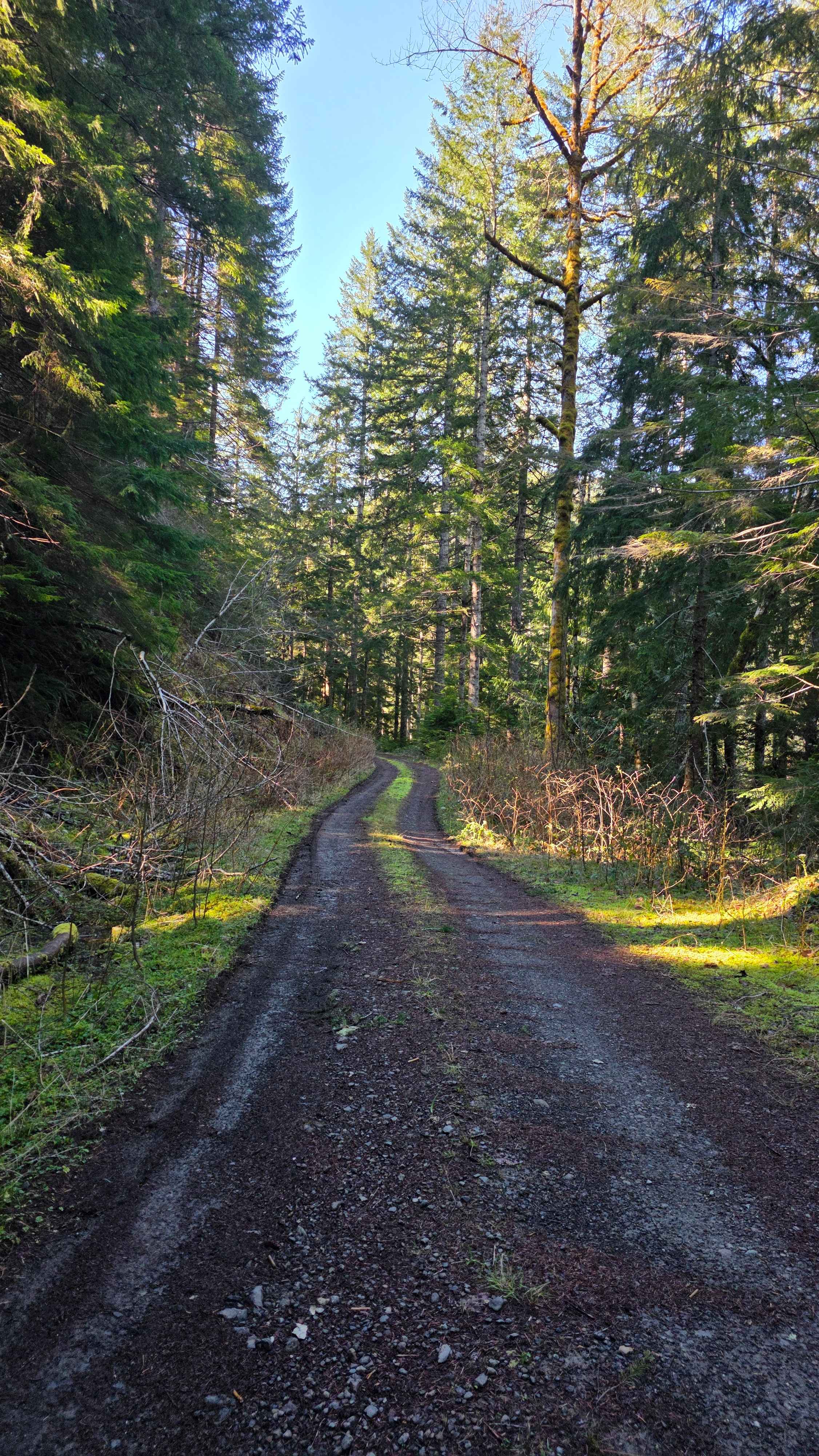
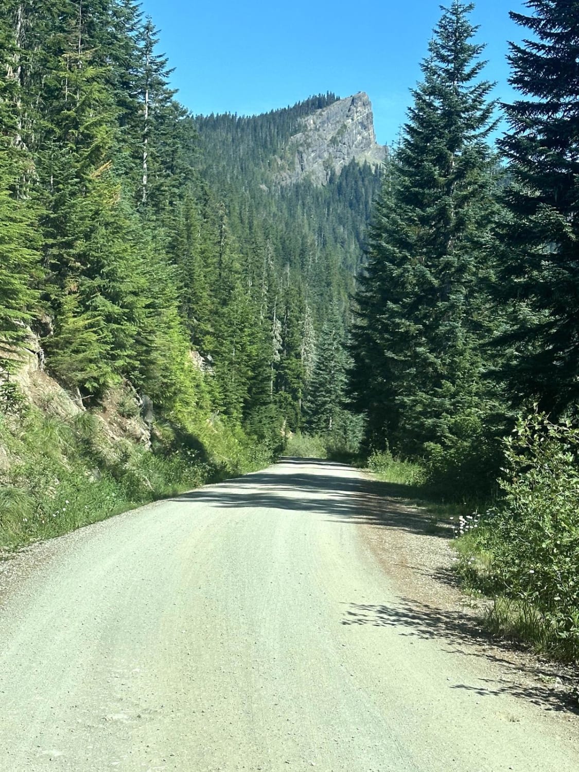
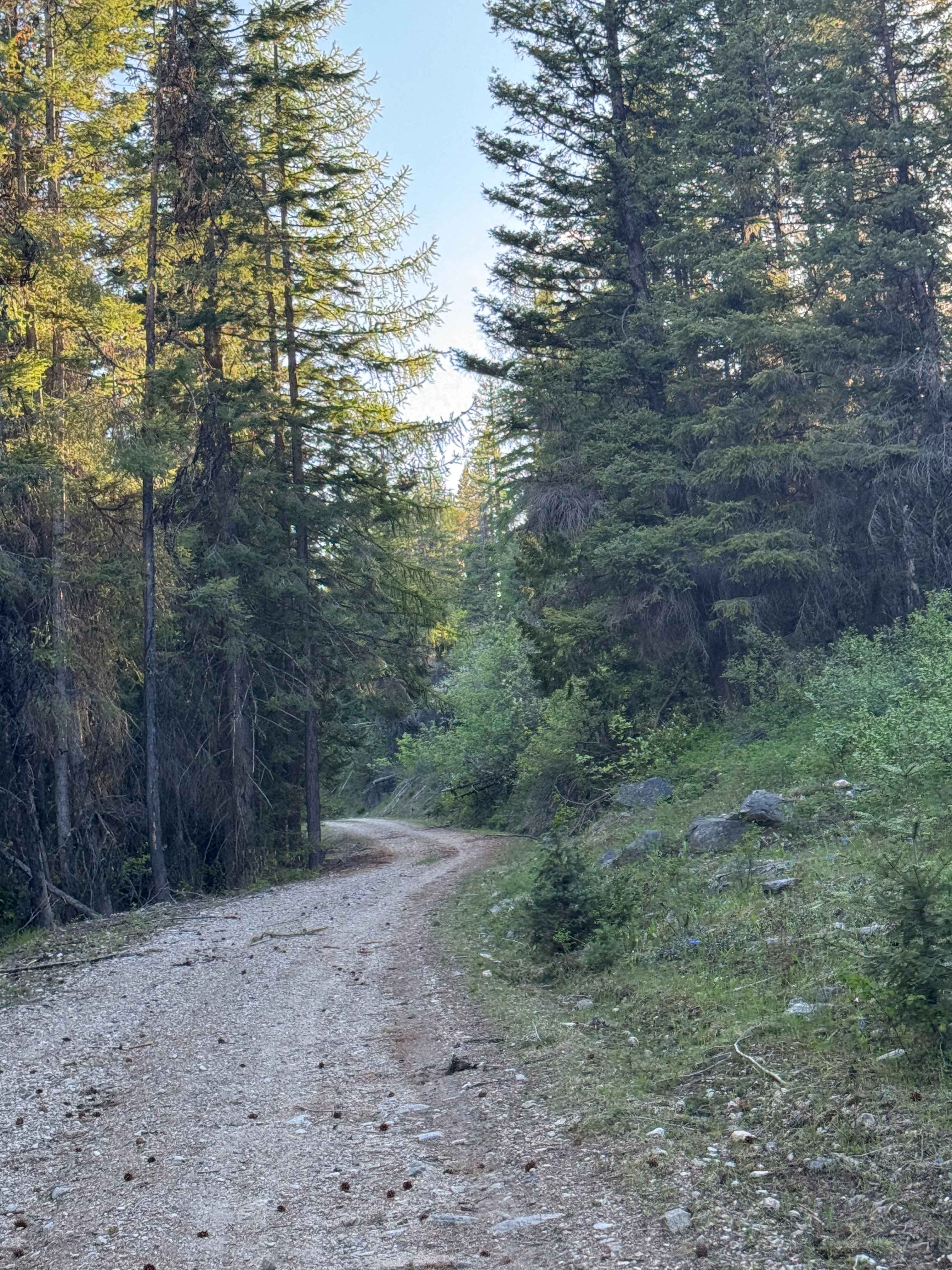
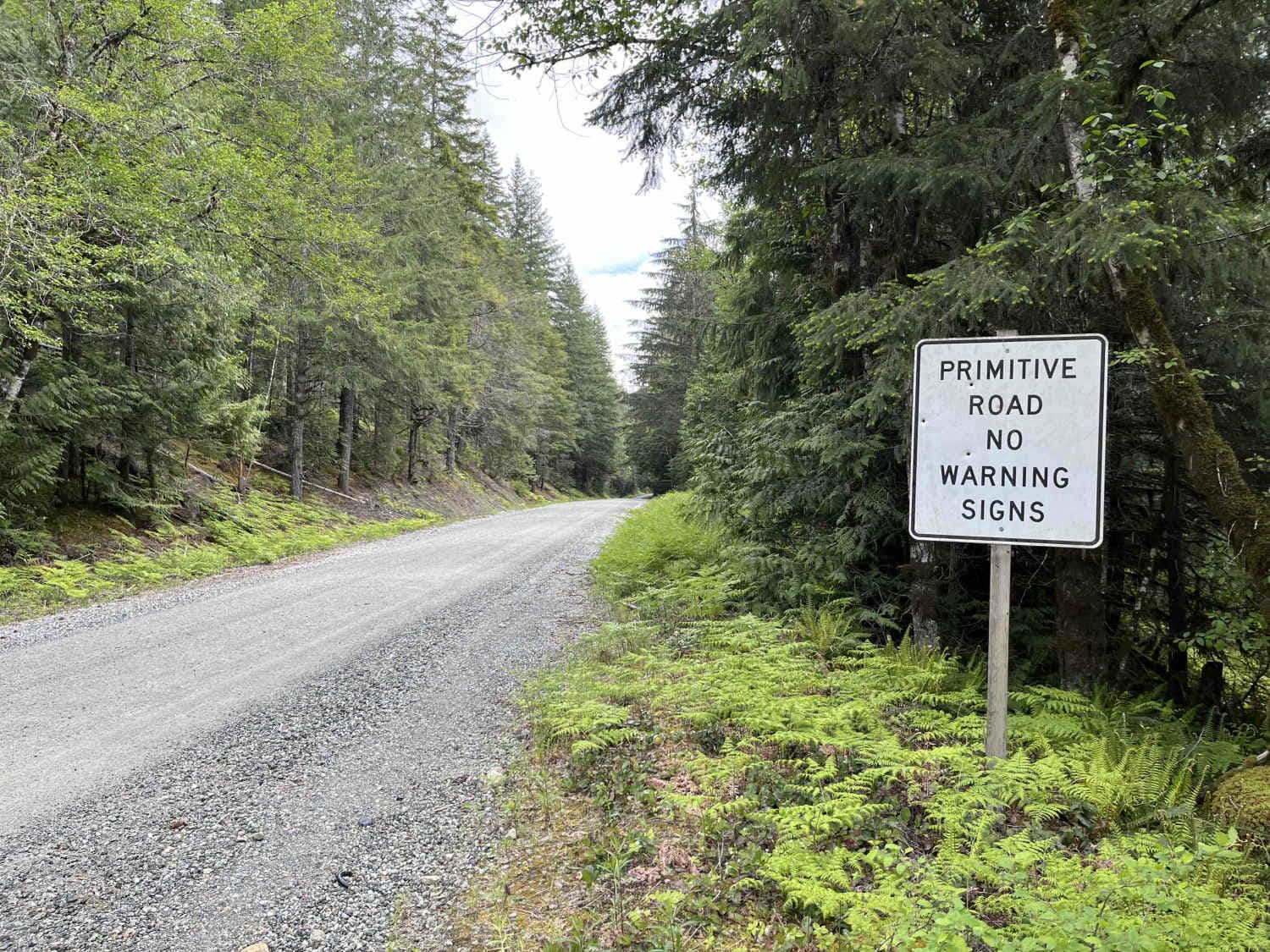
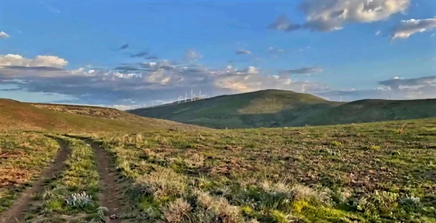
Trail Overview
This single-lane offroad trail branches off Rocky Brook Road and winds through dense forest with some hairpin turns and dramatic shelf road sections. Expect a mix of forested canopy driving and exposed shelf sections where the road clings to the hillside. Some areas show signs of recent rock movement--stay alert for loose rocks and minor slide zones. Pin striping from brush and trees is common along tighter sections. The trail culminates in a spectacular panoramic viewpoint overlooking Mount Rainier and the shimmering waters of Hood Canal. Key Hazards & Notes: Single-lane road with limited pullouts--yield to oncoming traffic and be prepared to back up. Watch for developing sinkholes and undercut sections, especially after heavy rain. Rockslide areas may have loose gravel or larger boulders on the road. Dense forest means tight squeeze in places--expect pin striping. This trail rewards drivers with one of the most rewarding views in the region--Mount Rainier rising dramatically above Hood Canal.
Photos of FS 2630
Difficulty
Multiple spots with falling rocks on areas of the shelf road, a few pull-out spots, sinkhole spots, and the last 300 feet of trail at a 12-degree incline
FS 2630 can be accessed by the following ride types:
- High-Clearance 4x4
- SUV
- SxS (60")
- ATV (50")
- Dirt Bike
FS 2630 Map
Popular Trails
Towhead Gap Trail
White Mountain Trail
Cascade River Road
The onX Offroad Difference
onX Offroad combines trail photos, descriptions, difficulty ratings, width restrictions, seasonality, and more in a user-friendly interface. Available on all devices, with offline access and full compatibility with CarPlay and Android Auto. Discover what you’re missing today!