White Mountain Trail
Total Miles
10.4
Technical Rating
Best Time
Spring, Summer, Fall
Trail Type
Full-Width Road
Accessible By
Trail Overview
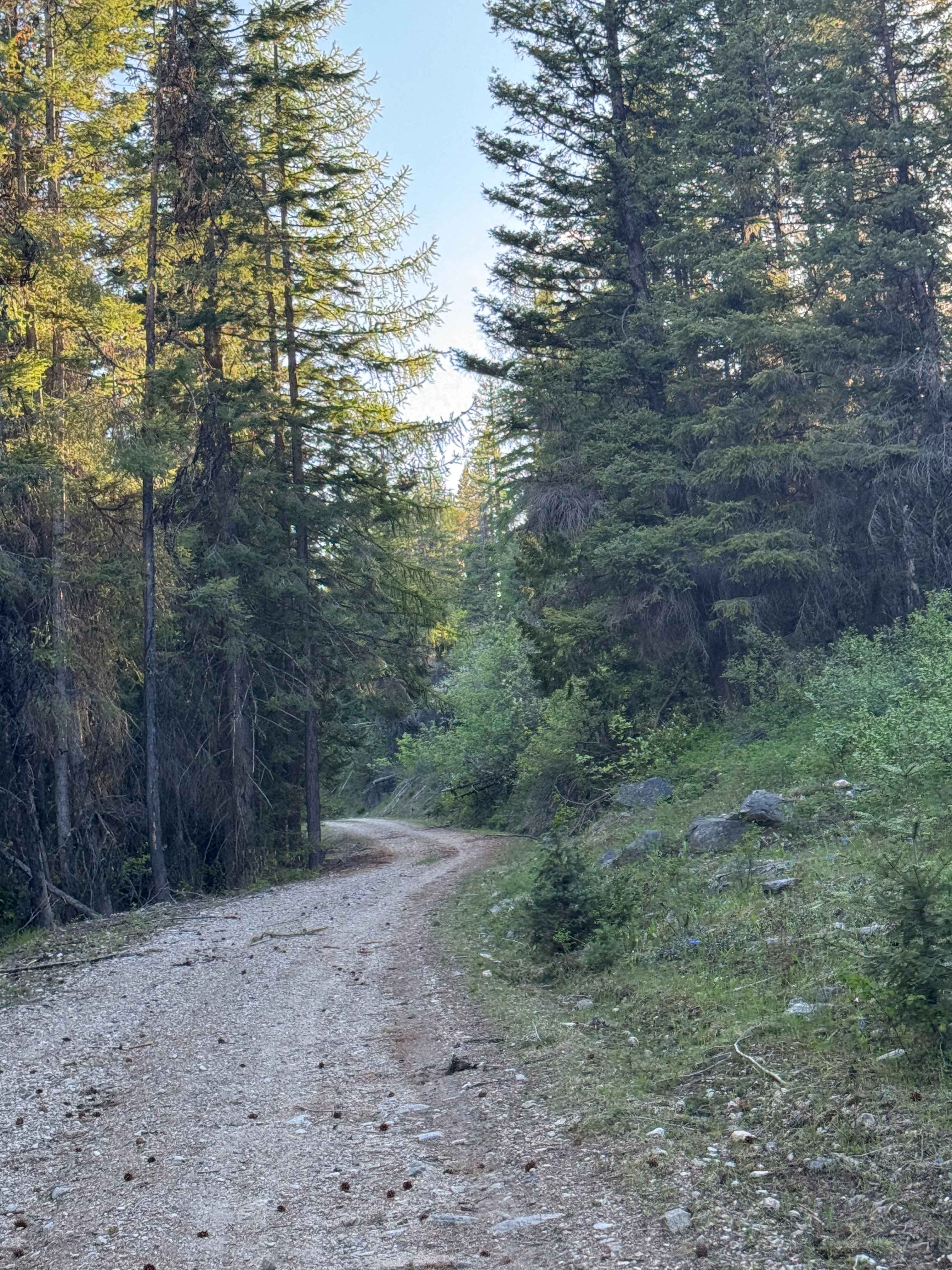
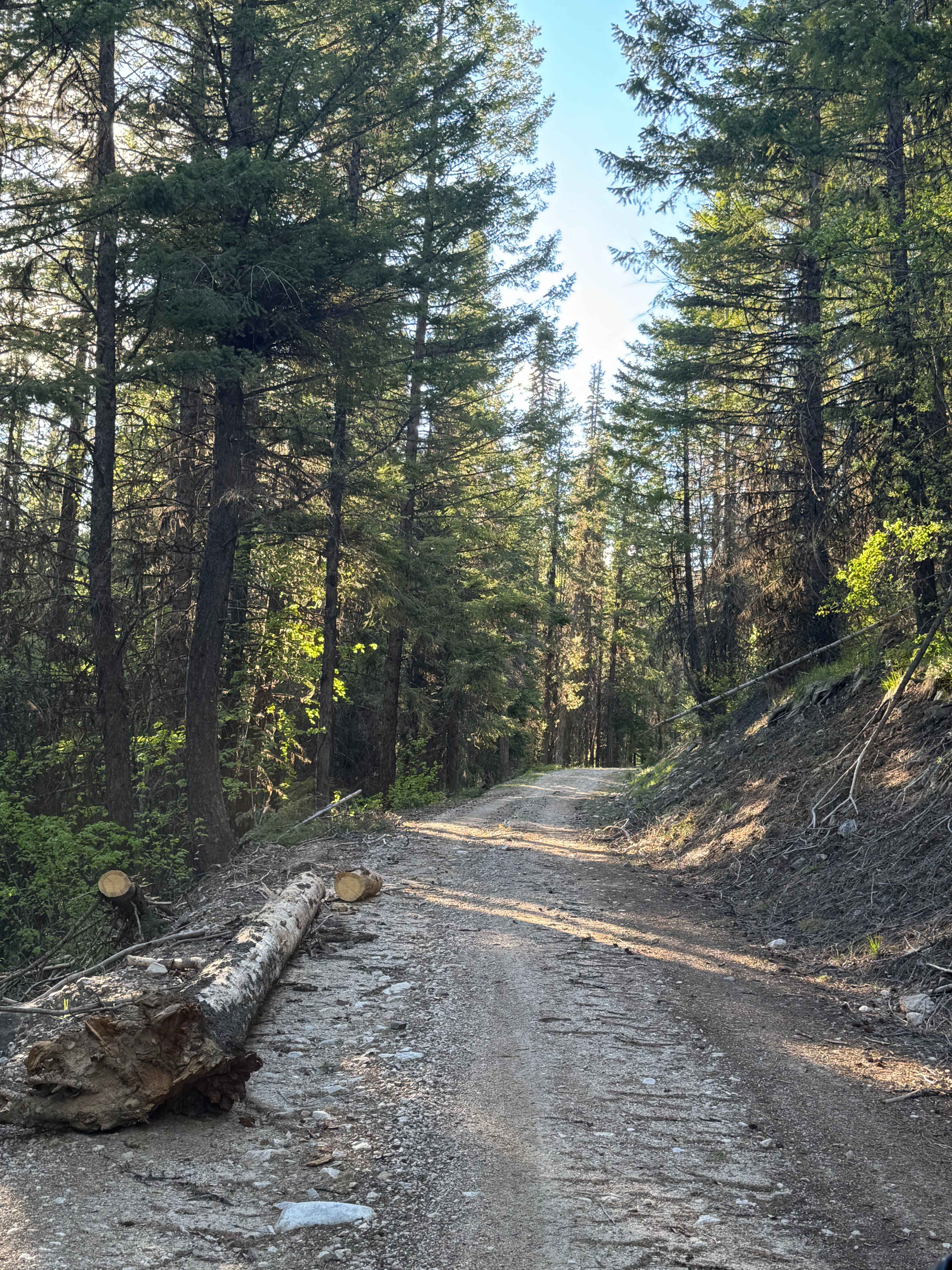
This forest road is dirt-based with some rock and gravel in sections. If you travel the entire trail, it is more than 10 miles long and leads you to the edge/border of the Colville National Forest and the Colville Reservation. Do not enter the reservation land without permission. This trail is narrow in most places with areas to pass, and has switchbacks with ledges and drop-offs. Some sections are rocky, there are a couple of mud holes, ruts and wash under a foot, and tight trees and overgrown vegetation. The trail goes past the parking lot for the White Mountain hiking trail head, and there are some split-off roads in this area. A portion of this trail is through old burned area, and you can expect to have to clear downed trees. When you make it to the end, there is a dispersed campsite with a pre-existing fire ring, and camping is allowed along this entire trail. At the end of the trail, you will have one of the best views in the area, overlooking the reservation land for miles with panoramic views of the surrounding ridges and peaks, as well as White Mountain itself. Cell phone service is weak, so an offline map and a satellite communication device are recommended. There are no amenities along the trail, and you are over an hour from the nearest services and supplies, so travel prepared. Any vehicle could travel this trail.
Photos of White Mountain Trail
Difficulty
This is a narrow, one-lane trail that winds through the National Forest to the Colville Reservation. You will gain approximately 1800 feet in elevation, and there are steep ledges and drop-offs. The trail has smooth sections, but is rocky and rutted in others. High clearance 4x4 is recommended.
Status Reports
White Mountain Trail can be accessed by the following ride types:
- High-Clearance 4x4
- SUV
- SxS (60")
- ATV (50")
- Dirt Bike
White Mountain Trail Map
Popular Trails


Wildcat/Nisqually Loop Trail
Southern Toats Coulee Road
Larch Mountain Trail West
The onX Offroad Difference
onX Offroad combines trail photos, descriptions, difficulty ratings, width restrictions, seasonality, and more in a user-friendly interface. Available on all devices, with offline access and full compatibility with CarPlay and Android Auto. Discover what you’re missing today!