Roza Creek Road
Total Miles
2.6
Technical Rating
Best Time
Spring, Summer, Fall, Winter
Trail Type
Full-Width Road
Accessible By
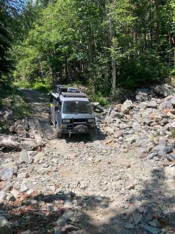
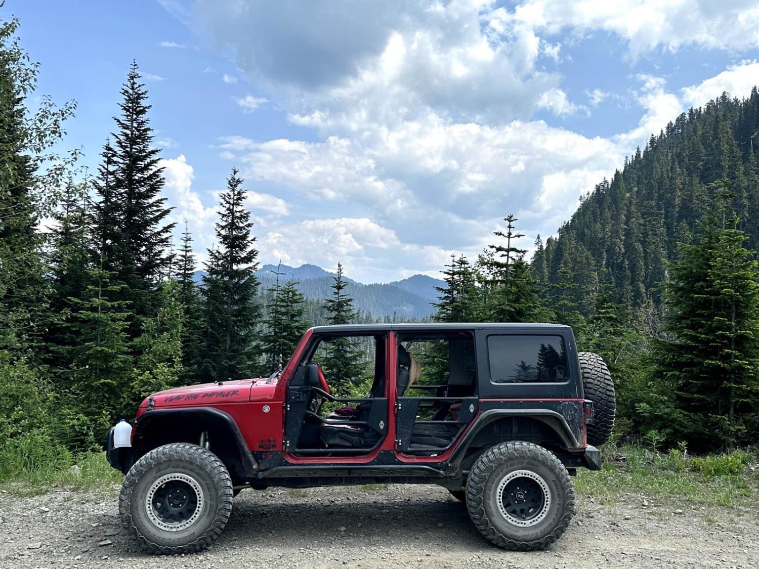
Trail Overview
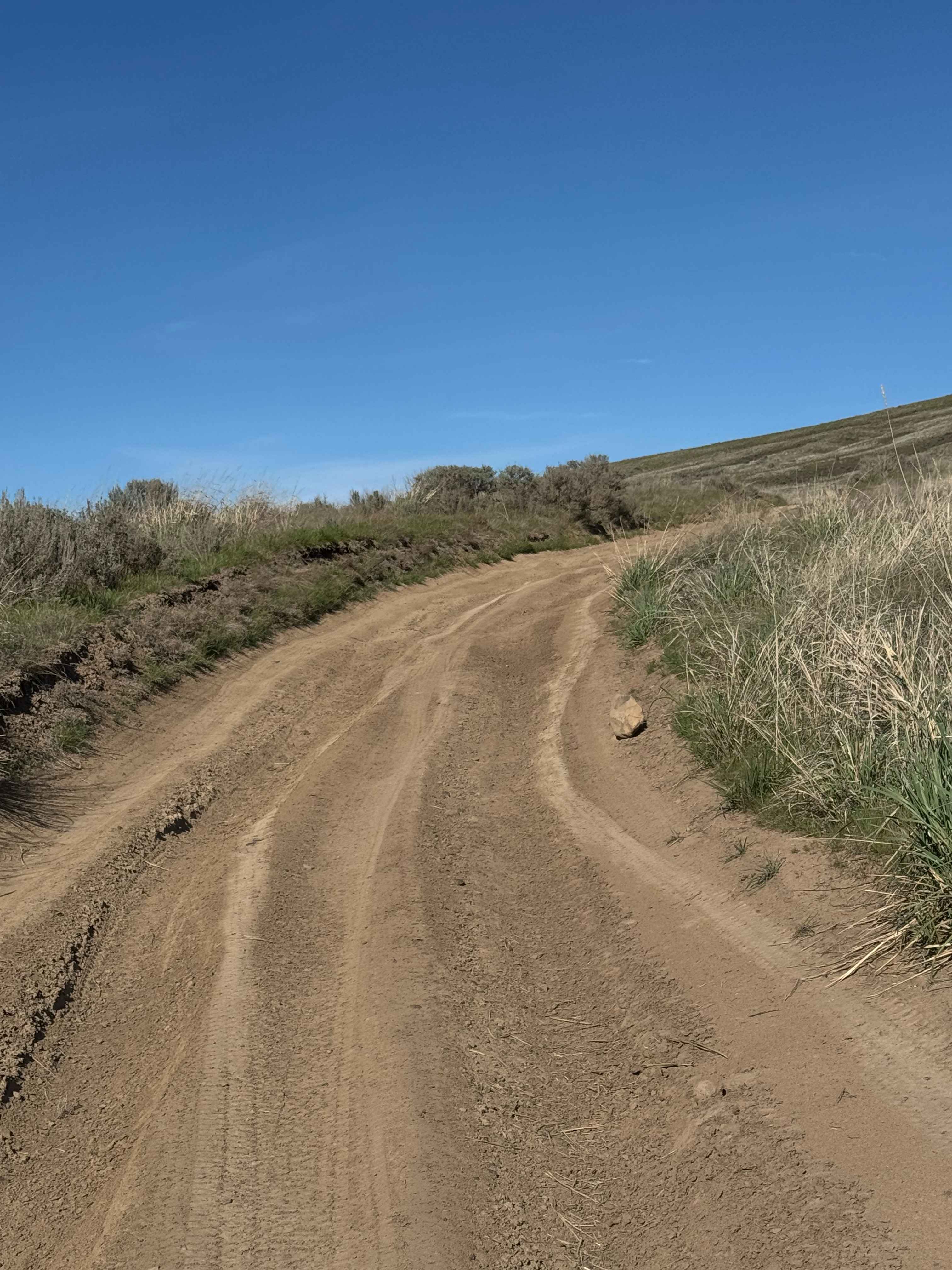
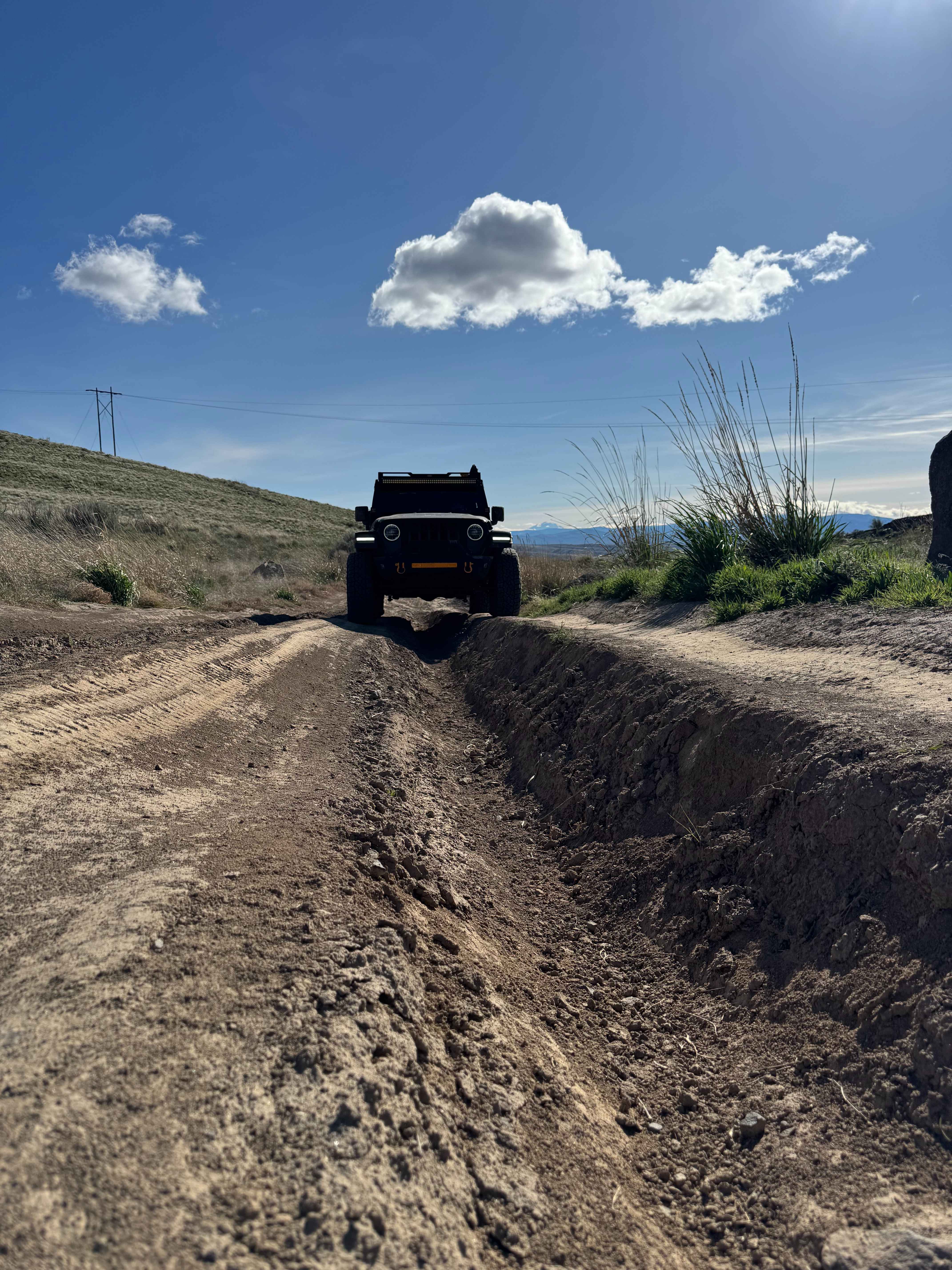
This trail is on Washington Department of Fish and Wildlife-owned land, and a Discover Pass is required to travel in the area. This is a dirt trail that is extremely dusty when dry and a muddy slog when wet. There are ruts approximately 12-18 inches deep that you must straddle, and there are areas with large dips in the trail about the same height. Enjoy views of Mt Adams and the rolling hills and peaks around you as you travel through the sagebrush plains. The trail used to go farther, but as you approach the end, you come to a yellow gate with signage stating that the trail is permanently closed from that point on. In this state-owned land, there is camping, target shooting, and trail riding available, but no campfires from April 15 through November 15, and you can only travel the trails marked with a Green Dot. There is adequate signage in the area and maps of the trail system. Cell phone coverage was decent, but there were no amenities available, so bring everything you need, as far as food, water, spare tires, and other gear. High clearance 4x4 recommended.
Photos of Roza Creek Road
Difficulty
Deep ruts 12-18 inches, you must pick a line and maneuver.
Status Reports
Roza Creek Road can be accessed by the following ride types:
- High-Clearance 4x4
- SUV
- SxS (60")
- ATV (50")
- Dirt Bike
Roza Creek Road Map
Popular Trails
Tumbleweed Ravine
West Side East Fork Humptulips Valley Trail
Canyon Ridge Road
The onX Offroad Difference
onX Offroad combines trail photos, descriptions, difficulty ratings, width restrictions, seasonality, and more in a user-friendly interface. Available on all devices, with offline access and full compatibility with CarPlay and Android Auto. Discover what you’re missing today!