Georgia Traverse
Total Miles
390.7
Technical Rating
Best Time
Spring, Summer, Fall
Trail Type
Full-Width Road
Accessible By
Trail Overview
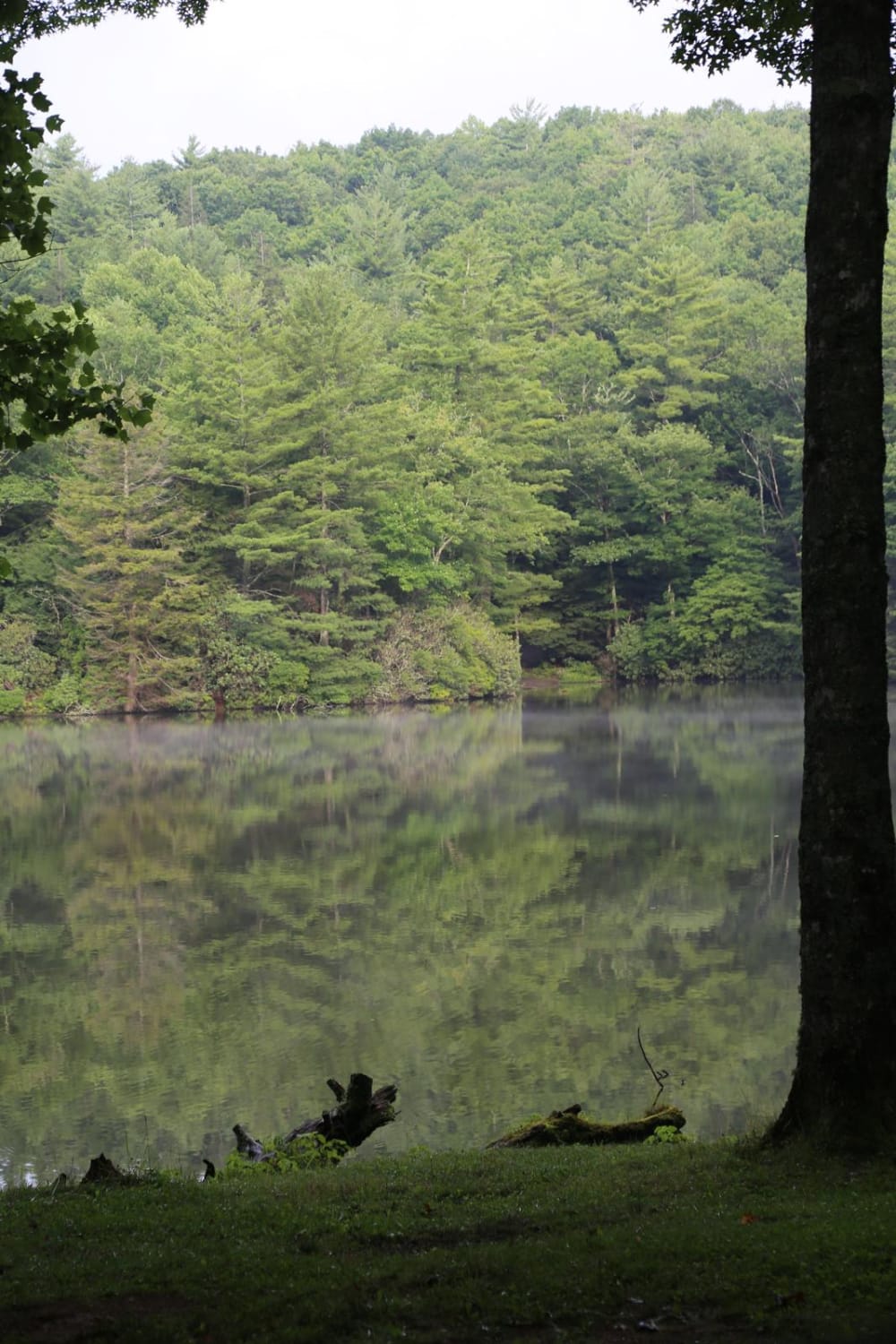
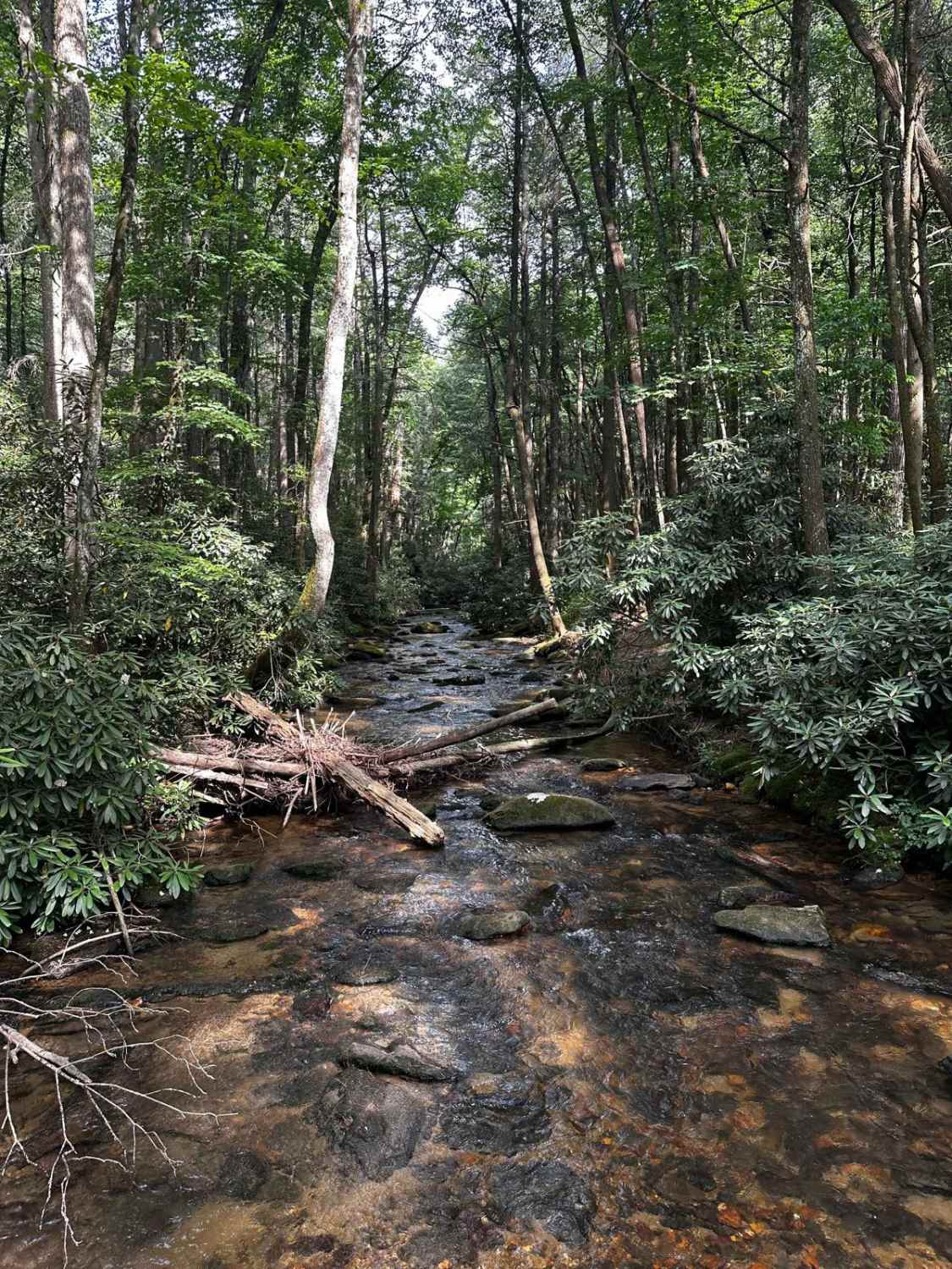
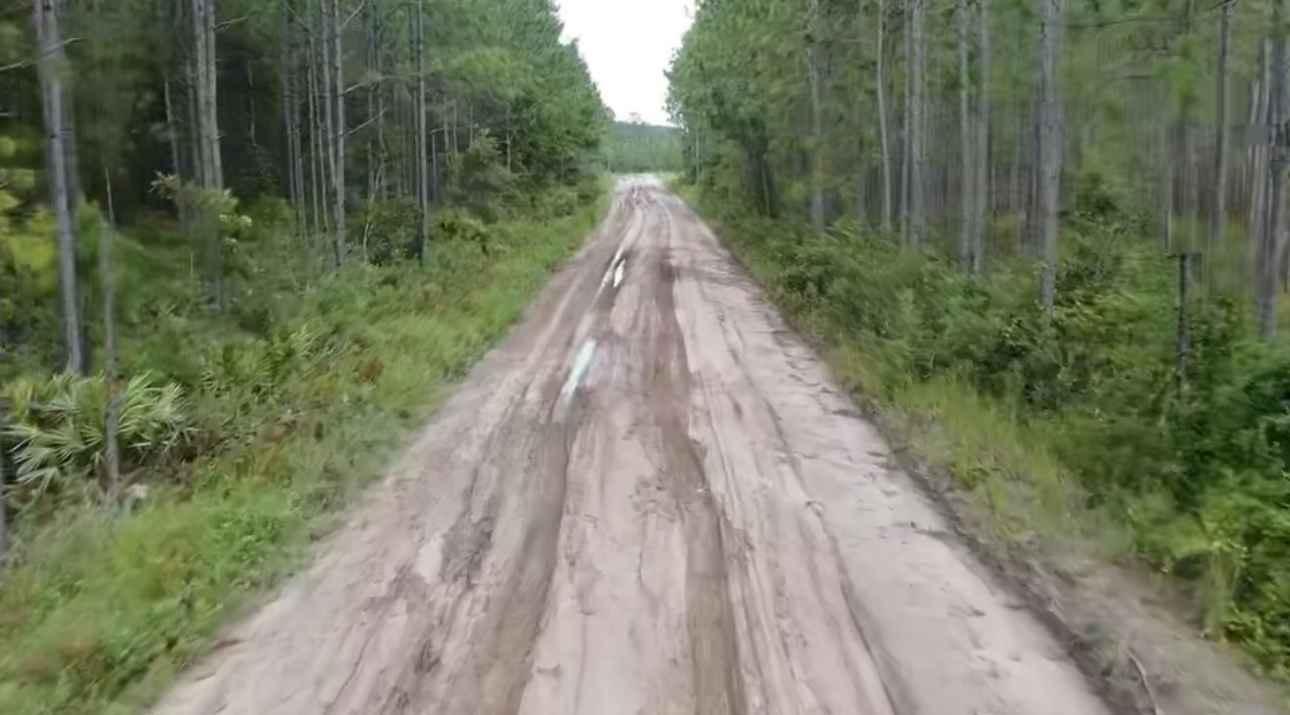
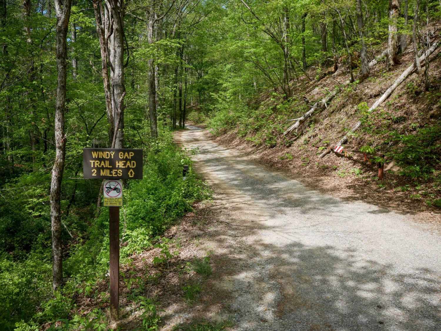
Anyone who's heard the old country song can probably picture the beautiful state of Georgia. It's a land of green hillsides, charming southern towns dotted with white picket fences, and sunny fields tied together by red dirt roads. It's tough to find a more ideal inspiration for a country song. Yet, contrary to what the old song may have you believe, the dirt country roads of Georigia are in diminishing supply. These days construction teams literally pave the way for new growth. But you can still explore the wonders of the Peach State with the crunch of gravel beneath your tires along the Georgia Traverse. This 390-mile tour of the state's northern highlands was developed by David Giguere, and took several years to piece together. The Georgia Traverse winds its way through the rolling hills and misty peaks of the Appalachian mountains, dips through the dense forests of the Chattahoochee, and hops from one small, charming town to another. The trail is designed to be traveled east to west, beginning at Burrells Ford Road along the Georgia/South Carolina border, visiting North Carolina and Tennessee before ending at the Georgia/Alabama border. It is generally an easy drive, composed of county, state and Forest Service roads. Travellers should be aware that weather can rapidly deteriorate road conditions, and some of the river crossings can be dangerous. There are also numerous side routes that pose a greater challenge. Note: at the time of this writing, Tray Mountain Rd was closed for reconstruction. Be sure to check current conditions before leaving. Many dispersed camping sites are available throughout the trip, but you can also find developed campgrounds or even a quaint B&B. While the trail itself may be your destination, we recommend stopping by a few towns along the way. A popular stop is Helen, a Bavarian-style town with excellent food, festivals, fly-fishing, and many other attractions. As always, be sure to follow Tread Lightly and Leave No Trace principles when traveling along the Georgia traverse. We are fortunate to have these public lands and roads to explore, and it's our duty to leave them in better condition than we found. Do not drive this route when muddy, pack out what you pack in, and always stay the trail. Special care should be taken to minimize impact on stream crossings. Do not stop in the water, do not enter at high speeds or make large waves. While they are legal roads, these sections are also delicate and should be treated as such. We'd like to express our gratitude to the people who made this trail possible. A huge thank you goes to David Giguere for not only creating this amazing route over the last ten years, but also sharing it with the public so others can experience it as well. The team at the Chattahoochee-Oconee National Forest also deserve a round of applause. Their maps, reference data and support of David's research were invaluable in bringing this experience to life. Finally, we'd like to thank Nolen Grogan for his excellent documentation of the journey, and the photos which he provided. We hope you enjoy this route and the memories you make along the way!
Photos of Georgia Traverse

Difficulty
The majority of this trail is comprised of forest and county roads making it quite easy, however a few river crossings and optional side roads can pose greater challenges in poor weather.
Status Reports
Georgia Traverse can be accessed by the following ride types:
- High-Clearance 4x4
- SUV
Georgia Traverse Map
Popular Trails
Satilla WMA Tour
Muskrat Creek

Mulky Gap - FS 4
The onX Offroad Difference
onX Offroad combines trail photos, descriptions, difficulty ratings, width restrictions, seasonality, and more in a user-friendly interface. Available on all devices, with offline access and full compatibility with CarPlay and Android Auto. Discover what you’re missing today!