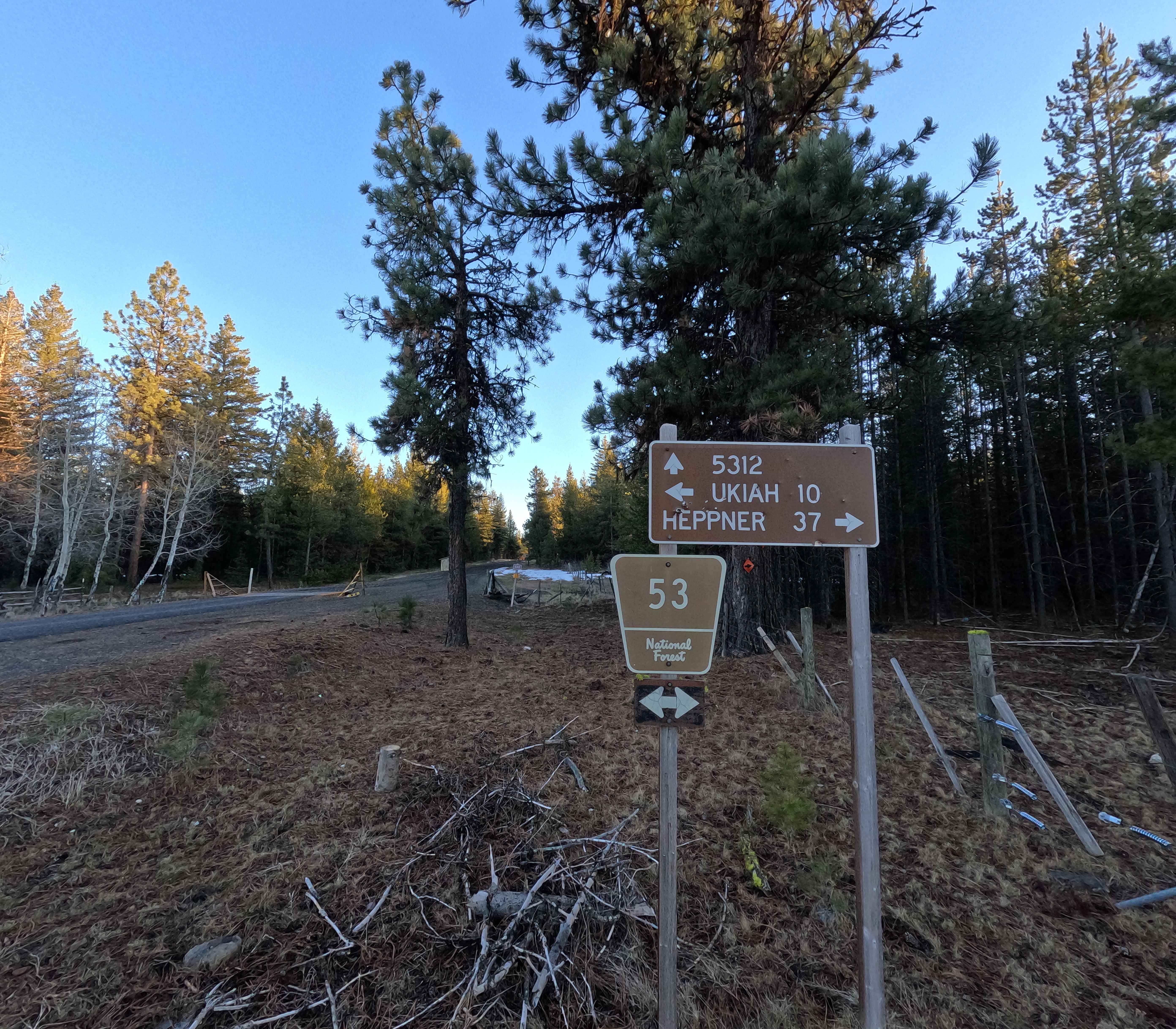
FS 5312
Total Miles
6.7
Technical Rating
Best Time
Summer, Fall
Trail Type
Full-Width Road
Accessible By
Trail Overview
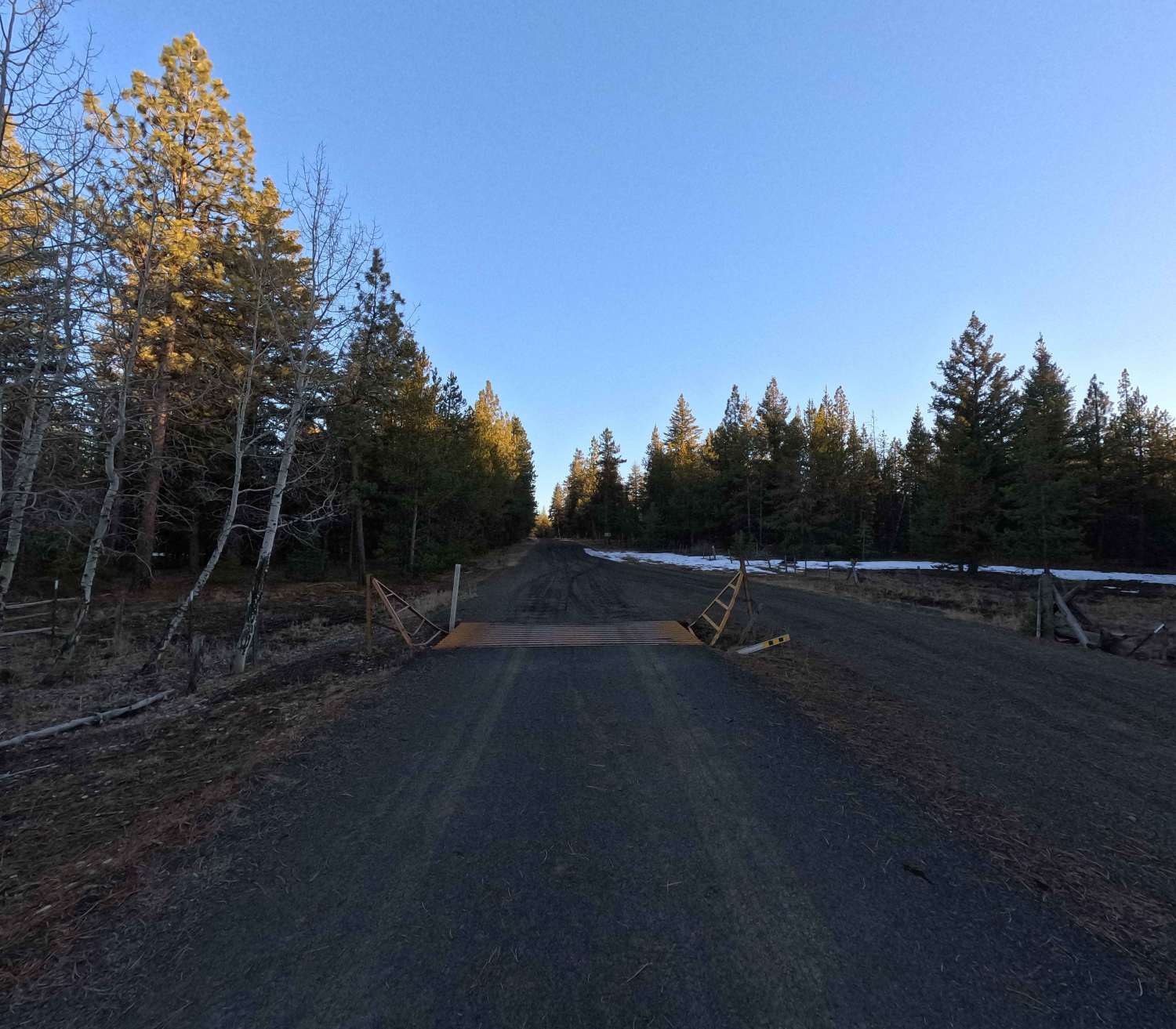
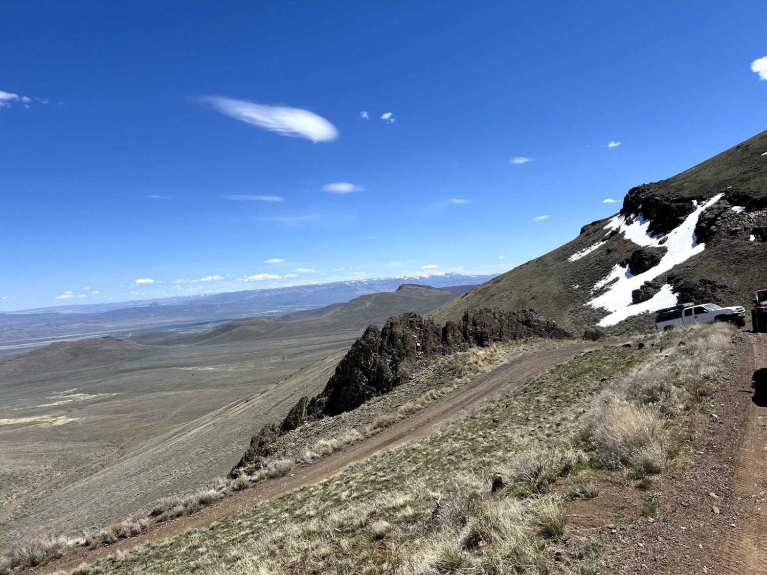
FS 5312 is a 6.7-mile point-to-point trail beginning at its intersection with FS 53 and terminating at FS 5320. The road surface is wide, well-maintained, and generally smooth, with some sections of washboarding and water damage. In wet conditions, the road surface can become soft. This trail is managed by the Umatilla National Forest and is accessible year-round. Note: Photographs begin at the north end and proceed south.
Photos of FS 5312
Difficulty
FS 5312 is a smooth, well-maintained gravel road suitable for 2WD and low-clearance vehicles. The only roughness comes from washboarding and minor water damage. Weather conditions such as rain or snow can significantly affect trail difficulty. A chainsaw or other equipment for clearing windfall is recommended.
Status Reports
FS 5312 can be accessed by the following ride types:
- High-Clearance 4x4
- SUV
- SxS (60")
- ATV (50")
- Dirt Bike
FS 5312 Map
Popular Trails
Gray Butte Summit
Keeps Mill North Access

The onX Offroad Difference
onX Offroad combines trail photos, descriptions, difficulty ratings, width restrictions, seasonality, and more in a user-friendly interface. Available on all devices, with offline access and full compatibility with CarPlay and Android Auto. Discover what you’re missing today!