16
Total Miles
1.5
Technical Rating
Best Time
Fall, Spring
Trail Type
50" Trail
Accessible By
Trail Overview
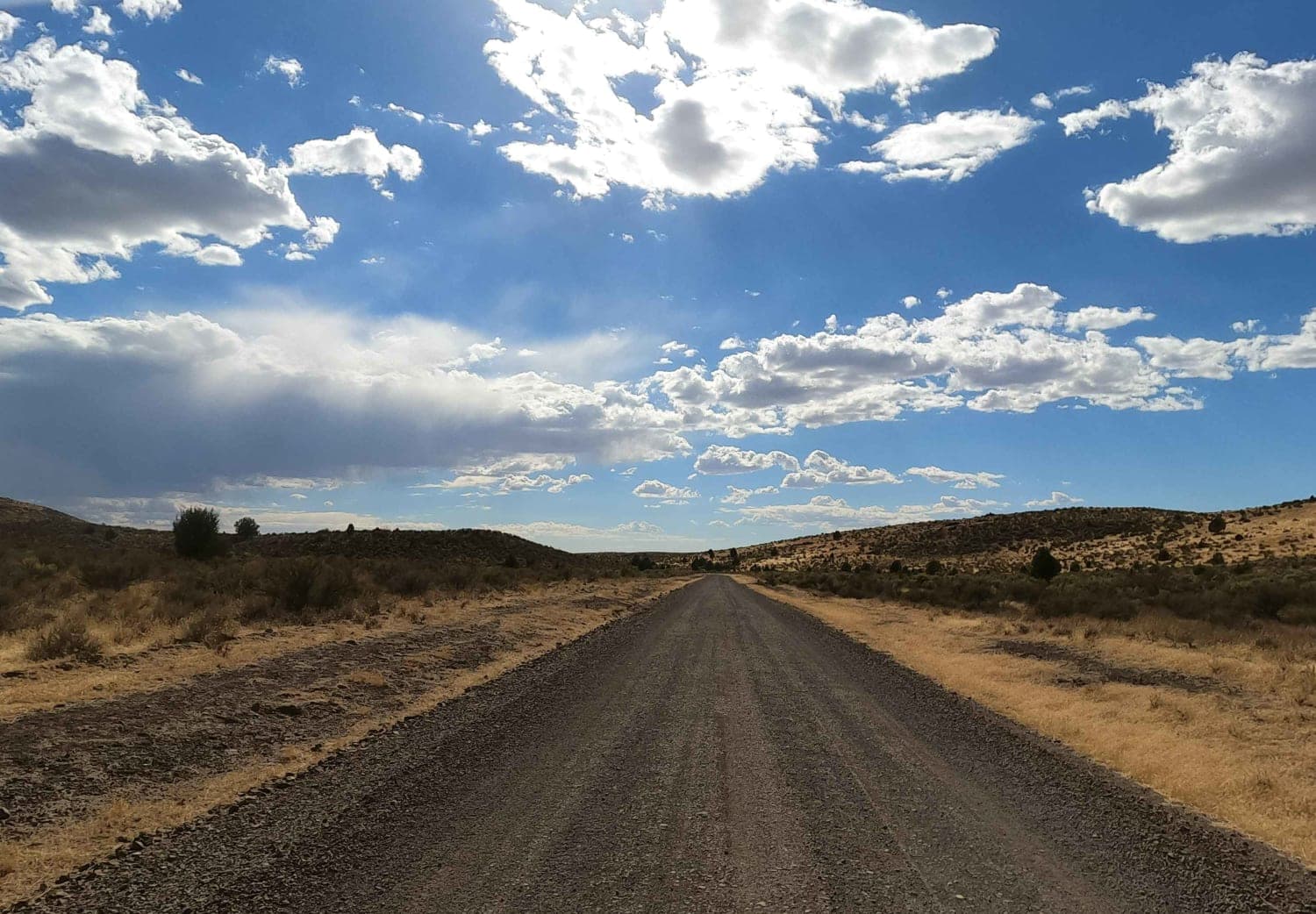
Trail 16 begins at its north end on a flat mesa surrounded by sagebrush fields, offering expansive 360-degree views. It follows a fence line with a series of large hills featuring steep, loose descents, followed by equally steep climbs, sometimes with a big dip at the bottom. These repeated elevation changes, combined with extremely deep whoops, make the trail physically demanding and moderately challenging despite its otherwise straightforward layout.
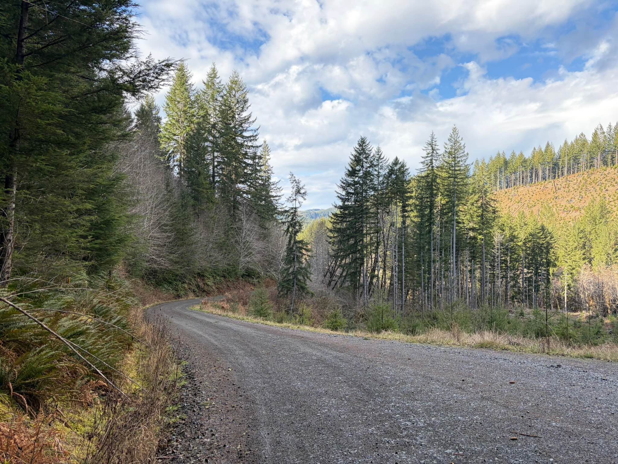
Photos of 16


Difficulty
This is a moderate route with deep whoops and steep climbs and descents. This is rated Most Difficult by the Forest Service.
Status Reports
16 can be accessed by the following ride types:
- ATV (50")
- Dirt Bike
16 Map
Popular Trails
Soldier Creek Road
Ginger Creek Road

Bacona-Pisgah Home Road

Soda Fork - 2041
The onX Offroad Difference
onX Offroad combines trail photos, descriptions, difficulty ratings, width restrictions, seasonality, and more in a user-friendly interface. Available on all devices, with offline access and full compatibility with CarPlay and Android Auto. Discover what you’re missing today!