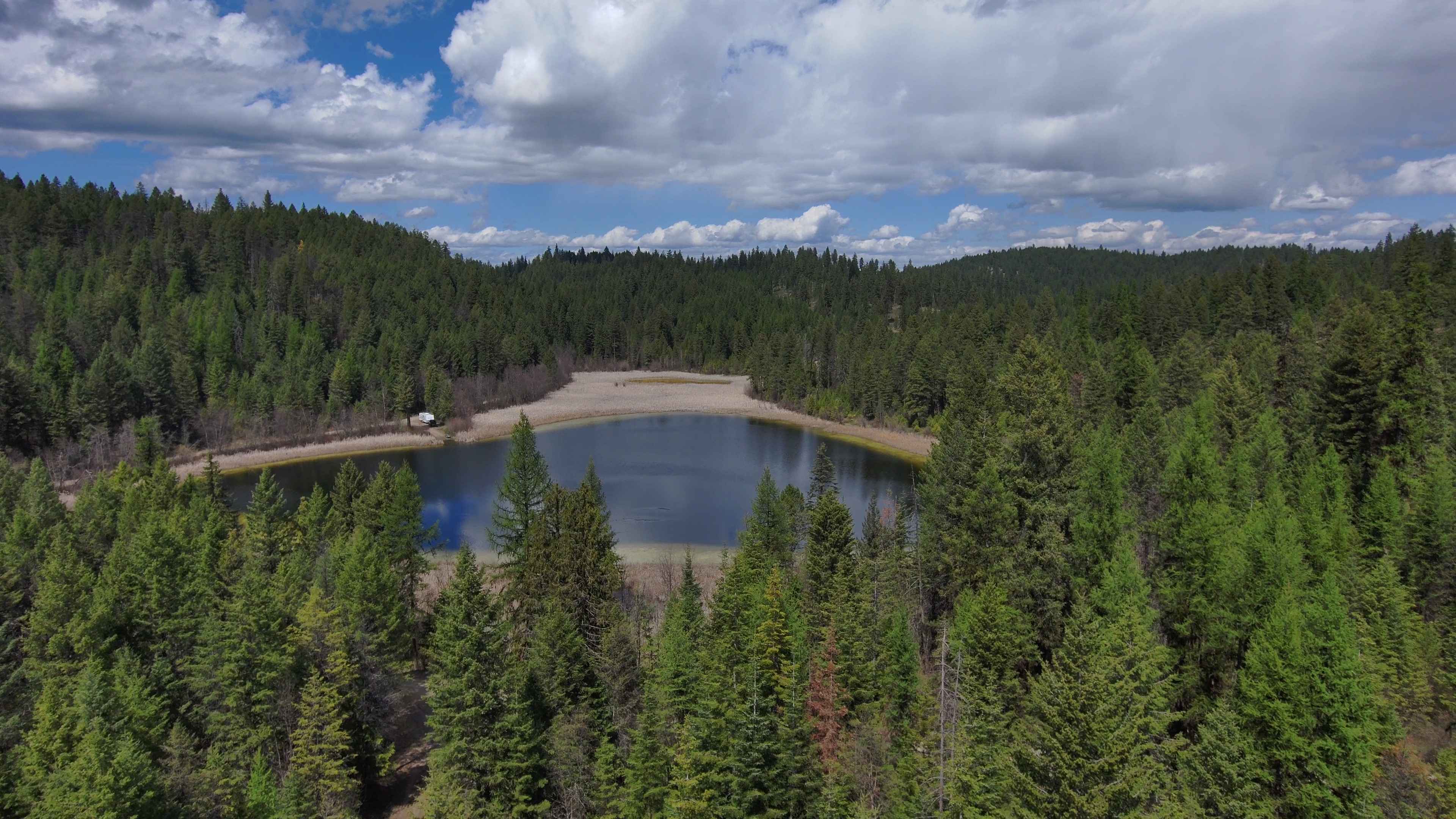
Rigley Lake
Total Miles
10.7
Technical Rating
Best Time
Summer
Trail Type
Full-Width Road
Accessible By
Trail Overview
Rigley Lake offers miles of state DNR lands for riding. This route features a visit to Rigley Lake, then to the NW corner of the DNR lands for a viewpoint overlooking Lake Roosevelt National Recreation Area and into Canada. The route then heads down county roads to the Columbia River where OHVs have to turn around and use county and DNR roads to return to the staging area in Kettle Falls. Kettle Falls Middle School can be used for staging on weekends. Meyer's Falls Interpretive Area is a great stop along the route along with the old mines and quarries in the area. Search for copper, silver, and gold ores along the way. Vanasse Road can be used as a loop for Jeeps, trucks, and passenger cars, but OHVs can't use the state highway nor the RR right of way to get back to Kettle Falls. If you ride down Vanasse Road, it's recommended to go back up to Pingston Creek Road and travel back the way you came on Highland Loop Road to get back across Hwy 395. It is illegal for OHVs to cross 395 at an intersection. This is a family-friendly route with no obstacles other than mud puddles, ruts, and possible deadfall in the DNR lands. Rigley Lake is a stocked with fish. Washington licensed OHVs don't need a state Discover Pass, but out-of-state and non-OHVs need to purchase this pass before using DNR lands. Low-clearance and long wheelbase vehicles will be okay on this route.
Photos of Rigley Lake

Difficulty
Paved, dirt, or gravel roads that are usually well-maintained; DNR roads may have water, mud, snow, ruts, or deadfall on the roads and may be impassable in the winter. There are no obstacles on this route.
Status Reports
Rigley Lake can be accessed by the following ride types:
- High-Clearance 4x4
- SUV
- SxS (60")
- ATV (50")
- Dirt Bike
Rigley Lake Map
Popular Trails
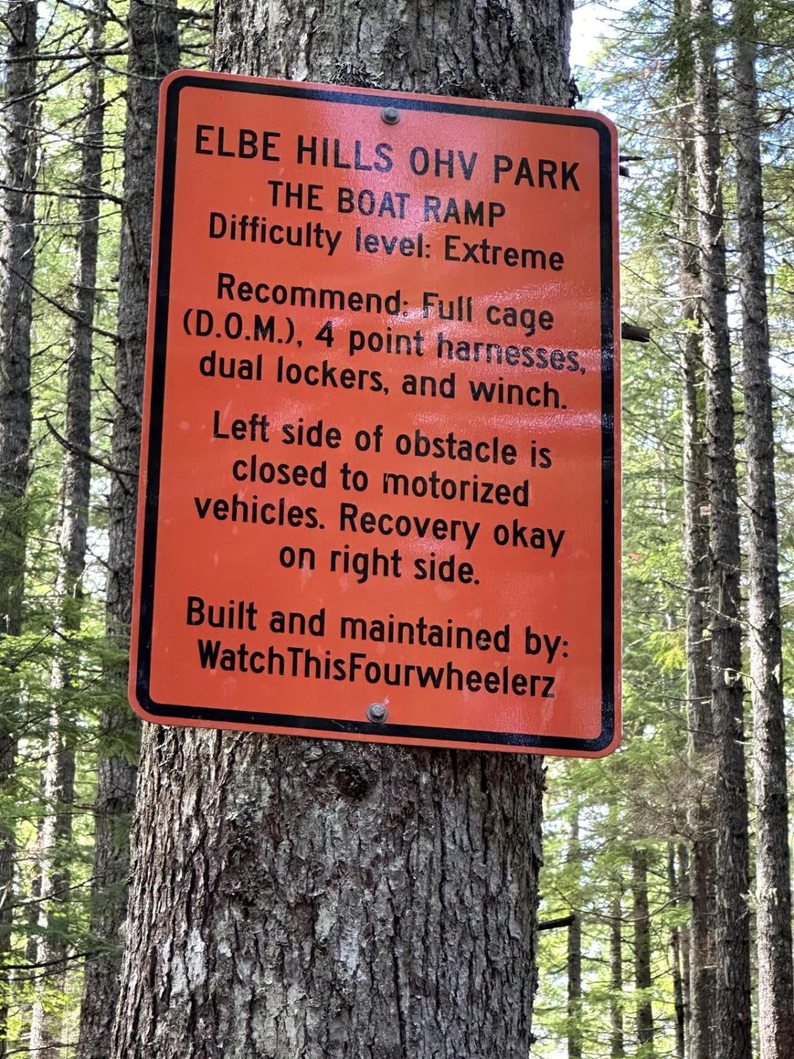
Elbe Hills Boat Ramp

Stahl Mountain Trail


CG 1400 Connecting Trail
The onX Offroad Difference
onX Offroad combines trail photos, descriptions, difficulty ratings, width restrictions, seasonality, and more in a user-friendly interface. Available on all devices, with offline access and full compatibility with CarPlay and Android Auto. Discover what you’re missing today!