Chiatovitch Creek to Middle Creek
Total Miles
11.7
Technical Rating
Best Time
Spring, Fall
Trail Type
High-Clearance 4x4 Trail
Accessible By
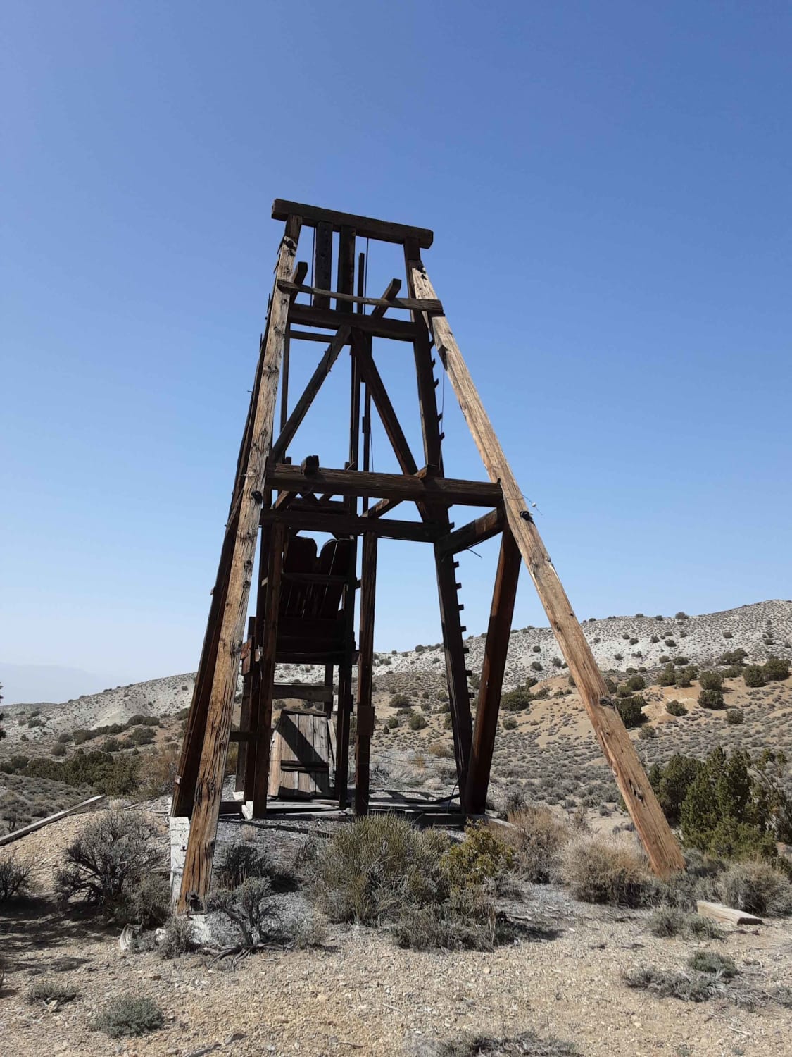
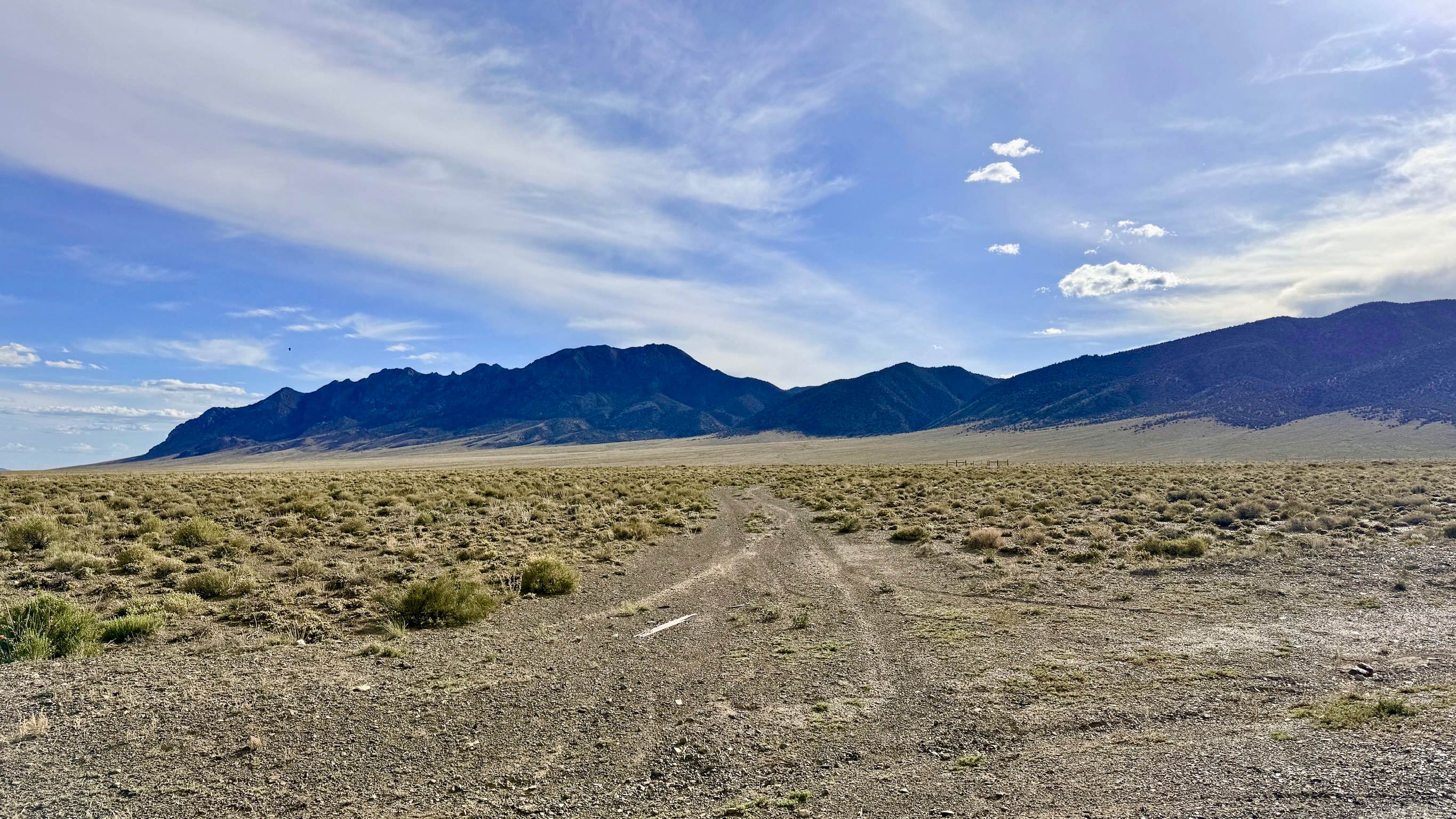
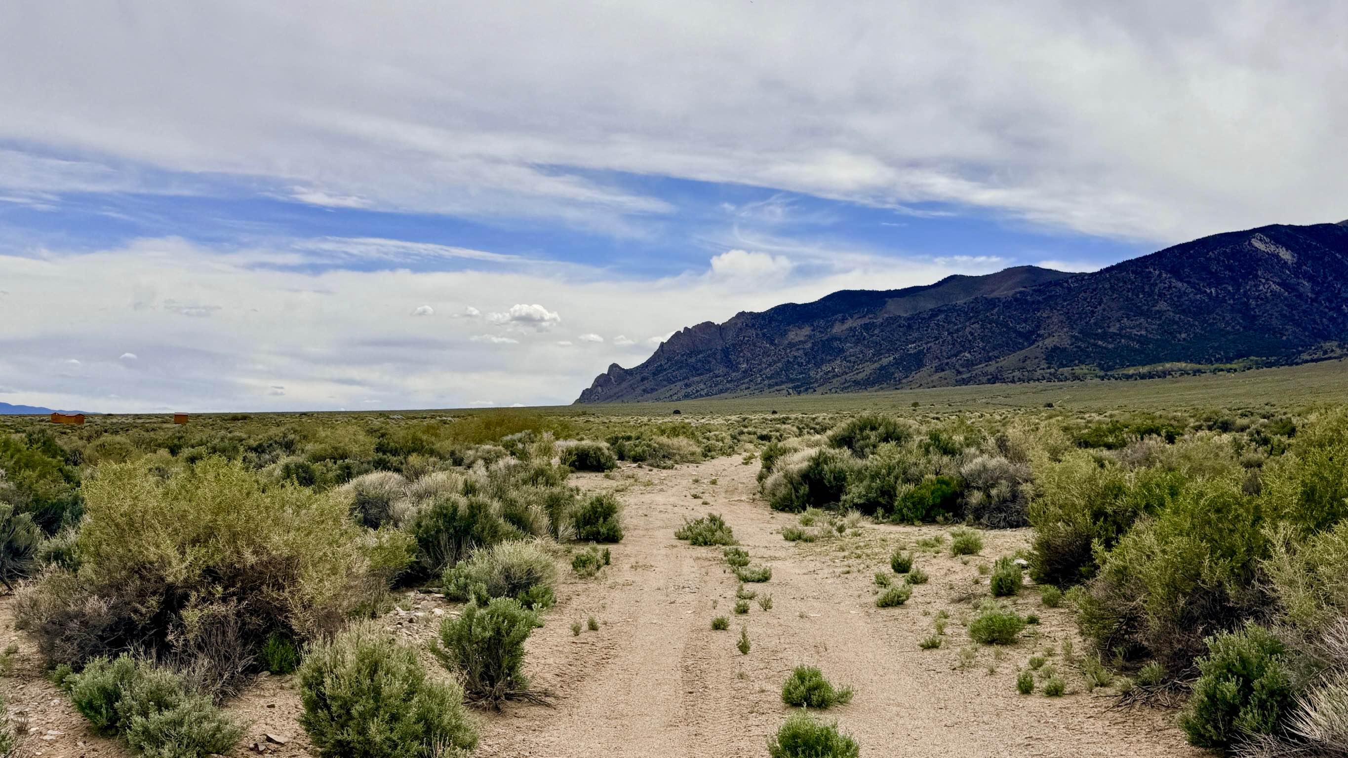
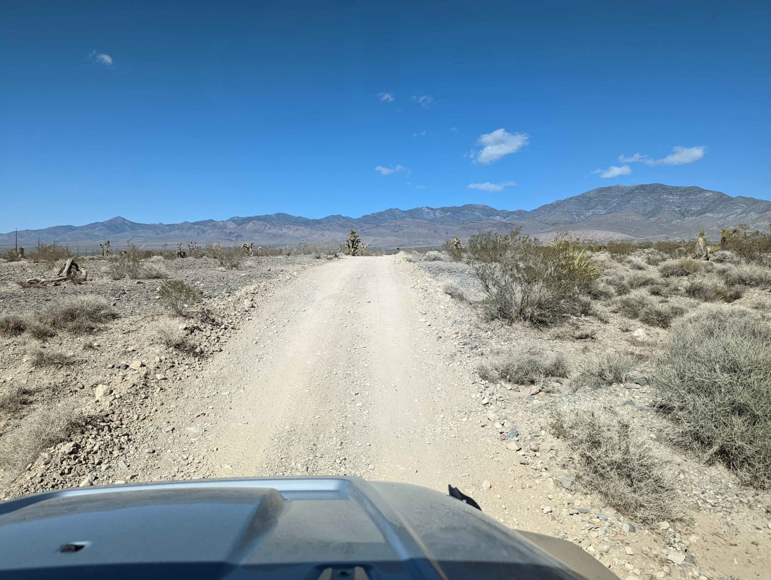
Trail Overview
The lower trail is an easy grader with plenty of washboard and scattered rocks. It begins cutting through the neighborhood and while climbing offers amazing views of the valley below. Once you pass all the housing and cross into Inyo National Forest on middle creek and trail becomes narrow and rocky. At the end of the residential road, It's not immediately apparent where the trail goes, the road ends at a T where you go left, then it goes past a container home where you turn right, then you cross into the forest boundary. There are lots of dispersed camping spots with creek access along the way. At one point a spring crossed and runs along the road, be careful of mud, and in the winter it became an ice field. The trail ends at the middle creek hiking trail and a nice camping spot along the creek. Once you get on the middle creep portion of the trail it is very narrow with no service.
Photos of Chiatovitch Creek to Middle Creek


Difficulty
Should be easy for most 4x4's maybe some paint damage as the trail narrows and becomes rocky with more obstacles.
Status Reports
Chiatovitch Creek to Middle Creek can be accessed by the following ride types:
- High-Clearance 4x4
- SxS (60")
- ATV (50")
- Dirt Bike
Chiatovitch Creek to Middle Creek Map
Popular Trails
The Road to the Simon Lead Mine
Antelope Creek - FS 44430
Broad Canyon - FS 44212
The onX Offroad Difference
onX Offroad combines trail photos, descriptions, difficulty ratings, width restrictions, seasonality, and more in a user-friendly interface. Available on all devices, with offline access and full compatibility with CarPlay and Android Auto. Discover what you’re missing today!