Ray-646 Connector
Total Miles
0.6
Technical Rating
Best Time
Spring, Summer, Fall
Trail Type
Full-Width Road
Accessible By
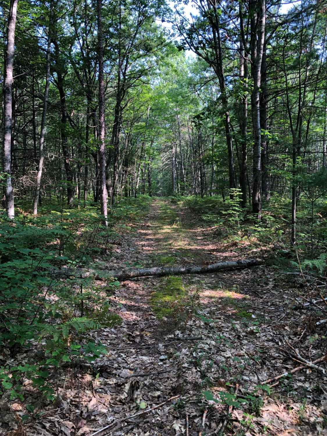
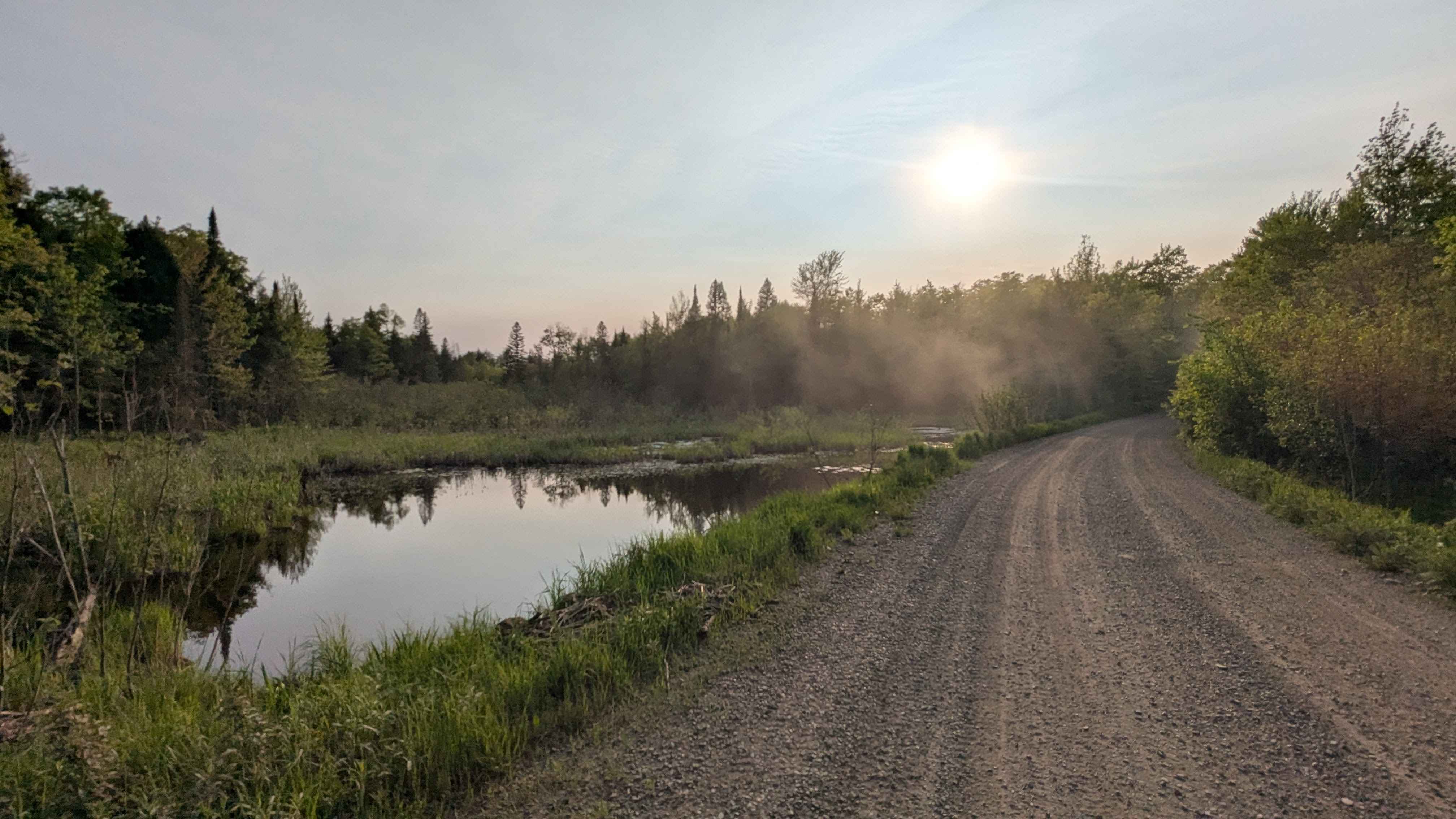
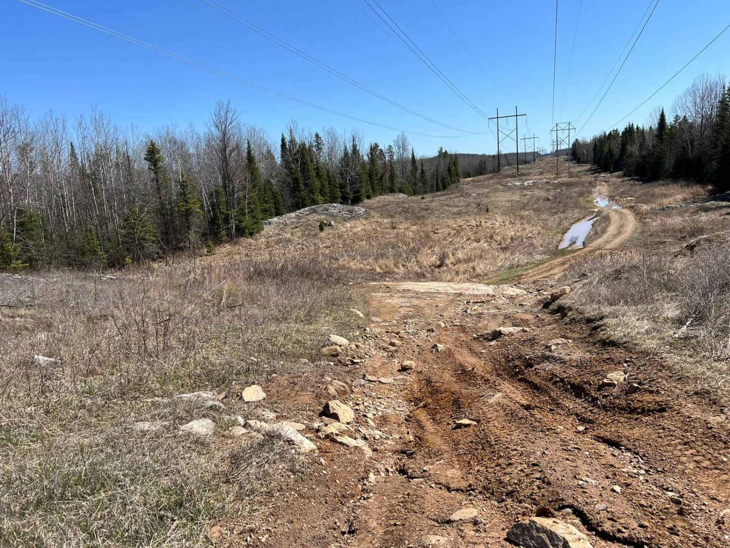
Trail Overview
This trail is a connector between Ray Highway and Trail 646. The trail is a grass and dirt single-lane through the forest. It is quite tight most of the way, so if pinstripes are a concern you may want to avoid this one. This trail is very lightly traveled, which adds to the feeling of adventure. Areas to deal with oncoming traffic are limited so keep that in mind as you travel.
Photos of Ray-646 Connector

Difficulty
There are no obstacles to negotiate, this is just a tight single-lane trail.
Status Reports
Ray-646 Connector can be accessed by the following ride types:
- High-Clearance 4x4
- SUV
- SxS (60")
- ATV (50")
- Dirt Bike
Ray-646 Connector Map
Popular Trails
Black Creek Road

The Fish Bowl
Norway Truck Trail 3 North Loop

West Schafer Trail
The onX Offroad Difference
onX Offroad combines trail photos, descriptions, difficulty ratings, width restrictions, seasonality, and more in a user-friendly interface. Available on all devices, with offline access and full compatibility with CarPlay and Android Auto. Discover what you’re missing today!