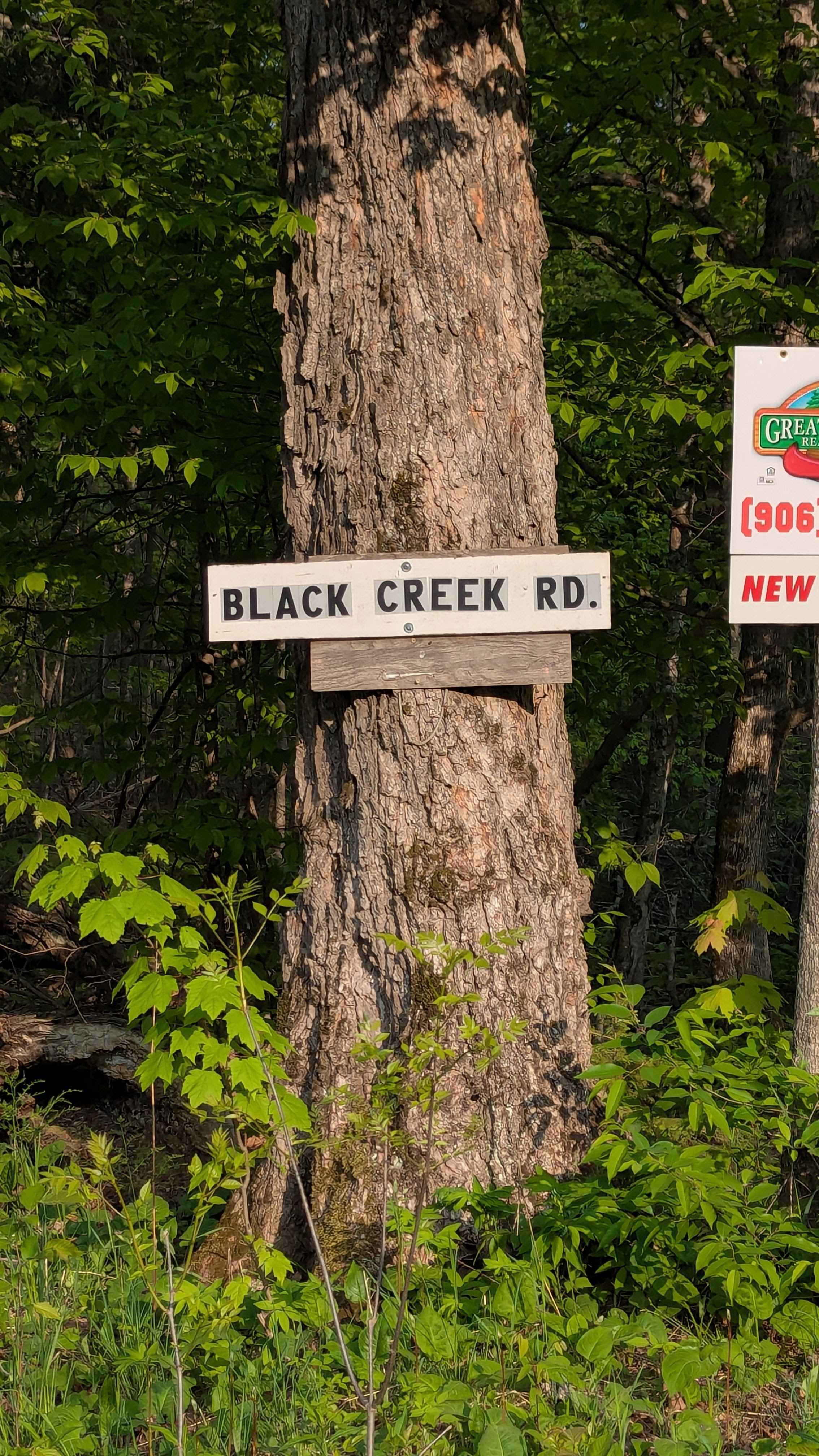
Black Creek Road
Total Miles
11.2
Technical Rating
Best Time
Spring, Summer, Fall
Trail Type
Full-Width Road
Accessible By
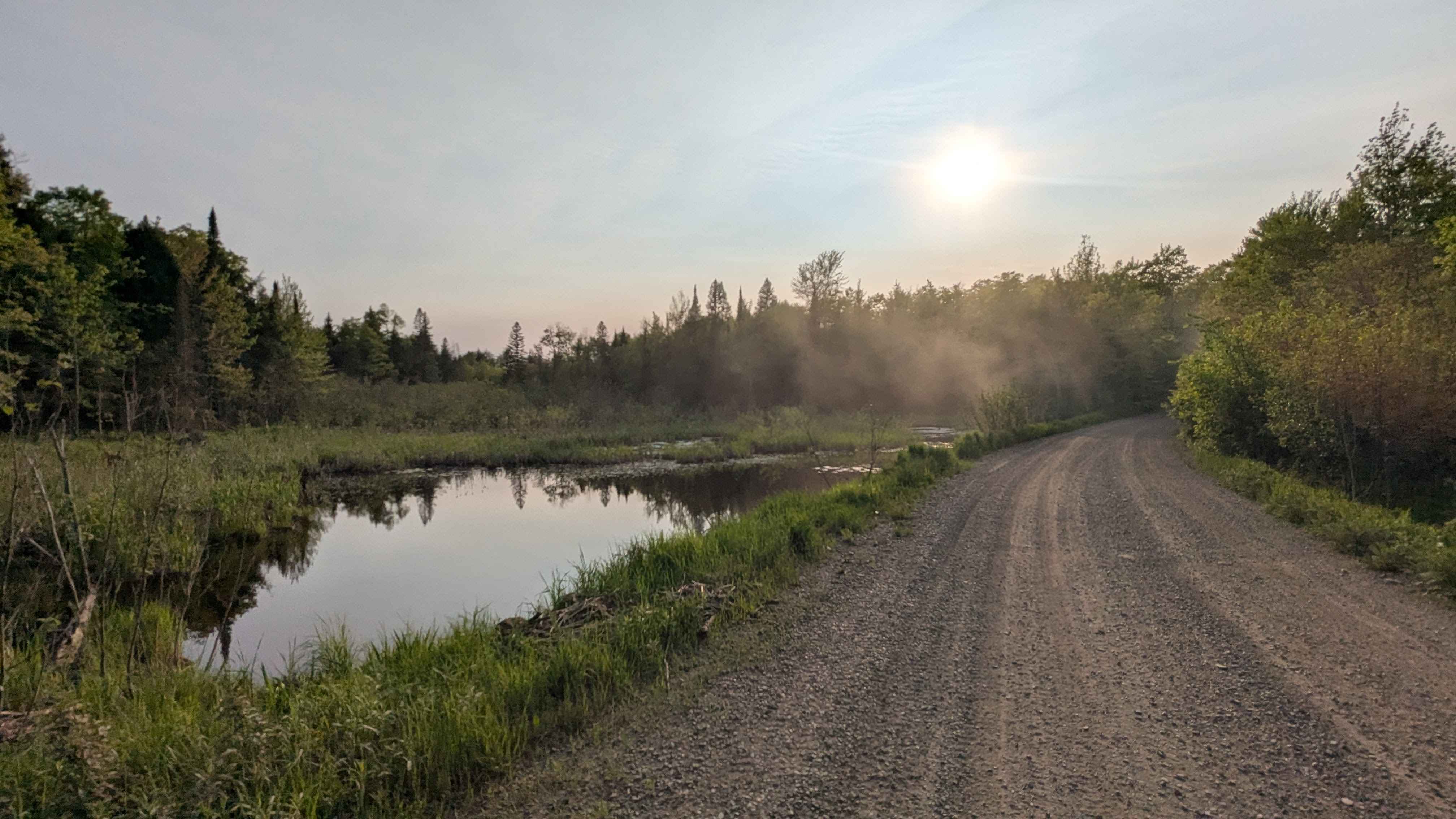
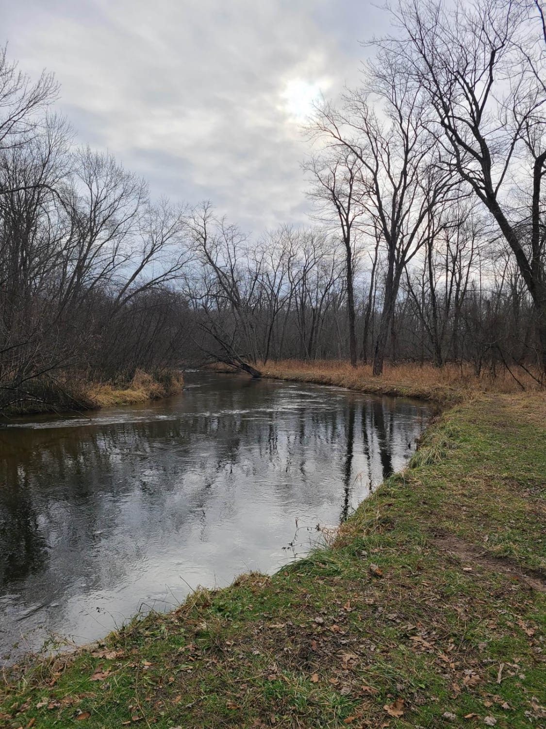
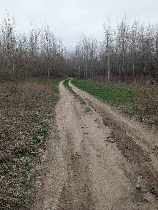
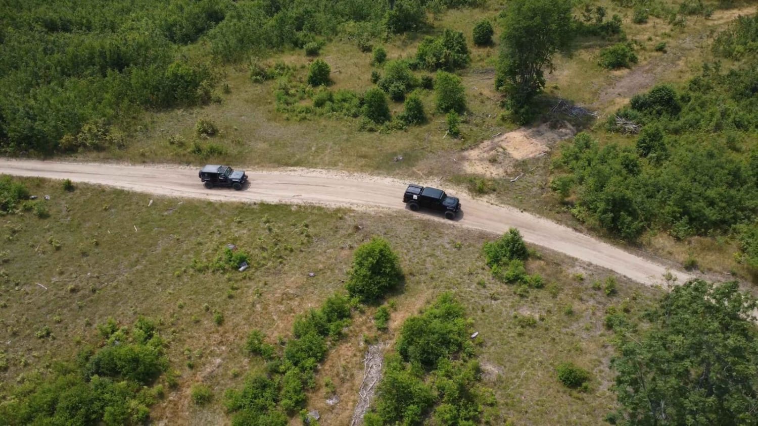
Trail Overview
From the north at mile marker 5 on Black Creek Road, there is a bridge and a parking lot that can hold about 12 vehicles. A short 150-foot walk from here leads to Leatherby Waterfall. Black Creek Road continues for another 6 miles, looping back to itself. After the waterfall, the road narrows and shifts to a mix of dirt, rock, gravel, and potholes, requiring slower travel. While two-wheel drive is generally sufficient, all-wheel drive is recommended. The loop finishes with a crossing over a rustic timber bridge.
Photos of Black Creek Road
Difficulty
This route is accessible by two-wheel drive and all-wheel drive vehicles, with no significant obstacles to limit access.
Status Reports
Black Creek Road can be accessed by the following ride types:
- High-Clearance 4x4
- SUV
Black Creek Road Map
Popular Trails

Perry Holt Rod
Birch Tree Trail
Rothberry Forest Loop Access
The onX Offroad Difference
onX Offroad combines trail photos, descriptions, difficulty ratings, width restrictions, seasonality, and more in a user-friendly interface. Available on all devices, with offline access and full compatibility with CarPlay and Android Auto. Discover what you’re missing today!