Morgan Mountain Road
Total Miles
8.3
Technical Rating
Best Time
Spring, Summer, Fall, Winter
Trail Type
Full-Width Road
Accessible By
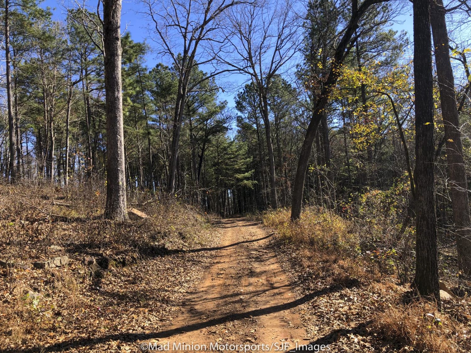
Trail Overview
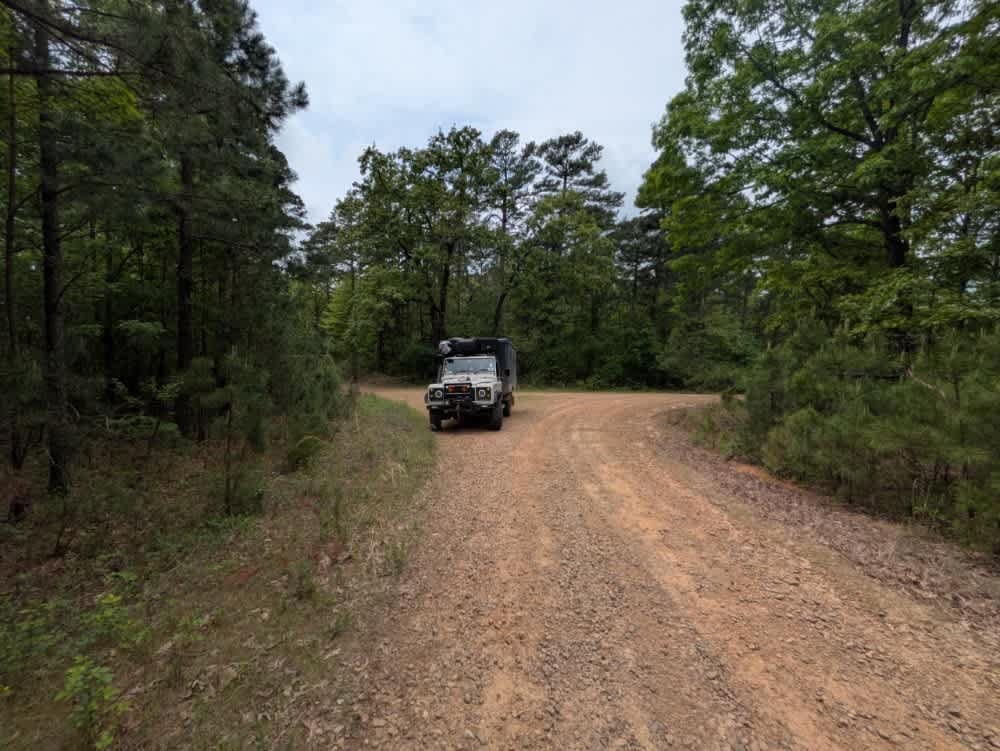
Morgan Mountain Trail runs through the Ozark National Forest near Cass, Arkansas. The road is accessible at several points along the route. This trail used to extend further, however, there was a landslide that caused a northern section of this trail to be closed. The western access road from CR215 is a very easy drive that is well maintained. This area of the road has several primitive camping areas. There is trail access point for the Ozark Highland trail, which is a popular hiking trail. The road also has multiple access points for other off-road trails in the area. The Northern section of the road has had issues with landslides and is closed at times for repair. The northern connecting roads are fairly well maintained and continue as an easy drive for most all vehicles. The road connects to Rd 33/5051.
Photos of Morgan Mountain Road
Difficulty
This is a forest road that is well maintained and used very often. The road is temporarily closed between Lumpkin Creek trail and Beach Grove Trail due to a landslide that has covered the road. This cannot be bypassed at this time.
Status Reports
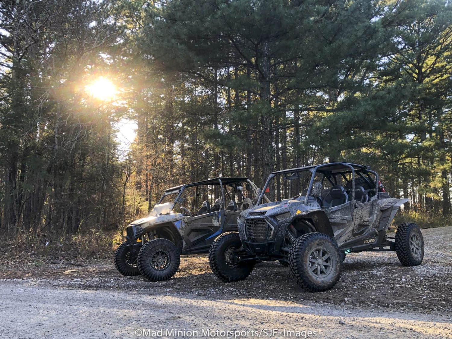
Morgan Mountain Road can be accessed by the following ride types:
- High-Clearance 4x4
- SUV
- ATV (50")
- Dirt Bike
Morgan Mountain Road Map
Popular Trails
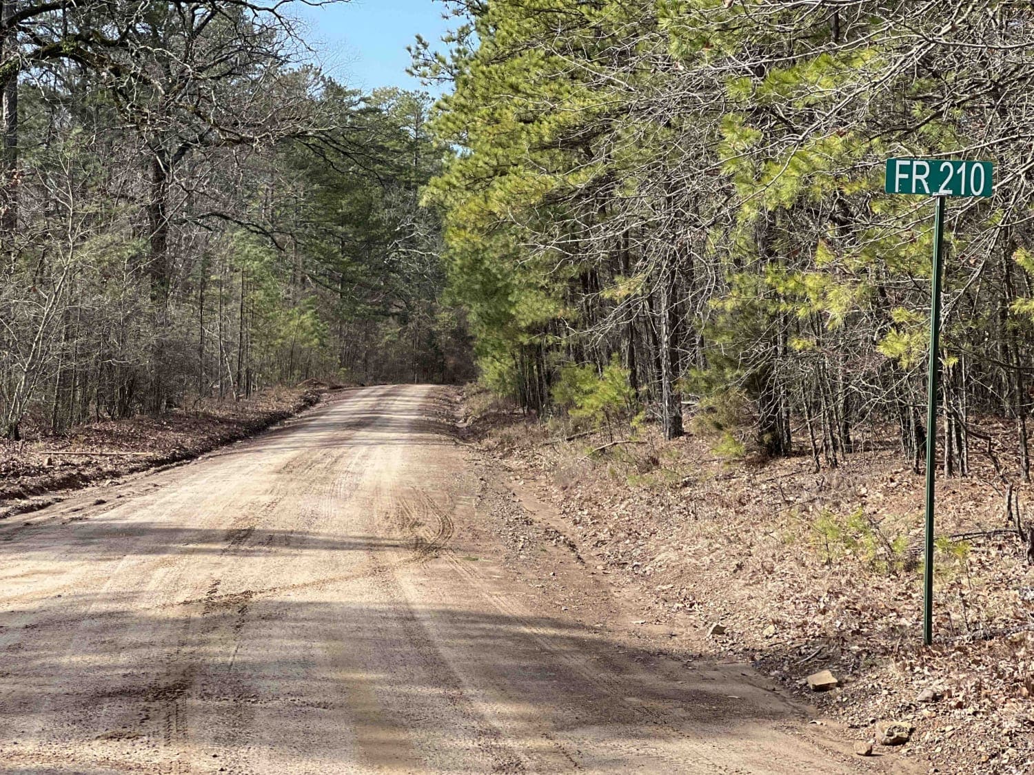
Link Mountain Road 210

Valentine Ridge

Gap Hollow Spur South 1
Hickory Grove
The onX Offroad Difference
onX Offroad combines trail photos, descriptions, difficulty ratings, width restrictions, seasonality, and more in a user-friendly interface. Available on all devices, with offline access and full compatibility with CarPlay and Android Auto. Discover what you’re missing today!