Loop 7
Total Miles
4.2
Technical Rating
Best Time
Spring, Summer, Fall
Trail Type
50" Trail
Accessible By
Trail Overview
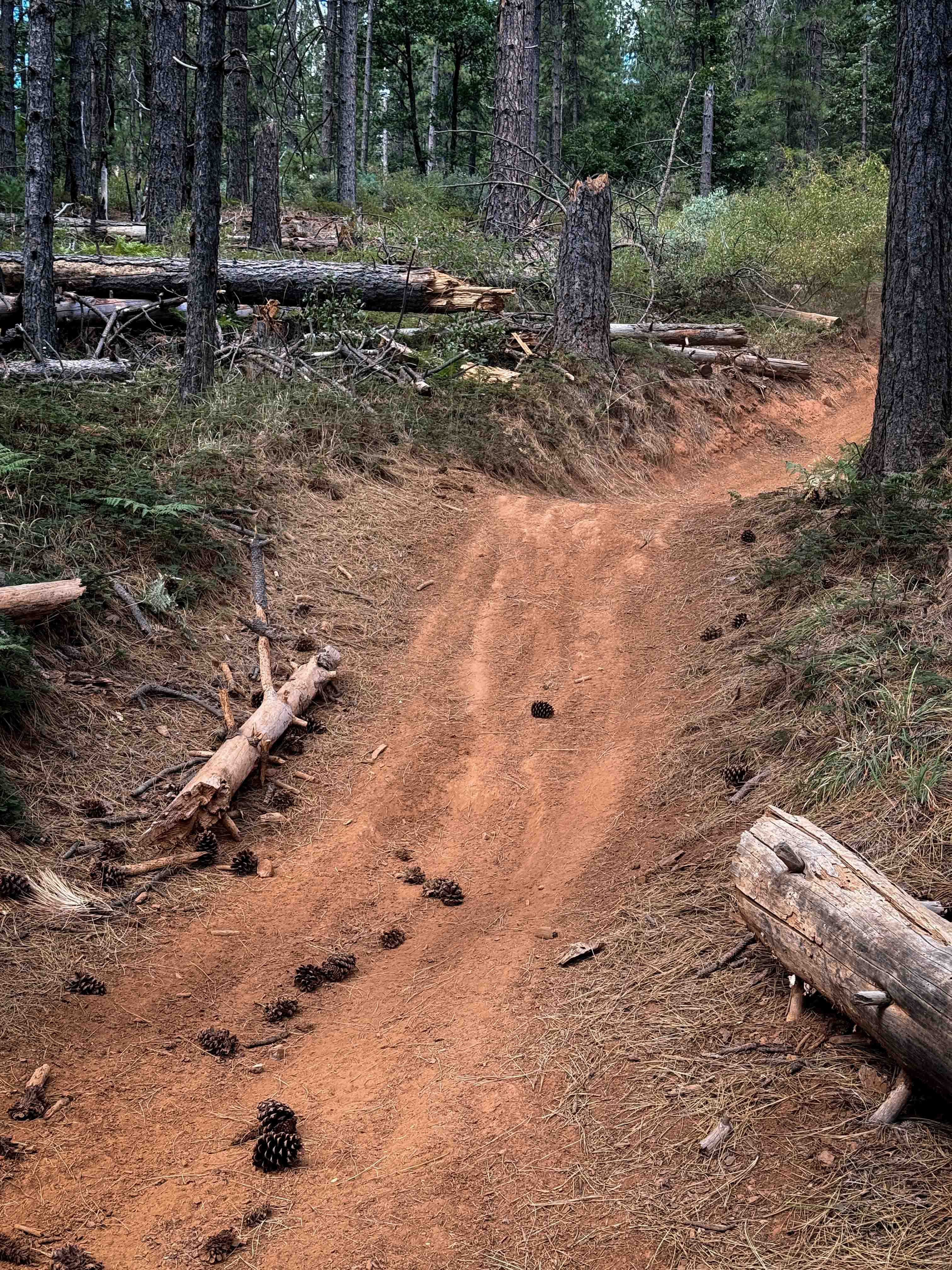
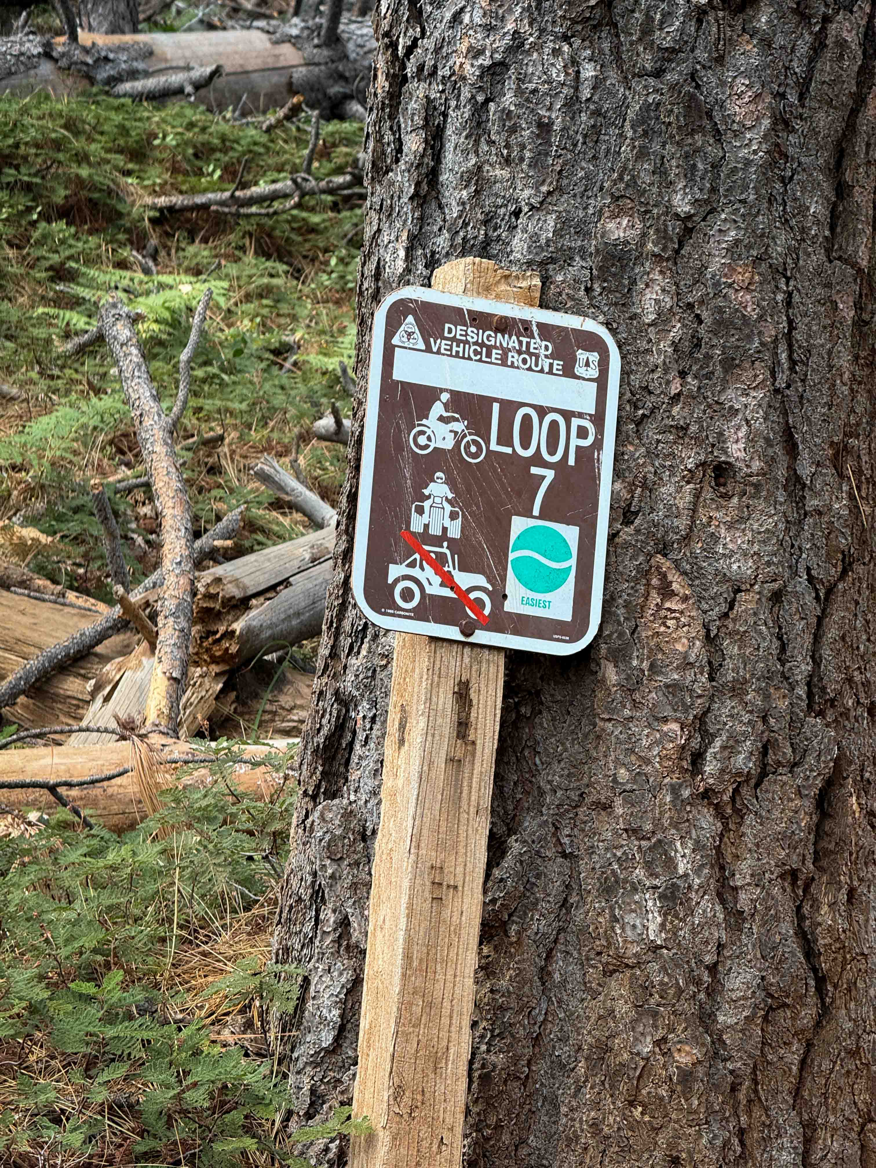
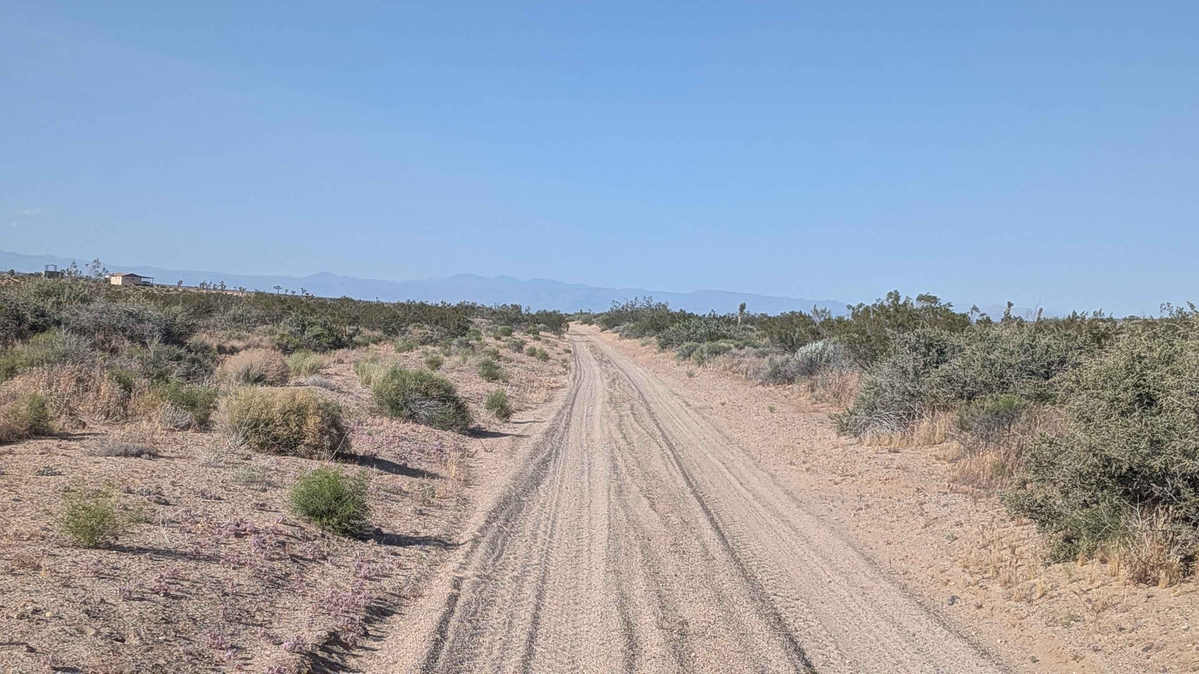
Loop 7 is a very easy ATV loop in the Foresthill OHV System near Foresthill, California. The loop is just over 4 miles long, and remains wide and obstacle-free for the entire route. The trail winds along the hillsides through a dry and open forest of cedars, dogwoods, ferns, and manzanita bushes. Some sections are curvier, with big banked corners and waterbars that are fun to jump off of, where you can get a rhythm going. It's a fun loop for newer or younger riders with good visibility and low consequences. On the east side of the loop, you can get a small view of the Big Reservoir through the trees. The trail is very dry and dusty, especially in the summertime. Watch for downed logs and stick debris, although the trail is mostly clear of logs. It's very well marked and easy to follow, with several road crossings. Both ends of this trail start on ATV Loop 1, which is similar in ease.
Photos of Loop 7
Difficulty
This is an easy ATV trail as it doesn't have any major obstacles, and is mostly fast and flowy. Minor features include banked corners, ruts and roots, and dusty conditions, but it is ideal for riders of all skill levels.
Loop 7 can be accessed by the following ride types:
- ATV (50")
- Dirt Bike
Loop 7 Map
Popular Trails
Pinyon & Vista Trail Loop - FS 2E20
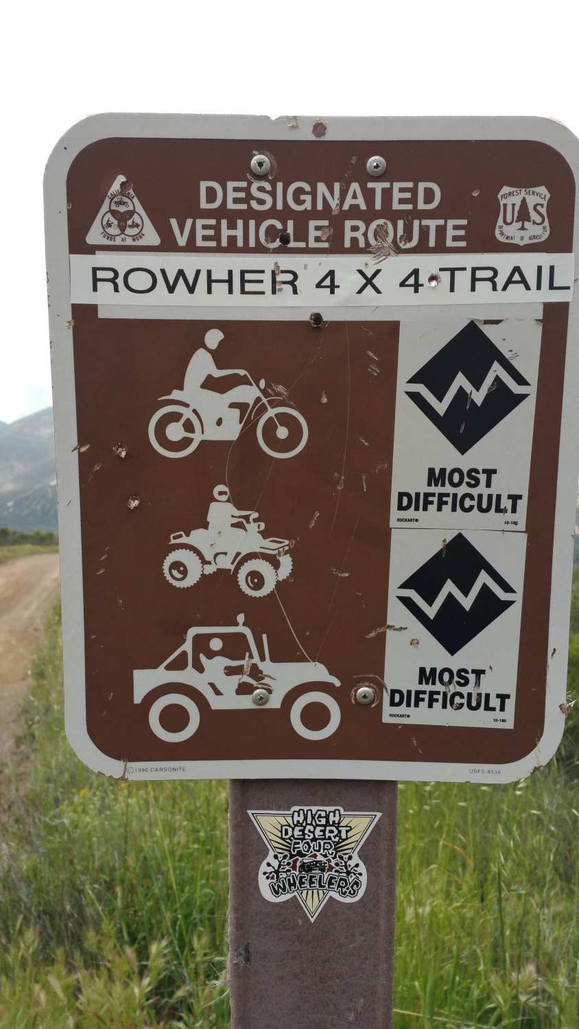
Rowher 4x4 Trail - FS 3414W19
Red Rock Inyokern South
The onX Offroad Difference
onX Offroad combines trail photos, descriptions, difficulty ratings, width restrictions, seasonality, and more in a user-friendly interface. Available on all devices, with offline access and full compatibility with CarPlay and Android Auto. Discover what you’re missing today!