Manzanares Ridge - CR 520
Total Miles
12.3
Technical Rating
Best Time
Summer, Fall, Winter, Spring
Trail Type
Full-Width Road
Accessible By
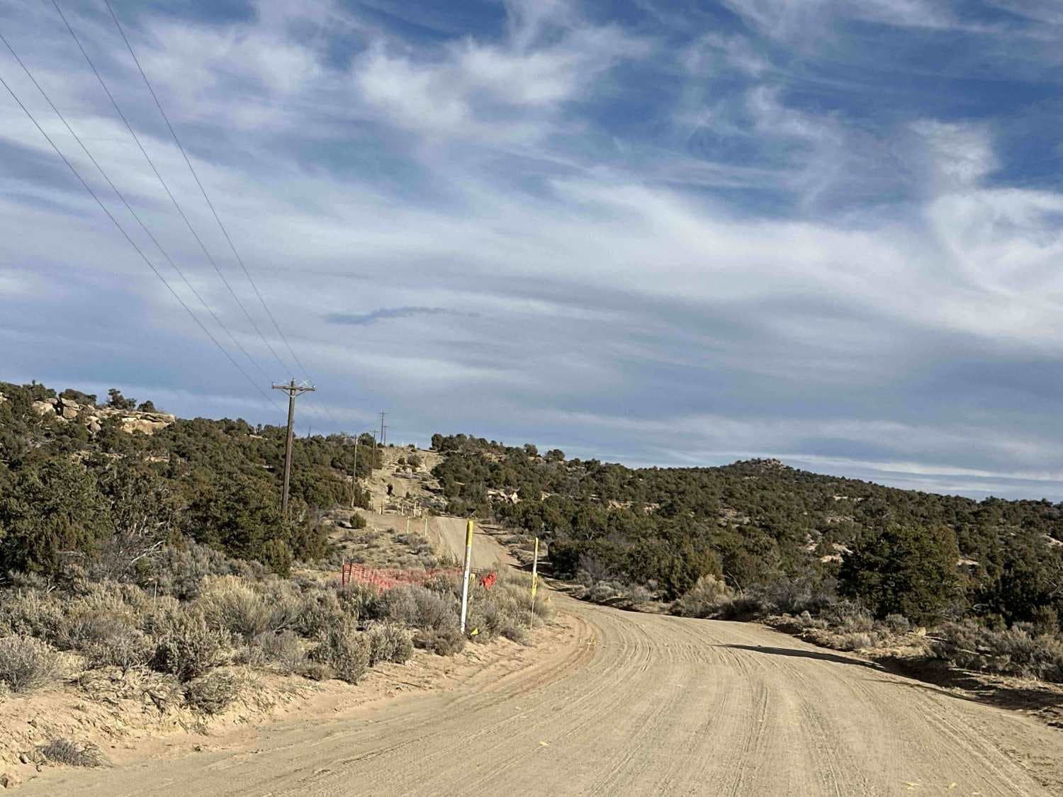
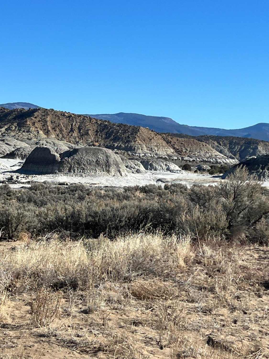
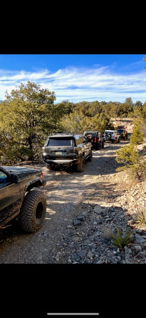
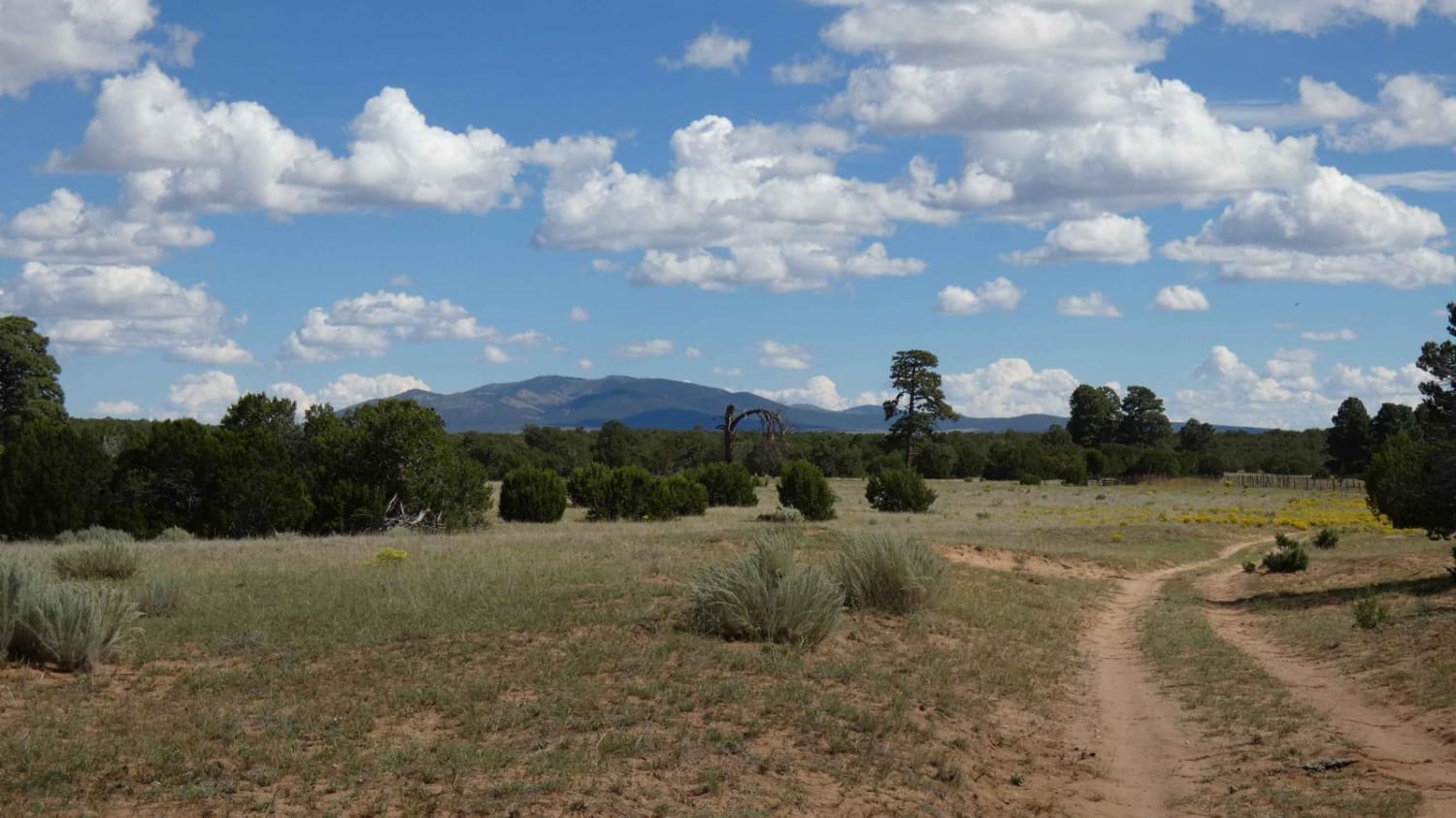
Trail Overview
Manzanares Ridge (CR 520) is a gorgeous Sunday drive, winding through fields of sagebrush dotted with juniper and pinion trees. Its placement along the high point of Manzanares Mesa offers panoramic views as the trail skirts the tops of cliffs several hundred feet high. While this well-traveled oil access road is rated an "easy" 2 and presents little technical difficulty, it makes up for it with breathtaking vistas and access to spurs and routes of greater technical or cultural significance. Toward the eastern end of the trail, travelers can view and visit the Three Corn and Fortress Pueblitos. For more details about these historic sites, including GPS coordinates and information on obtaining a permit, visit https://www.aztecnm.com/archaeology/index.html.Pulling off to hike or explore one of the many side trails often reveals signs of elk, deer, or cattle.
Photos of Manzanares Ridge - CR 520

Difficulty
The trail vacillates between one and two lanes, and is generally well-maintained. Heavy rutting was recently observed in some of the straight of ways but prudent route selection generally means 4 wheel drive and high clearance aren't necessarily required. As always weather conditions, precipitation, and recent traffic can greatly affect the difficulty of trail.
Status Reports
Manzanares Ridge - CR 520 can be accessed by the following ride types:
- High-Clearance 4x4
- SUV
- SxS (60")
- ATV (50")
- Dirt Bike
Manzanares Ridge - CR 520 Map
Popular Trails
Mesa de Cuba
Coyote Trail

San Luis Road to Guadalupe
Clarion Course
The onX Offroad Difference
onX Offroad combines trail photos, descriptions, difficulty ratings, width restrictions, seasonality, and more in a user-friendly interface. Available on all devices, with offline access and full compatibility with CarPlay and Android Auto. Discover what you’re missing today!