Clarion Course
Total Miles
4.2
Technical Rating
Best Time
Spring, Summer, Fall, Winter
Trail Type
Full-Width Road
Accessible By
Trail Overview
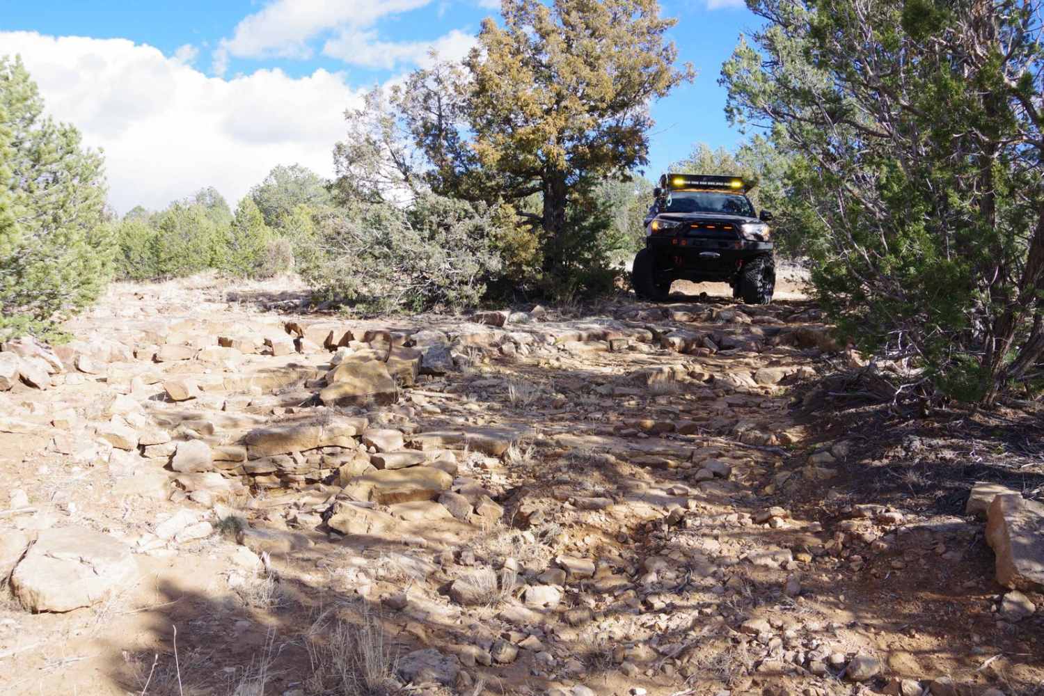
Clarion Course is one of the more clear-cut trails in the area and shows more signs of use than many of the others. The trail surface is a combination of dirt, sand, and rocks but does not have any obstacles larger than 10 inches. There are sections with minor rutting and some off-camber turns, however, the entire length of the trail will be easy for most high-clearance 2WD vehicles as well as AWD, 4WD, and 4x4s. Dispersed camping is permitted within a 2-mile section starting at the intersection of Windmill Way and going west just before the trail intersects the private land tract. Views are limited along the trail with the exception of a few open meadows and the east end of the trail that provides an open view of the mountains to the east. The track is primarily single-vehicle-width but does have enough room to pass if needed. Drivers should stay on the main trail and avoid spurs in the area as many are closed via USFS. Cell service is excellent along the length of the trail and with the light use and minimal traffic in the area, this is a great area to explore and camp. Wildlife is active in the area with elk and deer but it also includes coyotes that are not shy and will wander into your immediate location.
Photos of Clarion Course
Difficulty
While there are no obstacles larger than 10 inches along the trail, drivers should be aware of the softer sand sections and off-camber turns. Trail will be very soft and muddy after rain or snow melt and should be avoided with anything not AWD or 4WD.
Status Reports
Clarion Course can be accessed by the following ride types:
- High-Clearance 4x4
- SUV
- SxS (60")
- ATV (50")
- Dirt Bike
Clarion Course Map
Popular Trails

Silver Monument

GRT/FS201: Guadalupe Rim Trail

Gasline ATV

Rowe Mesa Loop
The onX Offroad Difference
onX Offroad combines trail photos, descriptions, difficulty ratings, width restrictions, seasonality, and more in a user-friendly interface. Available on all devices, with offline access and full compatibility with CarPlay and Android Auto. Discover what you’re missing today!

