Robledo Chili Canyons Loop
Total Miles
10.1
Technical Rating
Best Time
Spring, Fall, Winter
Trail Type
High-Clearance 4x4 Trail
Accessible By
Trail Overview
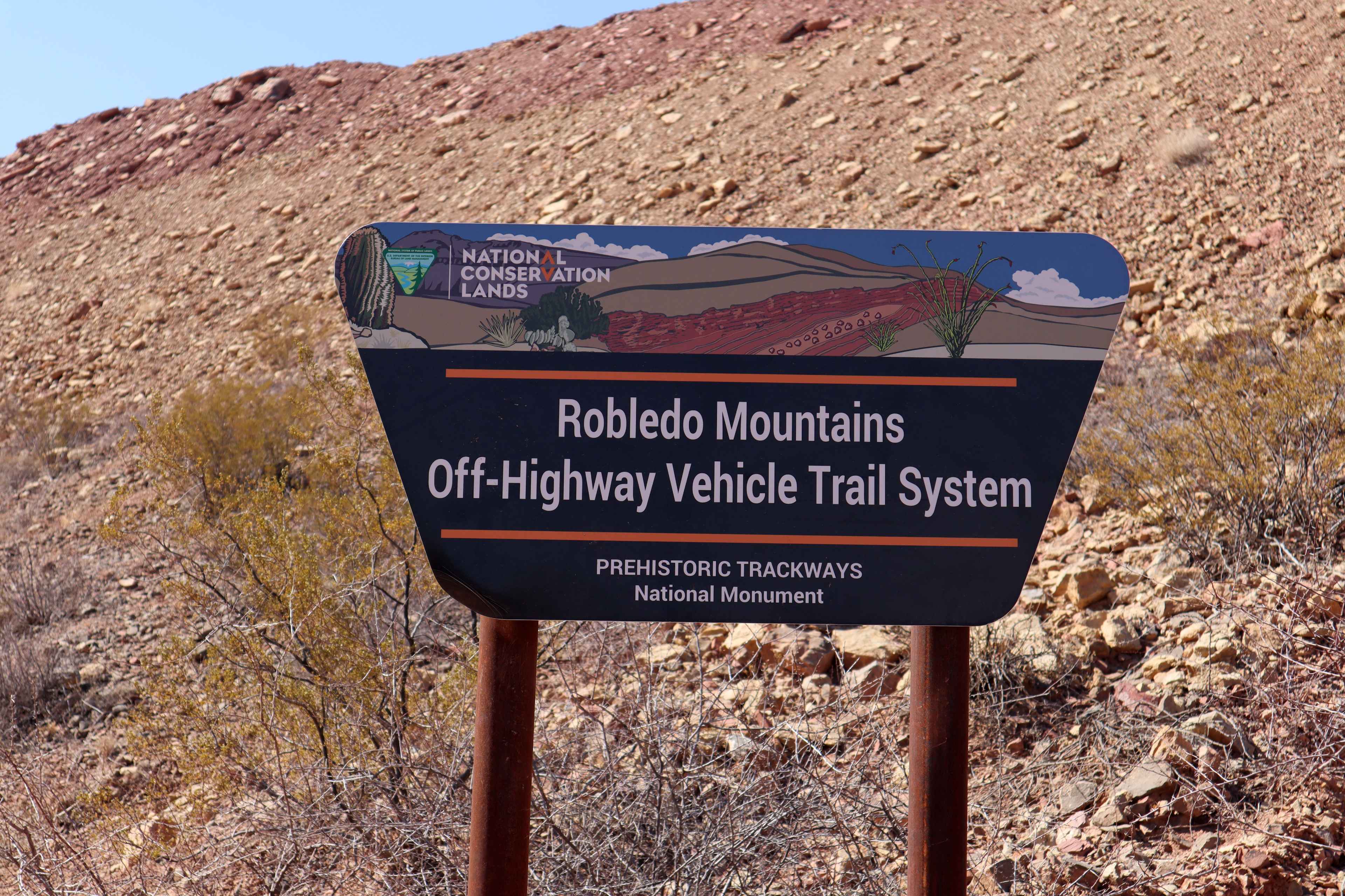
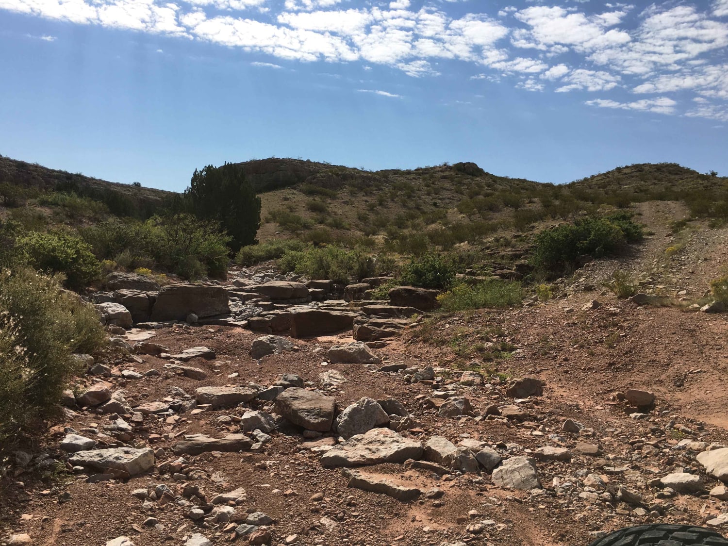
This trail is located within the Prehistoric Trackways National Monument/Robledo Mountains OHV Trail system. Opening up and giving one spectacular view of the Organ Mountains to the East and Las Cruces, NM. Free range cows will be found meandering around most trails as well. The trail is utilized as a loop around the various canyons and trails that are available to travelers. Most of the trails are marked with posts which inform motorists of the scaled rating of the trail. The vast majority of the trails located in the Robledo OHV system are difficult, this trail rated as a 4 out of 10 can still be considered difficult by some. Traversing in and out of arroyos and up steep mountain sides, tires are extremely important as many of the rocks are very sharp. Parts of this trail require navigating over rocks and ledges of almost two-feet tall. Some of the ledges are at the top of very steep hills with loose rocks as well. Larger full size trucks and SUVs will have difficult times avoiding body damage as the trail is very tight in sections, pinstriping for all vehicles is inevitable. There are no services in the OHV systems, bring all the supplies to be self sufficient out here. Cell phone service is good in most of the area, besides some of the canyons.
Photos of Robledo Chili Canyons Loop
Difficulty
This trail is a good 50/50 mix. 50 percent of the trail is done in 2WD/4 High. While the other 50 percent will require 4WD High/Low Range. Very steep, loose rocks, and shelved hills exist with no bypasses. A small rock garden with large washed out areas and tight widths. Larger vehicles will need to tread with caution and a spotter.
Status Reports
Robledo Chili Canyons Loop can be accessed by the following ride types:
- High-Clearance 4x4
- SxS (60")
Robledo Chili Canyons Loop Map
Popular Trails
Valle Grande Edge

Elk Pasture

Southern Crossing
The onX Offroad Difference
onX Offroad combines trail photos, descriptions, difficulty ratings, width restrictions, seasonality, and more in a user-friendly interface. Available on all devices, with offline access and full compatibility with CarPlay and Android Auto. Discover what you’re missing today!
