Lewis Ridge Road
Total Miles
10.5
Technical Rating
Best Time
Spring, Summer, Fall
Trail Type
Full-Width Road
Accessible By
Trail Overview
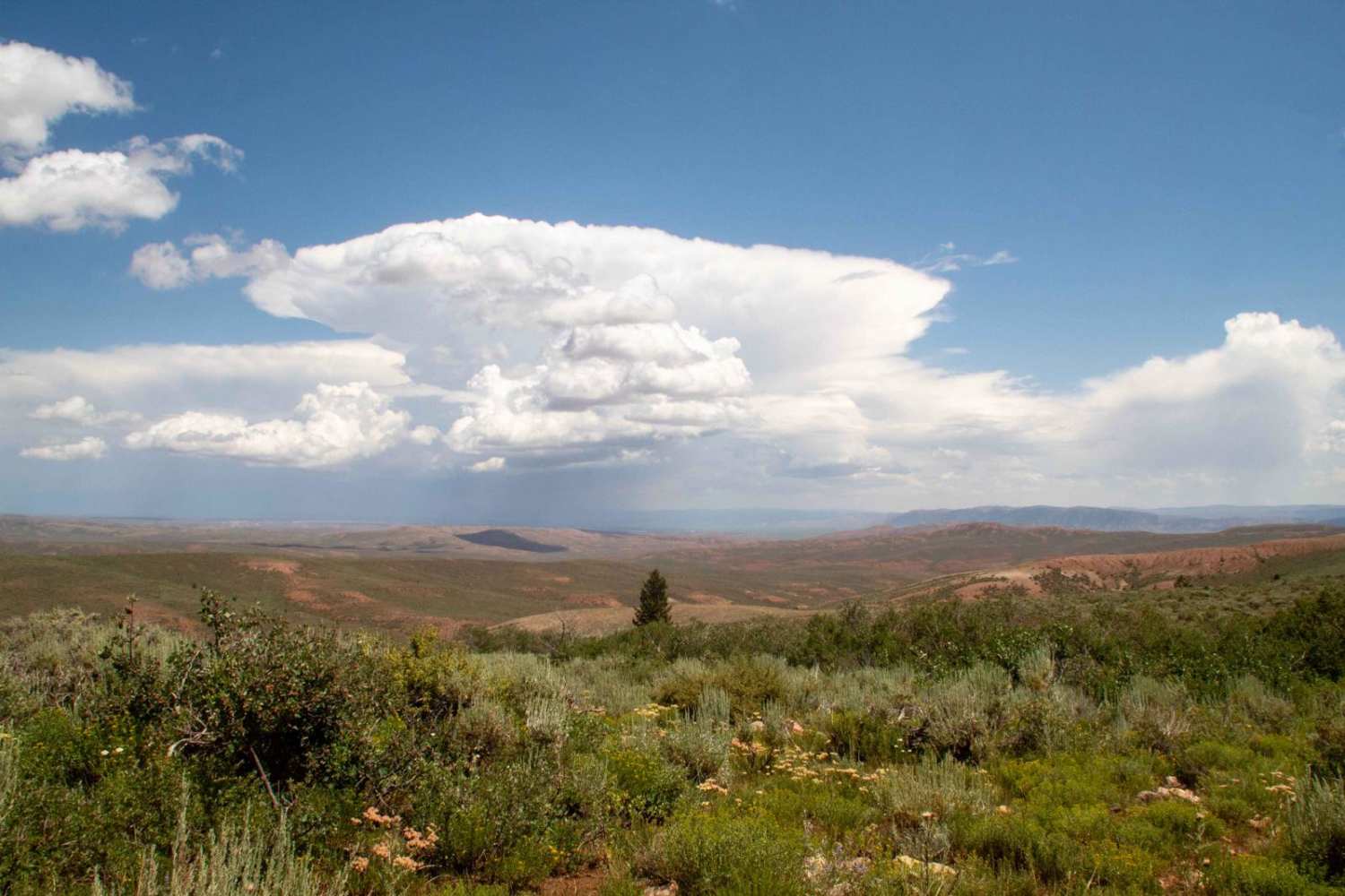
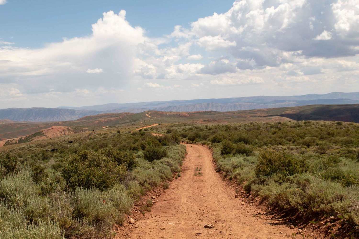
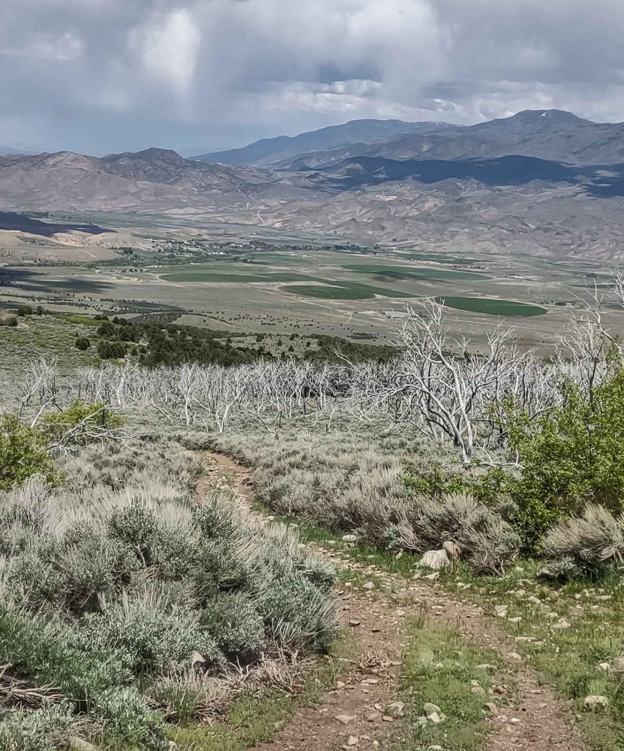
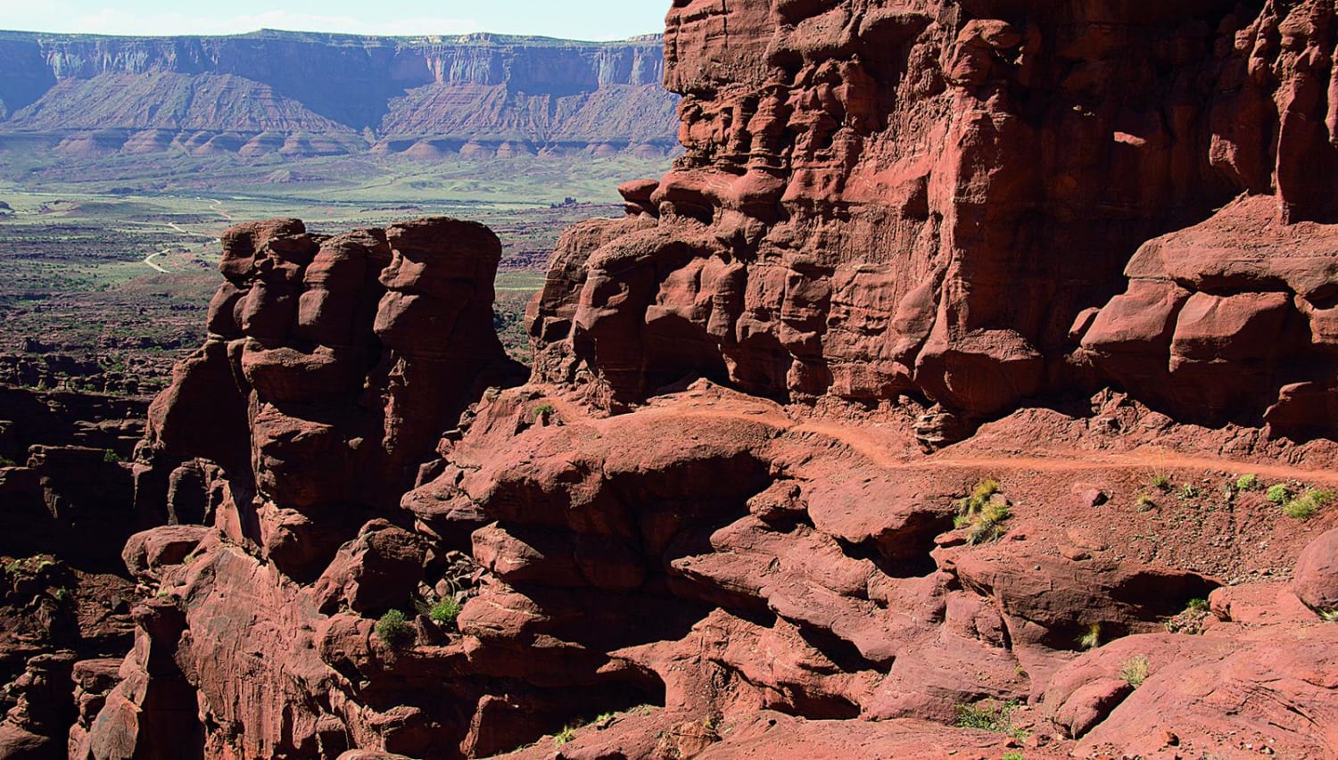
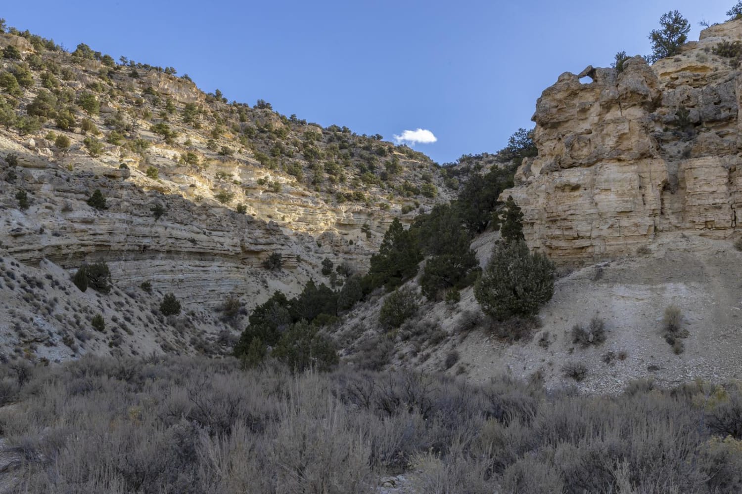
This trail runs between Highway 39 and the end of Millie Springs Road by following Lewis Ridge. As the trail follows the ridge, it has sweeping views of the surrounding landscape, and in some sections, you can see down into Randolph and Woodruff. This trail is well maintained but can have muddy conditions depending on rain/snow, and while being open year-round, will be impassable during the winter due to deep snow on the west end of the trail, along with leading you above the winter gate for Highway 39. This trail can be made into a loop by connecting to Millie Springs Road and following it back down to Highway 39. There are a handful of gates along this road that you will need to be sure you close behind you as you pass through.
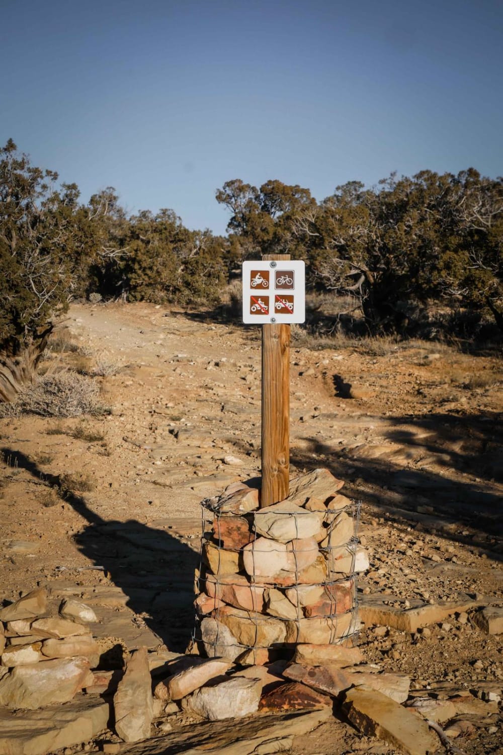
Photos of Lewis Ridge Road
Difficulty
Unmaintained after rain or snow, and depending on when the road was last graded, it could have sections washed out from the rain.
Status Reports
Lewis Ridge Road can be accessed by the following ride types:
- High-Clearance 4x4
- SUV
- SxS (60")
- ATV (50")
- Dirt Bike
Lewis Ridge Road Map
Popular Trails
Cottonwood Road - Bullion Canyon Interconnect
Overlook Trail Part 1
Onion Creek, Fisher Towers
Soldier Canyon Road
The onX Offroad Difference
onX Offroad combines trail photos, descriptions, difficulty ratings, width restrictions, seasonality, and more in a user-friendly interface. Available on all devices, with offline access and full compatibility with CarPlay and Android Auto. Discover what you’re missing today!