Adams McGill Reservoir Loop Part 2
Total Miles
4.8
Technical Rating
Best Time
Spring, Fall, Summer
Trail Type
Full-Width Road
Accessible By
Trail Overview
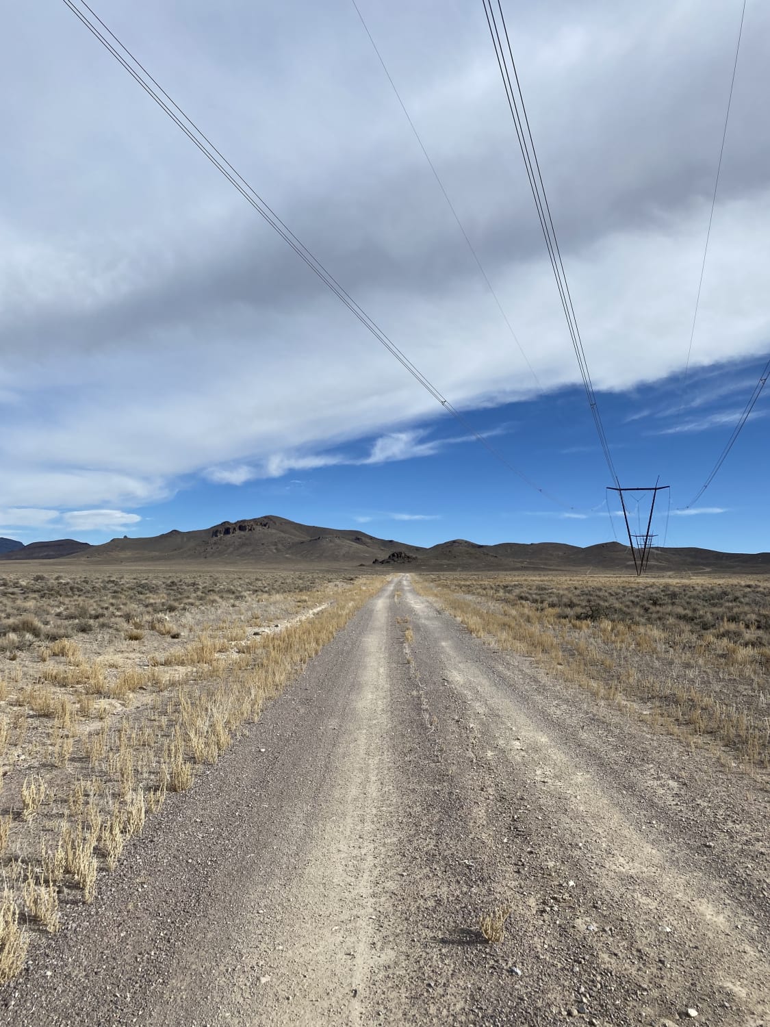
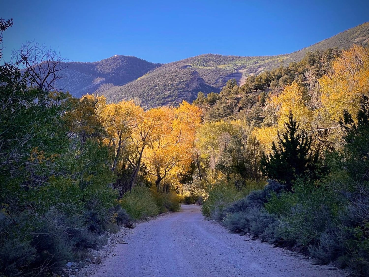
This section of trail picks up at the bottom of the Tule Fields Reservoir, where the wildlife management area ends, and the BLM land begins. The trail is not as well maintained. There are many ruts and potholes and eventually some sections of sand. More wetlands can be seen as well as a cow pasture. At the turn is a cattle coral and metal windmill. This section of the loop also passes under some large V-shaped power lines that are architecturally interesting as power lines go. The views are pretty of the surrounding valley and mountains. Connect this with parts 1 and 3 of the Adam McGill Resourvoir scenic trails to make a loop back to the 318 highway.
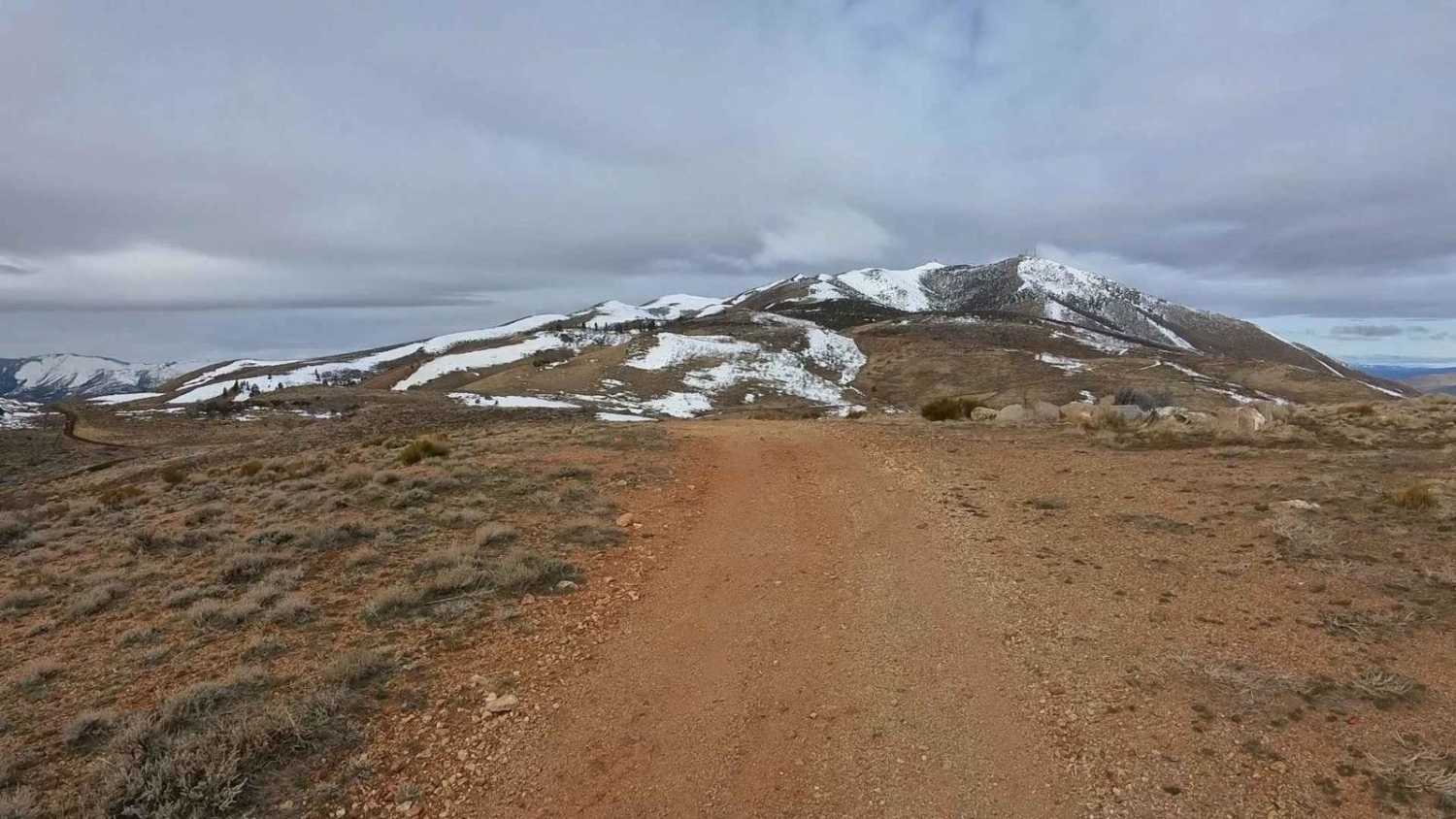
Photos of Adams McGill Reservoir Loop Part 2

Difficulty
Sandy and rutted sections could be difficult for more stock vehicles but not impassable.
Status Reports
Adams McGill Reservoir Loop Part 2 can be accessed by the following ride types:
- High-Clearance 4x4
- SUV
- SxS (60")
- ATV (50")
- Dirt Bike
Adams McGill Reservoir Loop Part 2 Map
Popular Trails
South Gallagher ATV Trail
Spring Valley Loop
Snake Creek Road
The onX Offroad Difference
onX Offroad combines trail photos, descriptions, difficulty ratings, width restrictions, seasonality, and more in a user-friendly interface. Available on all devices, with offline access and full compatibility with CarPlay and Android Auto. Discover what you’re missing today!