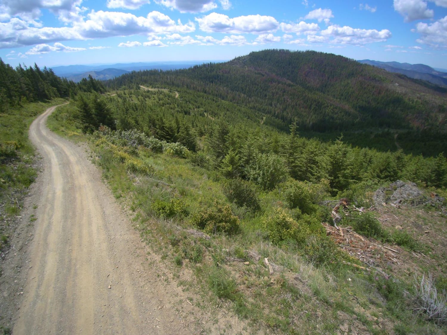
Stensgar Mountain
Total Miles
56.1
Technical Rating
Best Time
Trail Type
Full-Width Road
Accessible By
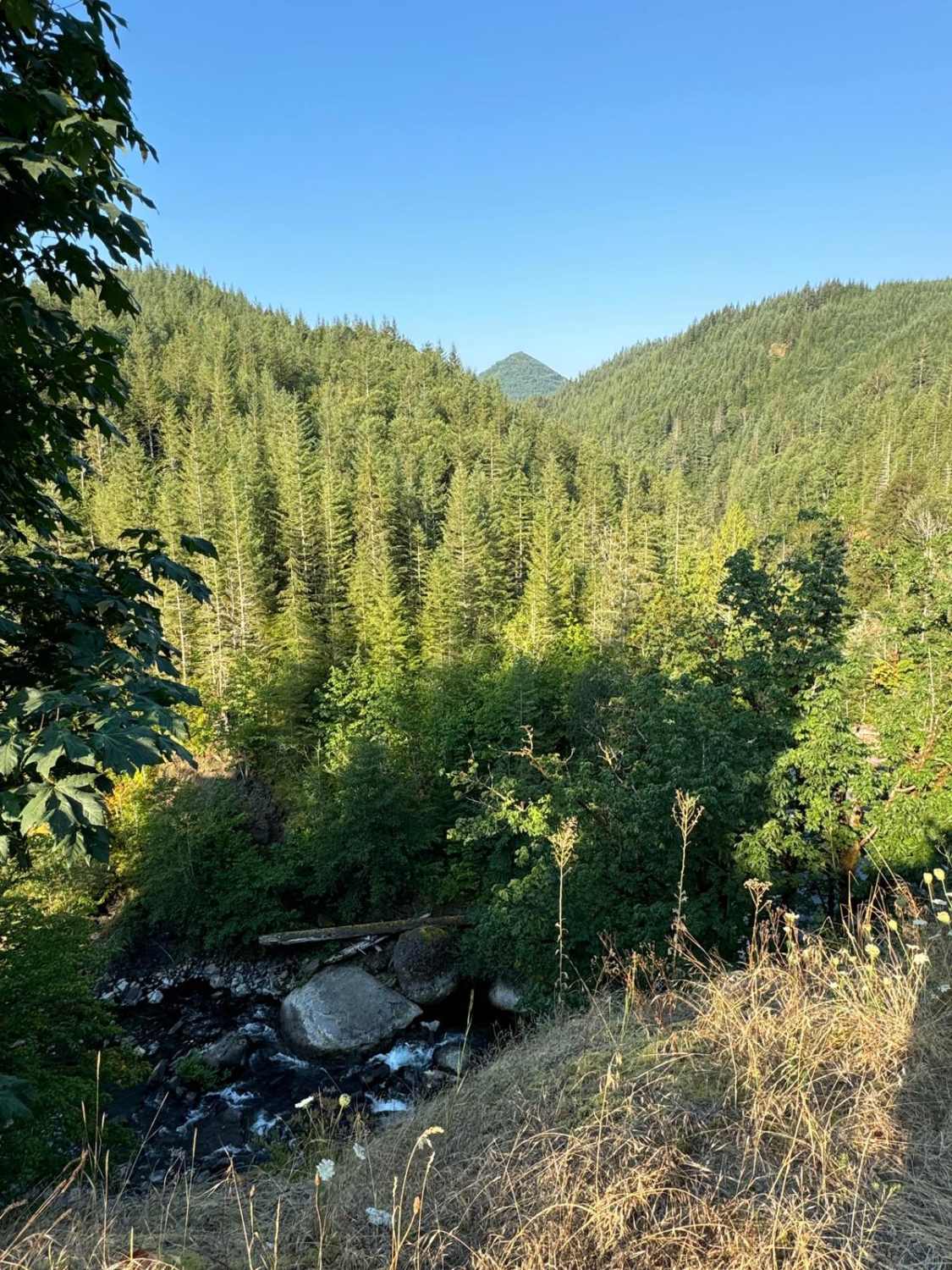
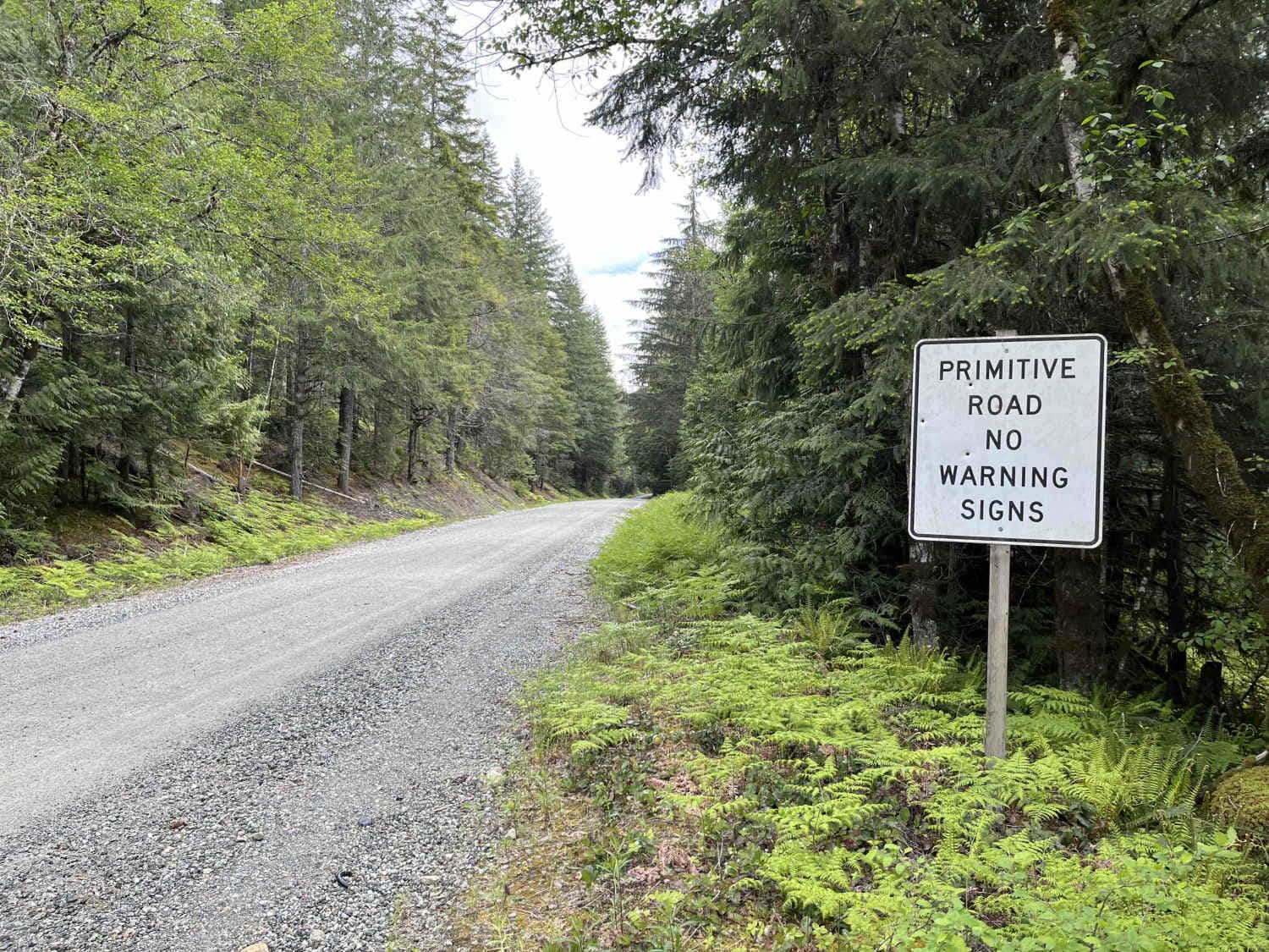
Trail Overview
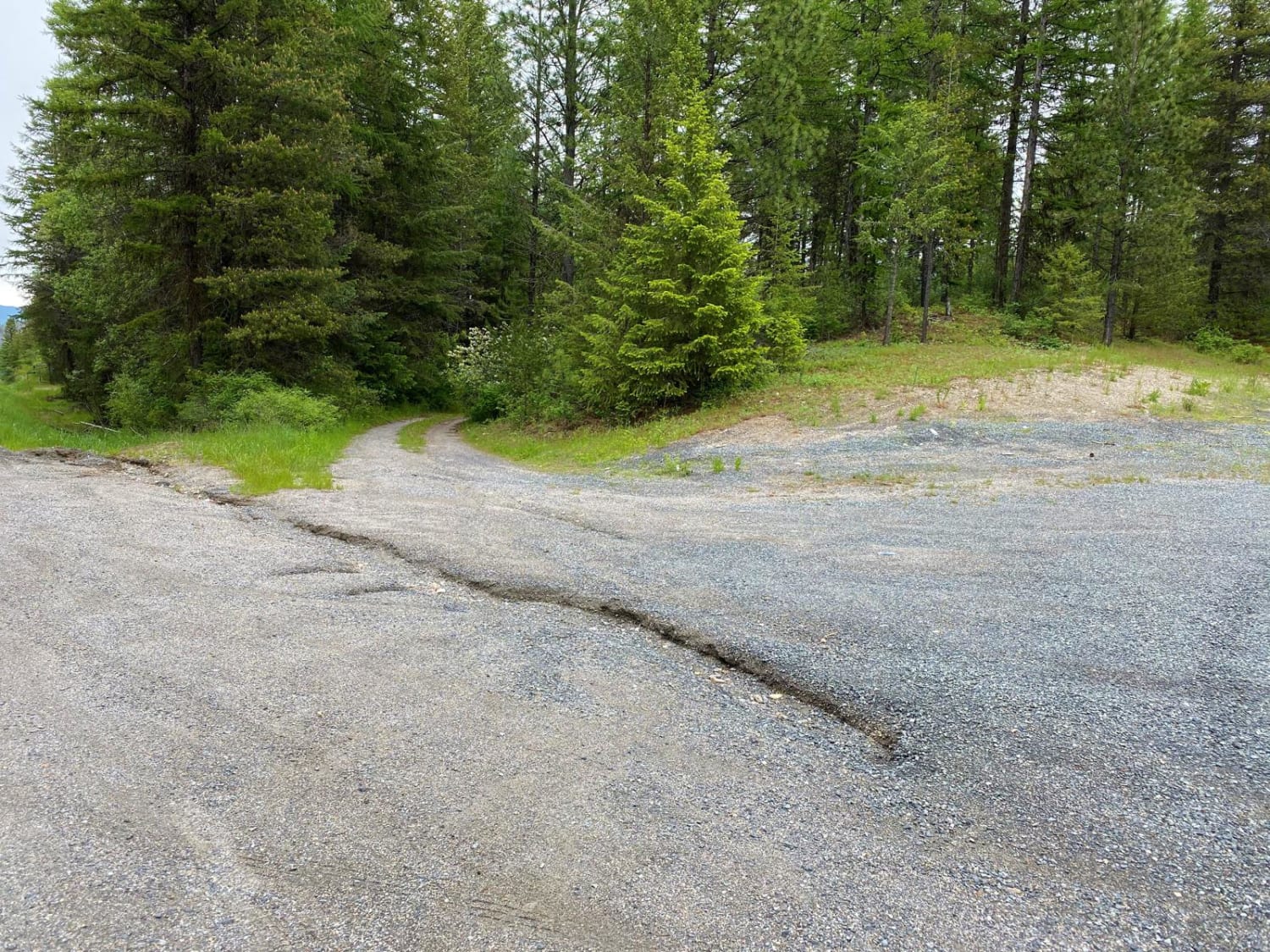
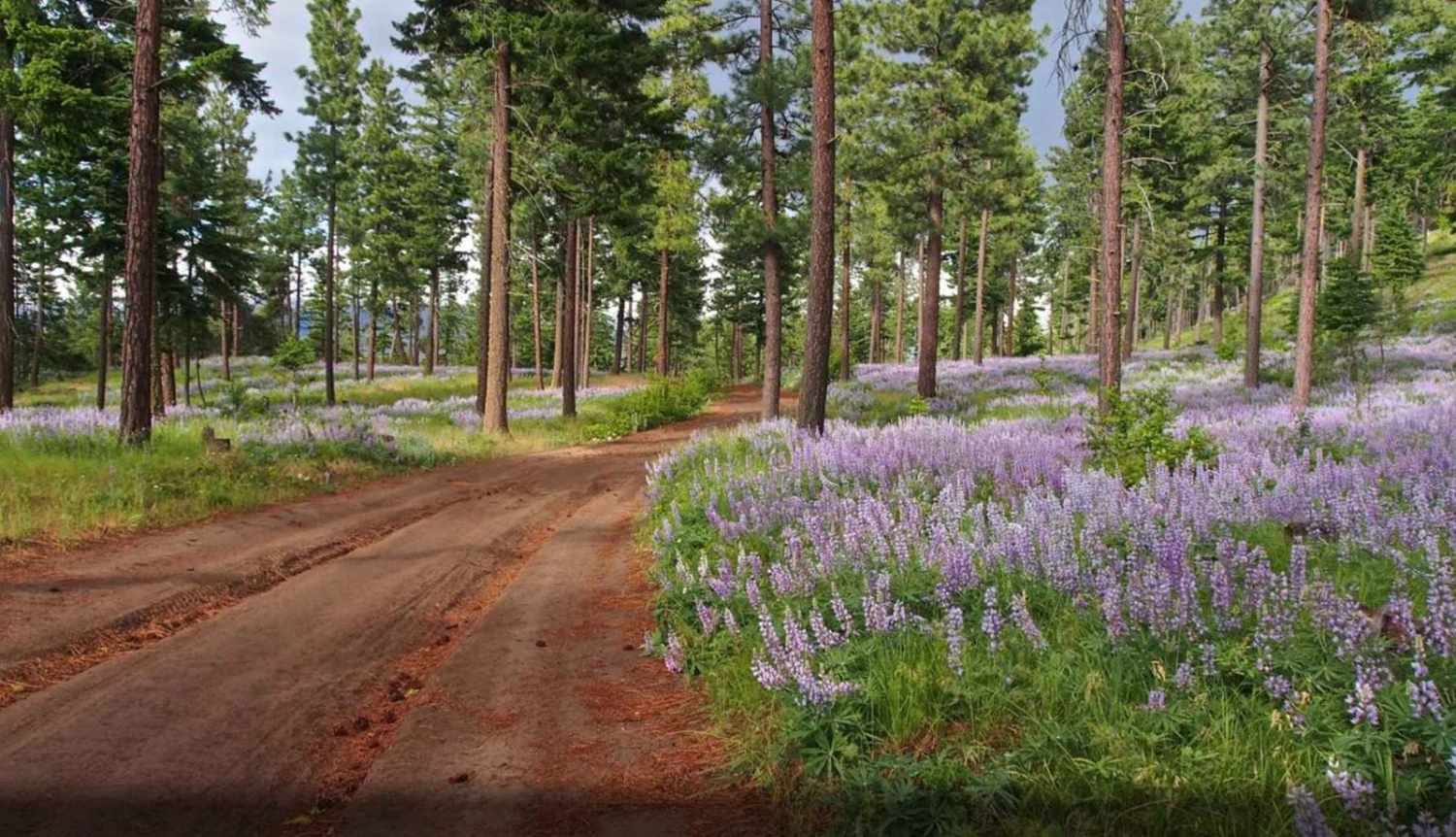
This is an excursion type ride, involving all road types from paved county roads, to the primitive sections of road leading to Stensgar Mountain. From the three communities, you will be on paved county roads, requiring licensed vehicles. In Stevens County, this requirement is met with having an off-road designated license on your OHV. Drivers must be licensed. The county roads eventually become gravel, and once in the mountains, degrade further into two-track, rocky, and sometimes muddy roads. Snow lingers in the higher elevations, thus the May thru October time frames. The roads are not maintained in the winter, but snow track vehicles will utilized the roads.
Photos of Stensgar Mountain
Stensgar Mountain can be accessed by the following ride types:
- High-Clearance 4x4
- SUV
- SxS (60")
- ATV (50")
- Dirt Bike
Stensgar Mountain Map
Popular Trails
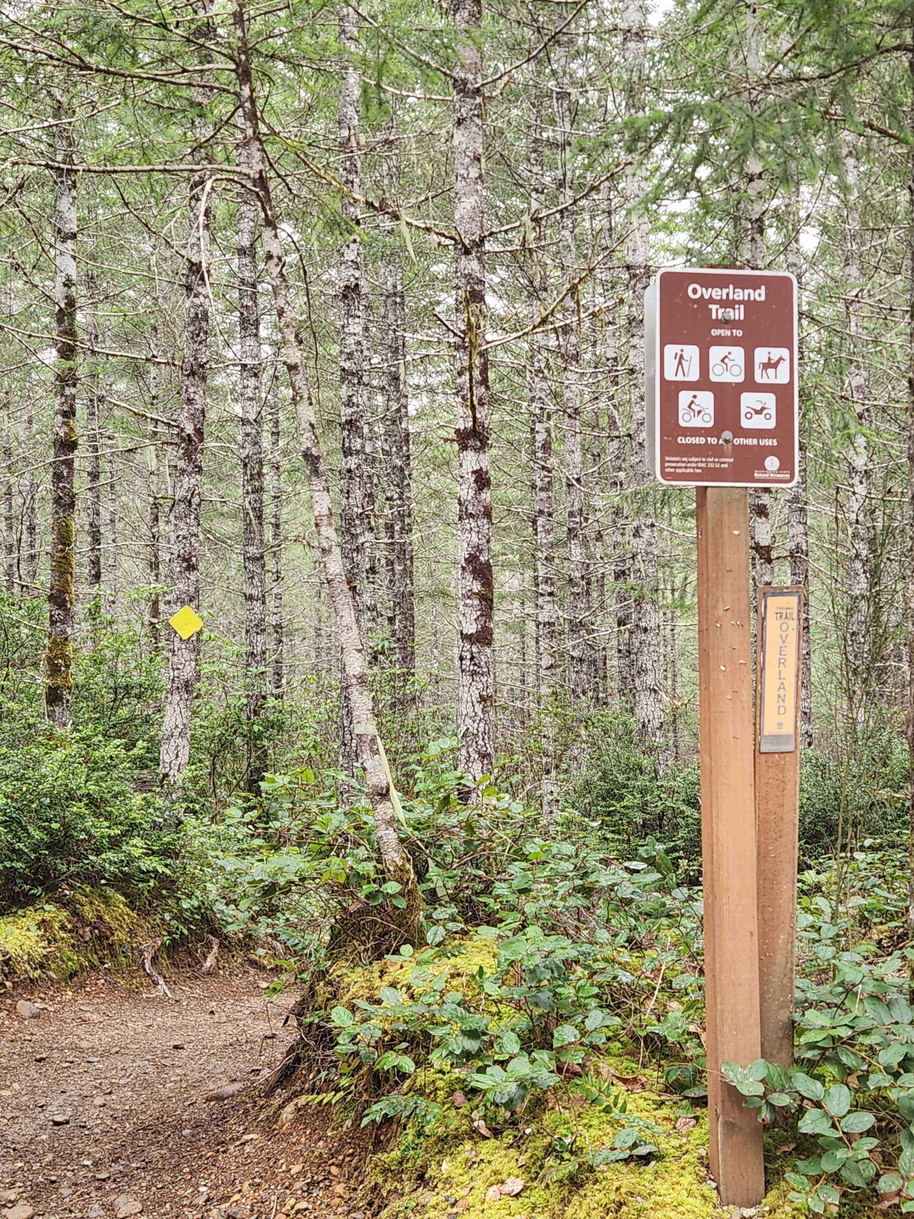
Overland Trail
Tamarack Ridge Road
Cascade River Road
The onX Offroad Difference
onX Offroad combines trail photos, descriptions, difficulty ratings, width restrictions, seasonality, and more in a user-friendly interface. Available on all devices, with offline access and full compatibility with CarPlay and Android Auto. Discover what you’re missing today!