Thompson Peak Lookout Tower
Total Miles
4.7
Technical Rating
Best Time
Summer, Fall
Trail Type
Full-Width Road
Accessible By
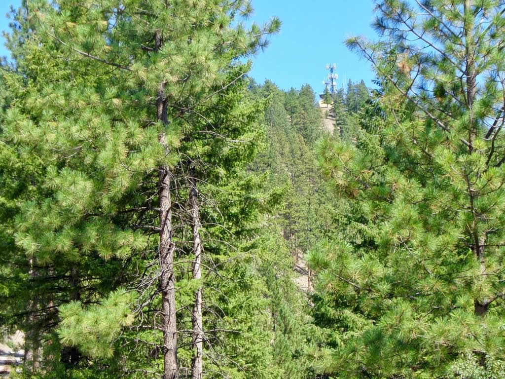
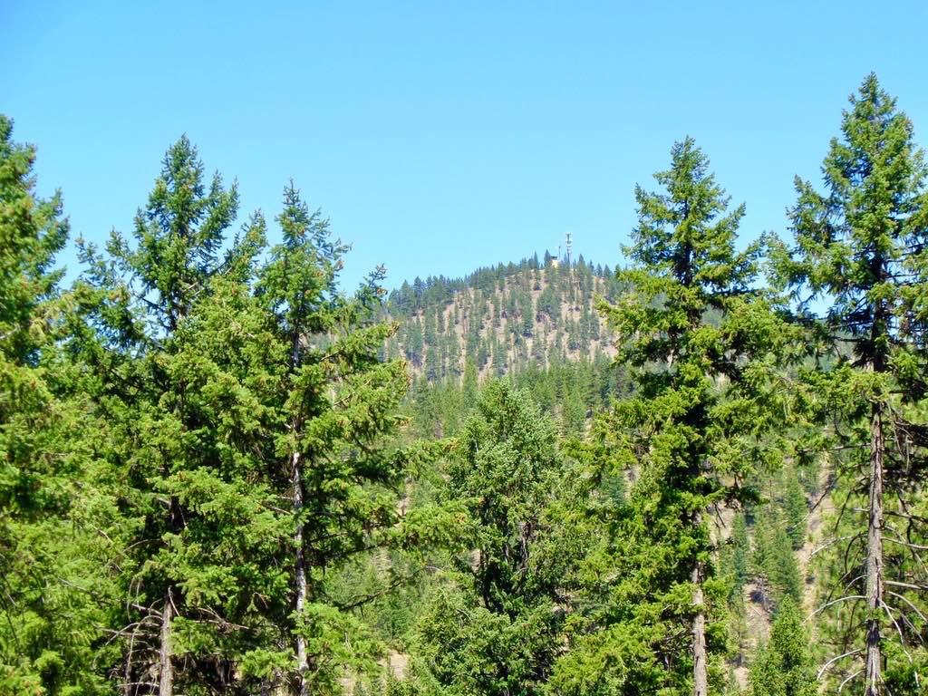
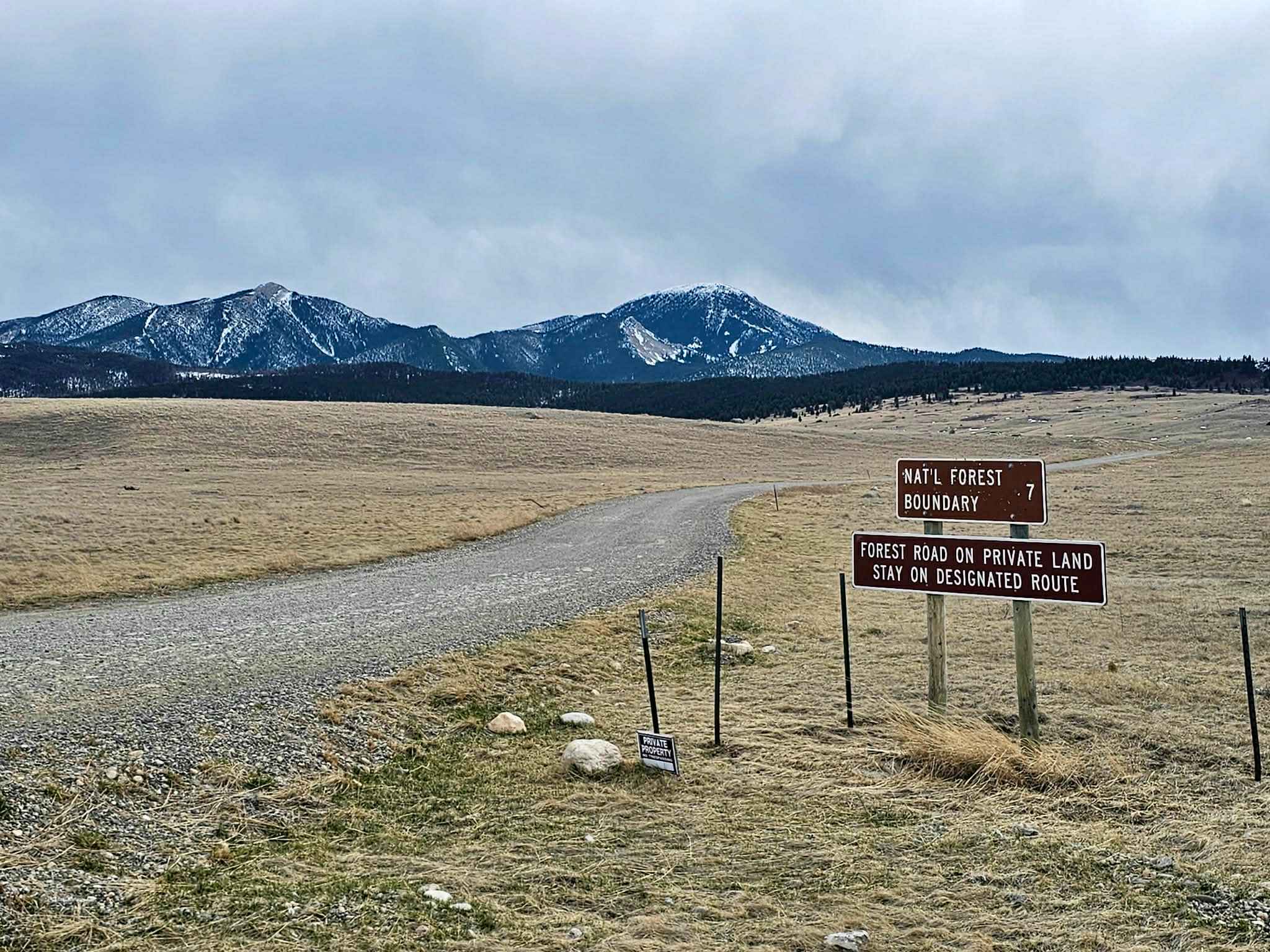
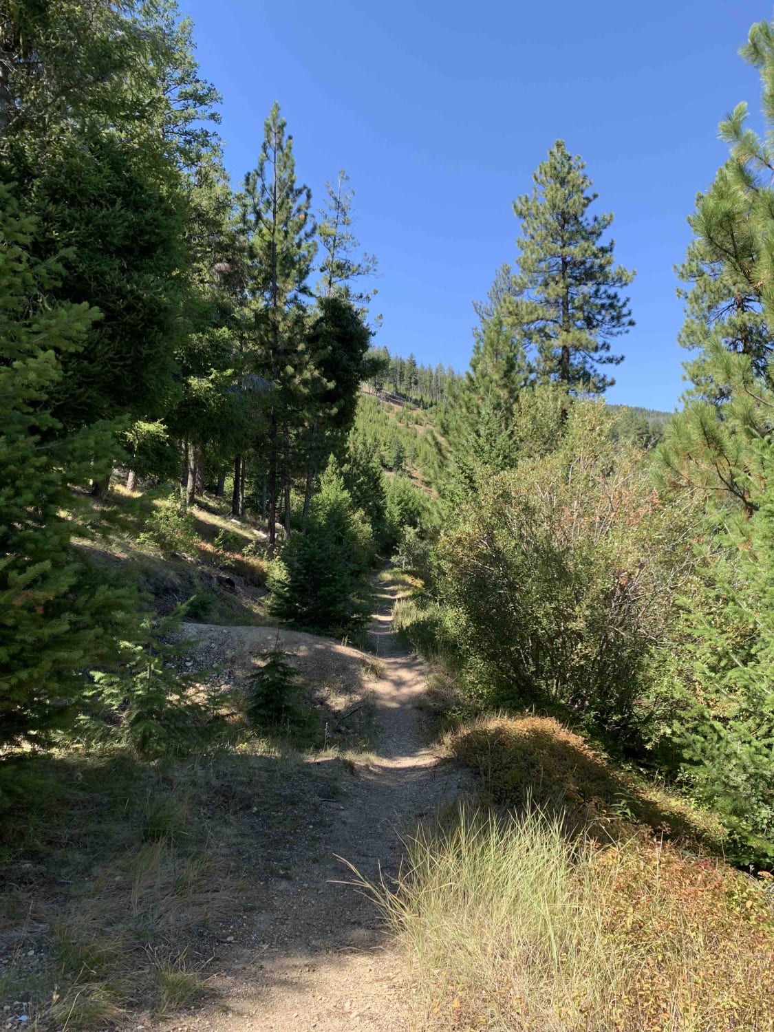
Trail Overview
The route is mostly a two-lane gravel road with some loose rock in place. The route is a very scenic climb from an elevation of 2900'-4100'. The route ends at a locked gate, which is a 1-mile hike to the Lookout Tower. Parking is available at the closed gate. The route can be dusty in dry weather.
Photos of Thompson Peak Lookout Tower
Difficulty
This is a very easy route to maneuver.
Status Reports
Thompson Peak Lookout Tower can be accessed by the following ride types:
- High-Clearance 4x4
- SUV
- SxS (60")
- ATV (50")
- Dirt Bike
Thompson Peak Lookout Tower Map
Popular Trails

Little Joe Road

Columbia Mountain Loop
Livingston Peak Road
Cow Creek Road and Shiefman Hiking Trail
The onX Offroad Difference
onX Offroad combines trail photos, descriptions, difficulty ratings, width restrictions, seasonality, and more in a user-friendly interface. Available on all devices, with offline access and full compatibility with CarPlay and Android Auto. Discover what you’re missing today!