High Mountain Meadows
Total Miles
4.1
Technical Rating
Best Time
Summer, Spring, Fall
Trail Type
High-Clearance 4x4 Trail
Accessible By
Trail Overview
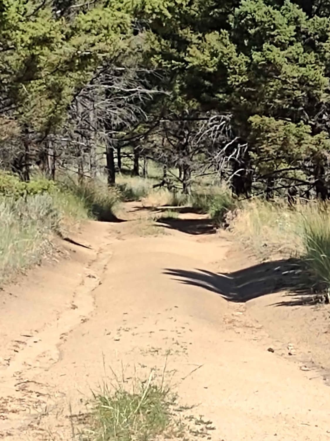
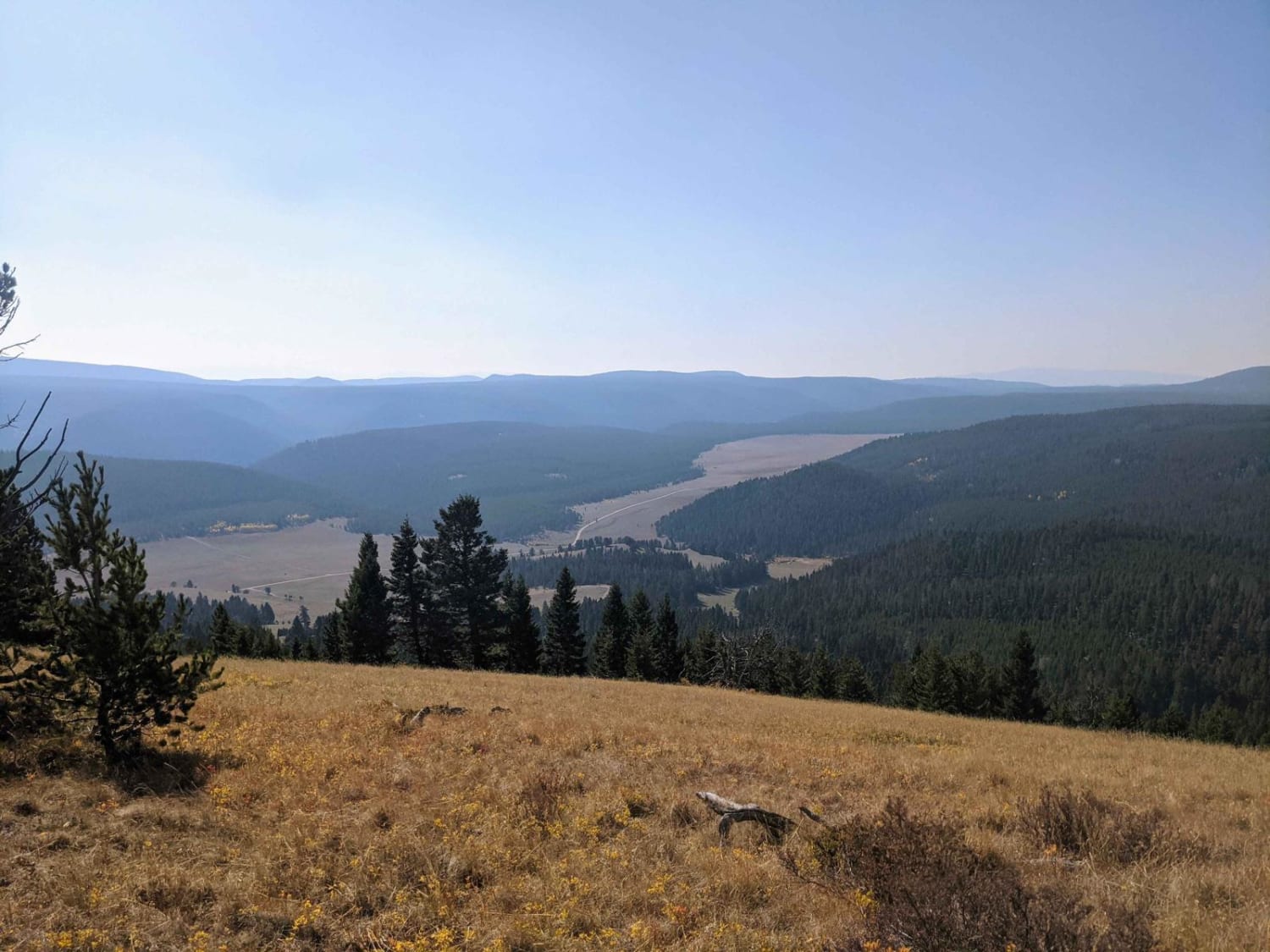
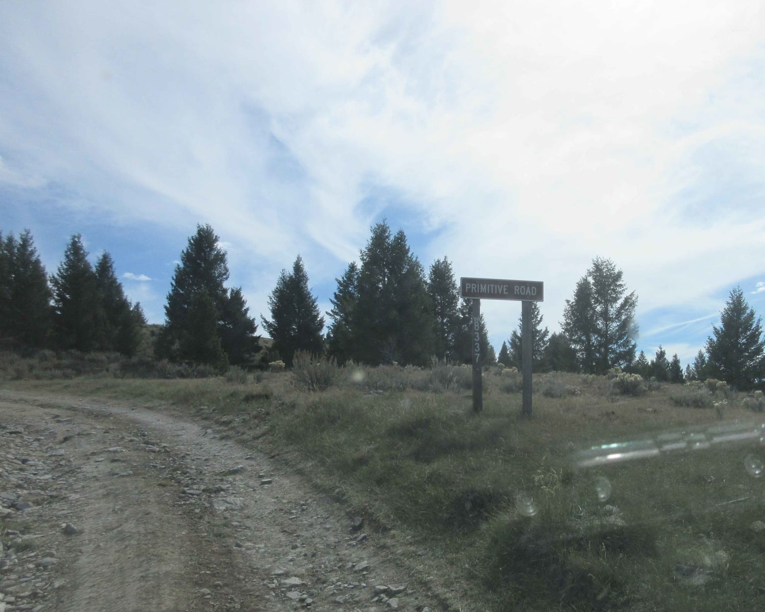
This is an easy 4-mile trail at just over 6,000 feet, crossing high mountain meadows and forests. A 75-inch SXS fits easily. It's beautiful scenery with lots of potential for wildlife. This trail loops back to the left branch of the Bigfoot Creek to Hay Creek Trail. There are great areas for tent camping and picnics.
Photos of High Mountain Meadows
Difficulty
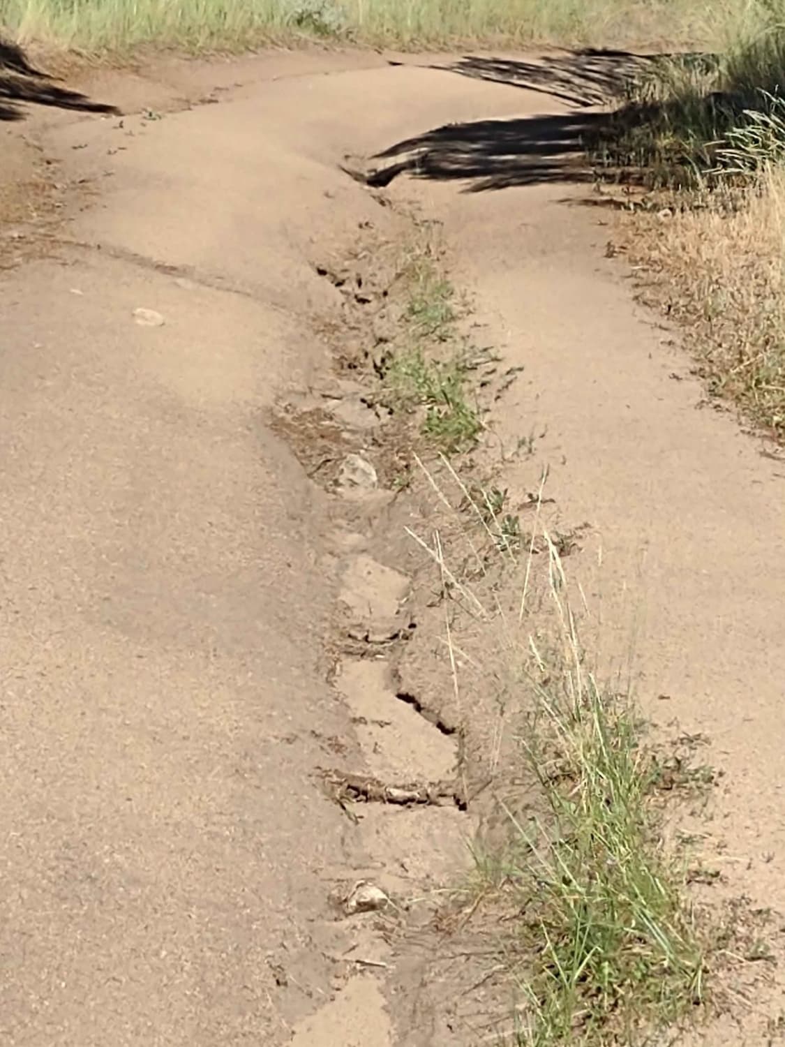
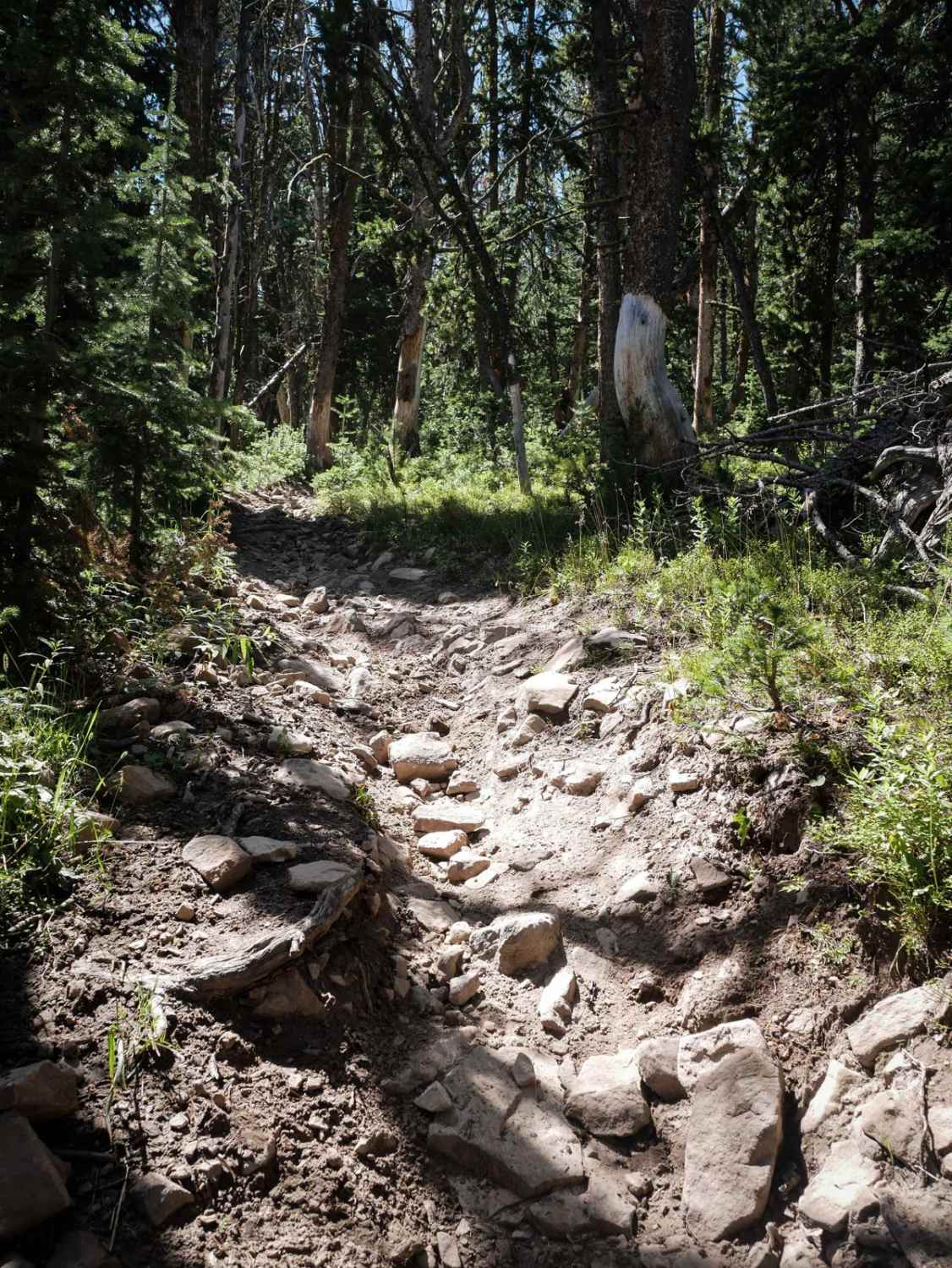
There are some areas of erosion and some wash-outs, but they're not very deep. The inclines aren't very steep, and the rocks aren't too big. There is one water crossing, and in July it's pretty low. It could definitely be deeper in the earlier spring or summer.
Status Reports
High Mountain Meadows can be accessed by the following ride types:
- High-Clearance 4x4
- SxS (60")
- ATV (50")
- Dirt Bike
High Mountain Meadows Map
Popular Trails

Bass Overlook Trail
Cottonwood Creek - FS8337
The onX Offroad Difference
onX Offroad combines trail photos, descriptions, difficulty ratings, width restrictions, seasonality, and more in a user-friendly interface. Available on all devices, with offline access and full compatibility with CarPlay and Android Auto. Discover what you’re missing today!