Reynolds Creek Tie - C1201
Total Miles
4.2
Technical Rating
Best Time
Spring, Summer, Fall
Trail Type
Full-Width Road
Accessible By
Trail Overview
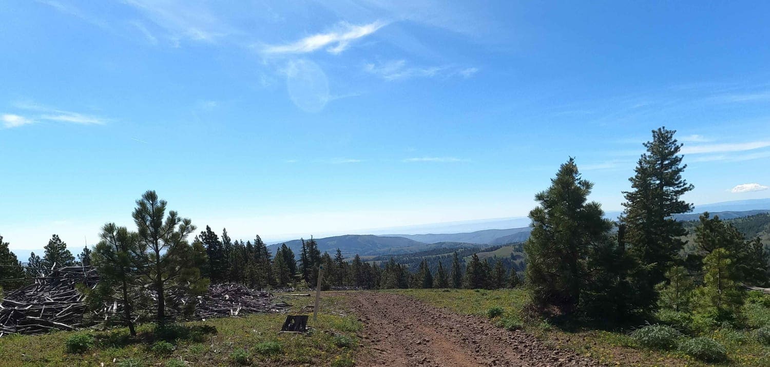
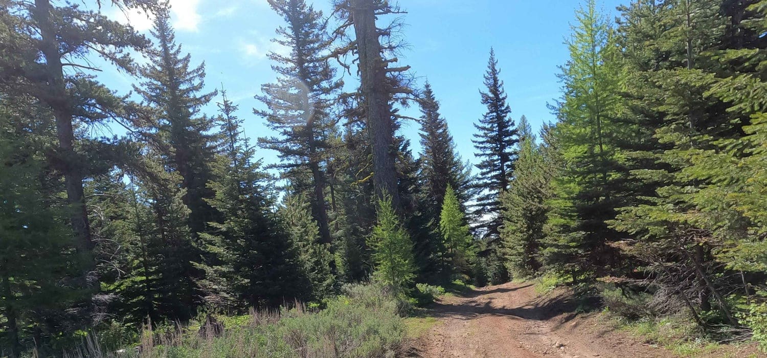
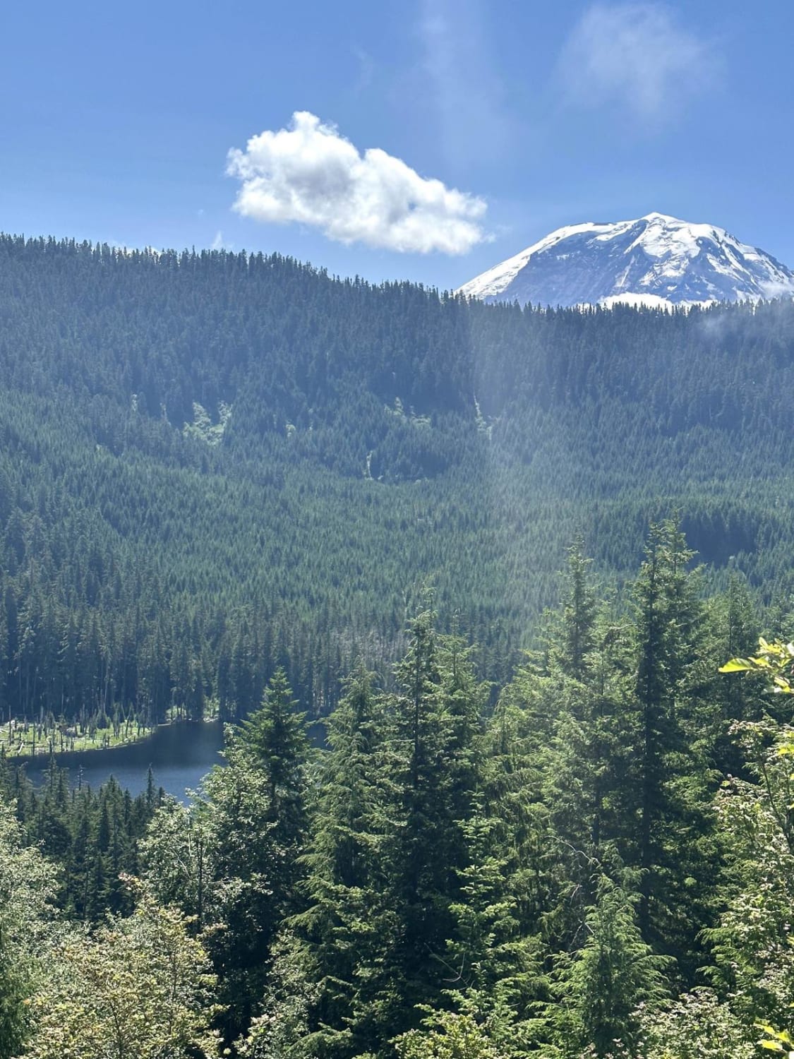
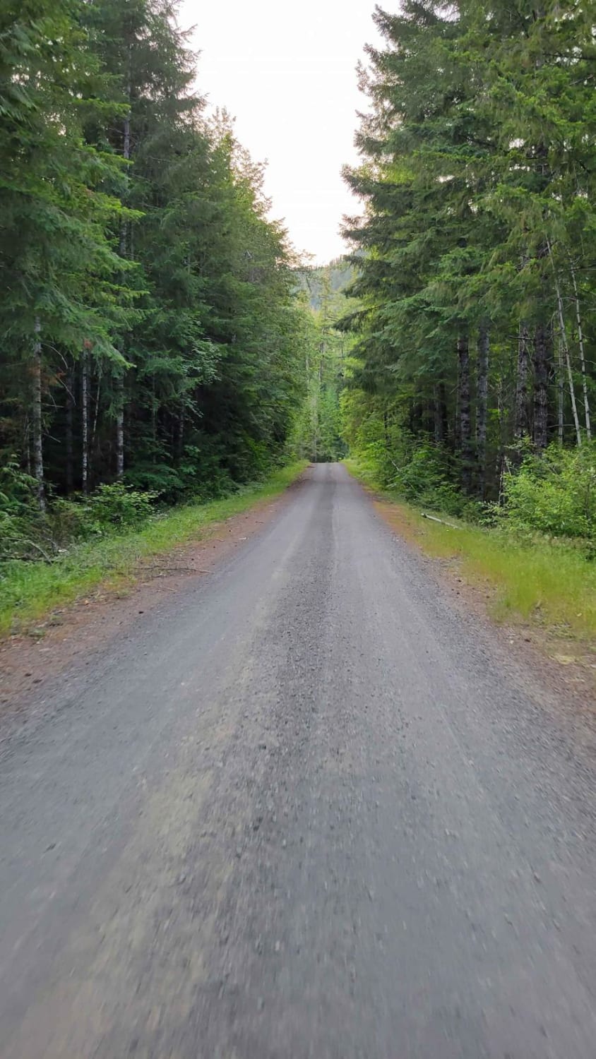
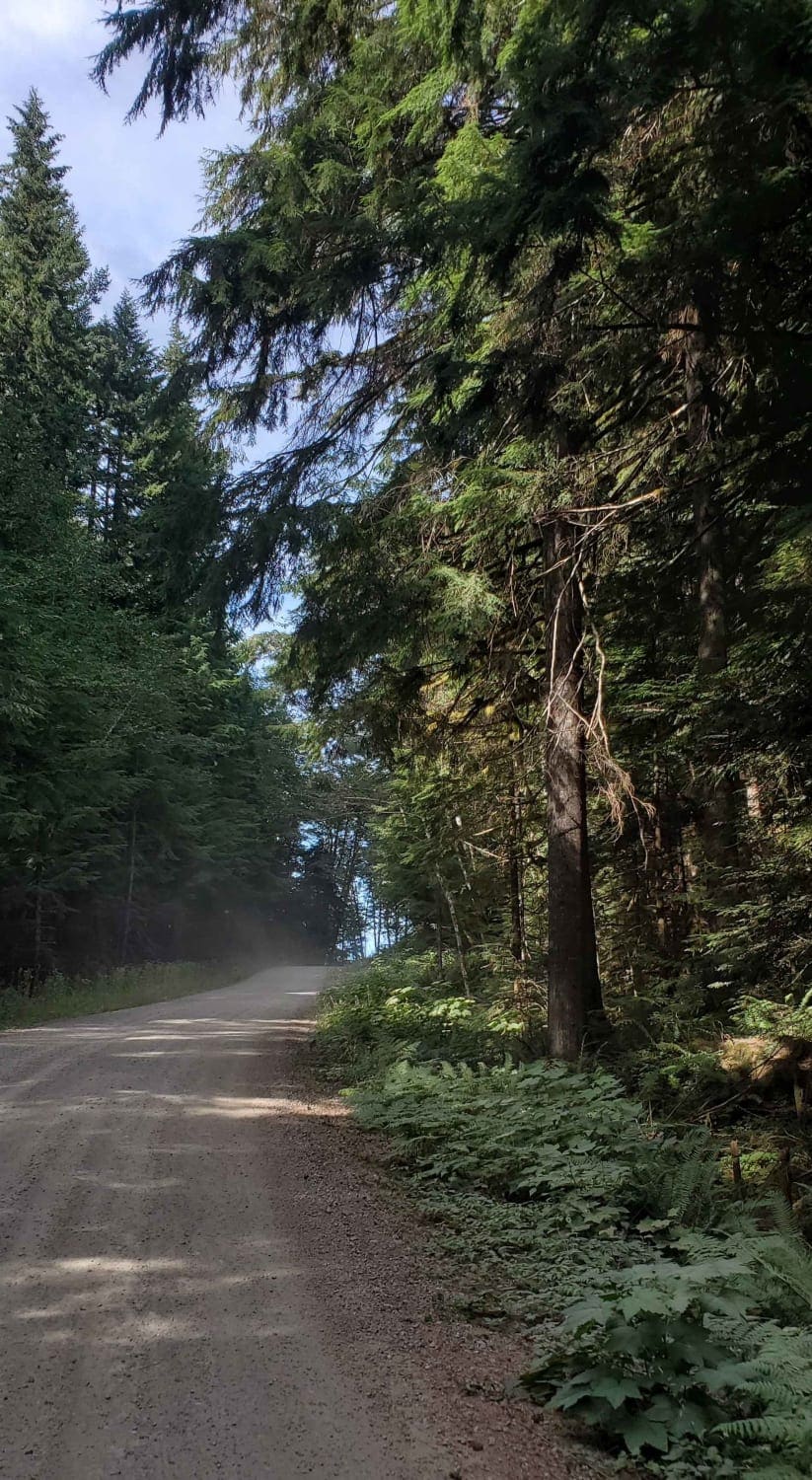
Reynolds Creek Tie is a 4.5-mile forest service road that drops down from 5,400' at Divide Ridge to 3,400' at Reynolds Creek Road and then follows the creek down into Cowiche, Washington. It is semi-maintained and rocky in places. This road is snowbound until mid-May to early June.
Photos of Reynolds Creek Tie - C1201
Difficulty
rocky forest service road
Status Reports
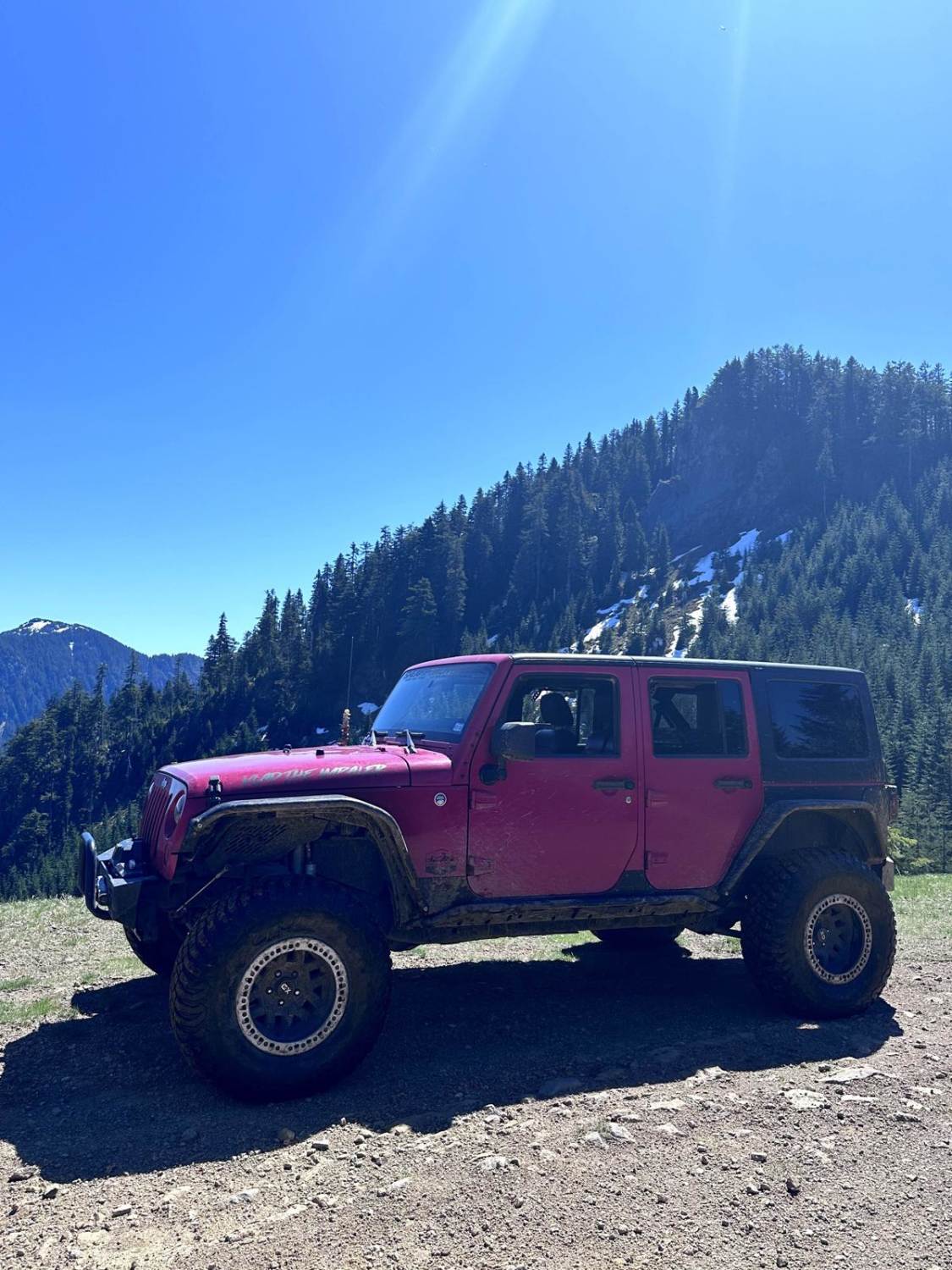
Reynolds Creek Tie - C1201 can be accessed by the following ride types:
- High-Clearance 4x4
- SUV
Reynolds Creek Tie - C1201 Map
Popular Trails
Summit Lake Trailhead
The onX Offroad Difference
onX Offroad combines trail photos, descriptions, difficulty ratings, width restrictions, seasonality, and more in a user-friendly interface. Available on all devices, with offline access and full compatibility with CarPlay and Android Auto. Discover what you’re missing today!