BLM 6195
Total Miles
2.1
Technical Rating
Best Time
Spring, Summer, Fall
Trail Type
Full-Width Road
Accessible By
Trail Overview
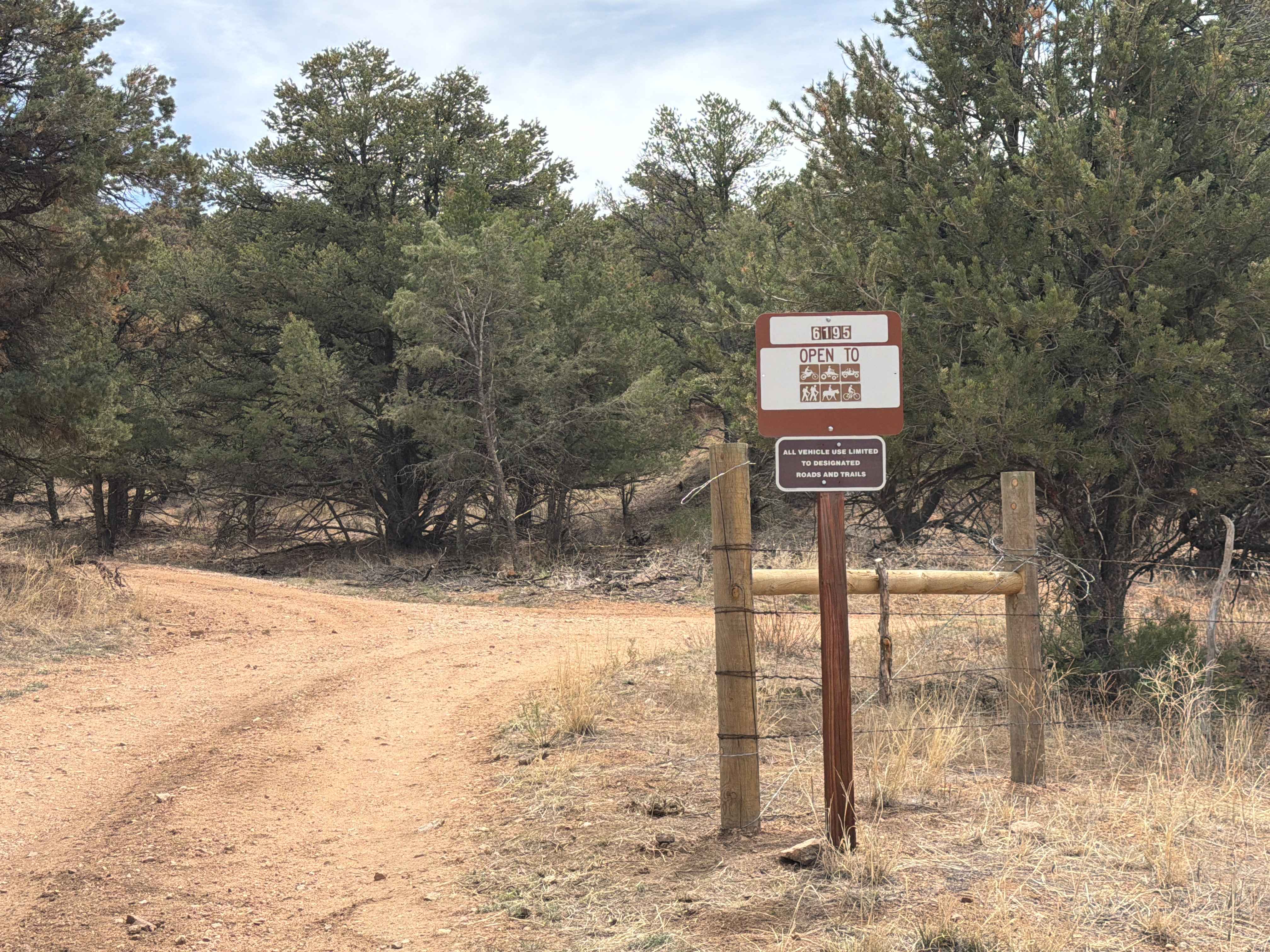
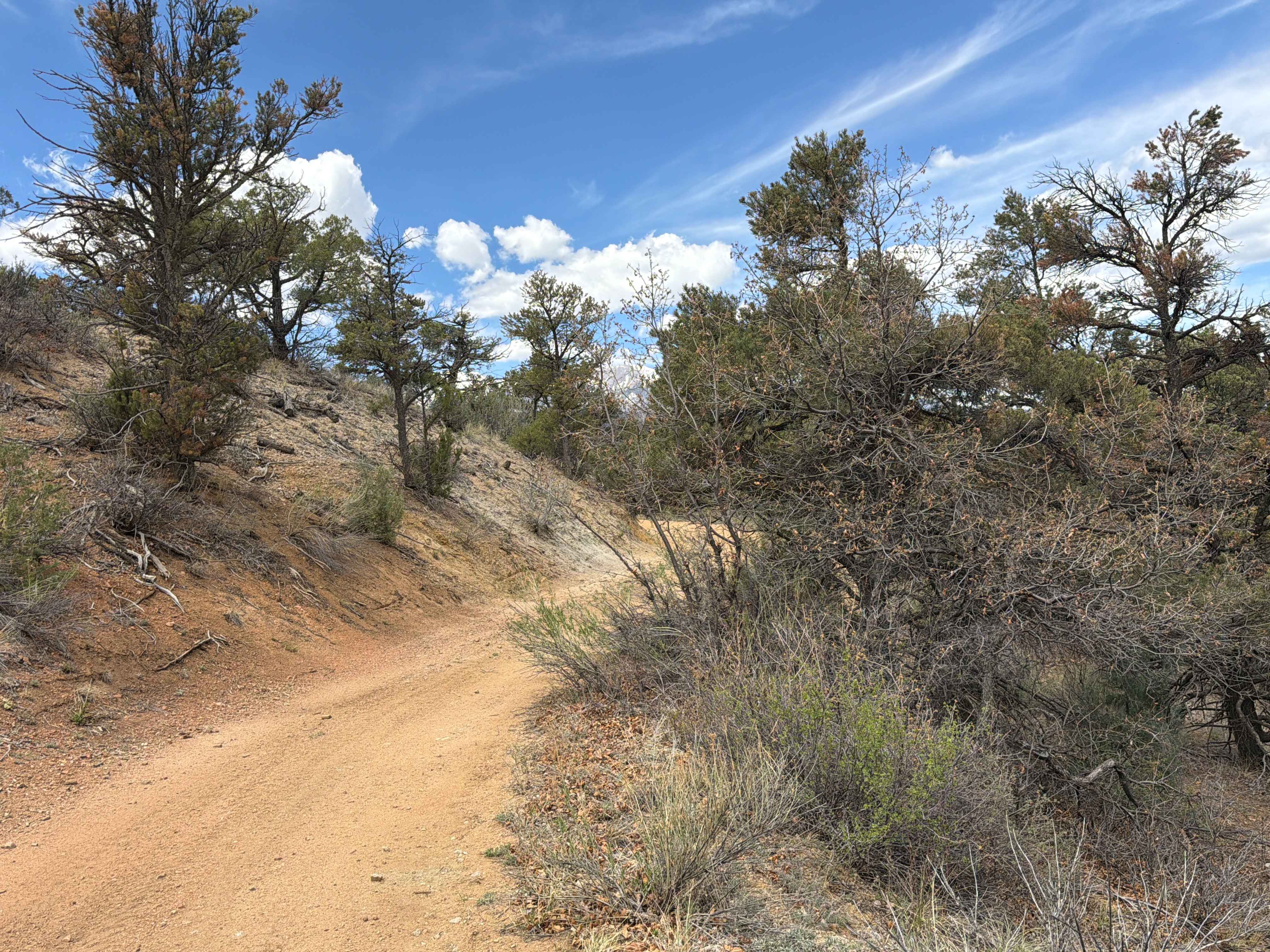
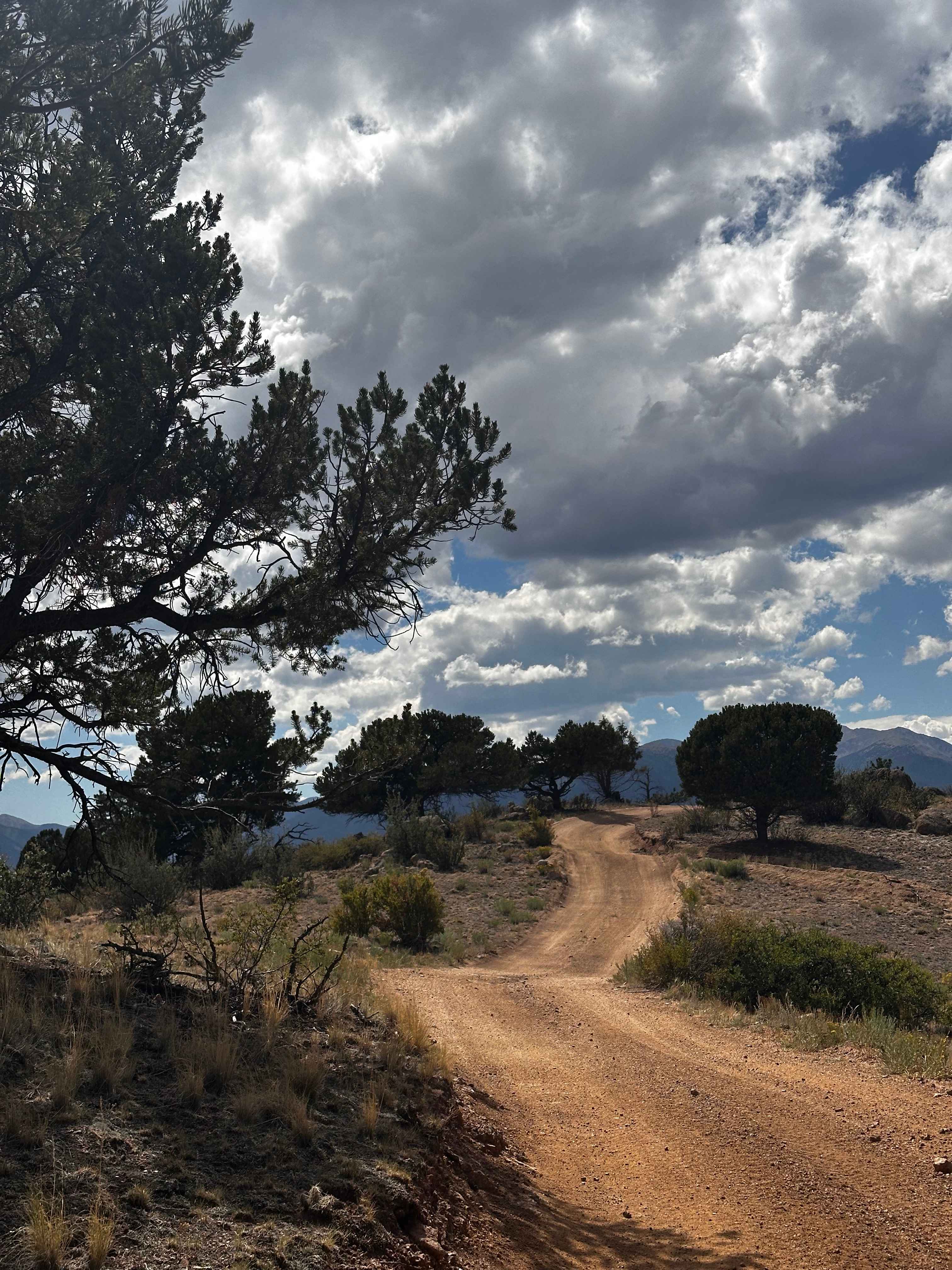
Easy-to-moderate, out-and-back dirt trail located off of U.S. Highway 50 outside the town of Coaldale, Colorado. This route travels through rugged terrain featuring rocky sections, mild technical obstacles, and a variety of dispersed camping opportunities along the way. Drivers are rewarded with expansive mountain views, peaceful surroundings, and a remote backcountry atmosphere that makes the trail ideal for a relaxing day of exploration or an overnight camping trip.
Photos of BLM 6195
Difficulty
Easy-to-moderate, out-and-back dirt trail that provides ruts, rocky obstacles, and sandy areas.
Status Reports
BLM 6195 can be accessed by the following ride types:
- High-Clearance 4x4
- SUV
- ATV (50")
- Dirt Bike
BLM 6195 Map
Popular Trails
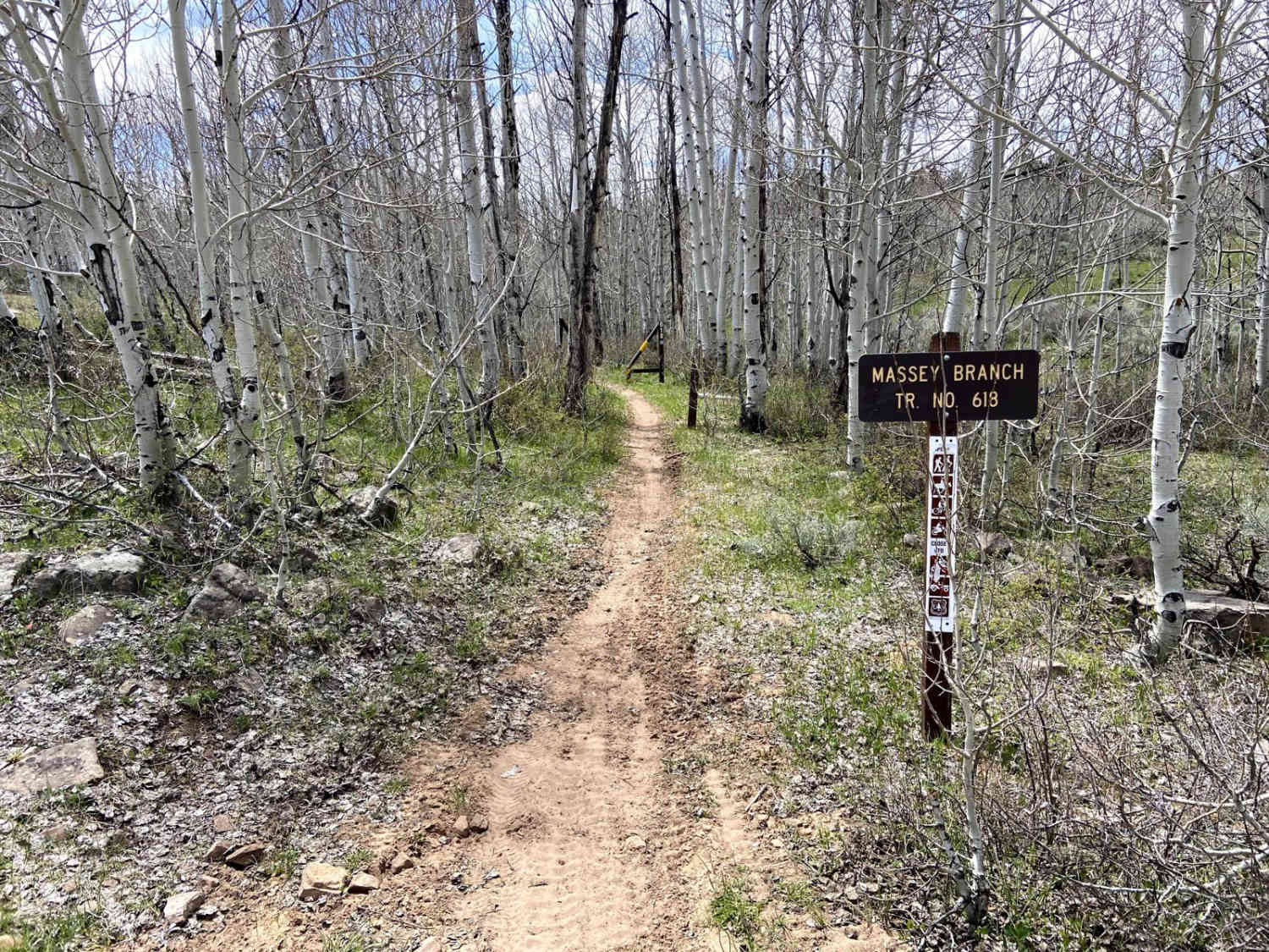
Massey Branch Trail

Burns Gulch Road
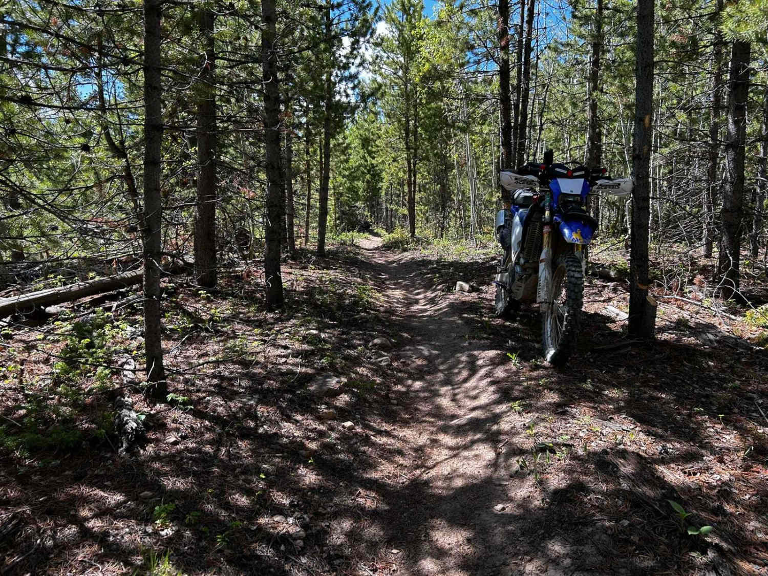
Synder Creek Loop Northwest
Forest Service Road 376B
The onX Offroad Difference
onX Offroad combines trail photos, descriptions, difficulty ratings, width restrictions, seasonality, and more in a user-friendly interface. Available on all devices, with offline access and full compatibility with CarPlay and Android Auto. Discover what you’re missing today!