Catt Creek
Total Miles
15.8
Technical Rating
Best Time
Spring, Summer, Fall
Trail Type
Full-Width Road
Accessible By
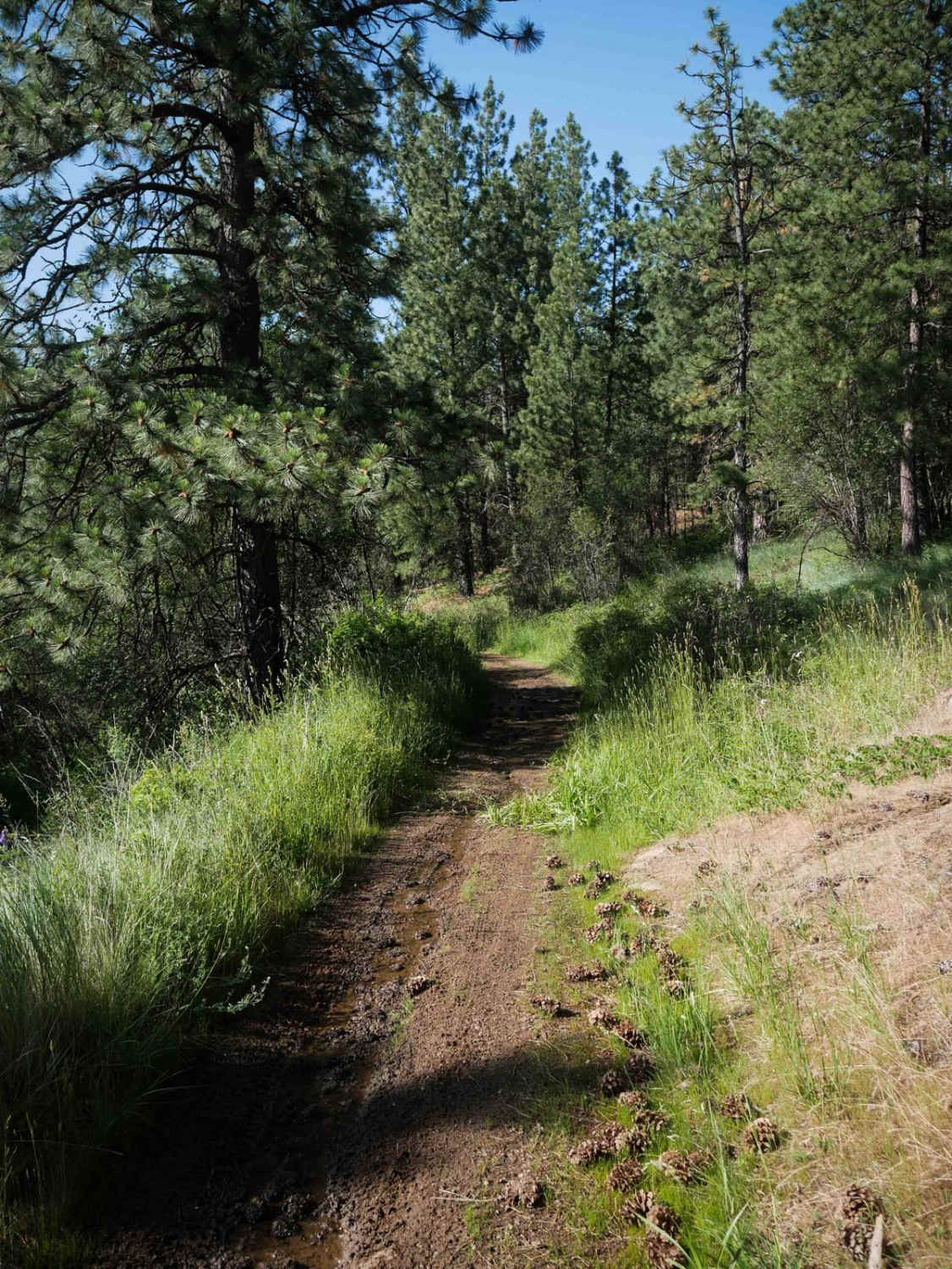
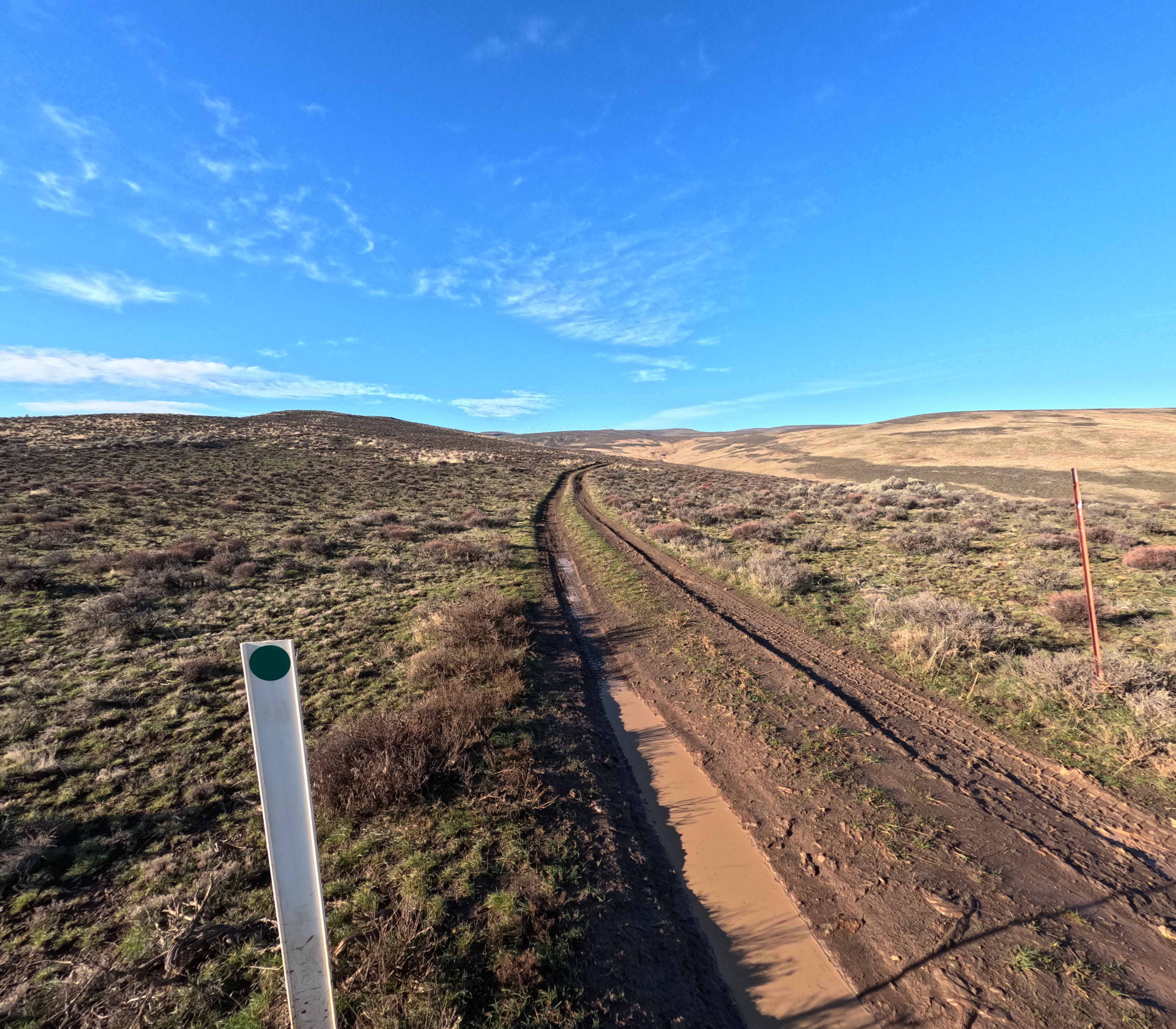
Trail Overview
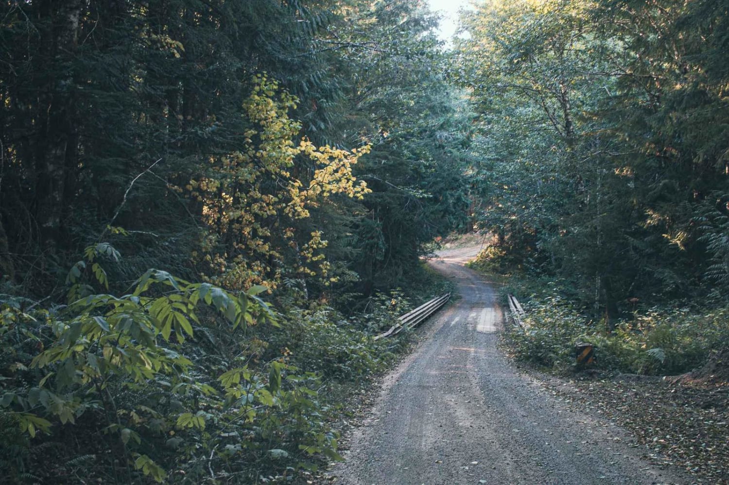
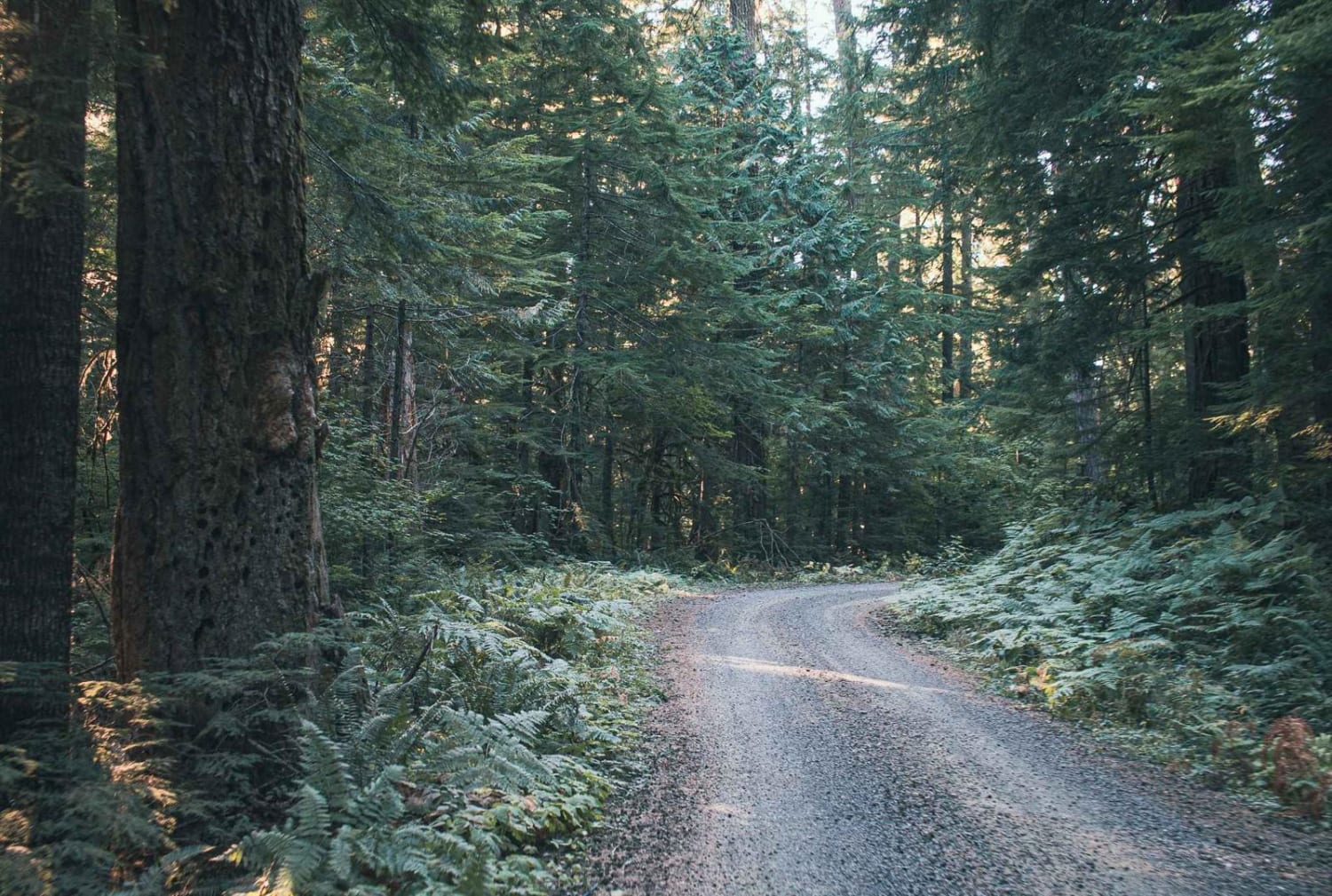
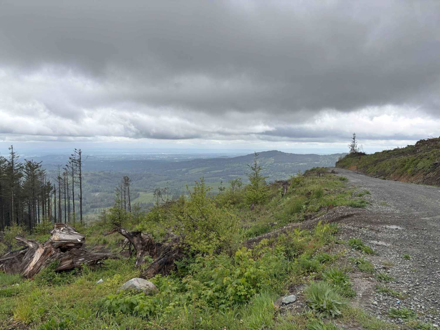
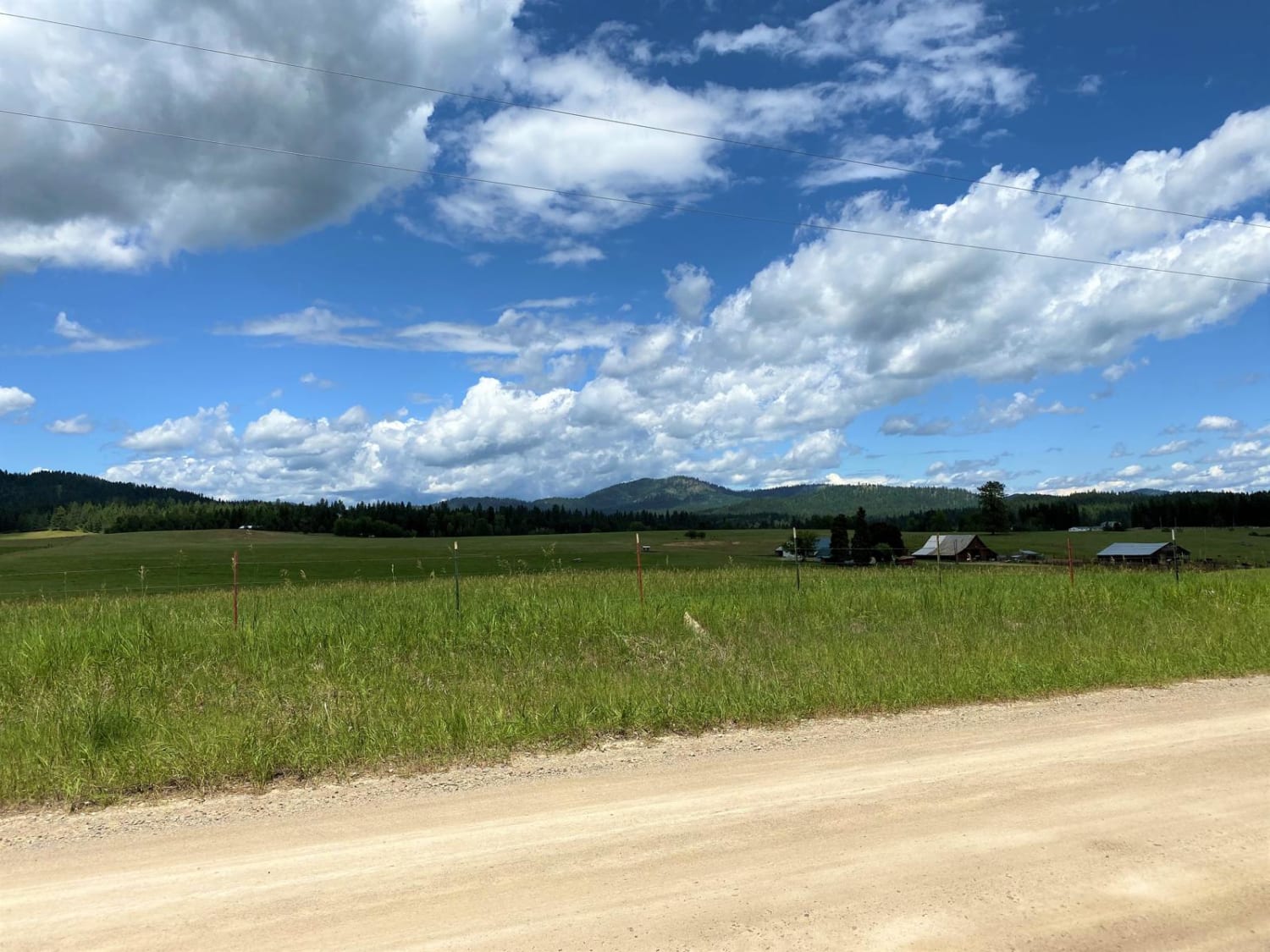
Catt Creek is a gravel and natural surface road, that runs through the Gifford Pinchot National. There are sections that have steep gradual inclines and sharp turns. A couple of sections on this road have started to erode, and soon enough the road might become impassable. There are views of Mount Rainer and a couple of camp spots.
Photos of Catt Creek
Difficulty
One section is beginning to erode and over time might become impassable.
Status Reports
Catt Creek can be accessed by the following ride types:
- High-Clearance 4x4
- SUV
- SxS (60")
- ATV (50")
- Dirt Bike
Catt Creek Map
Popular Trails
Jones Creek ORV
Bohinkleman Road
The onX Offroad Difference
onX Offroad combines trail photos, descriptions, difficulty ratings, width restrictions, seasonality, and more in a user-friendly interface. Available on all devices, with offline access and full compatibility with CarPlay and Android Auto. Discover what you’re missing today!