Cataloochee Turnpike to Big Creek
Total Miles
11.0
Technical Rating
Best Time
Spring, Summer, Fall
Trail Type
Full-Width Road
Accessible By
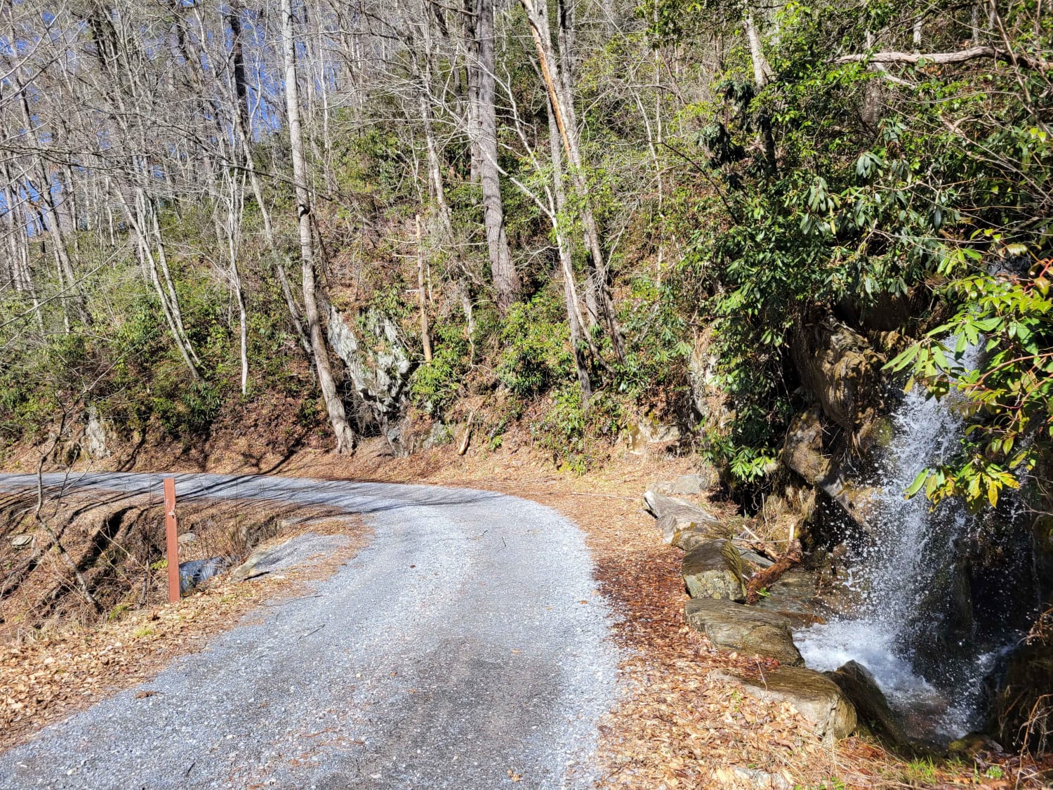
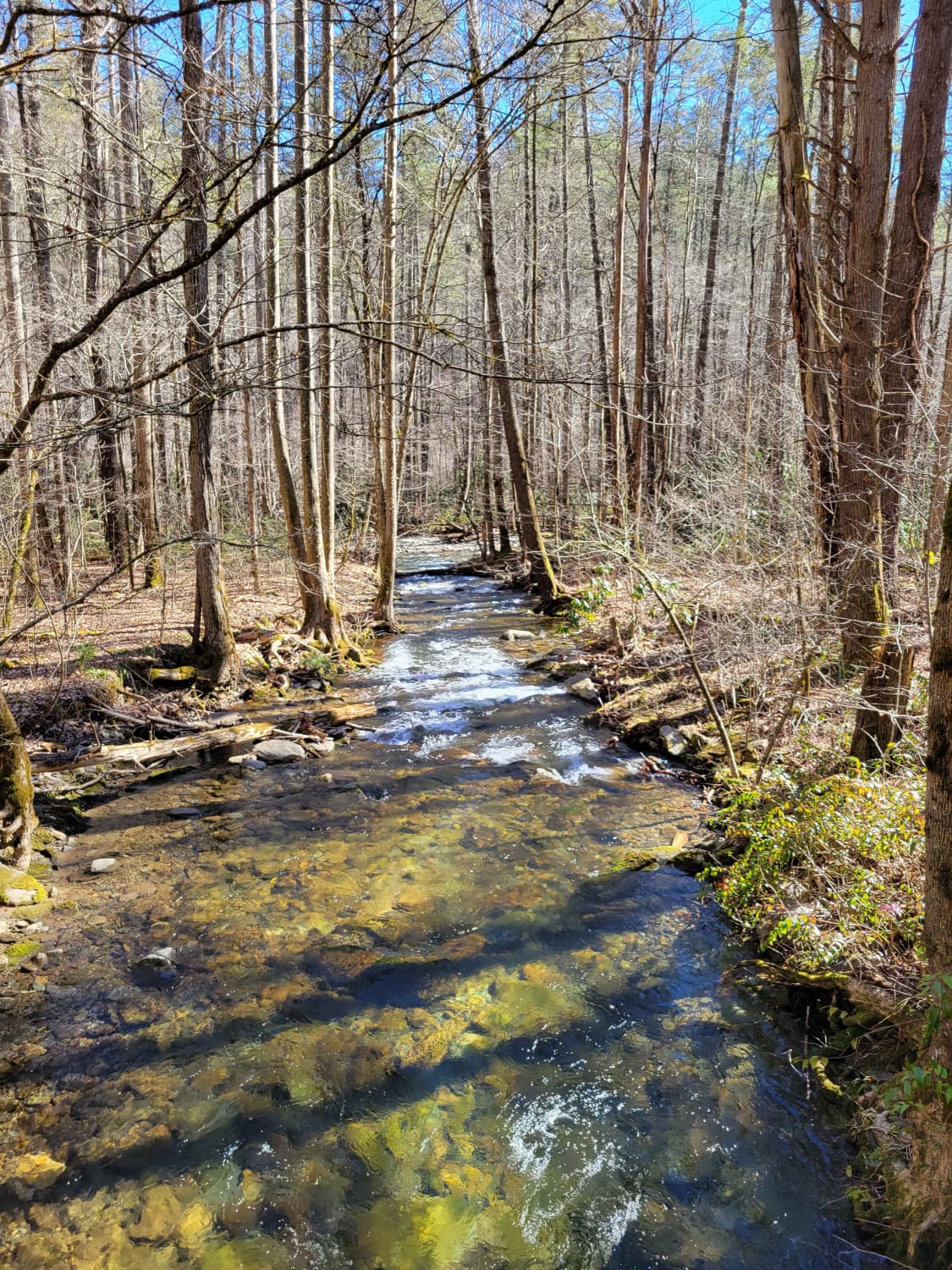
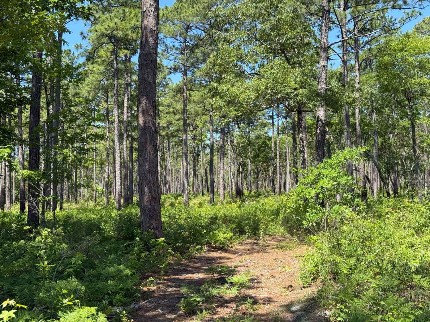
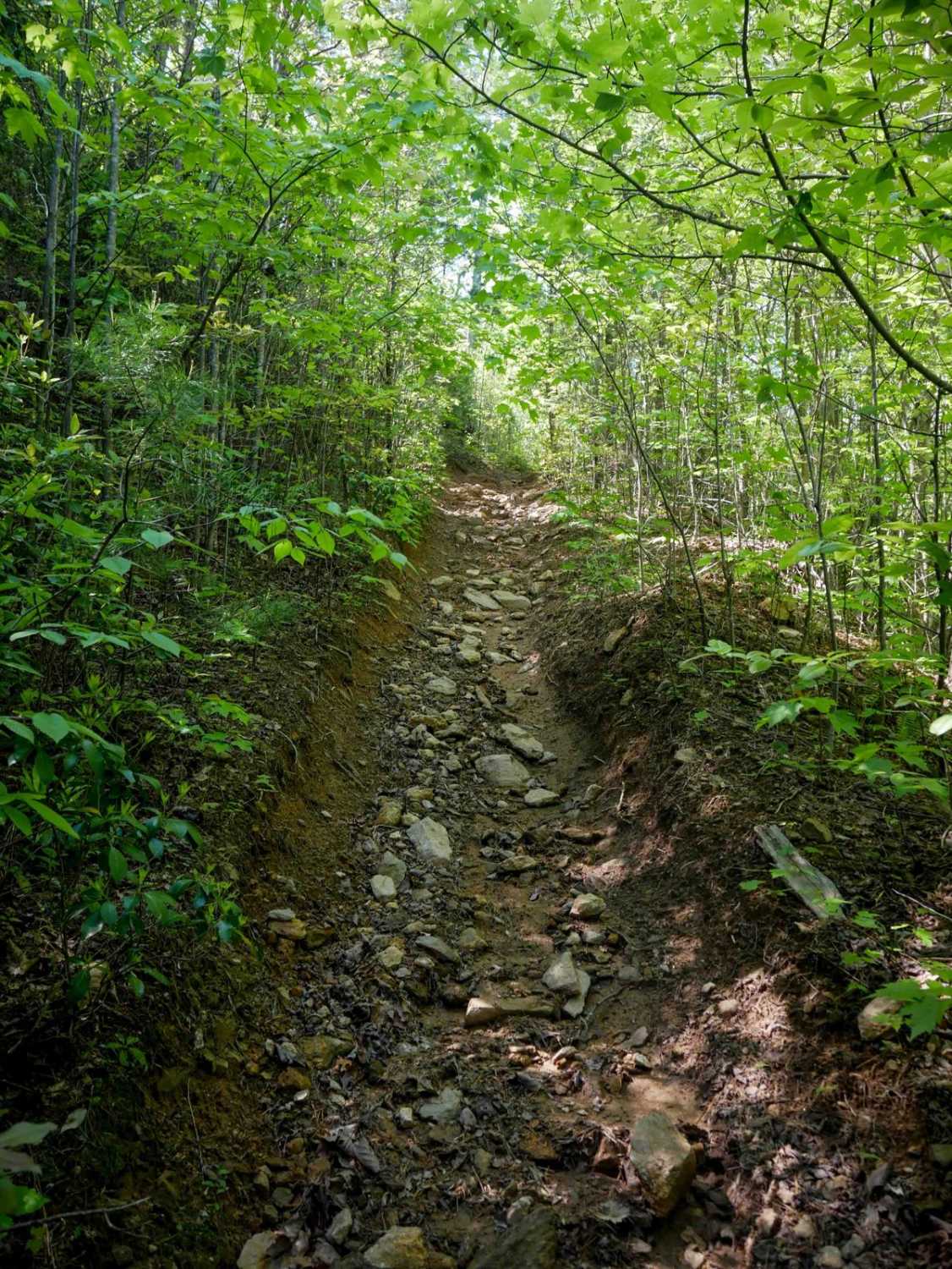
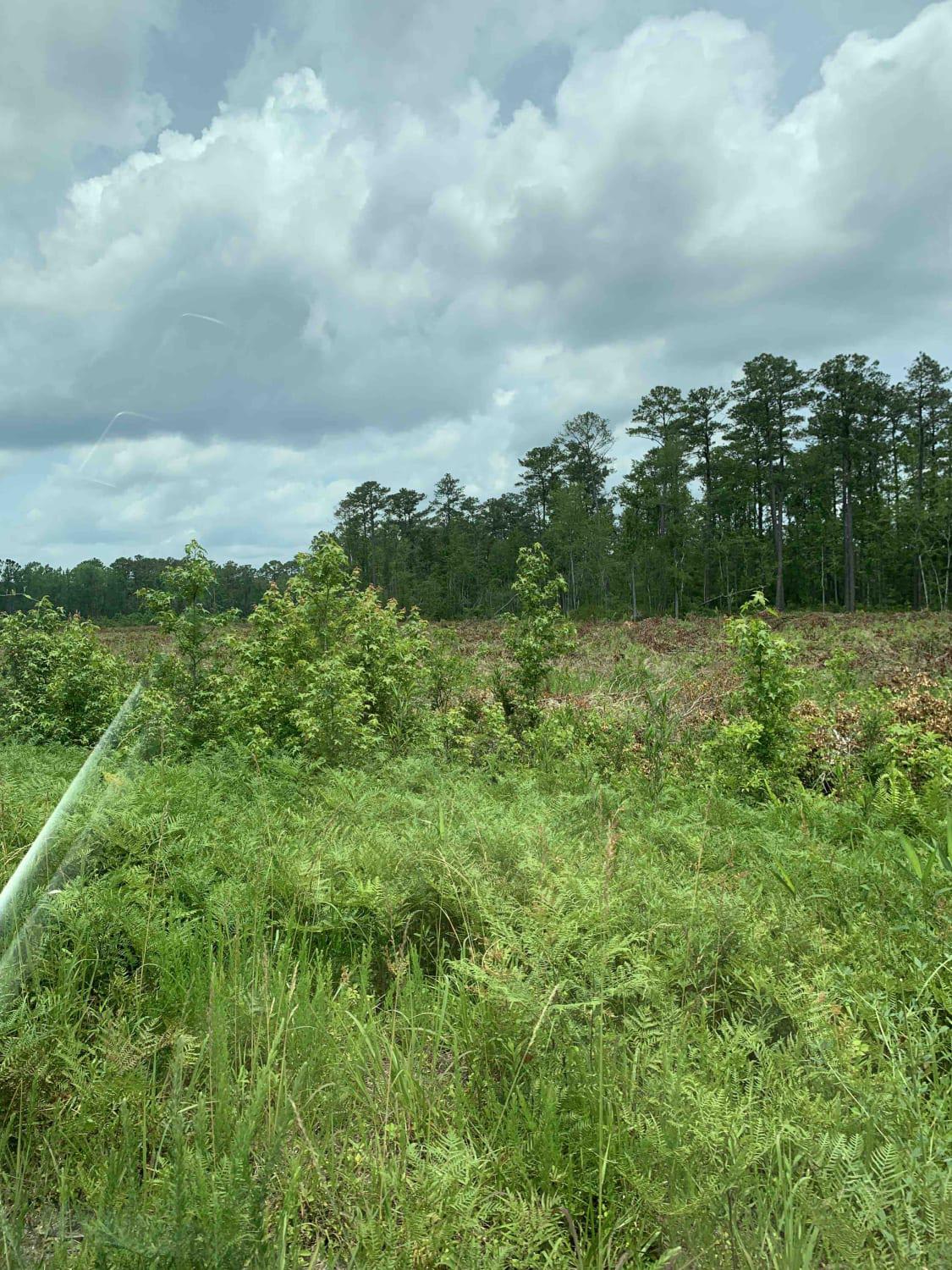
Trail Overview
Gravel Road through the GSMNP Cataloochee area to Big Creek. The road is suitable for most vehicles, but higher clearance is recommended due to some rocky areas. The road will close during significant weather events like snowstorms, so checking the road status before departing is best. There are lovely vistas and creek/river areas. The road climbs from the valley floor over Mt. Sterling.
Photos of Cataloochee Turnpike to Big Creek
Difficulty
Gravel/Dirt road with decent elevation gain. Road will close during inclement weather events like snow. Suitable for most cars but higher clearance recommended due to some rocky areas. Low clearance vehicles may have a harder ride.
Status Reports
Cataloochee Turnpike to Big Creek can be accessed by the following ride types:
- High-Clearance 4x4
- SUV
Cataloochee Turnpike to Big Creek Map
Popular Trails
FS 206 Spur 3

Rocky Mount Loop Trail 92
Holston Hunter Trail
The onX Offroad Difference
onX Offroad combines trail photos, descriptions, difficulty ratings, width restrictions, seasonality, and more in a user-friendly interface. Available on all devices, with offline access and full compatibility with CarPlay and Android Auto. Discover what you’re missing today!