West Strauss
Total Kilometers
8.4
Technical Rating
Best Time
Summer
Trail Type
Full-Width Road
Accessible By
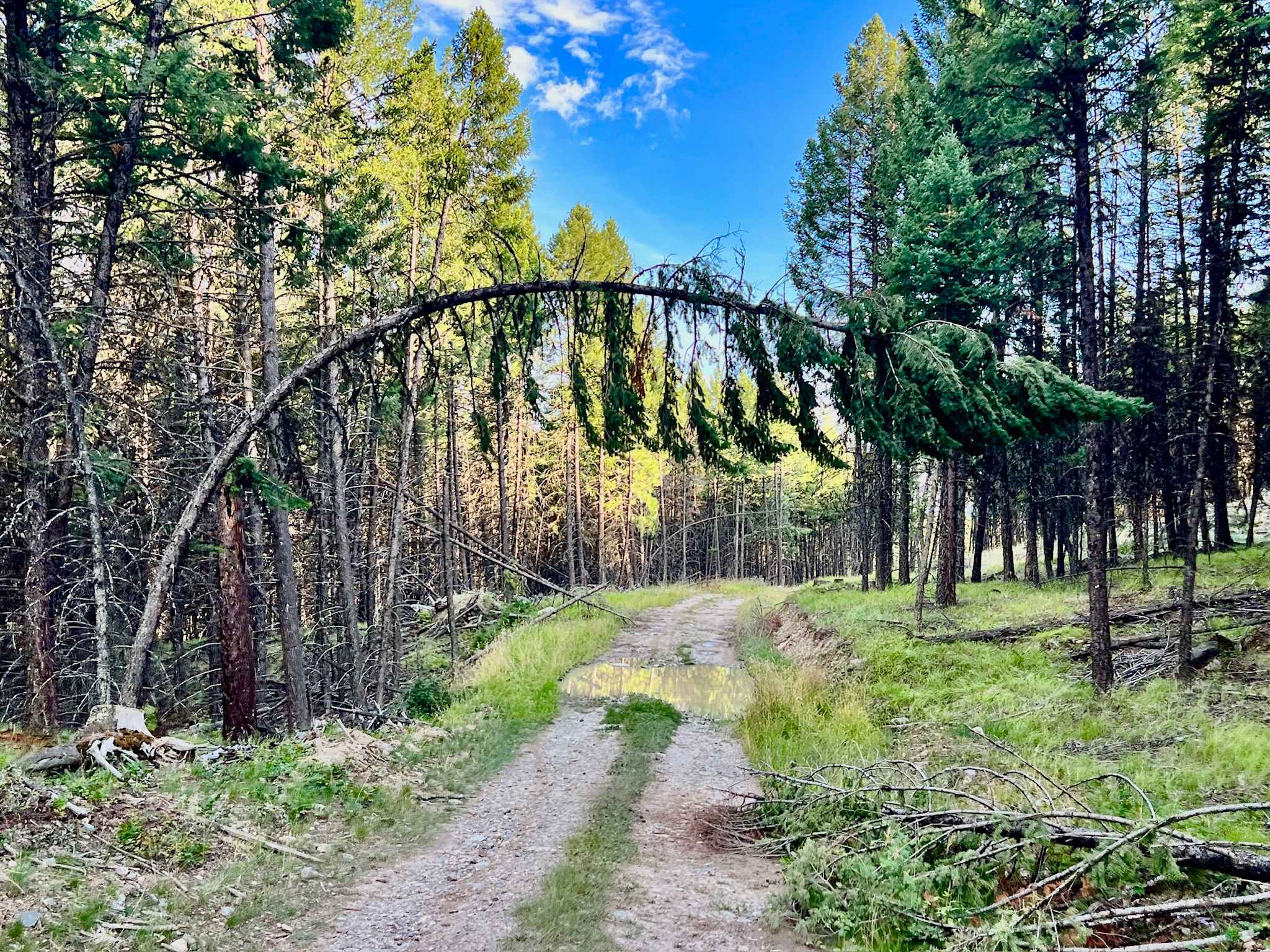
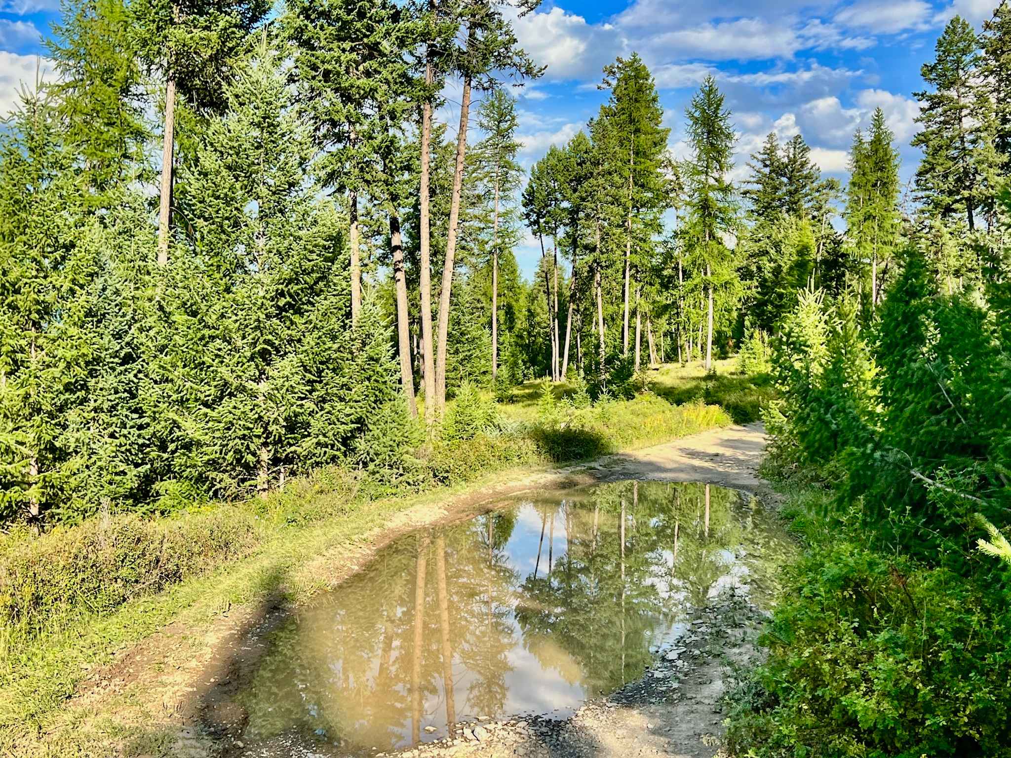
Trail Overview
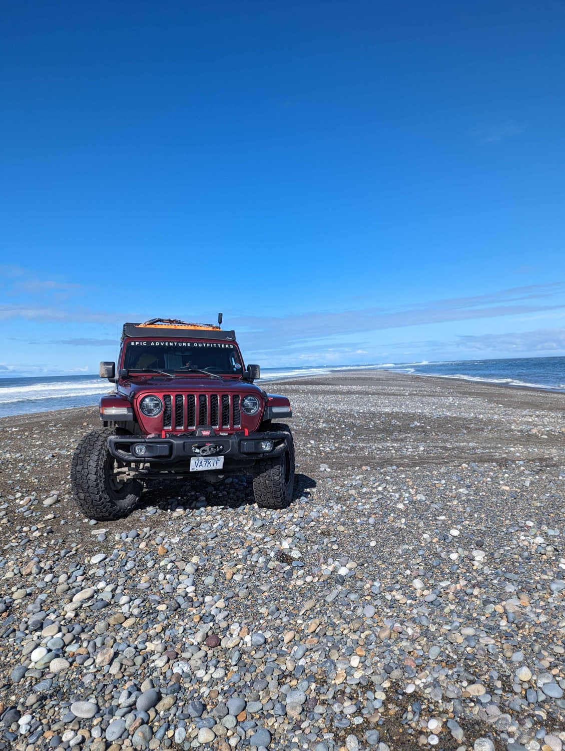
Prepare for a journey filled with towering trees, sweeping meadows, and exhilarating mud puddles on West Strauss. This trail offers a dynamic experience, initially a bit bouncy due to rocks scattered across its surface. The route weaves through dense forests that periodically open up to reveal stunning meadows, granting beautiful views of the surrounding landscape. For most of its length, this trail maintains a relatively easy 2-rating. However, the last half-mile ramps up the challenge, earning it a 3-rating. This final section features steeper off-camber terrain and loose, silty hill climbs and descents that truly test your vehicle's capabilities. For those seeking a milder experience, you can turn left before this last challenging mile to avoid the more technical sections. But be warned: this final segment is where much of the fun and the most amazing views truly lie. A few bars of Verizon cell service may be available in some areas, but reliance on offline maps is crucial.
Photos of West Strauss
Difficulty
Expect a mix of rocky, bouncy sections, mud puddles (especially when wet), off-camber areas, and loose, silty hill climbs/descents. A less technical route is available before the final difficult section. A capable 4x4 vehicle with good ground clearance is highly recommended, especially for the final challenging half-mile.
History
A Glimpse into the Past: West Strauss traverses a landscape layered with history, all within the traditional territory of the Ktunaxa (Kootenai) First Nation, who have been stewards of this land for over 10,000 years. Much like other trails in the Koocanusa area, this route likely traces old logging roads, remnants of the extensive timber harvesting that shaped the region before the modern era. The expansive meadows you'll encounter are often evidence of these past clearcuts. The most significant transformation came with the creation of Lake Koocanusa in the late 1960s and early 1970s, an international project (the Libby Dam) that reshaped the entire Kootenay River valley for flood control and power. The KRMA was established to manage and enhance recreational opportunities in the Lake Koocanusa area while protecting natural resources. The KRMA encompasses a large area of Crown land and offers a wide range of recreational activities, including camping, hiking, boating, fishing, and off-roading. The KRMA is managed by the British Columbia Ministry of Forests, Lands, Natural Resource Operations, and Rural Development. It is important to check their website for any closures or restrictions.
Status Reports
West Strauss can be accessed by the following ride types:
- High-Clearance 4x4
- SUV
- SxS (60")
- ATV (50")
- Dirt Bike
West Strauss Map
Popular Trails
White Boar Lake

Bluejoint Mountain Road
The onX Offroad Difference
onX Offroad combines trail photos, descriptions, difficulty ratings, width restrictions, seasonality, and more in a user-friendly interface. Available on all devices, with offline access and full compatibility with CarPlay and Android Auto. Discover what you’re missing today!