Lone Pine Divide
Total Miles
39.2
Technical Rating
Best Time
Spring, Fall, Summer
Trail Type
Full-Width Road
Accessible By
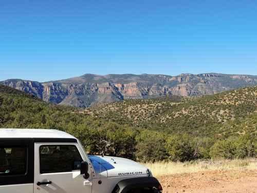
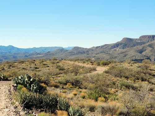
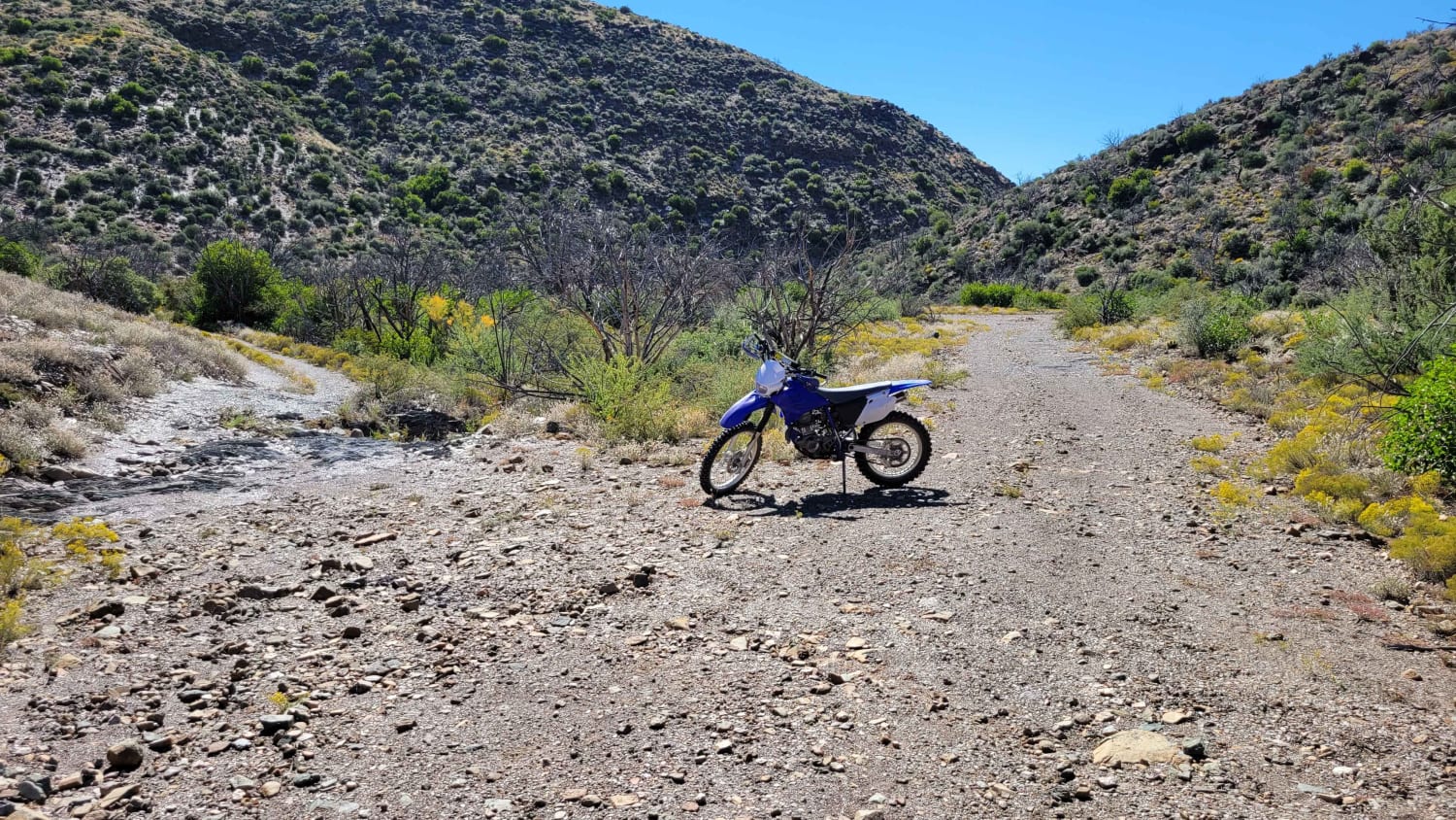
Trail Overview
A very enjoyable backcountry Jeep trail from SR 288 (Young Road) just north of Roosevelt Lake back to SR 288 north of Young. This trip stays east of the Sierra Ancha Wilderness and skirts the edge of the Apache Reservation. 16 miles on Cherry Creek Road then 40 miles on Forest Service Road 202, passing over the Lone Pine Divide. Easy road with a few rough stretches. It will not take as long as you might think.Cherry Creek Road is in the higher elevations of the Sonoran Desert, so still has plenty of saguaros. FS 202 rises quickly and soon leaves those behind.
Photos of Lone Pine Divide
Difficulty
A fairly easy cruise with good views and only occasional challenges
Status Reports
Lone Pine Divide can be accessed by the following ride types:
- High-Clearance 4x4
- SUV
- SxS (60")
- ATV (50")
- Dirt Bike
Lone Pine Divide Map
Popular Trails
Cramm Trail

Quarry Run - 39b

Hidden Valley Wash

West Sawyer Road - P1538
The onX Offroad Difference
onX Offroad combines trail photos, descriptions, difficulty ratings, width restrictions, seasonality, and more in a user-friendly interface. Available on all devices, with offline access and full compatibility with CarPlay and Android Auto. Discover what you’re missing today!