Trust Lands Singletrack (South)
Total Miles
1.6
Technical Rating
Best Time
Summer, Spring, Fall
Trail Type
Single Track
Accessible By
Trail Overview
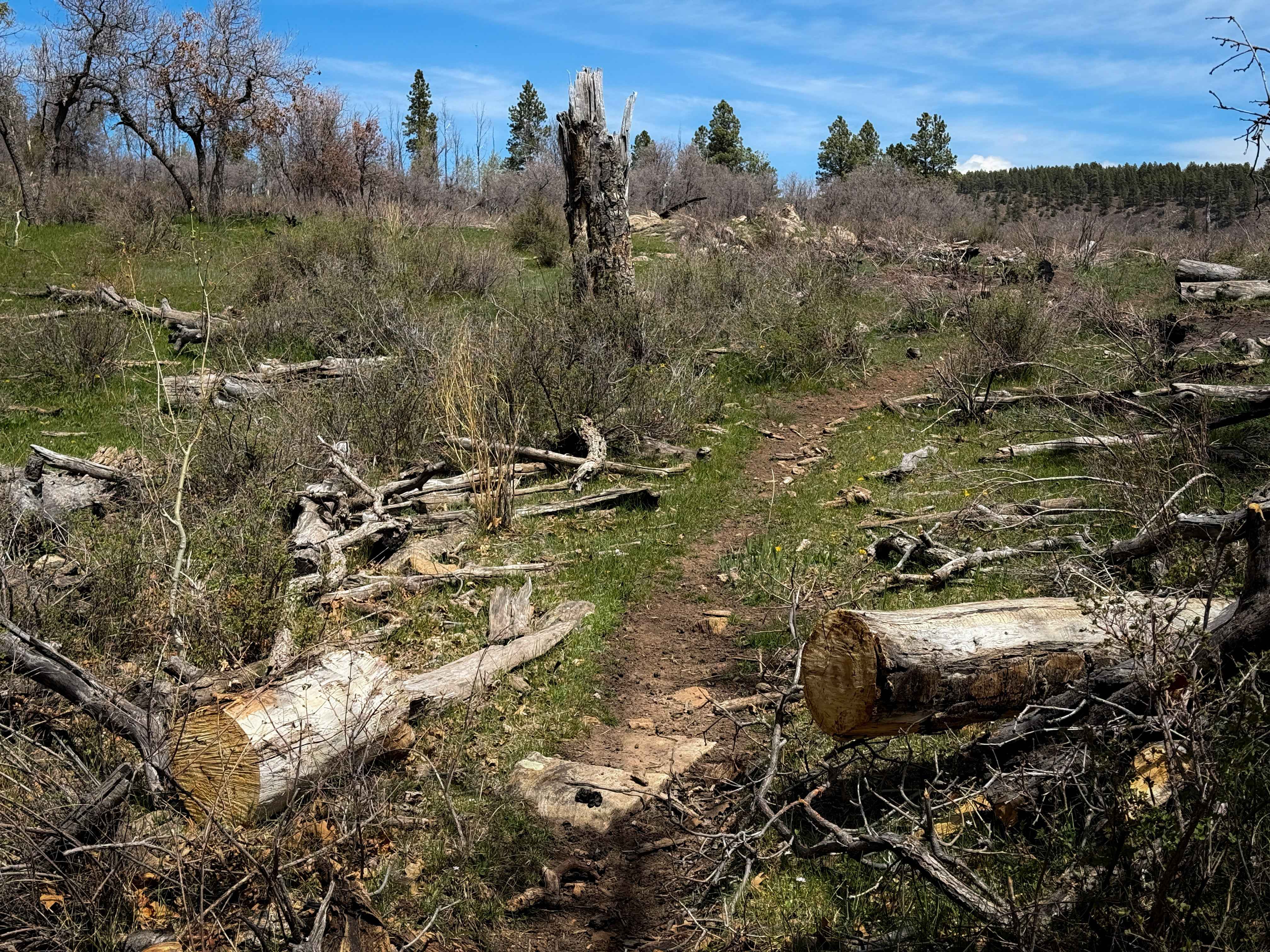
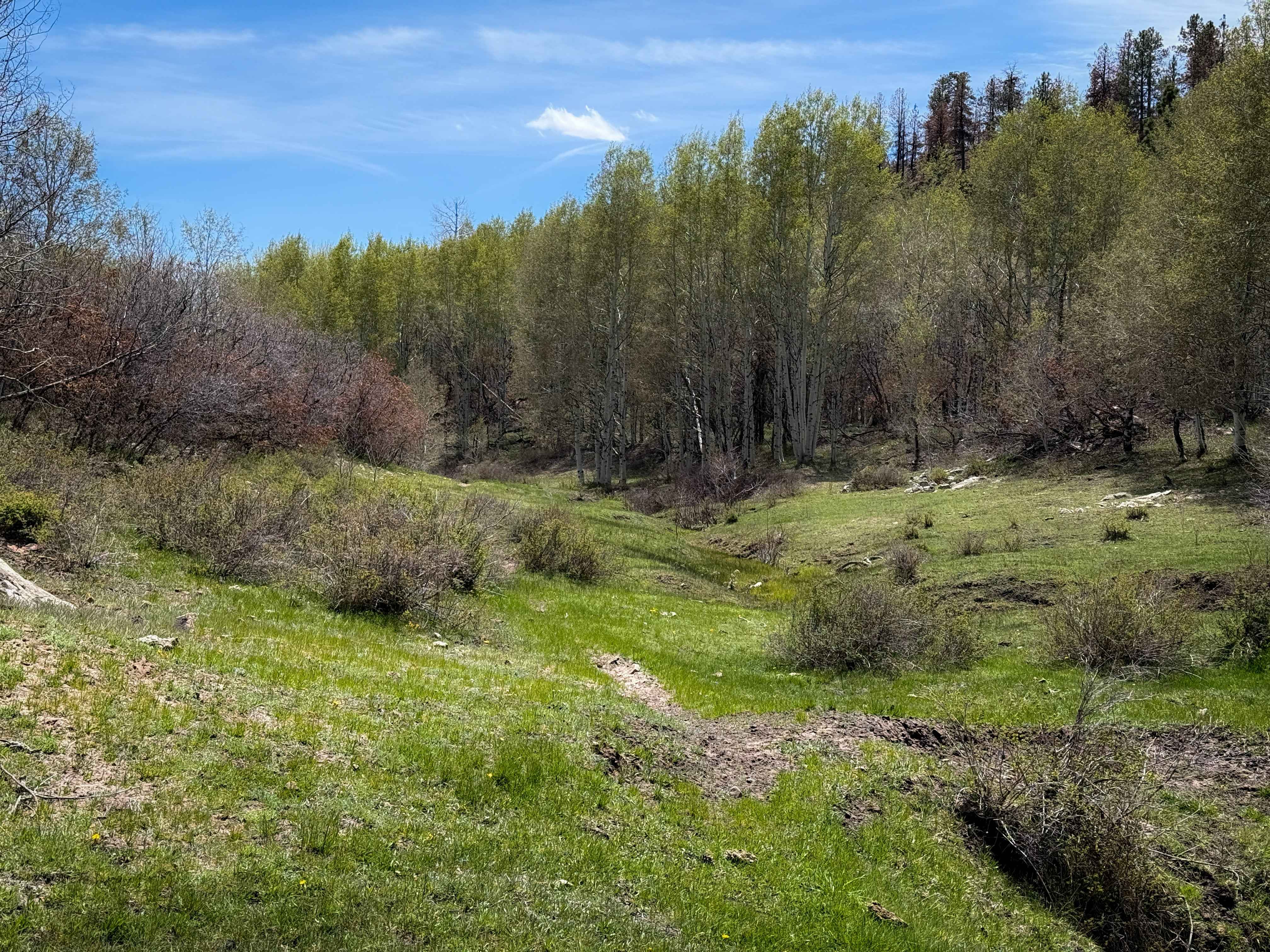
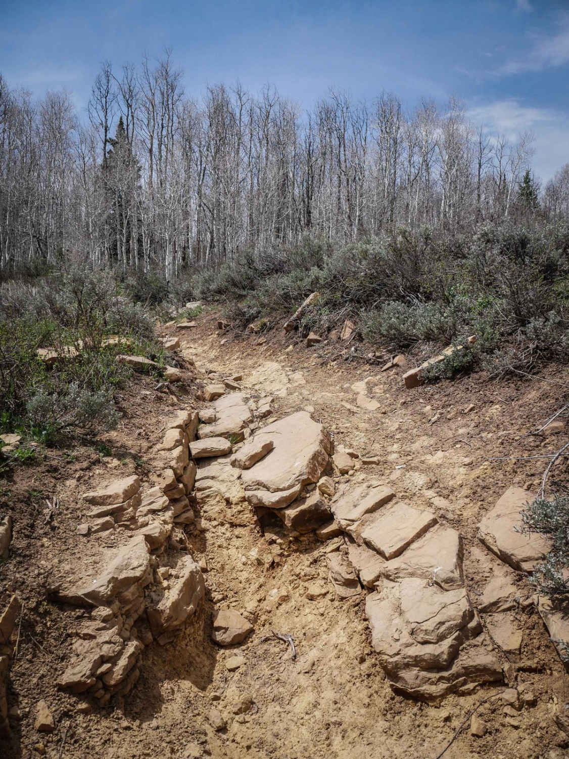
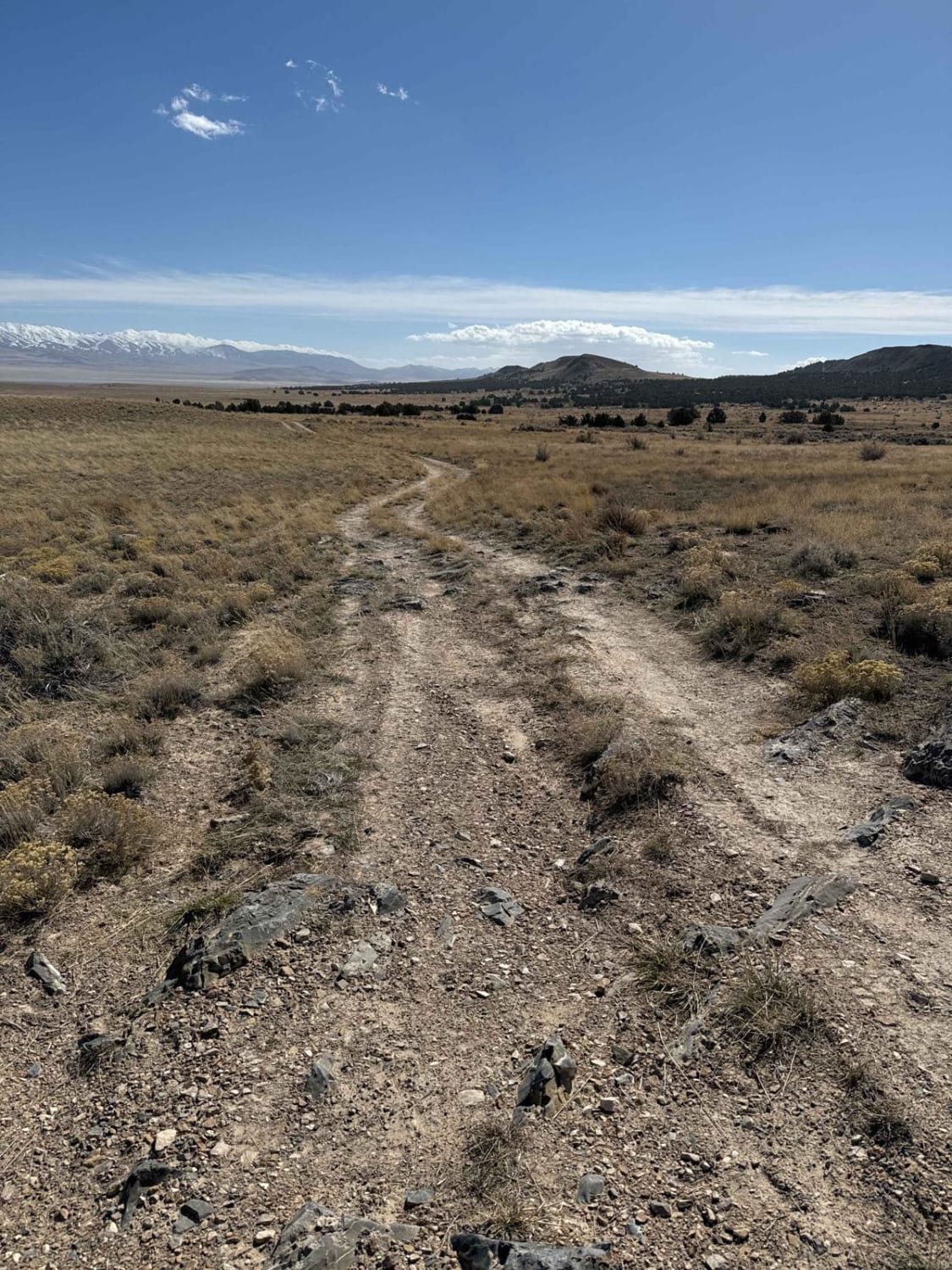
This segment of single track starts on the west end at a trail sign off of 154 that is easy to miss, as it drops off the side of the road into a grassy meadow full of aspen trees. It is a smooth and skinny dirt single track curving through the trees and along a small stream. The trail follows the creek drainage, with a few very narrow sections, some mildly rockier sections, and some grassy overgrown sections. After a quarter mile, it stays along the drainage, but the trail can get faint and easy to miss at this point, so an offline map is helpful here. It then enters a logged area, where you get wide views of the surrounding mountains. The trail snakes back and forth with tight curves and mild side-hilling as it descends the hillside to the Twomile Creek. There's a shallow stream crossing, and it looks like it's been rerouted a few times with several fire breaks, as it goes through a burn area. The trail climbs back up through a hillside of scrub oak until it ends on the Lower 2 Mile ATV Trail. You get great views of the snow-capped La Sal mountains throughout this trail.
Photos of Trust Lands Singletrack (South)
Difficulty
This is an easy segment of single track as it is mostly gradual, with very few rock sections. The trail is narrow and faint at times, with tight curves and mild side hilling, but it is ideal for riders with less experience. However, riders should always expect new log hazards as this trail is in a high-elevation alpine environment.
Status Reports
Trust Lands Singletrack (South) can be accessed by the following ride types:
- Dirt Bike
Trust Lands Singletrack (South) Map
Popular Trails
French Hollow #027
White Rocks Alternate

Duma Point Road
West Newfoundland Road
The onX Offroad Difference
onX Offroad combines trail photos, descriptions, difficulty ratings, width restrictions, seasonality, and more in a user-friendly interface. Available on all devices, with offline access and full compatibility with CarPlay and Android Auto. Discover what you’re missing today!