West Newfoundland Road
Total Miles
19.8
Technical Rating
Best Time
Winter, Fall
Trail Type
Full-Width Road
Accessible By
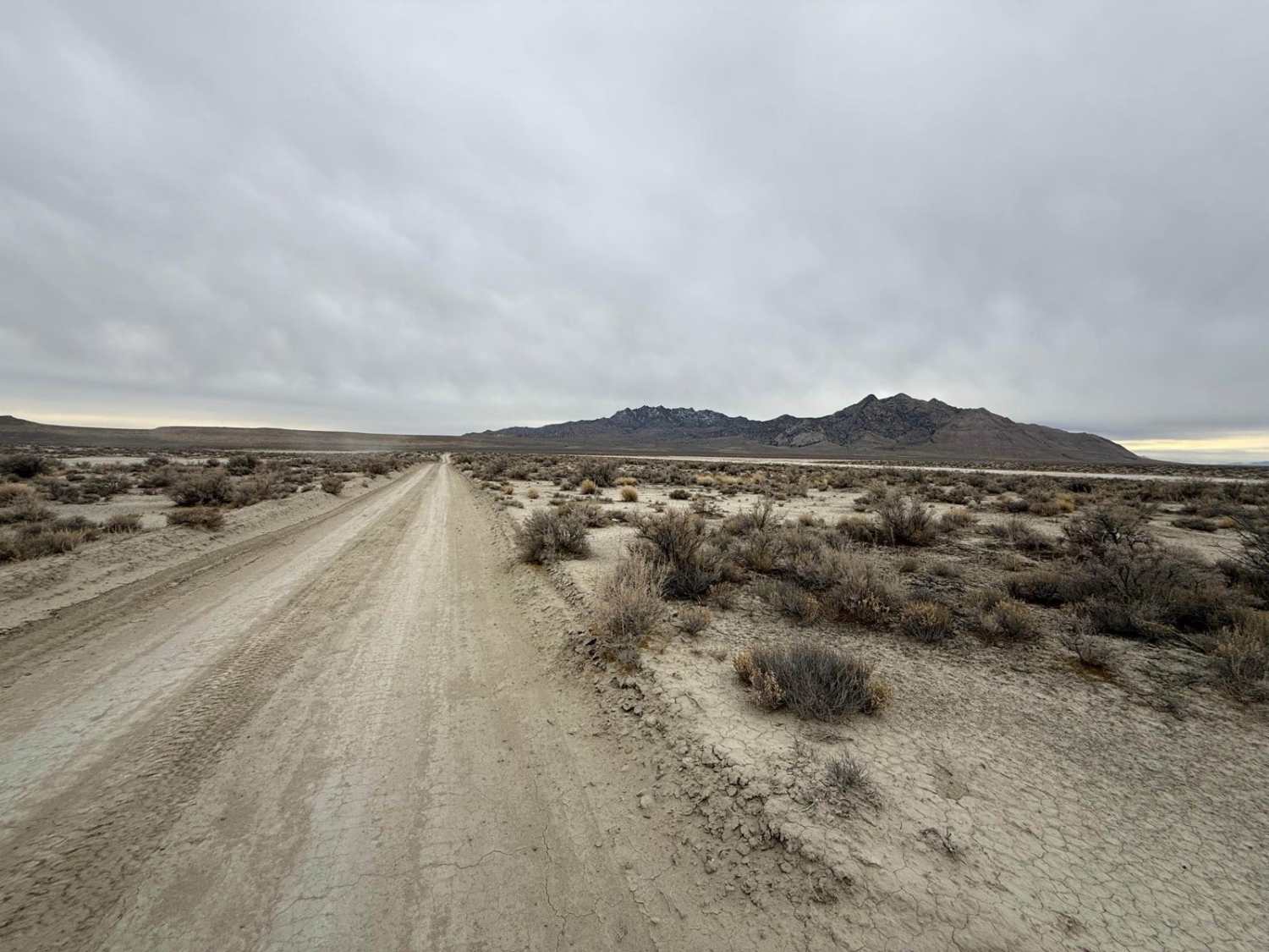
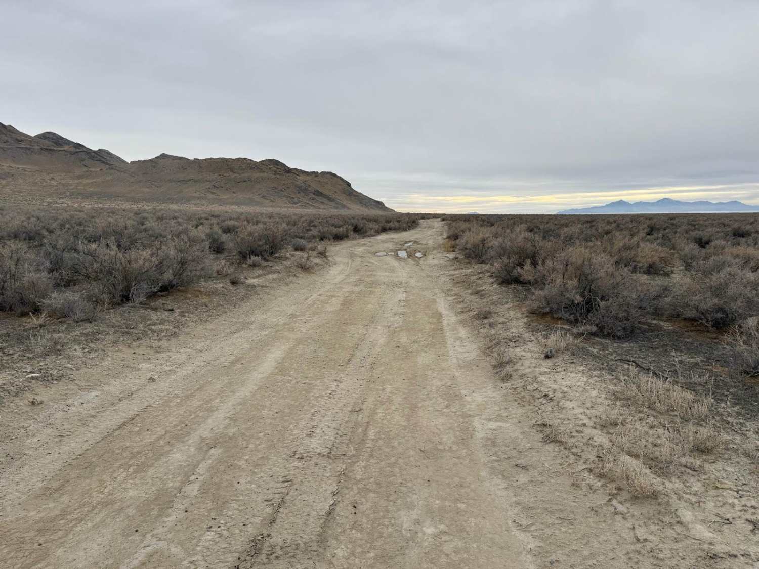
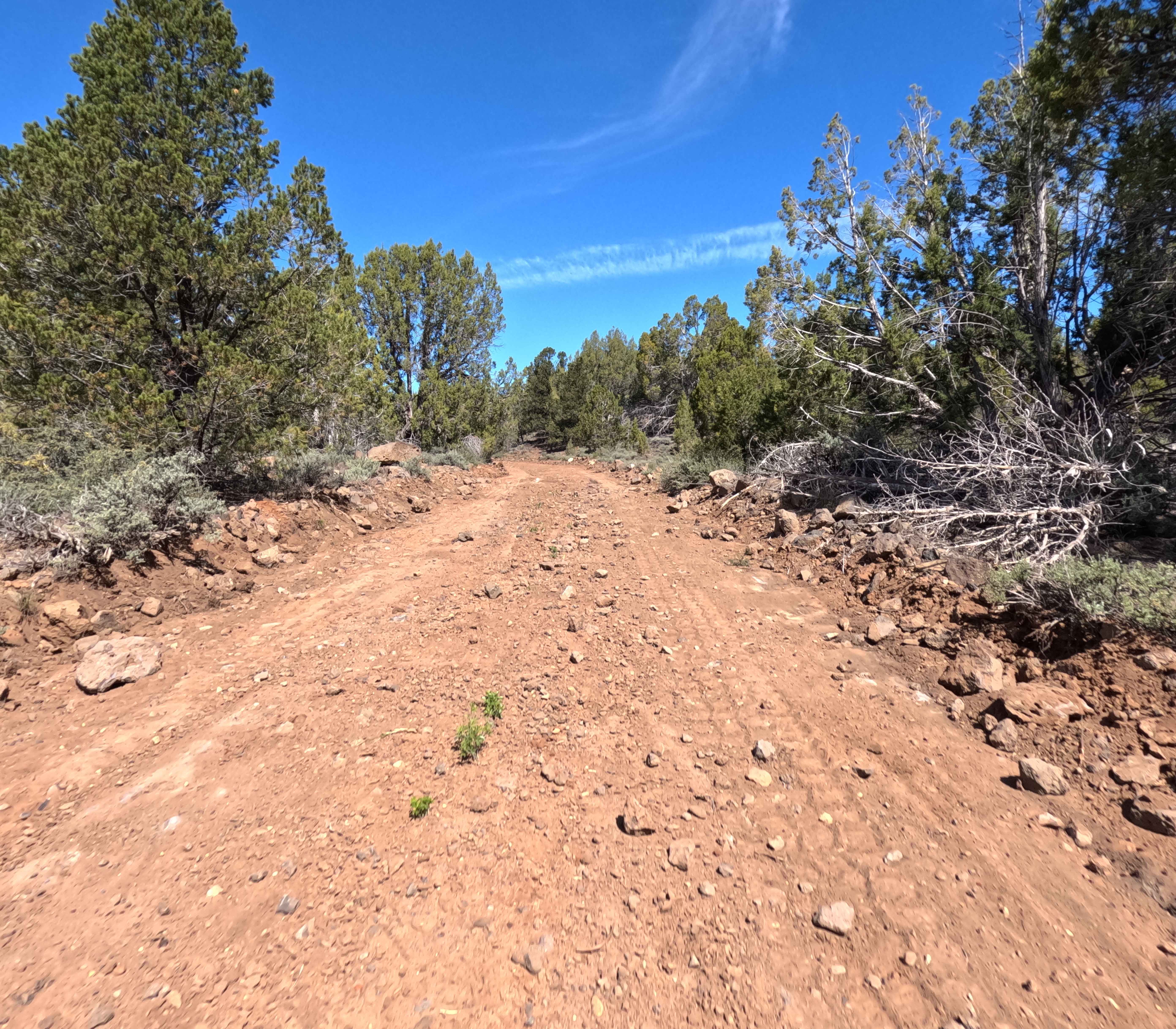
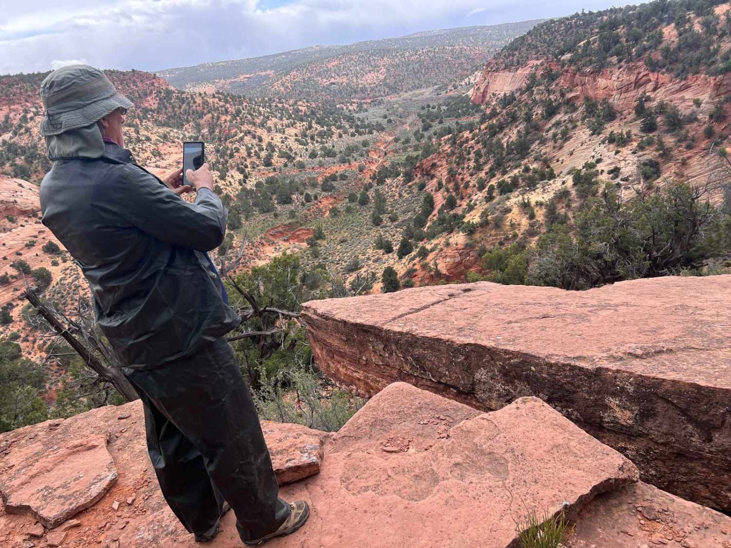
Trail Overview
This trail follows the west side of the Newfoundland Mountains, a very remote mountain range located in the middle of the Great Salt Lake Desert. This trail runs from the Railroad tracks in the North and ends at a gate for the Utah Test and Training Range near the Southern end of the mountains. The trail is a semi-improved trail, with a mix of dirt and gravel in some areas. When conditions are dry/frozen, this is a pretty easy trail that could be ridden by any 2WD vehicle with decent clearance. However if there has been any recent rains or snowmelt, you can expect this trail to get muddy and would want 4WD. Numerous rutted spots could prove to be a challenge in wet conditions. The trail has several offshoots to several smaller canyons and potential camp spots. This is a very remote area with sparse cell service, so be prepared for emergencies and travel with a buddy. Additionally, this trail provides access to a hiking trail that leads up towards Desert Peak, which is the tallest mountain in this range.
Photos of West Newfoundland Road
Difficulty
The trail is not too difficult in dry conditions, but has potential for a lot of mud in wet conditions.
Status Reports
West Newfoundland Road can be accessed by the following ride types:
- High-Clearance 4x4
- SUV
- SxS (60")
- ATV (50")
- Dirt Bike
West Newfoundland Road Map
Popular Trails
Zion Overlook Loop
Bull Valley Trail
Waterglyph Lane (BLM 101)
The onX Offroad Difference
onX Offroad combines trail photos, descriptions, difficulty ratings, width restrictions, seasonality, and more in a user-friendly interface. Available on all devices, with offline access and full compatibility with CarPlay and Android Auto. Discover what you’re missing today!