Stateline Route
Total Miles
13.7
Technical Rating
Best Time
Spring, Summer, Fall
Trail Type
60" Trail
Accessible By
Trail Overview
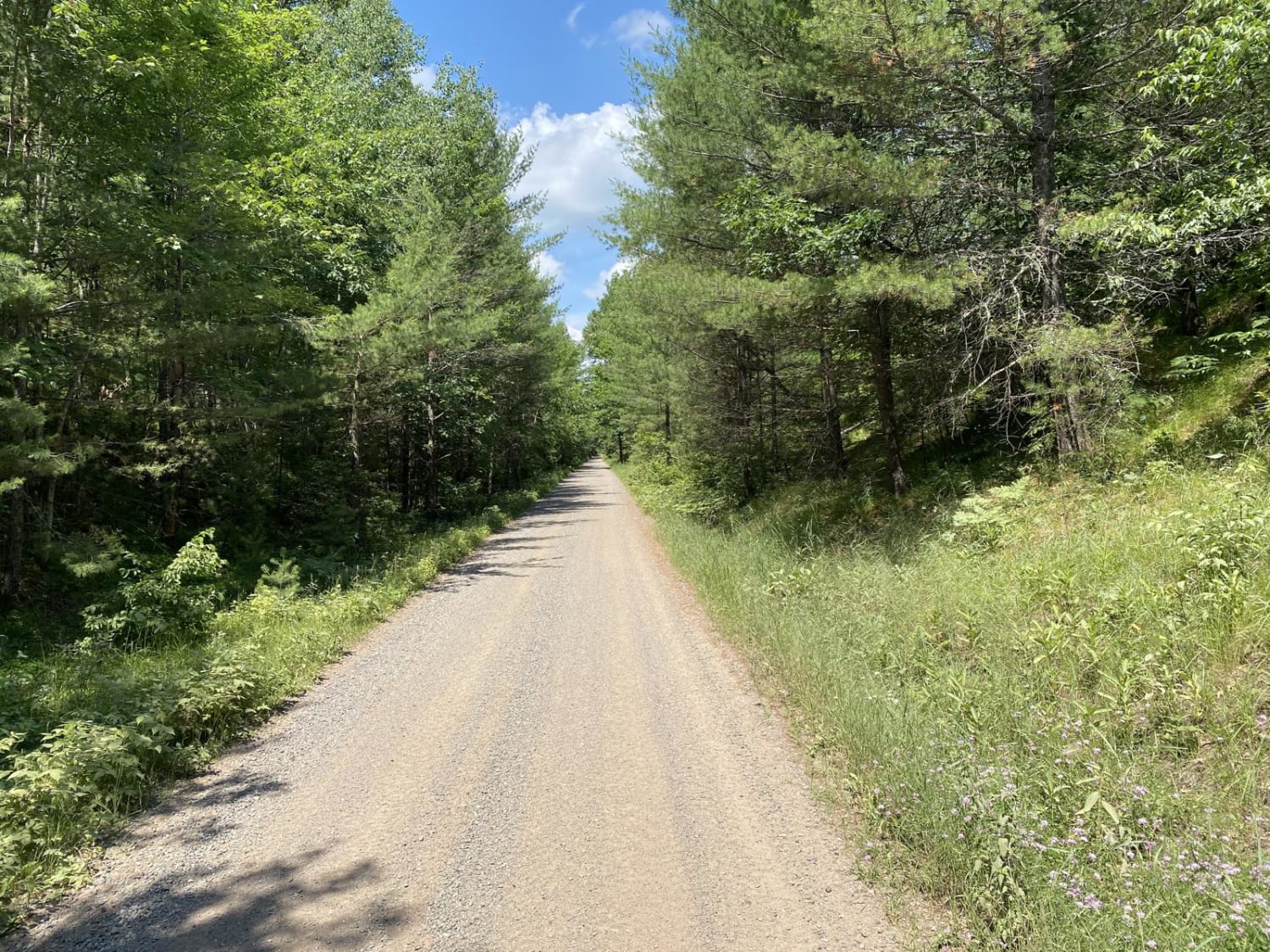
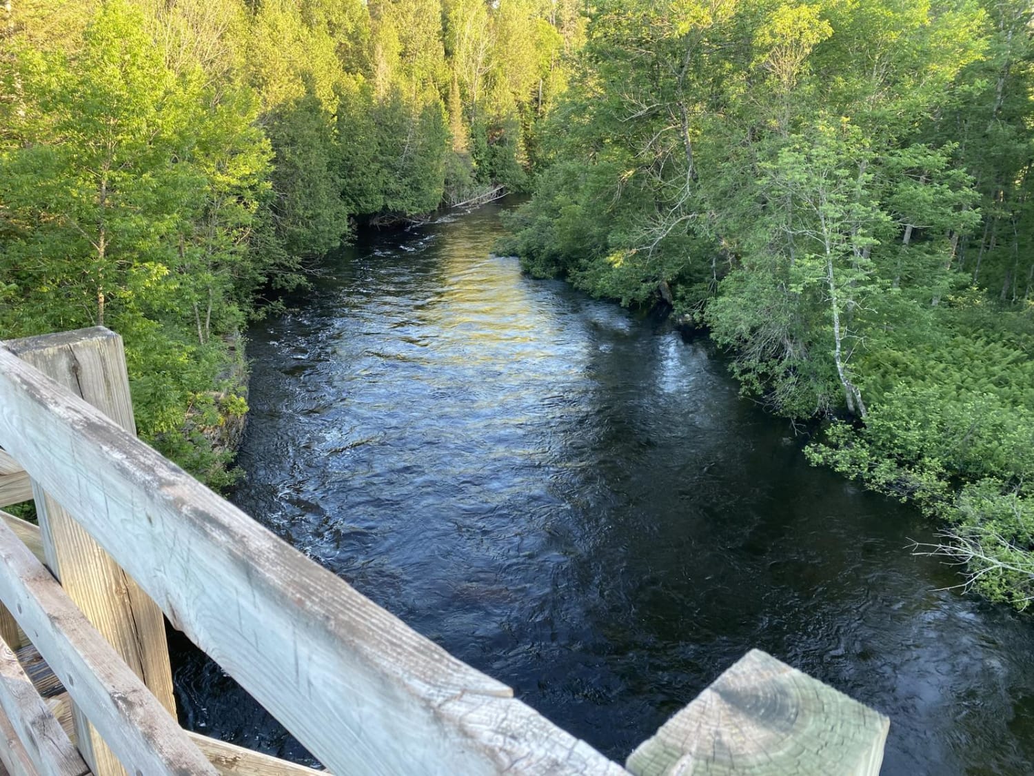
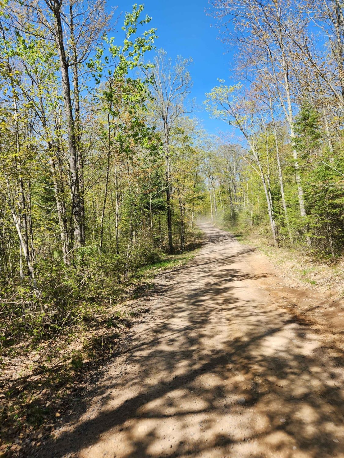
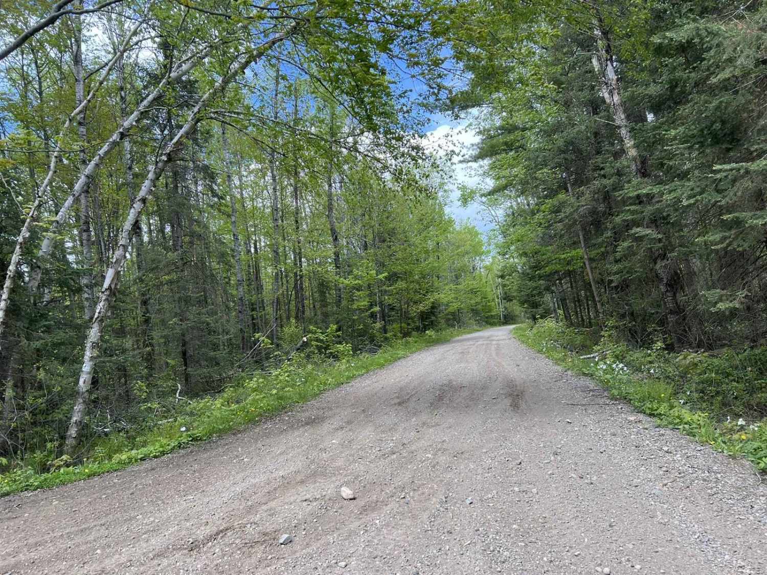
This trail is a converted rail bed that runs east/west on the very north edge of the state. It is a nice dirt and gravel road with easy grades that connects Florence, Spread Eagle and Iron Mountain.
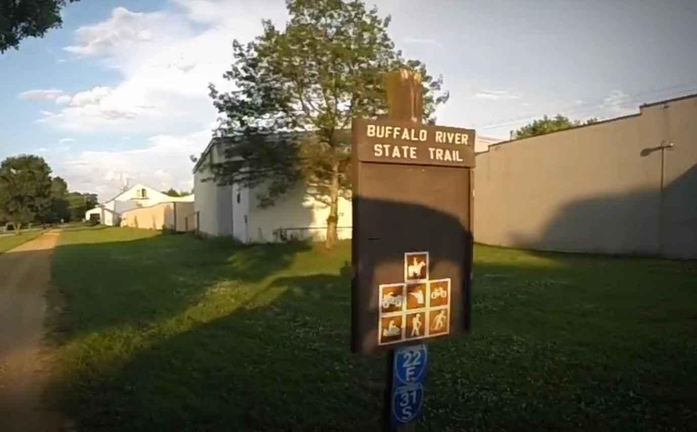
Photos of Stateline Route
Difficulty
Converted gravel railroad bed with almost no obstacles, turns or even puddles.
Stateline Route can be accessed by the following ride types:
- SxS (60")
- ATV (50")
Stateline Route Map
Popular Trails
BRST: Eleva to Mondovi

Trail 5- Forest Road 508
Nicolet State Trail Laona
The onX Offroad Difference
onX Offroad combines trail photos, descriptions, difficulty ratings, width restrictions, seasonality, and more in a user-friendly interface. Available on all devices, with offline access and full compatibility with CarPlay and Android Auto. Discover what you’re missing today!