Skyline
Total Miles
5.0
Technical Rating
Best Time
Fall, Summer, Spring
Trail Type
High-Clearance 4x4 Trail
Accessible By
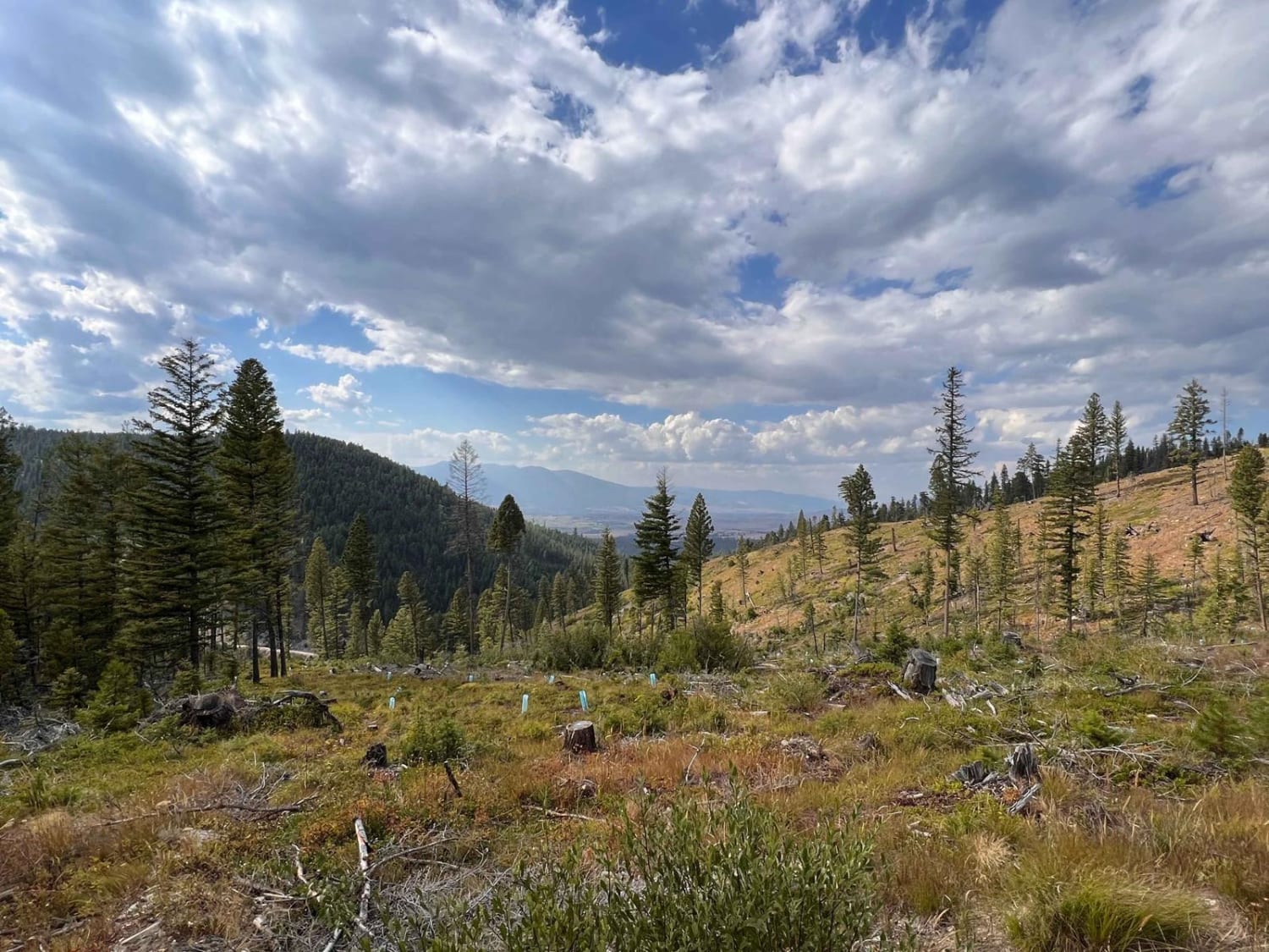
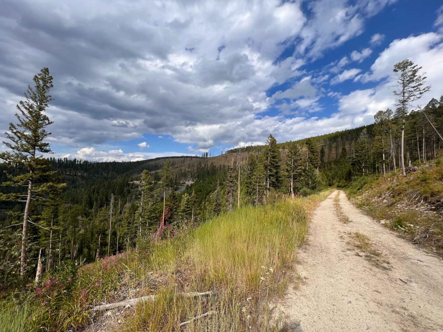
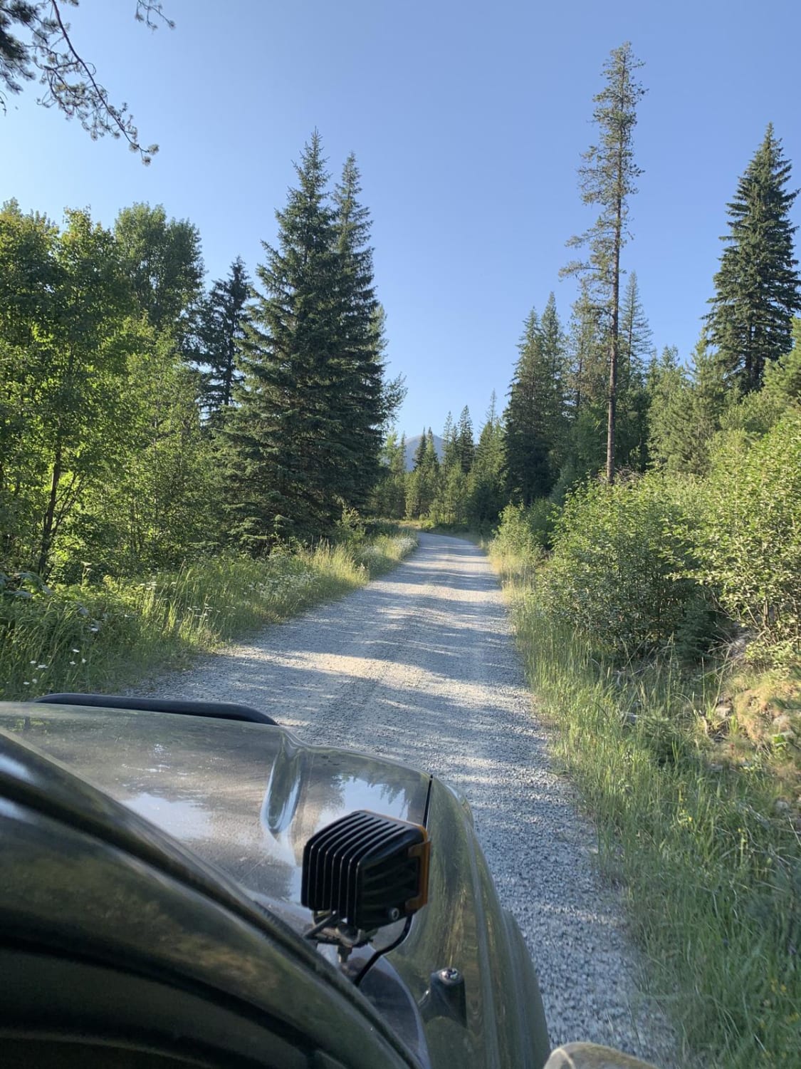
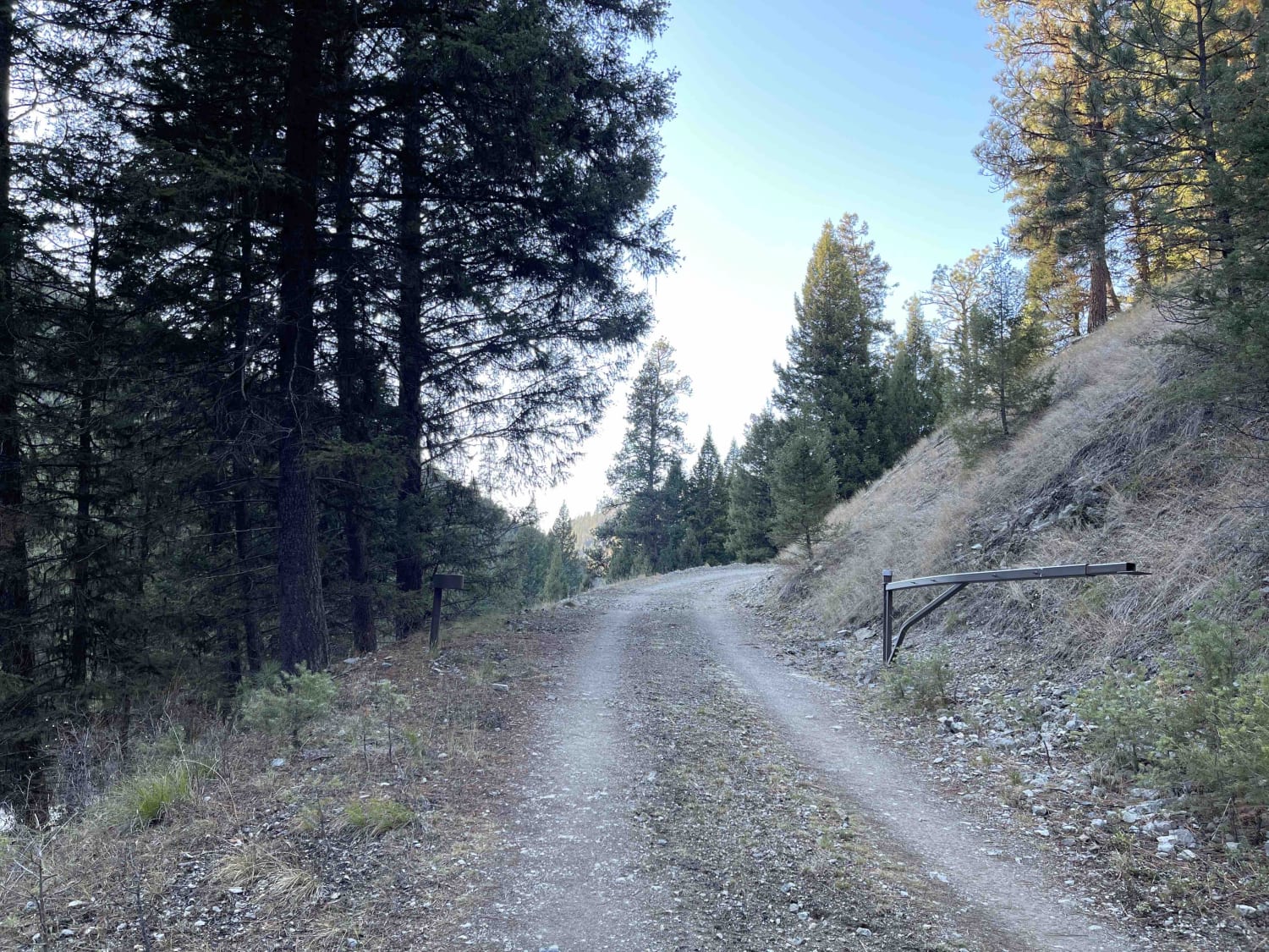
Trail Overview
This scenic, narrow trail twists its way through the trees. There are a few pullouts here and there to pass oncoming traffic and lots of evidence of tree cutting. Be prepared to clear trees if you take it after a big storm or early spring. Some sections are pretty narrow, and it would be a way to reverse to a pullout with a wider vehicle. Some deeper potholes and rocky sections await. The views are amazing, though. Be sure to turn a larger vehicle around right before the trail ends. Two bars of LTE cell service.
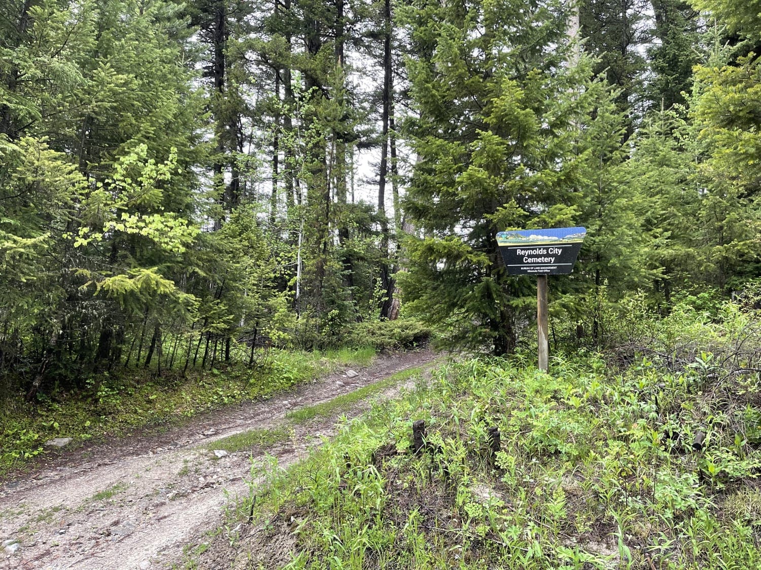
Photos of Skyline
Difficulty
Narrow and windy, There is a good chance one will have to clear trees on this trail after a storm or in the spring time.
Status Reports
Skyline can be accessed by the following ride types:
- High-Clearance 4x4
- SxS (60")
- ATV (50")
- Dirt Bike
Skyline Map
Popular Trails
Mount Marston Lookout
Round Top Road
Eastern Garnet Range Road
The onX Offroad Difference
onX Offroad combines trail photos, descriptions, difficulty ratings, width restrictions, seasonality, and more in a user-friendly interface. Available on all devices, with offline access and full compatibility with CarPlay and Android Auto. Discover what you’re missing today!