The Arkansas Overland Route - TrailHawk Loop - Section 18
Total Miles
35.1
Technical Rating
Best Time
Spring, Summer, Fall, Winter
Trail Type
Full-Width Road
Accessible By
Trail Overview
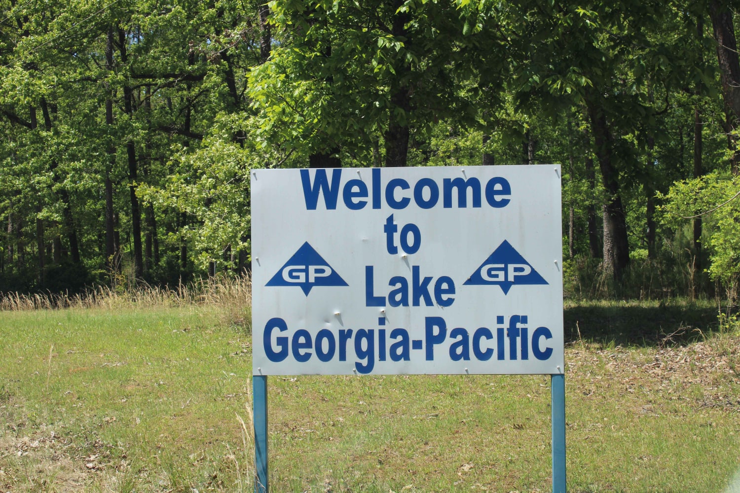
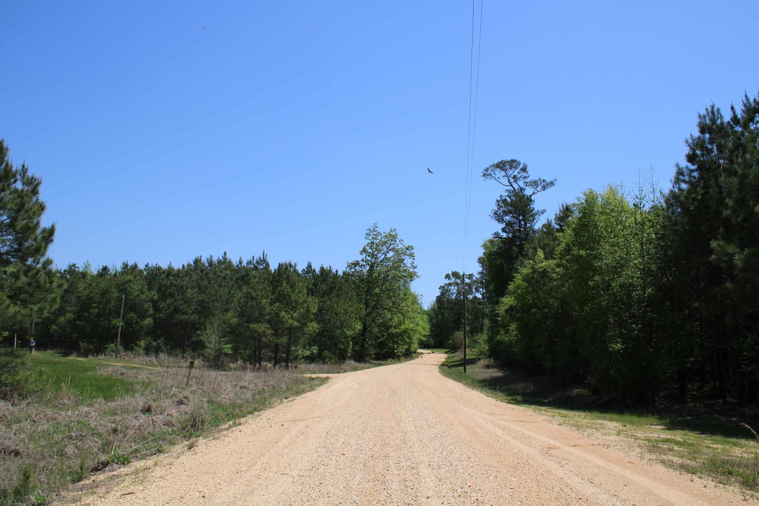
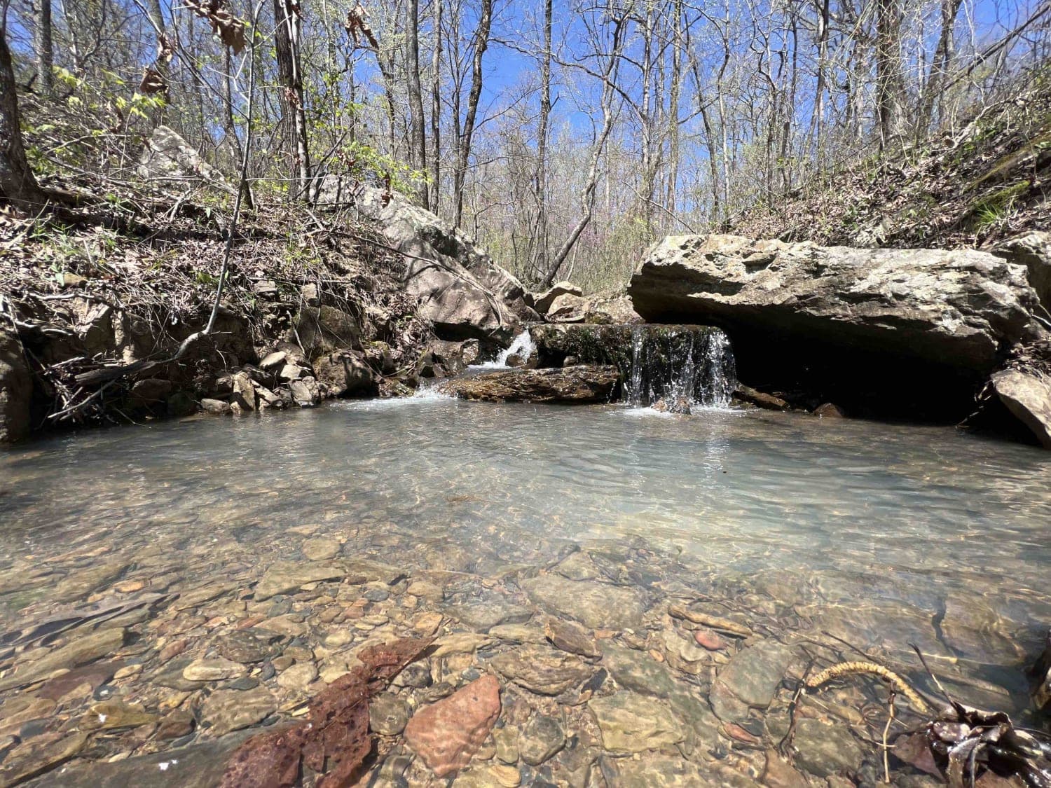
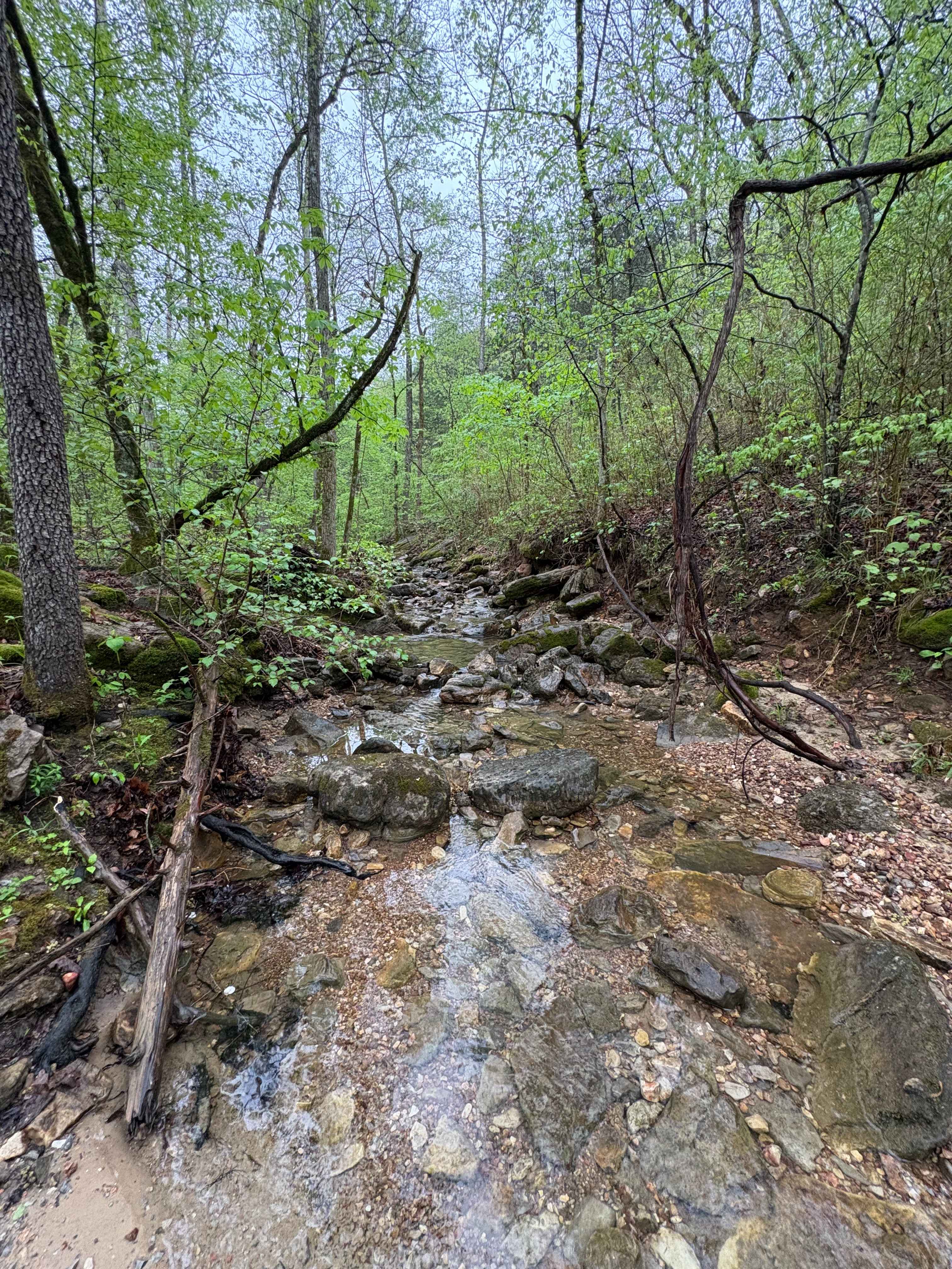
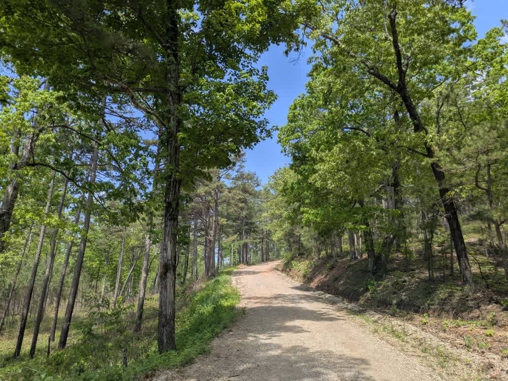
Gravel and dirt roads that can be dusty when dry. Some pavement is in this section. These roads can be muddy and slick with possible ruts when wet. Some areas can be flooded. This section forms the hawk's wing when looking at this loop on the map. This takes you to Georgia Pacific Park. There is fishing and camping in this area.
Photos of The Arkansas Overland Route - TrailHawk Loop - Section 18
Difficulty
Gravel and dirt sections can be nasty when wet. Mud, ruts and slick. Some flooding can occur.
Status Reports
The Arkansas Overland Route - TrailHawk Loop - Section 18 can be accessed by the following ride types:
- High-Clearance 4x4
- SUV
The Arkansas Overland Route - TrailHawk Loop - Section 18 Map
Popular Trails
Fanes Creek 1520
Spring Creek Falls

Lava Flow
The onX Offroad Difference
onX Offroad combines trail photos, descriptions, difficulty ratings, width restrictions, seasonality, and more in a user-friendly interface. Available on all devices, with offline access and full compatibility with CarPlay and Android Auto. Discover what you’re missing today!