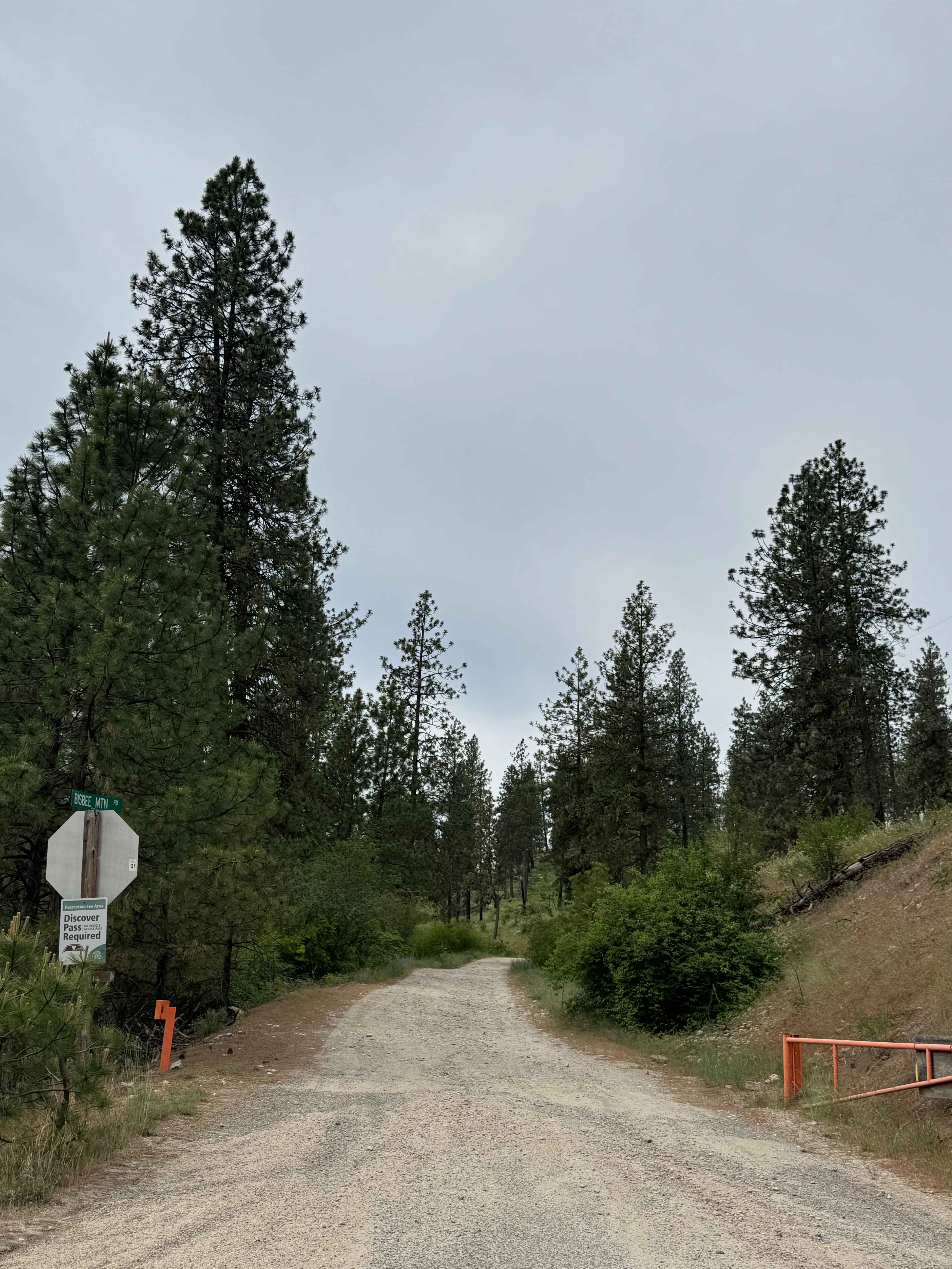
Bisbee Mountain Road
Total Miles
5.9
Technical Rating
Best Time
Spring, Summer, Fall
Trail Type
Full-Width Road
Accessible By
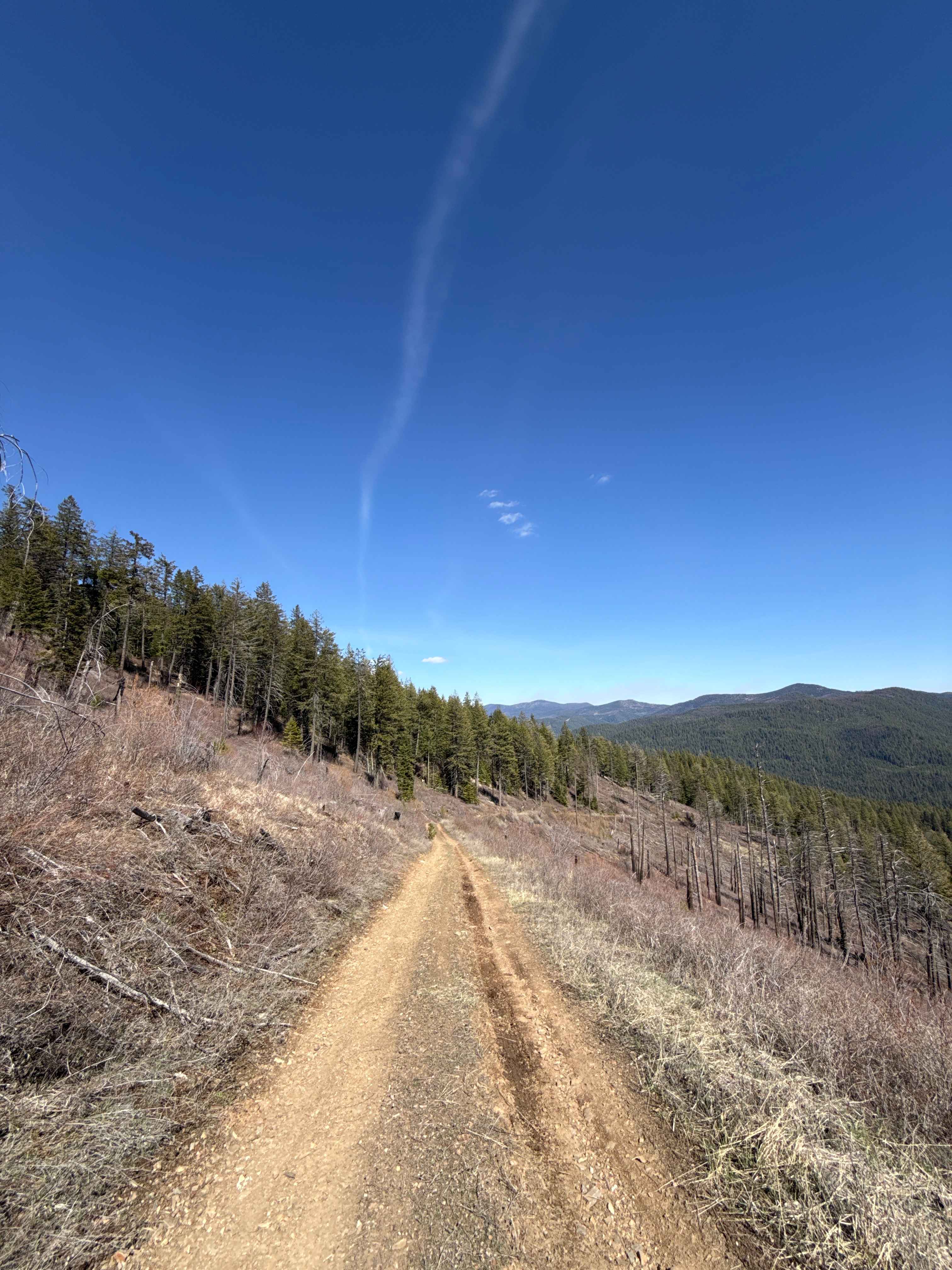
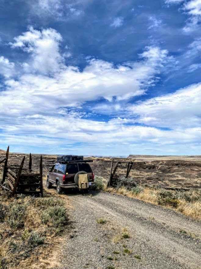
Trail Overview
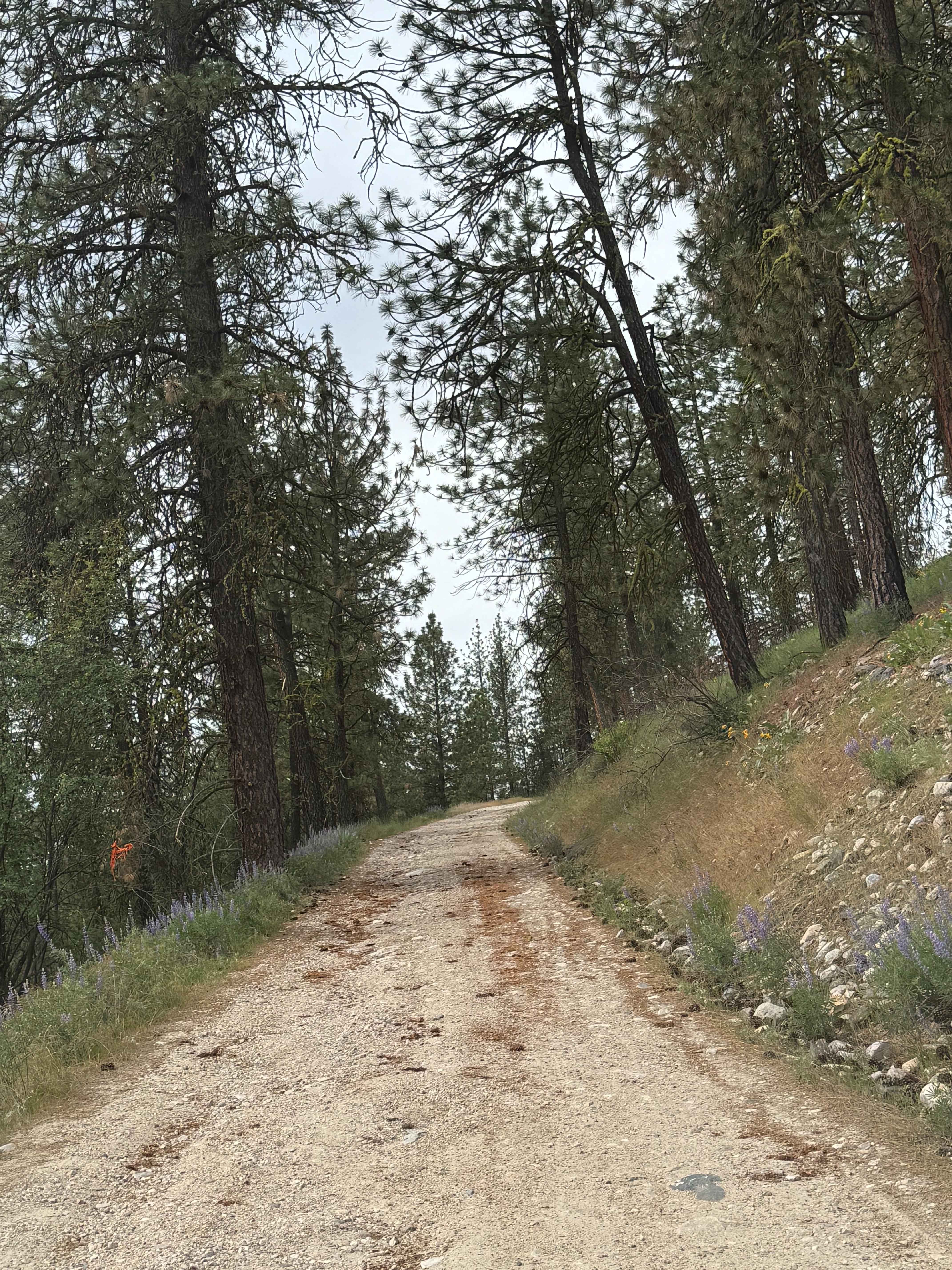
This trail is on Washington DNR Land, and a Discover Pass is required to enjoy this location. Beginning from Highway 20 in Kettle Falls, Washington, this trail is dirt-based with rocky sections and gradually climbs up the southwest side of Bisbee Mountain. The trail is narrow and one lane most of the way, with places to pass, and multiple switchbacks. The road is rocky and uneven in places, with minor ruts and wash a foot deep or less. You will have views of the surrounding meadows and ridges, and once near the top, you will be able to see Lake Roosevelt. This is a beautiful area and a fun trail, but there are no amenities, and cell phone service is decent in some places but weak overall. Camping is allowed for up to 21 days all along this route. The beginning of this trail is approximately 10 minutes from the City of Kettle Falls, where you will find services, but you should travel prepared with all needed supplies and a spare due to the terrain. Any vehicle should be able to travel this trail with no issues.
Photos of Bisbee Mountain Road
Difficulty
Narrow, one-lane dirt-based road with minor ruts and wash. Some rocky sections and switchbacks.
Status Reports
Bisbee Mountain Road can be accessed by the following ride types:
- High-Clearance 4x4
- SUV
- SxS (60")
- ATV (50")
- Dirt Bike
Bisbee Mountain Road Map
Popular Trails
Green Canyon Loop (Trails 116,110,270,265)
FR 65 - Panther Creek
Eagle Mountain - FS 4300080
Jackknife Ridge Road
The onX Offroad Difference
onX Offroad combines trail photos, descriptions, difficulty ratings, width restrictions, seasonality, and more in a user-friendly interface. Available on all devices, with offline access and full compatibility with CarPlay and Android Auto. Discover what you’re missing today!