Lost Horse Ridgeline Lower
Total Miles
7.6
Technical Rating
Best Time
Spring, Summer, Fall
Trail Type
Full-Width Road
Accessible By
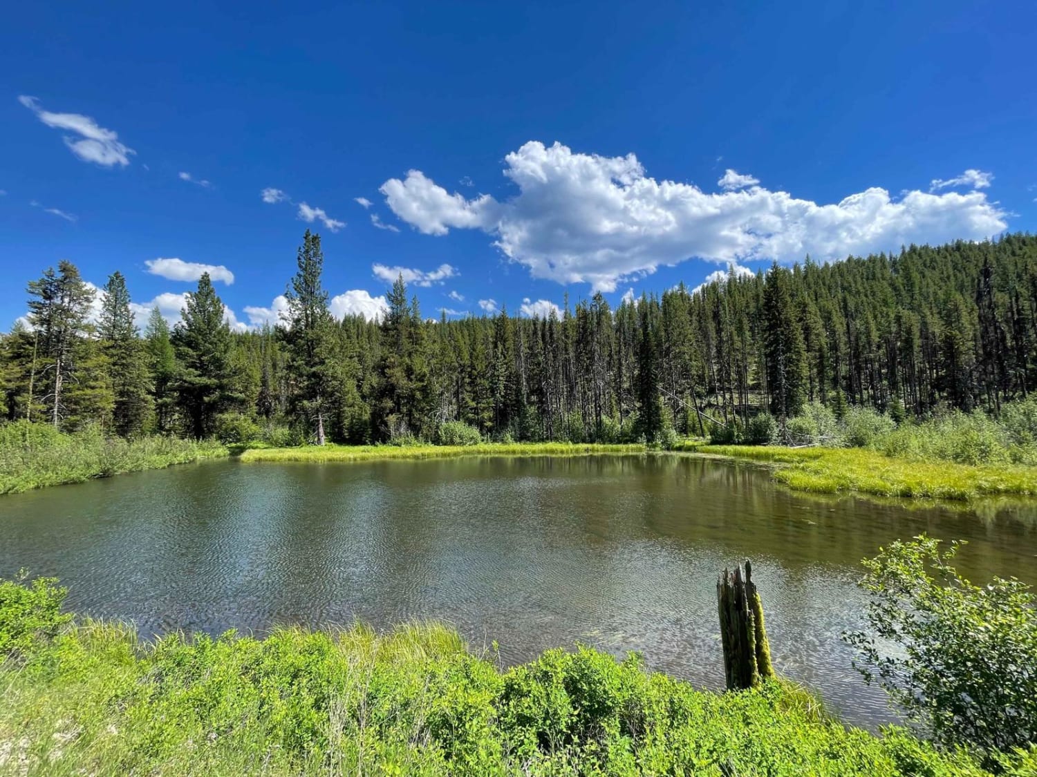
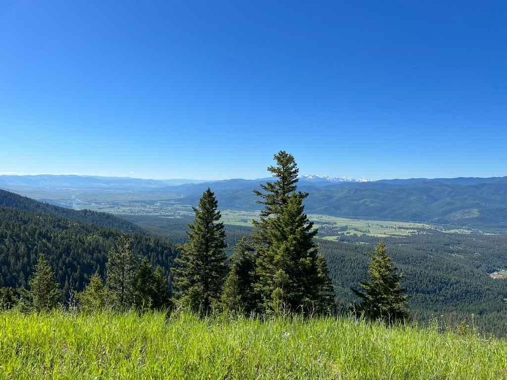
Trail Overview
Beautiful ridgeline trail running up along the side of the mountain. This is a well-maintained dirt and gravel road that is wide enough in most places for two vehicles to pass. There are a few areas in the curves of the switchbacks that would have small waterfalls or running creeks in spring. All of them have good drainage and should not create any washouts in the trail. The higher up the trail goes the more stunning the views down over the valley become. This trail ends and connects up with two other trails. The Lost Horse Observation Point is a short out and back and well worth the extra stop. Connect up with Hays Creek Moose Creek and take it along the top of the ridge, then hop onto Moose Creek/Old Mine Trail to make a loop trail that will head back down and meet up with the beginning of Lost Horse Ridgeline. There is also access to Coyote Coulee Trail for hiking, horseback riding, and mountain biking at the very beginning of this trail with a dirt parking lot off to the right. There may not be winter maintenance.
Photos of Lost Horse Ridgeline Lower


Difficulty
Mostly easy, two cars could pass but some areas will require the use of a pullout to allow the other car to pass.
Status Reports
Lost Horse Ridgeline Lower can be accessed by the following ride types:
- High-Clearance 4x4
- SUV
- SxS (60")
- ATV (50")
- Dirt Bike
Lost Horse Ridgeline Lower Map
Popular Trails

Sweeney Creek Trail
Upper Six Mile 5598 / Main Six West 4223
Bannock Pass and Bannack Ghost Town
The onX Offroad Difference
onX Offroad combines trail photos, descriptions, difficulty ratings, width restrictions, seasonality, and more in a user-friendly interface. Available on all devices, with offline access and full compatibility with CarPlay and Android Auto. Discover what you’re missing today!