FS 5316
Total Miles
16.0
Technical Rating
Best Time
Spring, Summer, Fall, Winter
Trail Type
Full-Width Road
Accessible By
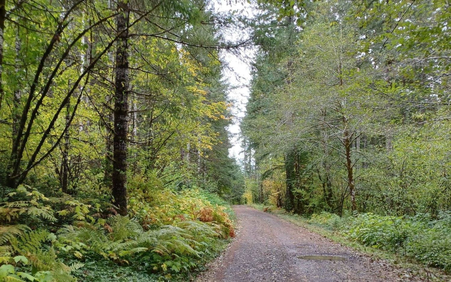
Trail Overview
FS 5316 is a 15.9-mile out-and-back trail branching off FS 53 and winding through the Umatilla National Forest before terminating at a private property boundary 1 mile past Potamus Point. The trail is wide, gravel, and well-maintained with only sparse washboarding and potholes throughout; however, the road surface can become soft when wet. Countless spur trails are available to explore, and stunning views from Potamus Ridge can be enjoyed near the trail's end. The final mile past Potamus Point features brushy sections in some areas, so turning around at Potamus Point is recommended. FS 5316 is accessible year-round.
Photos of FS 5316


Difficulty
A wide gravel road for the vast majority of its length, FS 5316 is suitable for 2WD and low clearance vehicles. Weather conditions, such as rain or snow, can significantly affect the difficulty of this trail. A chainsaw or other equipment for moving fallen trees is highly recommended.
Status Reports
FS 5316 can be accessed by the following ride types:
- High-Clearance 4x4
- SUV
- SxS (60")
- ATV (50")
- Dirt Bike
FS 5316 Map
Popular Trails

Soda Fork - 2041

Island and Link Lakes
Little Hebo Access

Cultus Mountain Trail
The onX Offroad Difference
onX Offroad combines trail photos, descriptions, difficulty ratings, width restrictions, seasonality, and more in a user-friendly interface. Available on all devices, with offline access and full compatibility with CarPlay and Android Auto. Discover what you’re missing today!