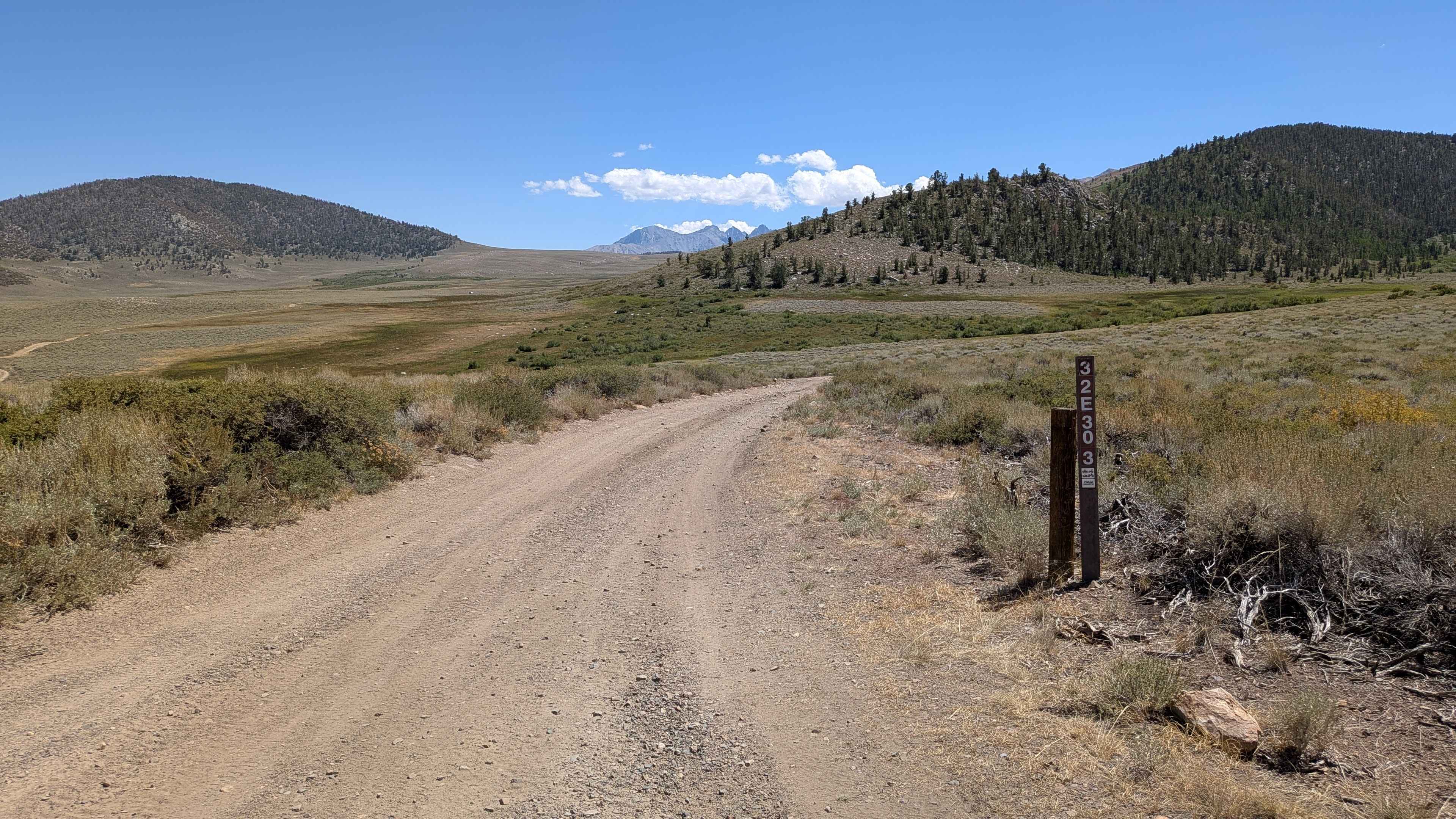
FS 32E303 East
Total Miles
6.4
Technical Rating
Best Time
Summer, Fall
Trail Type
Full-Width Road
Accessible By
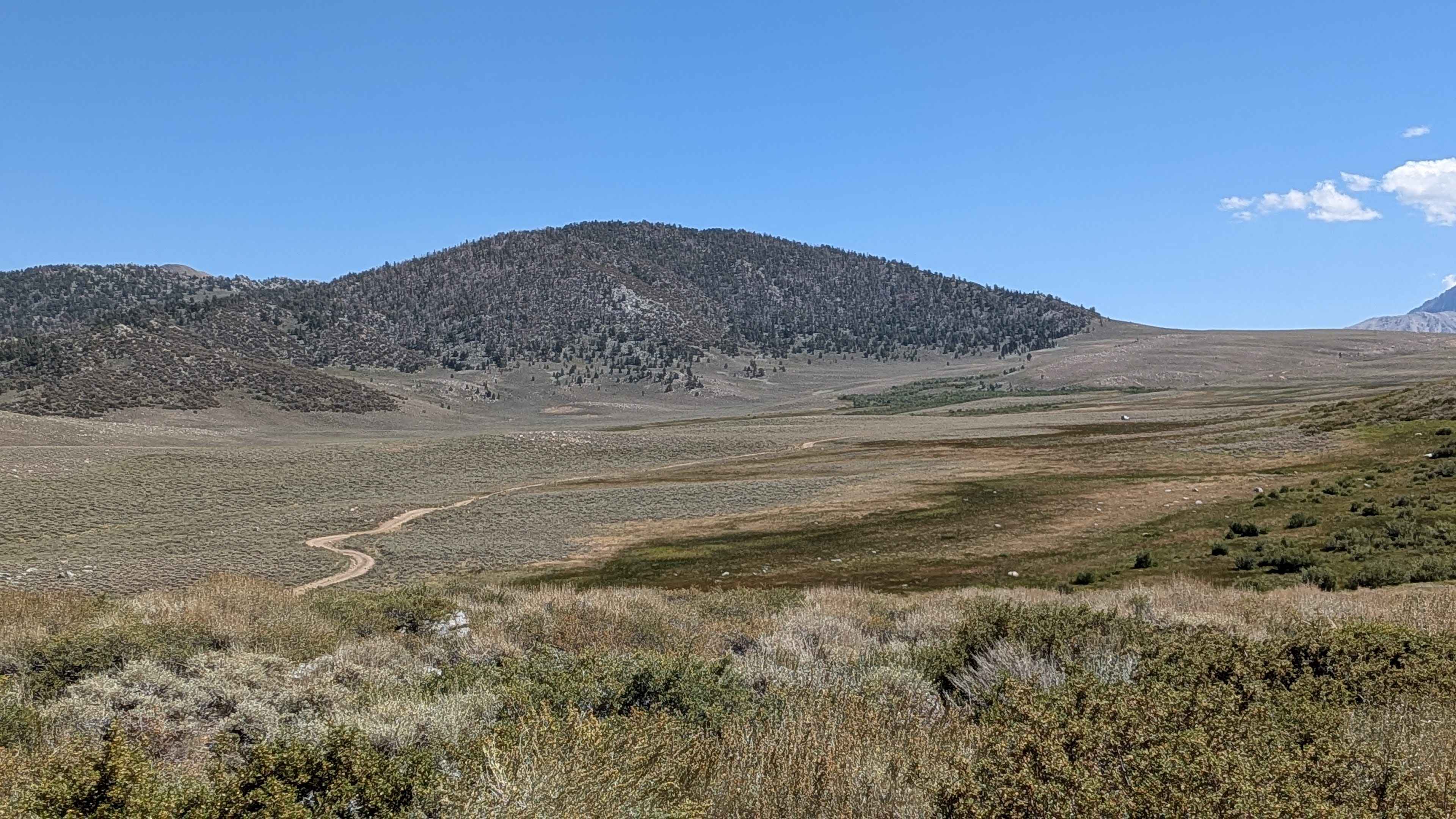
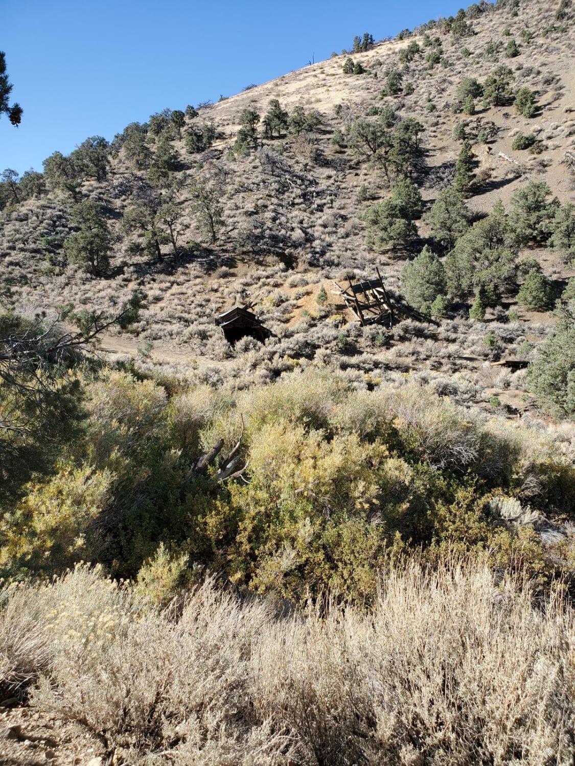
Trail Overview
This route climbs over 1,000 feet and drops just over 300 feet before peaking at 10,308 feet. The trail runs through an open meadow surrounded by hills and the Eastern Sierra Range, offering scenic high-country terrain throughout the journey. Several spur trails branch off for exploration, including Funnel Lake Loop FS 32E304 and FS 32E302. The route ends at a fenced opening. Continuing south gets much more difficult, and 4x4 high clearance vehicles should only attempt.
Photos of FS 32E303 East
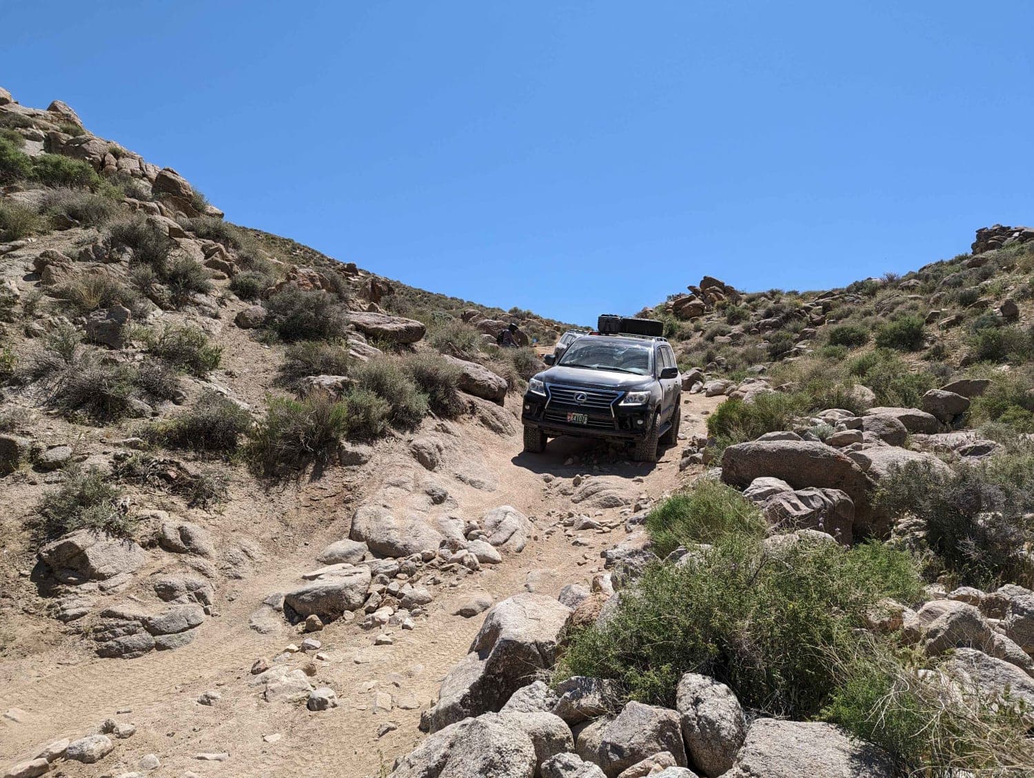
Difficulty
This trail earns a easy-moderate difficulty rating with its sandy surface featuring lots of gravel and some larger rocks. As probably the most heavily used road in the area, it has developed some ruts and off-camber sections that require attention. The trail is mostly sandy with many small rock gardens dispersed throughout the route.
Status Reports
FS 32E303 East can be accessed by the following ride types:
- High-Clearance 4x4
- SUV
- SxS (60")
- ATV (50")
- Dirt Bike
FS 32E303 East Map
Popular Trails
Burned Out Cars Loop
Warm Springs Canyon Road
The onX Offroad Difference
onX Offroad combines trail photos, descriptions, difficulty ratings, width restrictions, seasonality, and more in a user-friendly interface. Available on all devices, with offline access and full compatibility with CarPlay and Android Auto. Discover what you’re missing today!