Ophir Creek Road
Total Miles
8.2
Technical Rating
Best Time
Spring, Summer, Fall
Trail Type
Full-Width Road
Accessible By
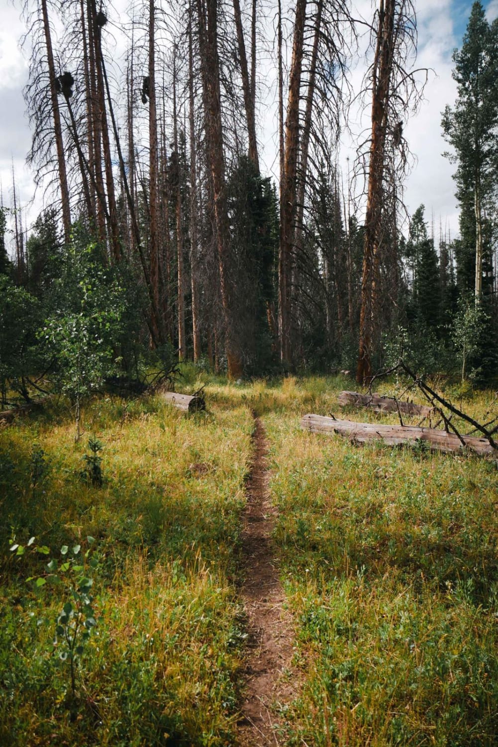
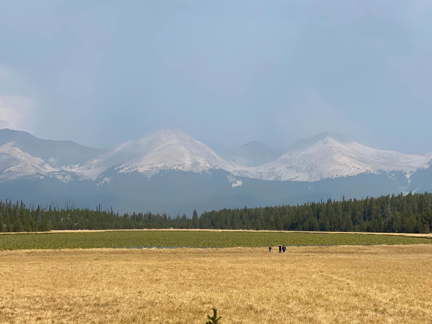
Trail Overview
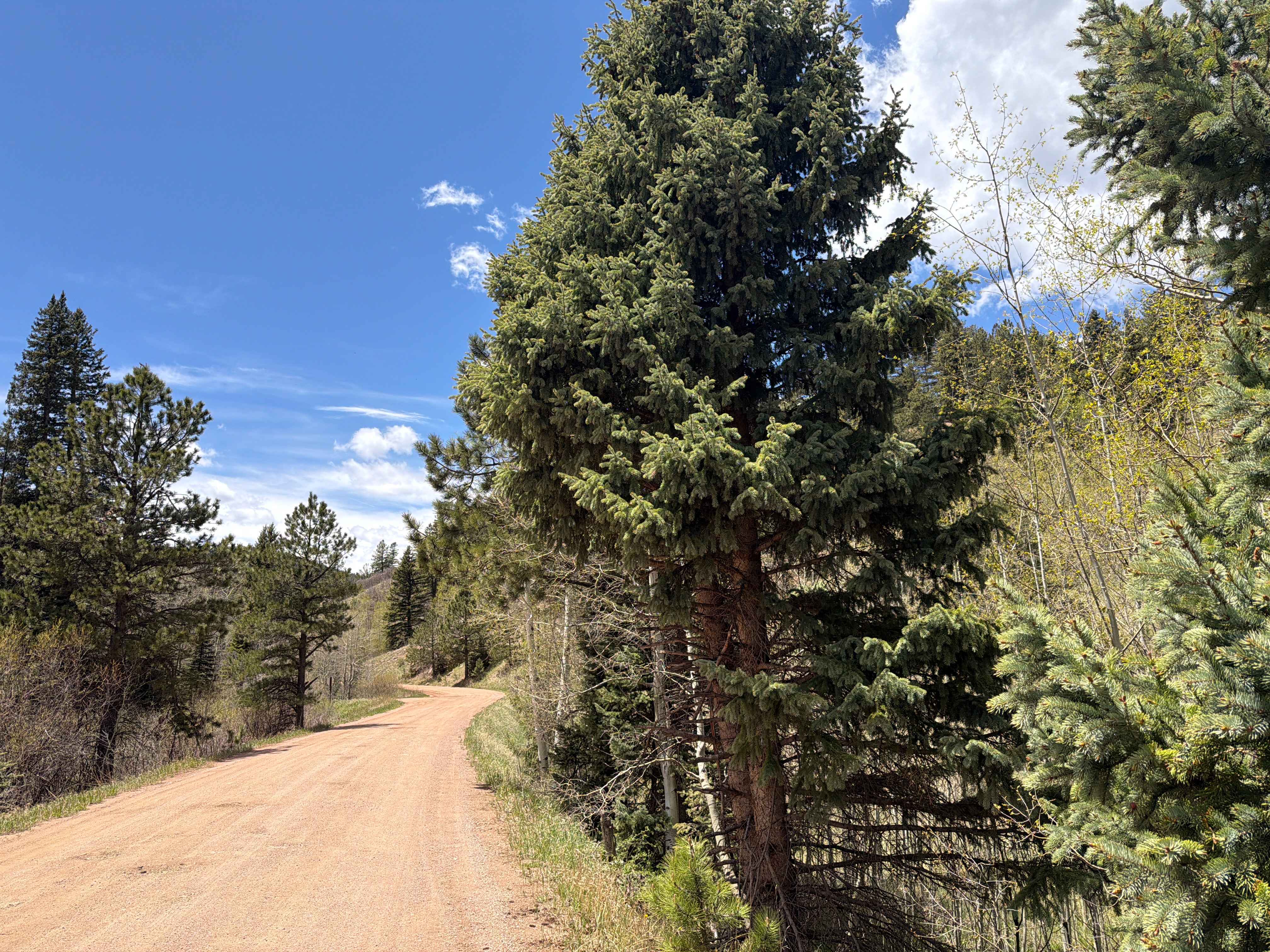
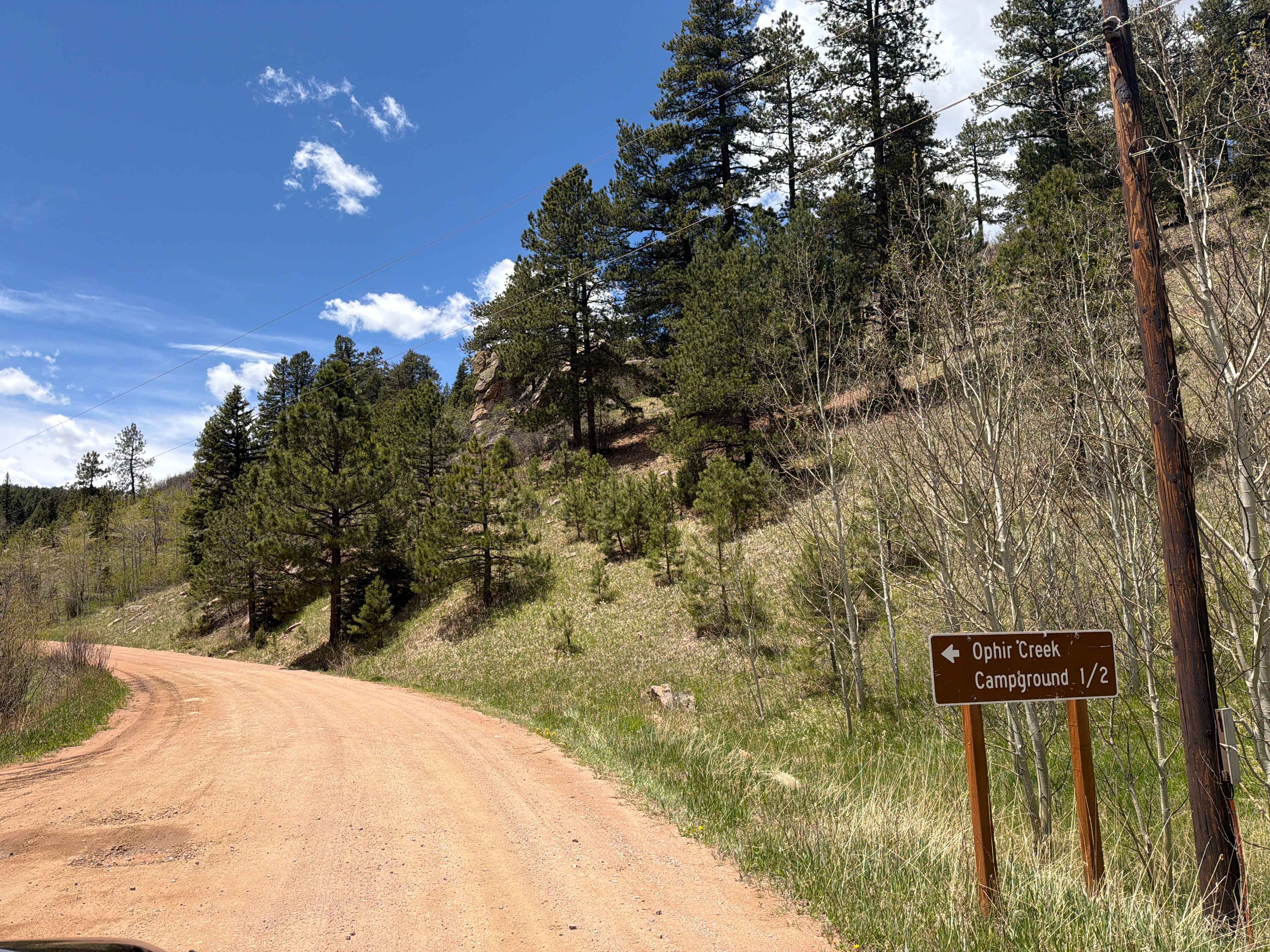
Easy, dirt trail located off Highway 165 in the San Isabel National Forest outside the town of San Isabel, Colorado. The trail is approximately 8.2 miles in length and connects to other trails within the San Isabel National Forest. Ophir Creek Road winds through dense forest, aspen groves, and peaceful mountain terrain with several dispersed camping opportunities along the route. While most of the drive is smooth and suitable for high-clearance vehicles, the trail gradually climbs into the forest before opening to scenic views of the surrounding mountains, including portions of the Sangre de Cristo Range. The road is commonly used for camping, hiking access, wildlife viewing, and enjoying the quiet backcountry atmosphere. All vehicles must display a current state license plate.
Photos of Ophir Creek Road
Difficulty
Easy, smooth dirt trail. All vehicles must display a current state license plate.
Status Reports
Ophir Creek Road can be accessed by the following ride types:
- High-Clearance 4x4
- SUV
Ophir Creek Road Map
Popular Trails
Teton - Kings Ditch Connector
BLM Route 5895
The onX Offroad Difference
onX Offroad combines trail photos, descriptions, difficulty ratings, width restrictions, seasonality, and more in a user-friendly interface. Available on all devices, with offline access and full compatibility with CarPlay and Android Auto. Discover what you’re missing today!