
Dirt Bike Trails
Near Trinity Center, California
Explore All Dirt Bike Trails Near Trinity Center, California
Dirt Bike Trails Near Trinity Center, California
Discover the best dirt bike trails near you. Browse trail maps, check difficulty ratings, and find your next adventure — whether you're looking for a quick ride or an all-day expedition.
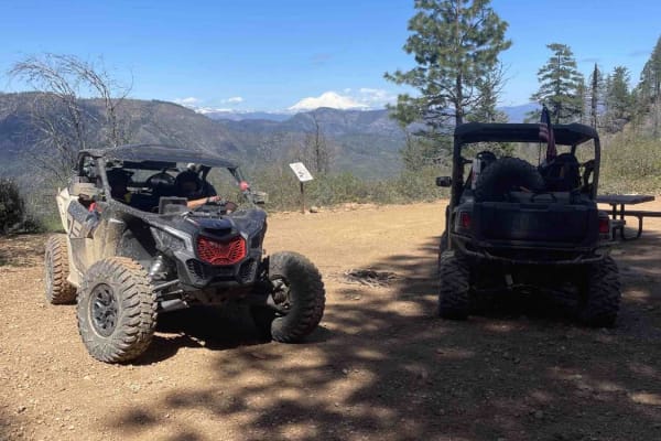
Mammoth Mountain Trail 1
This is a wide-open easy trail from the Chappie staging area, past Mammoth Mountain, to a lunch spot. It's easy for all riding abilities, with a ton of overlooks along the way. During the spring, you will find a lot of waterfalls along the road. This route also goes through several burn scars, which...
Learn more about Mammoth Mountain Trail 1
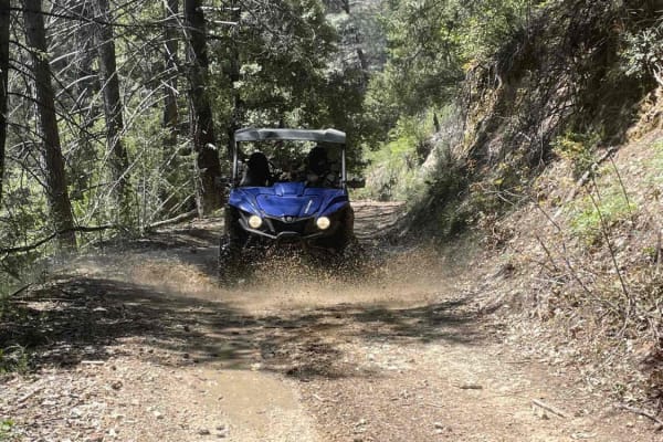
Midway Ridge
This route takes you to the top of Midway Ridge. The trail starts as a nice wide road. The road is maintained very well and follows a mid-slope road. The trail narrows at the first creek crossing and winds through the forest. At this point, it's still easy for a side-by-side or quad. A dirt bike is ...
Learn more about Midway Ridge
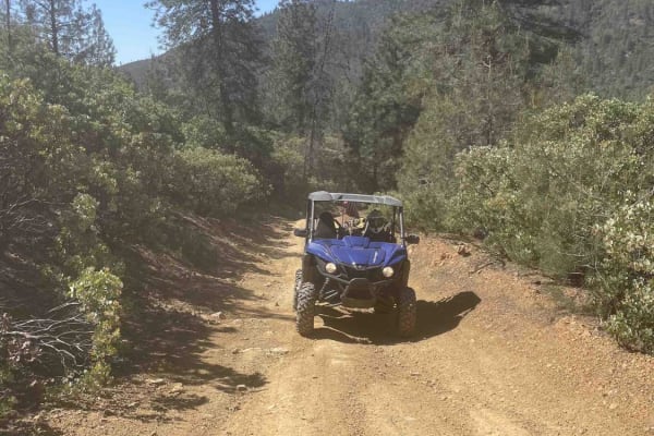
Matheson Trams
This is a fantastic trail located in the Chappie OHV area. Expect beautiful views and a nice trail that can be done in a stock UTV, dirt bike, or 4-wheeler. Be sure to stop and look at Shasta Dam, Iron Mountain Mine, and the old hang glider ramp. Bring a lunch. Multiple places along the trail are wi...
Learn more about Matheson Trams
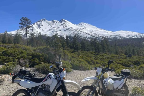
Rocky Road
This is an awesome route that takes you through some timber cuts and up and over some hills into weeds. The road is full of sun with some challenges along the way. Be aware that this route will go all the way through the weeds or to Mount Shasta City, depending on the route of travel.
Learn more about Rocky Road
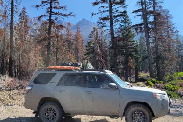
Dill Scenic Trail
The Dill Scenic Trail is an out and back at Shasta National Forest in California. There are great views of Mount Shasta as well as the surrounding mountains. This trail is not difficult by any means, but some higher ground clearance and good tires will go a long way. The trail starts out extremely d...
Learn more about Dill Scenic Trail
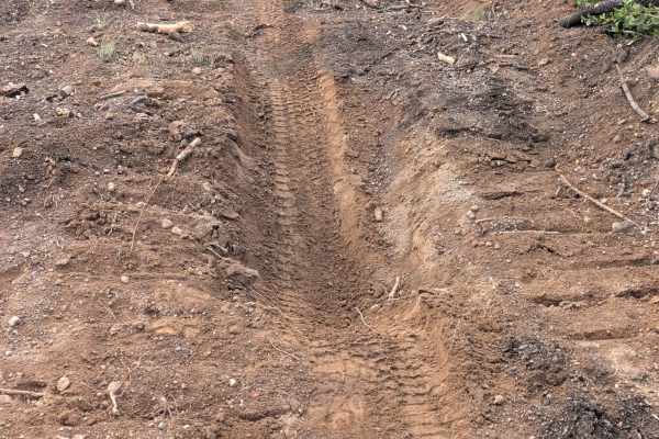
Little Horse Peak - FS 43N42
his 2-mile point-to-point trail serves as a connective route between the False Gap (FS43N51) trail and the Baird Springs (FS43N02) area. Situated within the Klamath National Forest, this route lies deep within the footprint of the 2021 Antelope Forest Fire. While the Forest Service has conducted ini...
Learn more about Little Horse Peak - FS 43N42
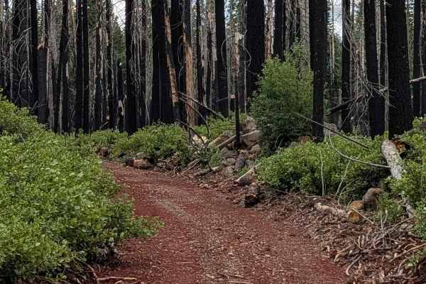
False Gap - FS 43N51
Formerly a 4-mile loop starting and ending on the Little Horse Trail, the False Gap (FS 43N51) route has been significantly altered by the aftermath of the 2021 Antelope Forest Fire. As the Forest Service focused resources on clearing primary arteries, this route was left to become overgrown and has...
Learn more about False Gap - FS 43N51
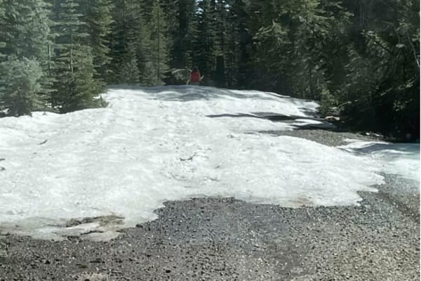
Jack's Backbone
This is a fun drive up through the mountains that will require 4x4 high clearance. However, it does not require lockers. Bring a lunch and enjoy the backcountry, with some great views of valleys and mountains.
Learn more about Jack's Backbone
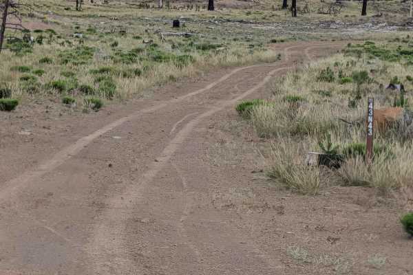
Chipmonk - FS 43N43
This 2-mile loop trail begins and ends on Railroad Grade 77, serving as an accessible route through a landscape defined by the 2021 Antelope Forest Fire. The first section traverses a vast clear-cut area where the fire’s intensity necessitated significant removal of timber, leaving behind expansive ...
Learn more about Chipmonk - FS 43N43
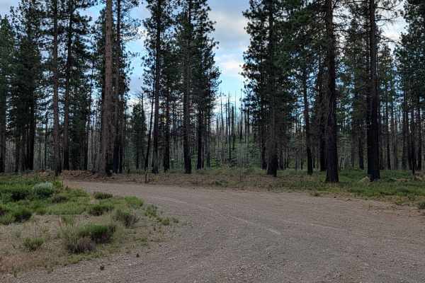
Little Horse - FS 43N03
This trail is just over 4 miles and functions as a point-to-point track, starting on Railroad Grade 77 and ending on Stevens Pass. The trail cuts through the Klamath National Forest in an area affected by the 2021 Antelope Fire, which burned over 154,000 acres. Visitors should check local fire restr...
Learn more about Little Horse - FS 43N03
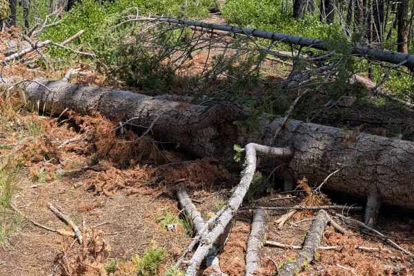
West Garner - FS 43N52
This 6.5-mile out-and-back trail begins and ends at the Pumice Mountain West (FS 43N15) junction. It traverses a stark, post-fire landscape within the Klamath National Forest, deeply impacted by the 2021 Antelope Forest Fire. The terrain is defined by its recovery stage; vegetation is currently spar...
Learn more about West Garner - FS 43N52
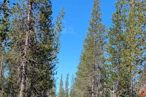
Fisk - FS 43N70
This 2-mile point-to-point trail starts at Table Top FS 43N37 and travels through the Shasta National Forest as a nicely graded route with a dirt and gravel surface approximately one vehicle wide. The trail passes through a young pine forest characterized by little ground flora, creating an open und...
Learn more about Fisk - FS 43N70
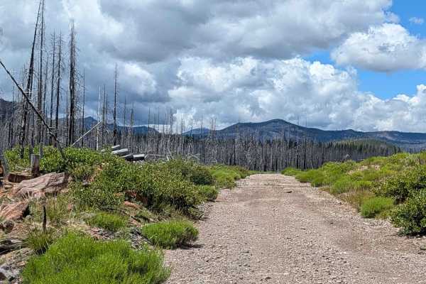
Baird Springs - FS 43N02
This 3.69-mile point-to-point trail acts as a significant transit corridor between Pumice Mountain West and the Lost Springs Trail within the Klamath National Forest. Like much of the surrounding region, it was deeply impacted by the 2021 Antelope Forest Fire. While the route has been successfully c...
Learn more about Baird Springs - FS 43N02
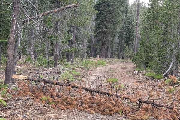
Table Top - FS 43N37
This 3-mile point-to-point trail acts as a critical transit corridor between the Shasta National Forest (starting at the Lost Spring "Pigs Ear" FS 43N04R junction) and the Klamath National Forest (terminating at the Lost Springs FS 43N37 junction). The route traverses a remarkably healthy pine fores...
Learn more about Table Top - FS 43N37
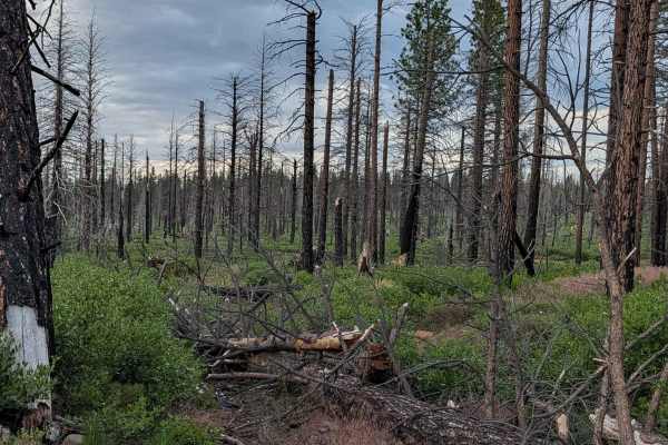
ENow - FS 44N01Y
This 2-mile point-to-point trail is designed to link Railroad Grade 77 with the Ragwort trail system within the Klamath National Forest. Like much of the surrounding area, it passes through the footprint of the 2021 Antelope Forest Fire, which devastated over 154,000 acres. While initial cleanup eff...
Learn more about ENow - FS 44N01Y
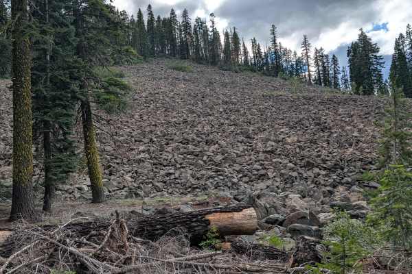
Lost Springs - FS 43N37
This 3.5-mile point-to-point trail acts as a vital transit connector between the Table Top (FS 43N37) and Baird Springs (FS 43N02) trails. Located within the Klamath National Forest, this route winds through a relatively healthy pine forest that stands in pleasant contrast to the surrounding burn zo...
Learn more about Lost Springs - FS 43N37
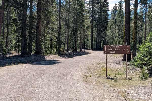
Lost Spring "Pigs Ear" East - FS 43N04
This trail serves as a connector through the Shasta National Forest, beginning at the Volcanic Legacy Scenic Byway (Highway 10) and terminating at the Table Top (FS 43N37) trail. Unlike the fire-ravaged sections common in the surrounding region, this route traverses a healthy forest of young-to-medi...
Learn more about Lost Spring "Pigs Ear" East - FS 43N04
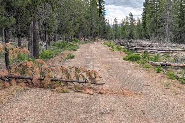
Lower Garner - FS 44N81
This 5.5-mile route acts as a connector between Pumice Mountain West (FS 43N15) and the Horse North (FS 44N08) trail. Located within the Klamath National Forest, the trail traverses a significant portion of the 2021 Antelope Forest Fire burn scar. The landscape is currently defined by sparse ground ...
Learn more about Lower Garner - FS 44N81
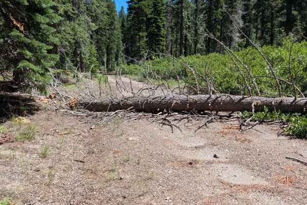
North Paint Pot - FS 43N40
This 2.6-mile point-to-point trail is a scenic route winding through the Shasta National Forest, starting from the Volcanic Legacy Scenic Byway (Highway 15) and terminating at Red Cap (FS 43N08). Characterized by its beautiful forest scenery, the trail offers a visually pleasing drive through a lush...
Learn more about North Paint Pot - FS 43N40
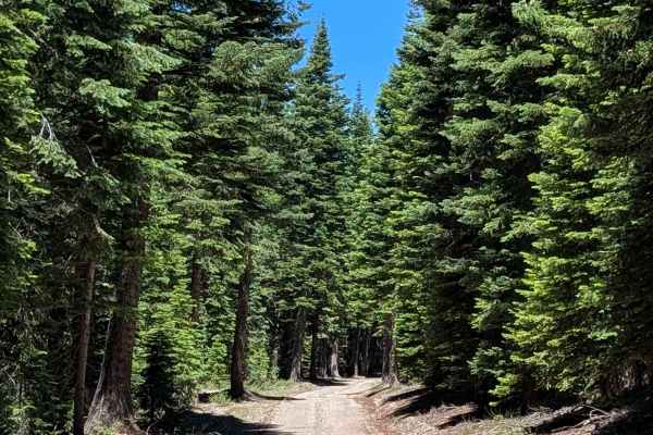
Red Cap - FS 43N08
This 5-plus-mile point-to-point trail is an expansive transit route connecting the Lone Spring "Pigs Ear" East (FS 43N04) area to the FS 43N08X junction near Pumice Mountain East. The trail predominantly winds through the mature pine stands of the Shasta National Forest, characterized by sparse grou...
Learn more about Red Cap - FS 43N08
ATV trails near Trinity Center, California
Explore ATV-friendly trails near you. These trails are accessible for vehicles up to 50 inches wide, perfect for ATVs and smaller off-road machines.
Mammoth Mountain Trail 1
This is a wide-open easy trail from the Chappie staging area, past Mammoth Mountain, to a lunch spot. It's easy for all riding abilities, with a ton of overlooks along the way. During the spring, you will find a lot of waterfalls along the road. This route also goes through several burn scars, which...
Learn more about Mammoth Mountain Trail 1
Midway Ridge
This route takes you to the top of Midway Ridge. The trail starts as a nice wide road. The road is maintained very well and follows a mid-slope road. The trail narrows at the first creek crossing and winds through the forest. At this point, it's still easy for a side-by-side or quad. A dirt bike is ...
Learn more about Midway Ridge
Matheson Trams
This is a fantastic trail located in the Chappie OHV area. Expect beautiful views and a nice trail that can be done in a stock UTV, dirt bike, or 4-wheeler. Be sure to stop and look at Shasta Dam, Iron Mountain Mine, and the old hang glider ramp. Bring a lunch. Multiple places along the trail are wi...
Learn more about Matheson Trams
Rocky Road
This is an awesome route that takes you through some timber cuts and up and over some hills into weeds. The road is full of sun with some challenges along the way. Be aware that this route will go all the way through the weeds or to Mount Shasta City, depending on the route of travel.
Learn more about Rocky Road
UTV/side-by-side trails near Trinity Center, California
Find UTV and side-by-side trails near you. These trails accommodate vehicles up to 60 inches wide, ideal for UTVs, side-by-sides, and wider off-road rigs.
Mammoth Mountain Trail 1
This is a wide-open easy trail from the Chappie staging area, past Mammoth Mountain, to a lunch spot. It's easy for all riding abilities, with a ton of overlooks along the way. During the spring, you will find a lot of waterfalls along the road. This route also goes through several burn scars, which...
Learn more about Mammoth Mountain Trail 1
Midway Ridge
This route takes you to the top of Midway Ridge. The trail starts as a nice wide road. The road is maintained very well and follows a mid-slope road. The trail narrows at the first creek crossing and winds through the forest. At this point, it's still easy for a side-by-side or quad. A dirt bike is ...
Learn more about Midway Ridge
Matheson Trams
This is a fantastic trail located in the Chappie OHV area. Expect beautiful views and a nice trail that can be done in a stock UTV, dirt bike, or 4-wheeler. Be sure to stop and look at Shasta Dam, Iron Mountain Mine, and the old hang glider ramp. Bring a lunch. Multiple places along the trail are wi...
Learn more about Matheson Trams
Rocky Road
This is an awesome route that takes you through some timber cuts and up and over some hills into weeds. The road is full of sun with some challenges along the way. Be aware that this route will go all the way through the weeds or to Mount Shasta City, depending on the route of travel.
Learn more about Rocky Road
The onX Offroad Difference
onX Offroad combines trail photos, descriptions, difficulty ratings, width restrictions, seasonality, and more in a user-friendly interface. Available on all devices, with offline access and full compatibility with CarPlay and Android Auto. Discover what you're missing today!
Open Trail Map