Trail Overview
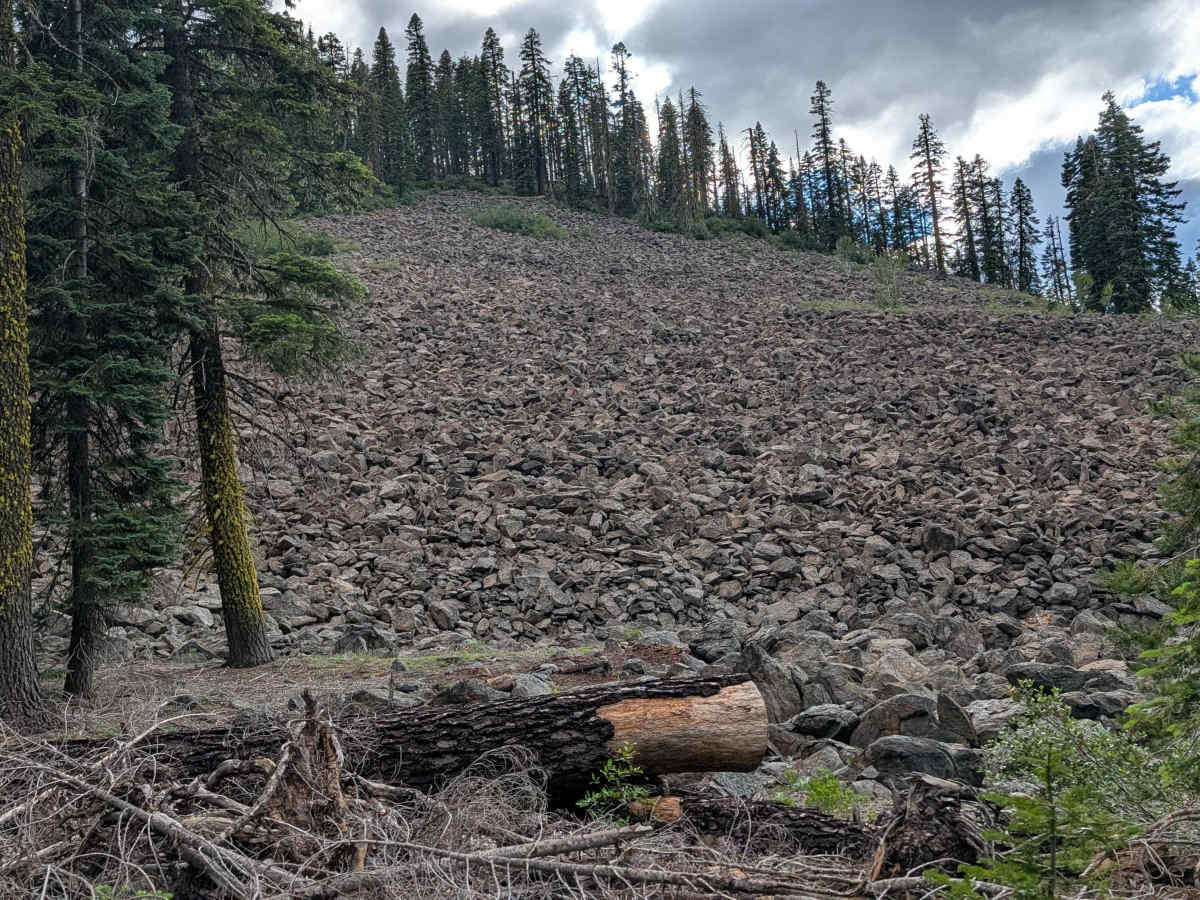
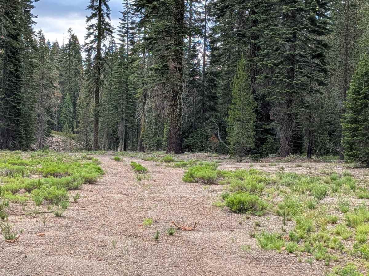
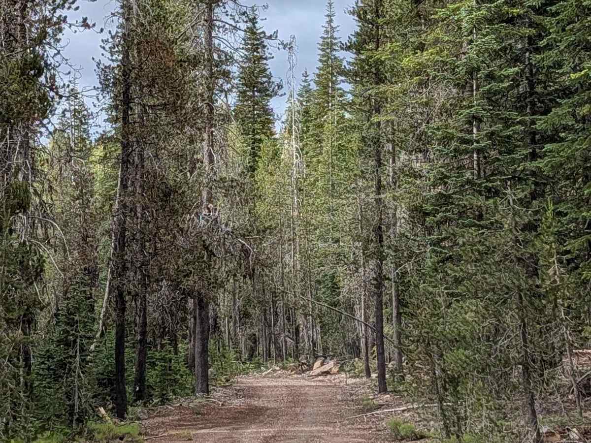
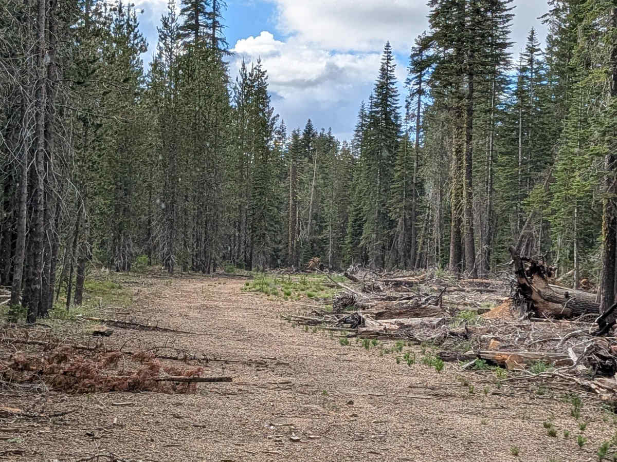
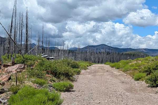
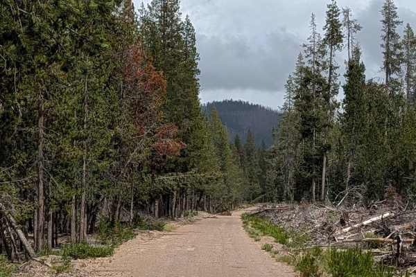
This 3.5-mile point-to-point trail acts as a vital transit connector between the Table Top (FS 43N37) and Baird Springs (FS 43N02) trails. Located within the Klamath National Forest, this route winds through a relatively healthy pine forest that stands in pleasant contrast to the surrounding burn zones. The landscape is characterized by open corridors and a sparse ground cover, providing a clean, forested aesthetic. As a higher-rated trail, it serves as a more demanding route that requires active driving and vehicle preparation, offering a rugged backcountry experience that feels isolated and pristine.
Difficulty
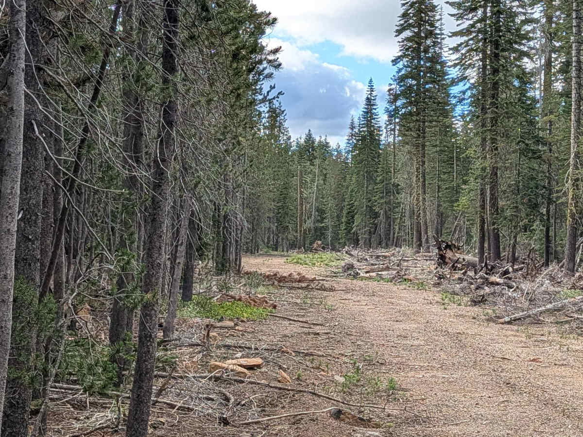
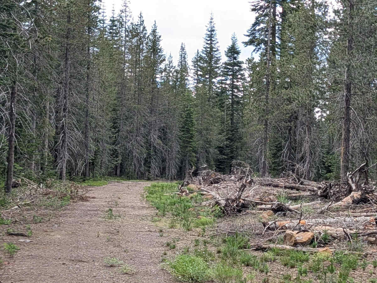
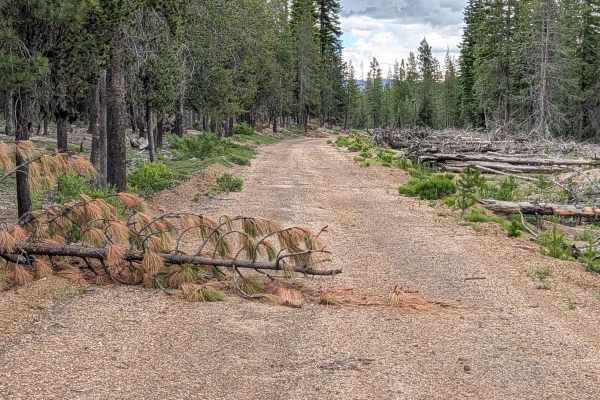
Carrying a rating of 4, this is a technical route that demands both driver skill and vehicle capability. The surface consists of loose dirt and gravel, but the true challenge lies in the significant debris load. You will encounter numerous logs—some up to 18 inches thick—that must be crossed or maneuvered around. This requires a vehicle with substantial ground clearance and approach/departure angles. Additionally, the trail is cluttered with branches and woody debris that necessitate careful line selection to avoid body damage. A rating of 4 implies that this is not a casual forest road; be prepared for slow, deliberate progress and the potential necessity of using recovery gear or tools to clear smaller debris.