Trail Overview
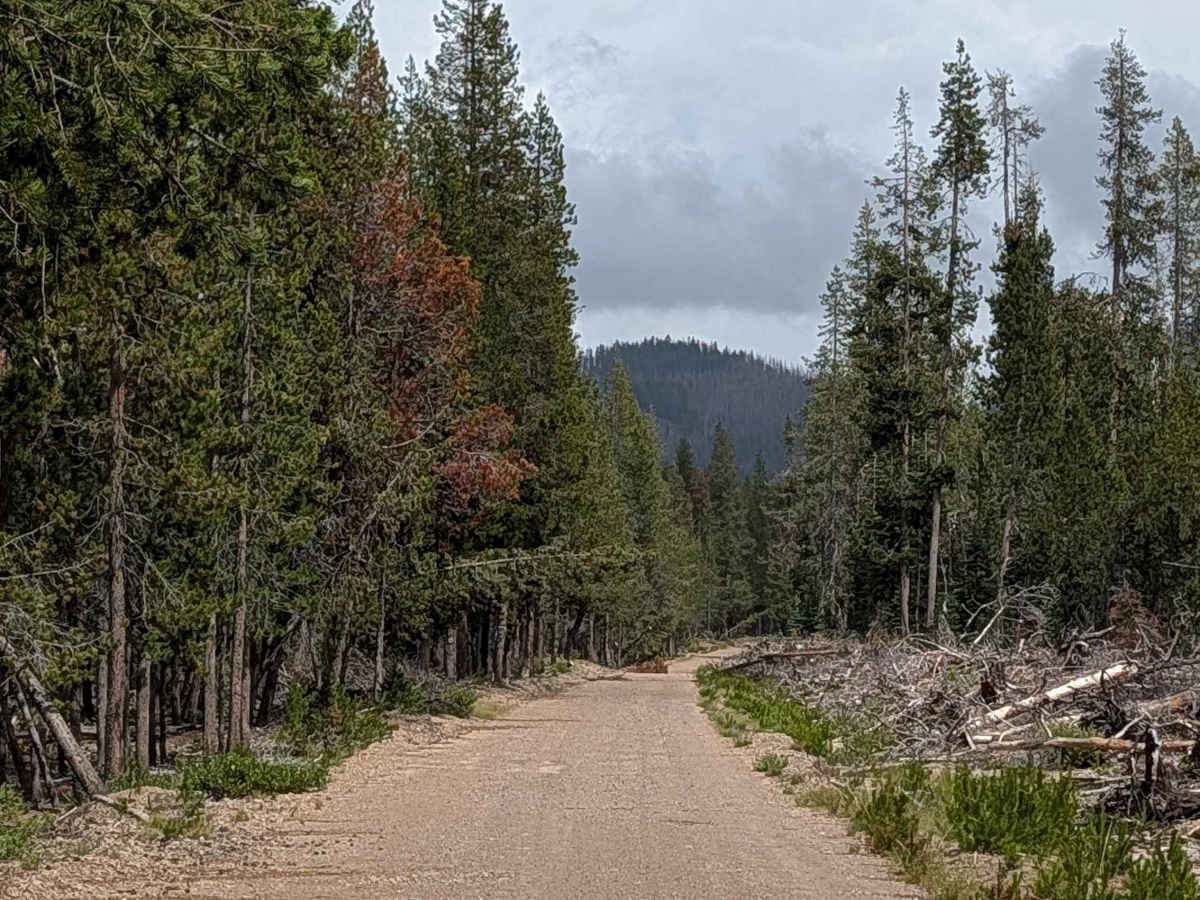
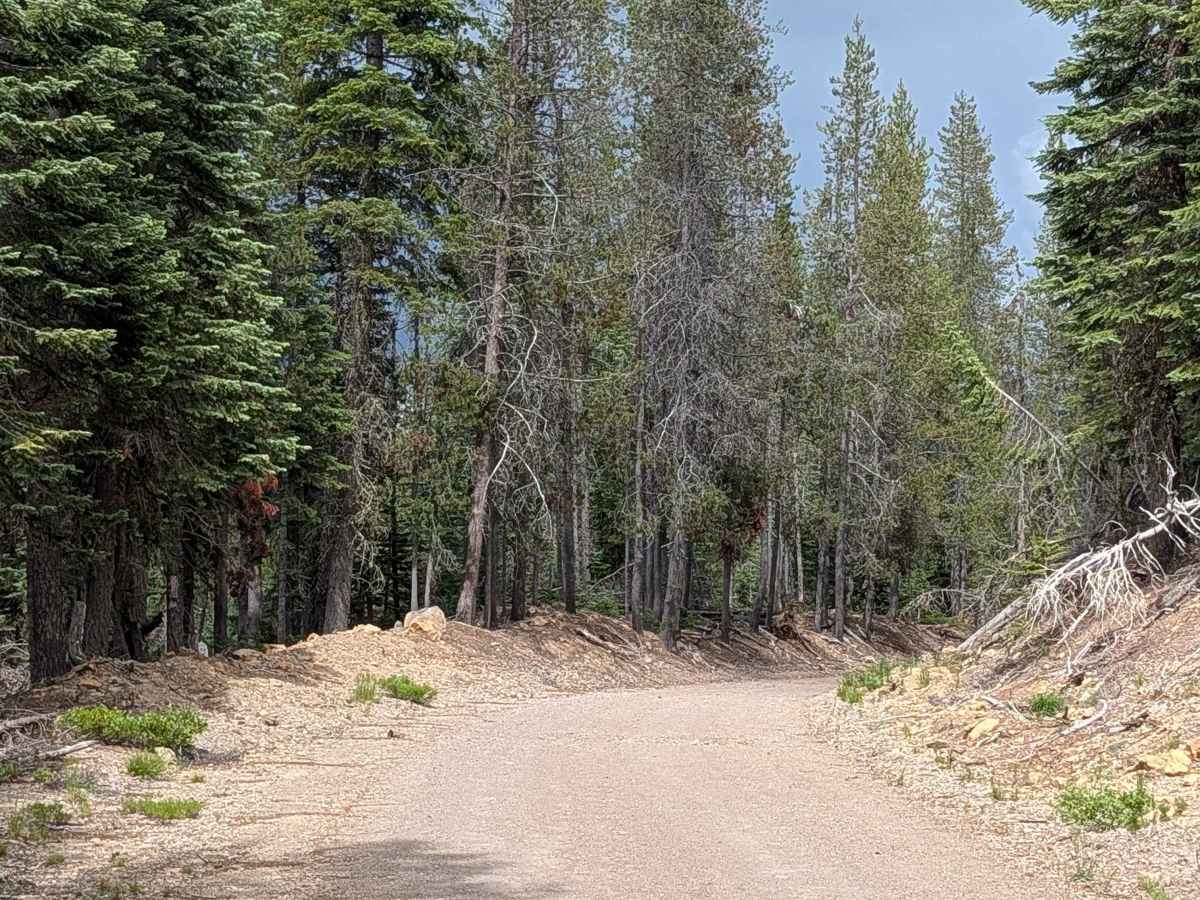
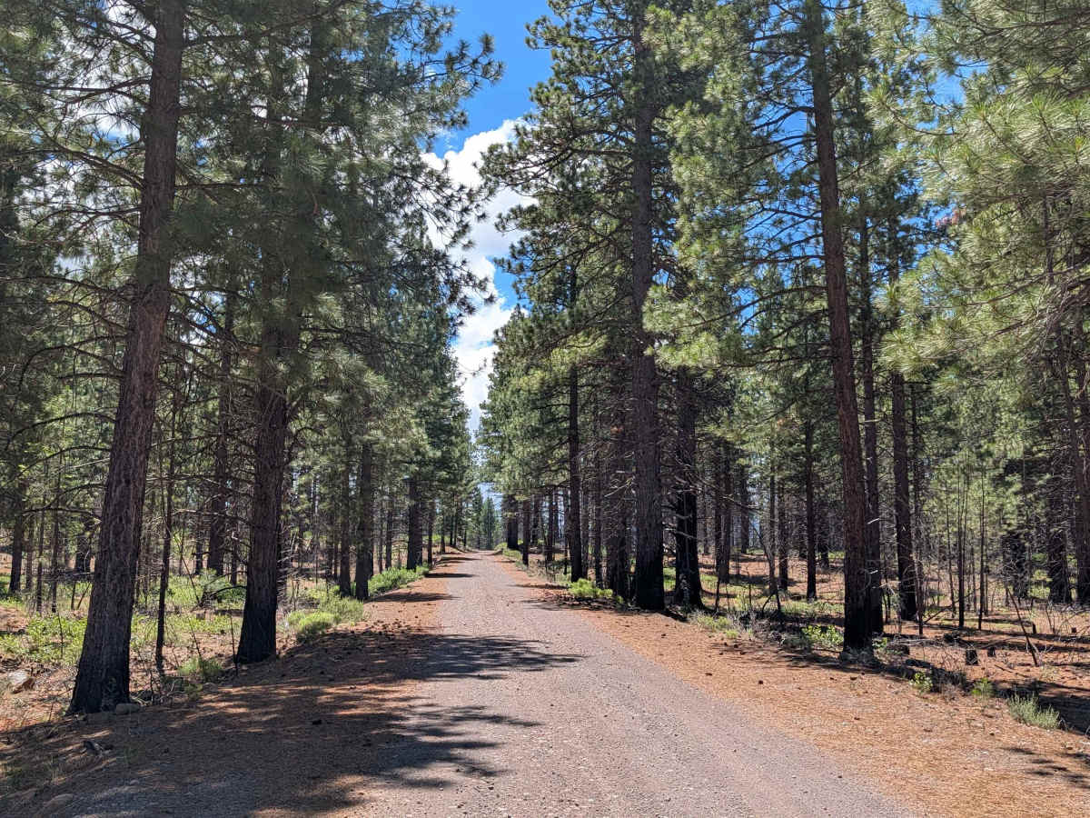
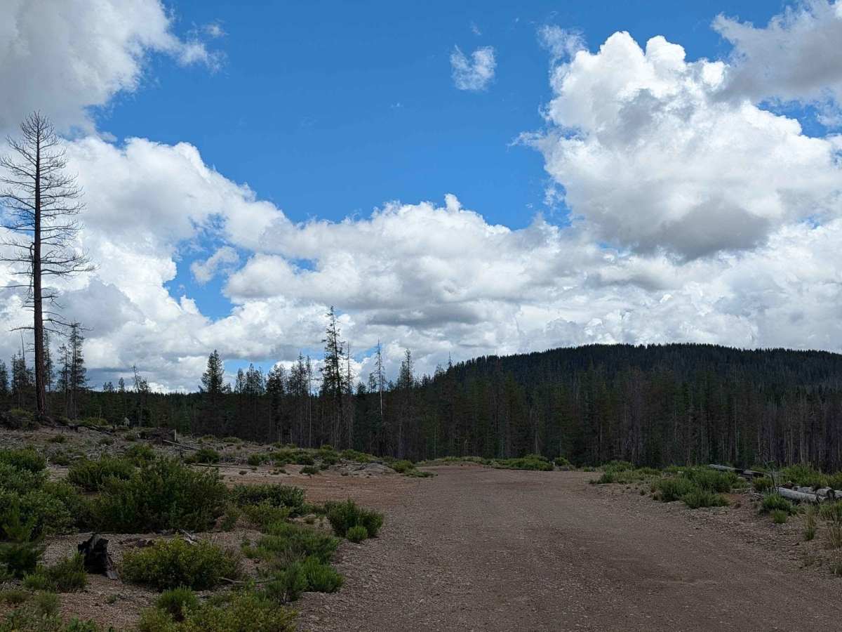
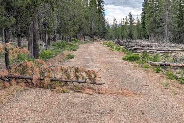
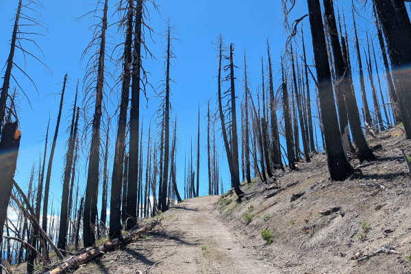
This 6-mile point-to-point trail starts at Railroad Grade 77 and ends at the junction of Pot Hunter FS 43N38 and Pumice Mountain East FS 43N15, serving as one of the main east-to-west trails in the area. The trail cuts through the Klamath National Forest with a surface of hard dirt and some gravel, maintaining a width of approximately one and a half vehicles throughout the route. This trail passes through the area devastated by the 2021 Antelope Fire, which burned over 154,000 acres in the region. Ground cover has since regrown, primarily consisting of manzanita along with other flora, showing the landscape's ongoing recovery from the fire's impact. This regrowth creates a distinctive post-fire ecosystem visible throughout much of the route.
Difficulty
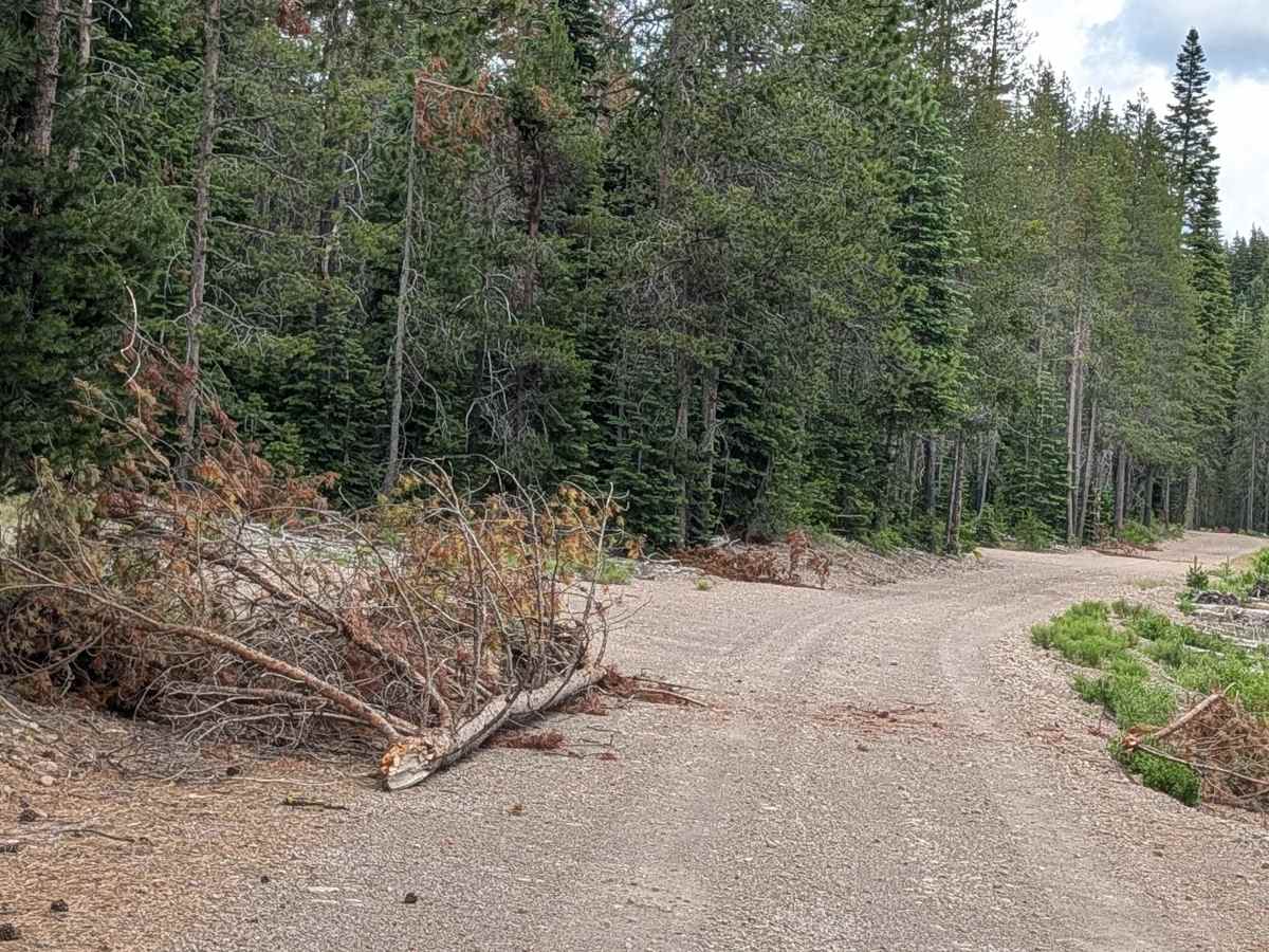
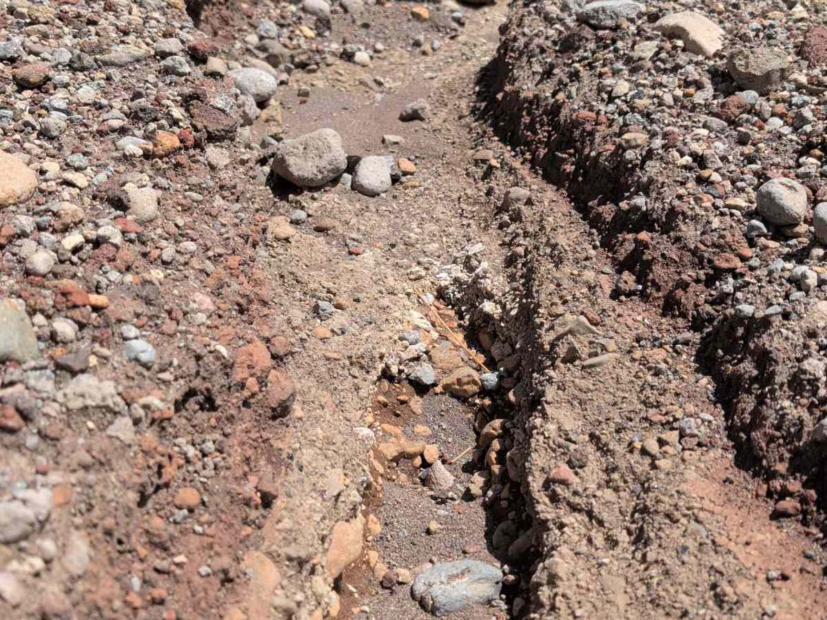
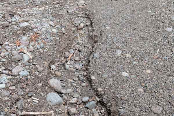
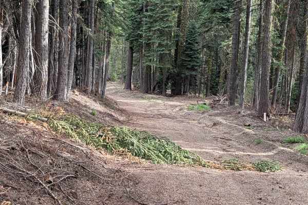
Drivers will encounter some ruts up to 12 inches throughout the trail, requiring attention to tire placement in these sections. Trees down across the trail may require navigation around or over obstacles, and the route can become narrow at times, particularly where fallen trees or regrowth vegetation encroach on the trail corridor.