Coyote - FS 43N36

Total Miles1.3
Technical Rating
2Easy
Best TimeFall, Spring
Trail TypeFull-Width Road
Accessible By
Open Trail Map

Trail Overview

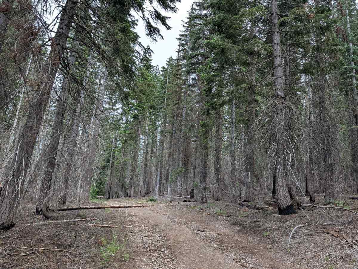
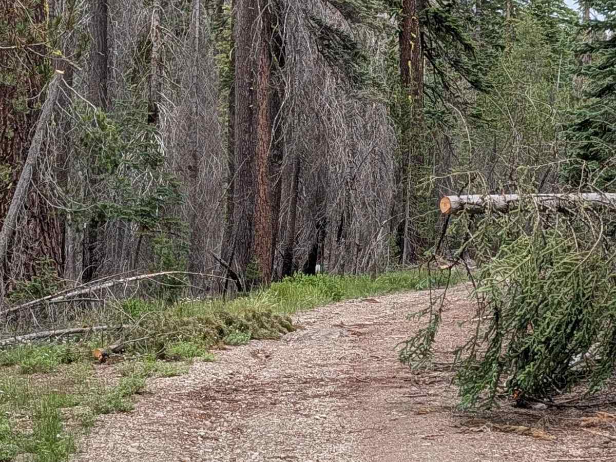
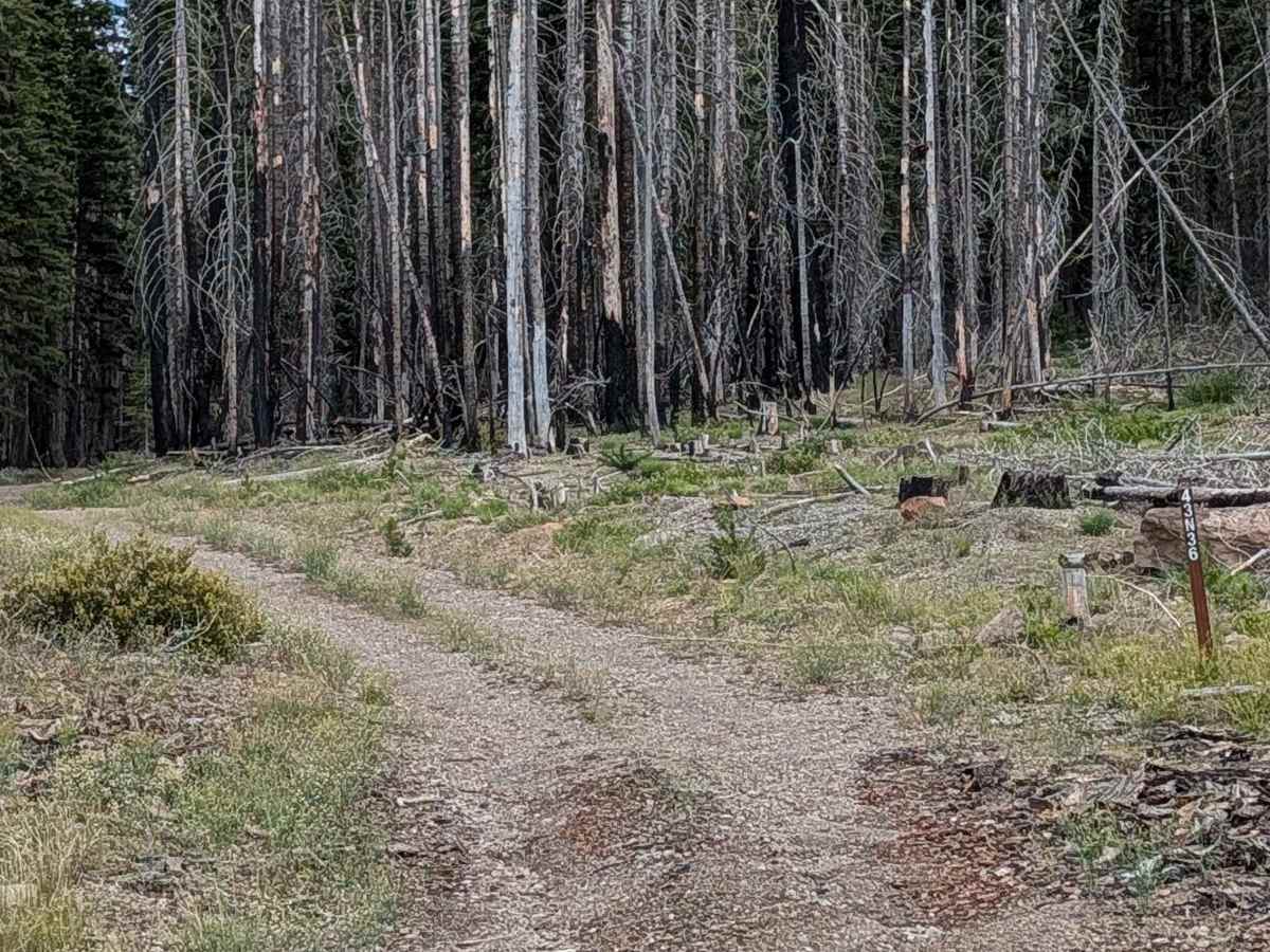
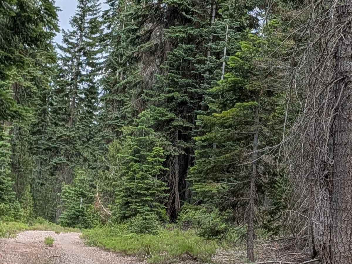
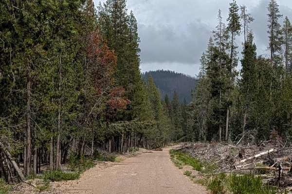
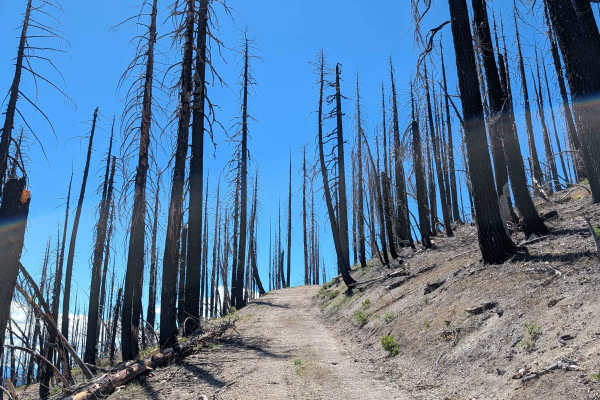
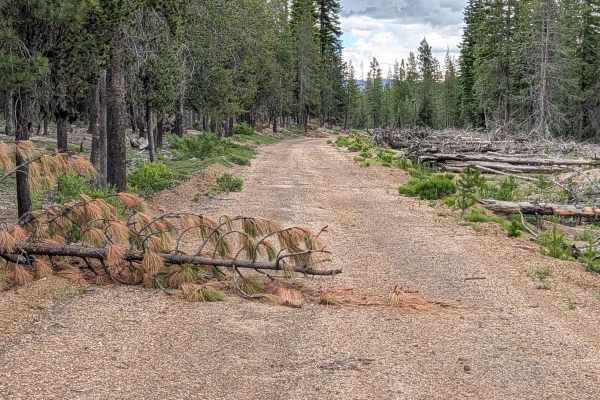
This short, 1-mile point-to-point trail acts as a vital transition route between Pumice Mountain East and the Shasta National Forest. The trail serves as a steep, technical climb, gaining over 450 feet in elevation as it skirts Tamarack Peak, eventually providing access to Red Camp Mountain. Located primarily within the Klamath National Forest, the route runs along the perimeter of the massive 2021 Antelope Forest Fire burn zone. This "edge" location provides a unique vantage point to witness the contrast between fire-impacted areas and the untouched stands of forest that survived the blaze.

Photos of Coyote - FS 43N36

Difficulty

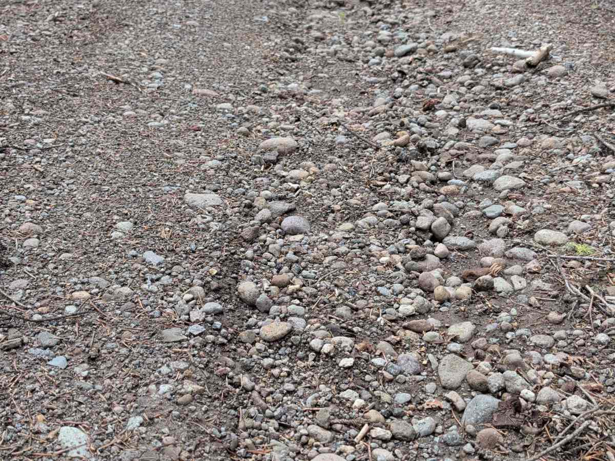
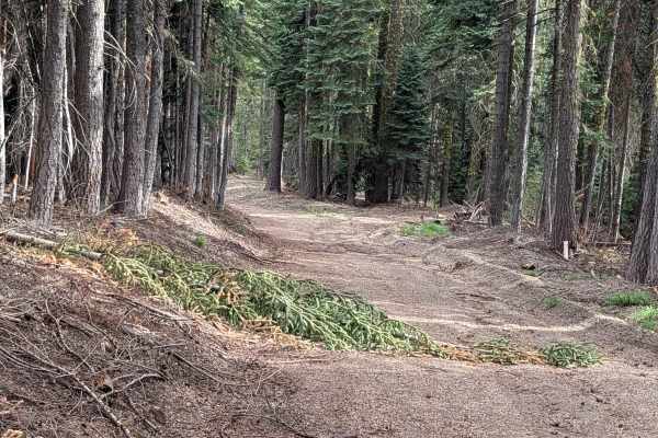
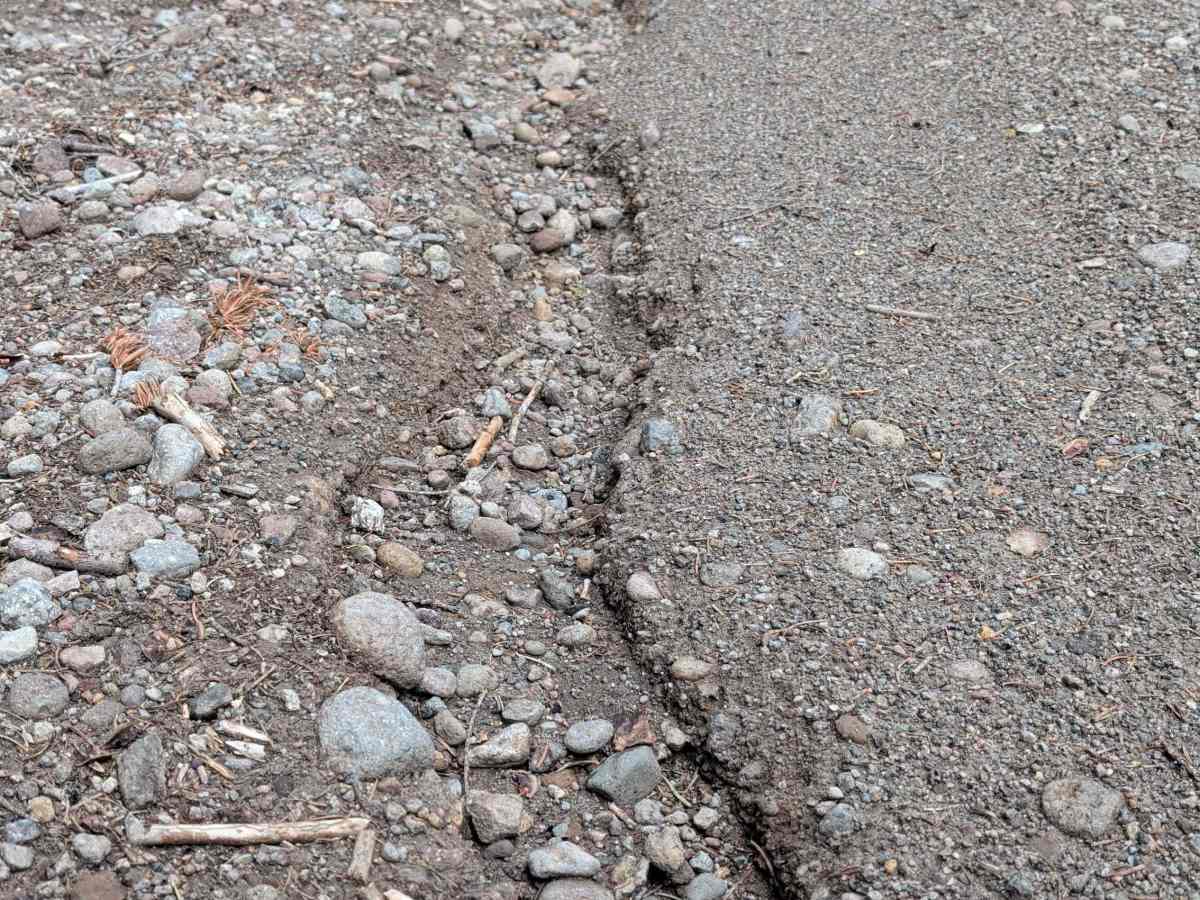
Carrying a rating of 2, this trail is a steady, immediate climb from the start. The surface is a mix of dirt and gravel, which can be loose under acceleration. You will encounter small ruts across the hill sections and throughout the trail bed, typically measuring under 12 inches in depth. Due to the incline and the presence of these ruts, high clearance is recommended to maintain steady momentum and avoid dragging your undercarriage on the steeper pitches.

Technical Rating

2

Coyote - FS 43N36 Trail can be accessed by the following ride types:

  • Single Track
  • 50 Inch
  • 60 Inch
  • High Clearance
  • Full Width

Coyote - FS 43N36 Map

The onX Offroad Difference

onX Offroad combines trail photos, descriptions, difficulty ratings, width restrictions, seasonality, and more in a user-friendly interface. Available on all devices, with offline access and full compatibility with CarPlay and Android Auto. Discover what you're missing today!

Open Trail Map