Trail Overview
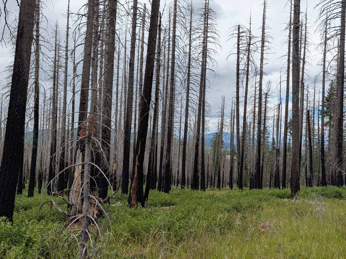
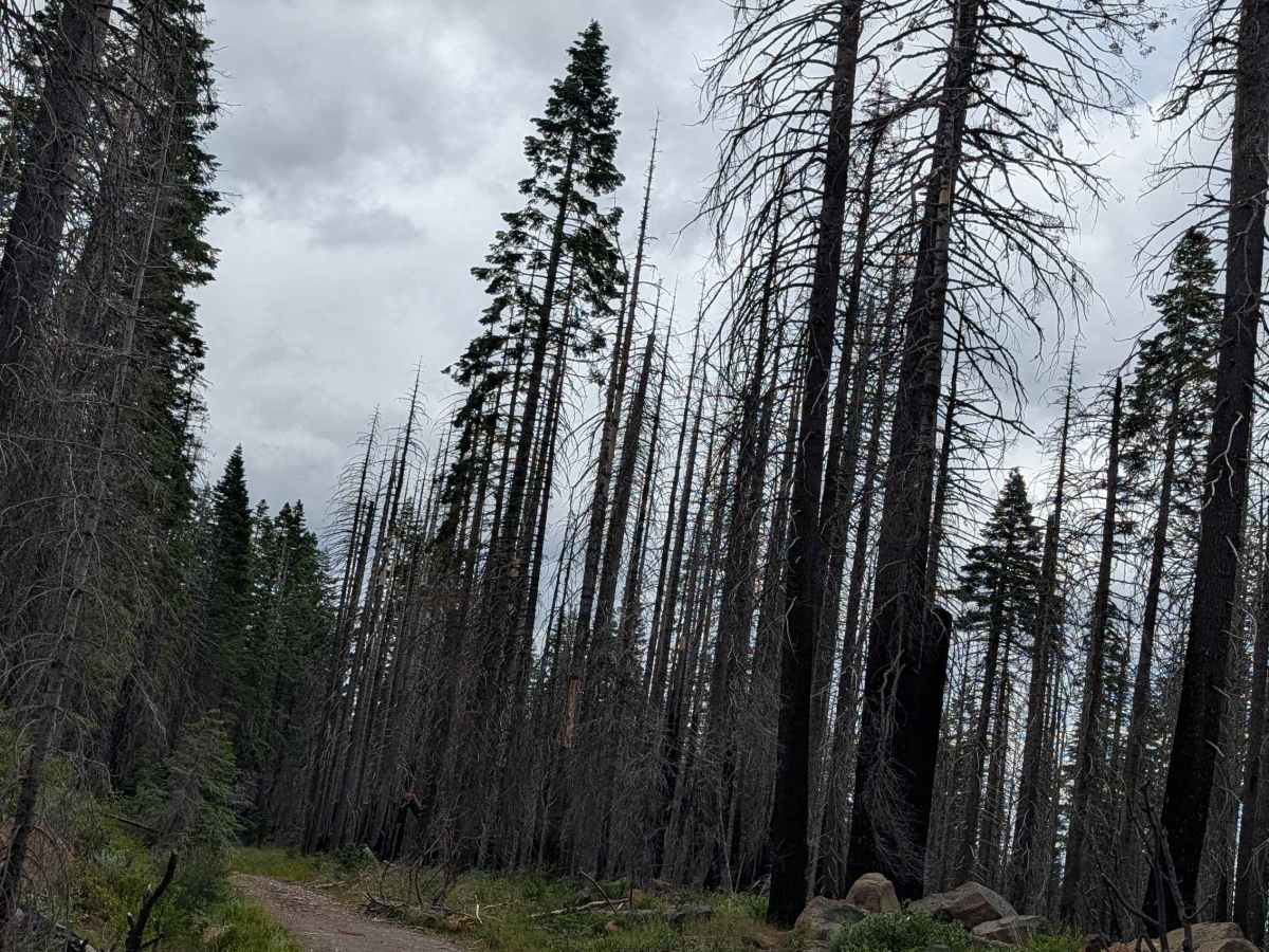
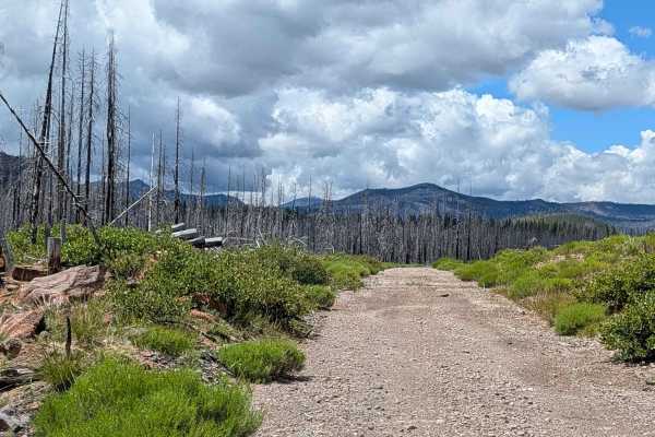
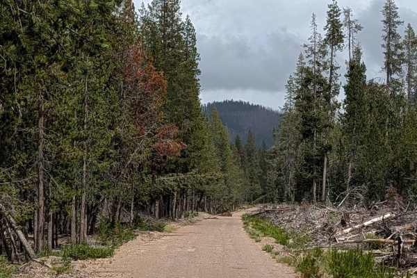
This 5.5-mile route acts as a connector between Pumice Mountain West (FS 43N15) and the Horse North (FS 44N08) trail. Located within the Klamath National Forest, the trail traverses a significant portion of the 2021 Antelope Forest Fire burn scar. The landscape is currently defined by sparse ground cover—mostly grasses and scattered shrubs—resulting from the massive fire event. Despite the devastation, the clearing of the canopy provides expansive, unobstructed views. From the south side, roughly at the one-mile mark, travelers are treated to spectacular vistas of the valley below and a series of dramatic mountain ridges.
Difficulty
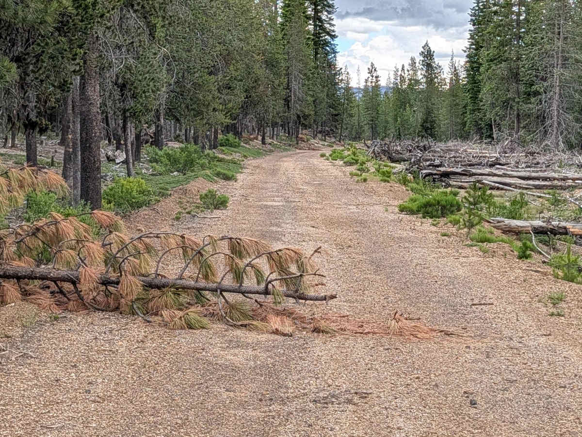
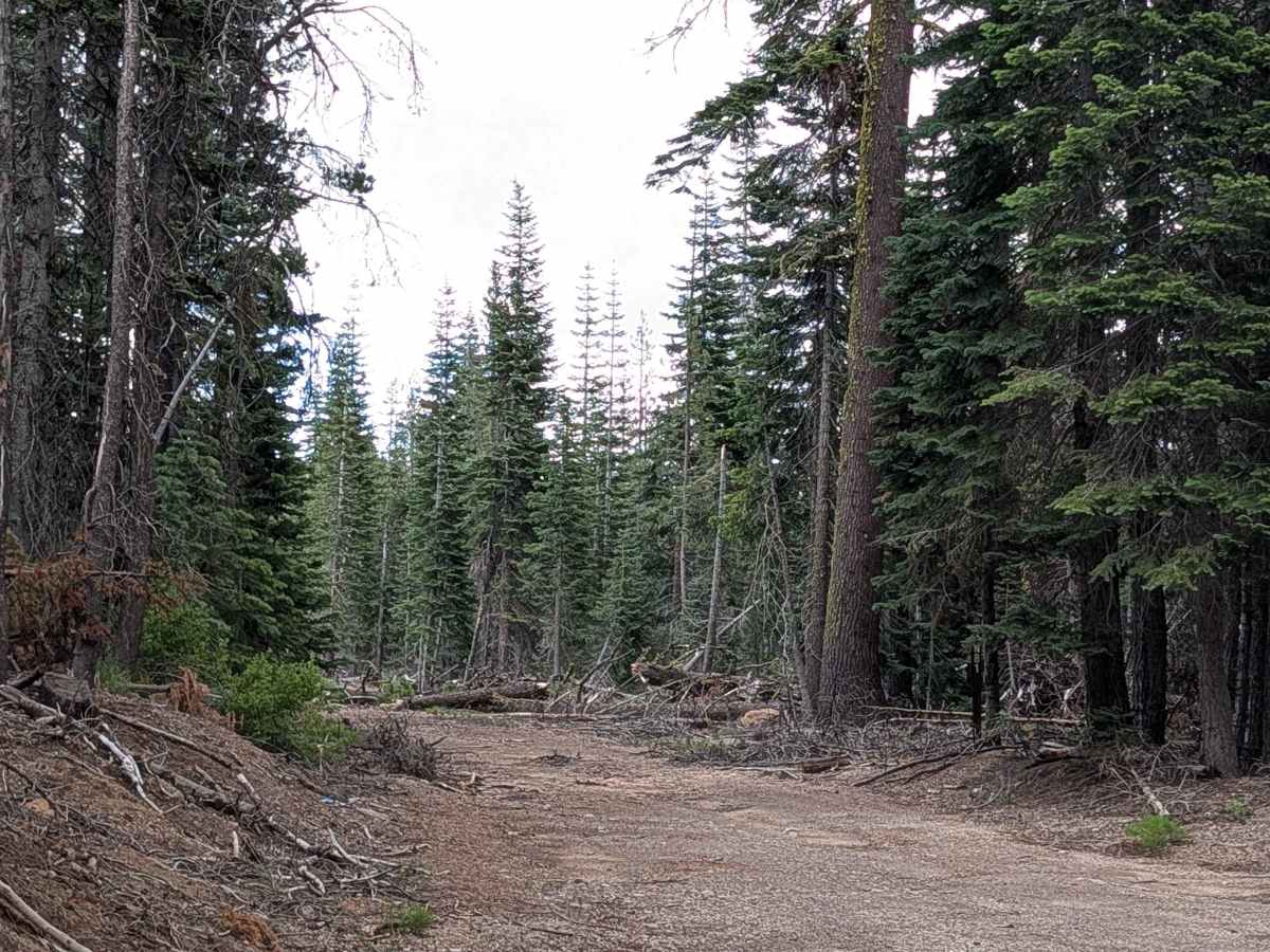
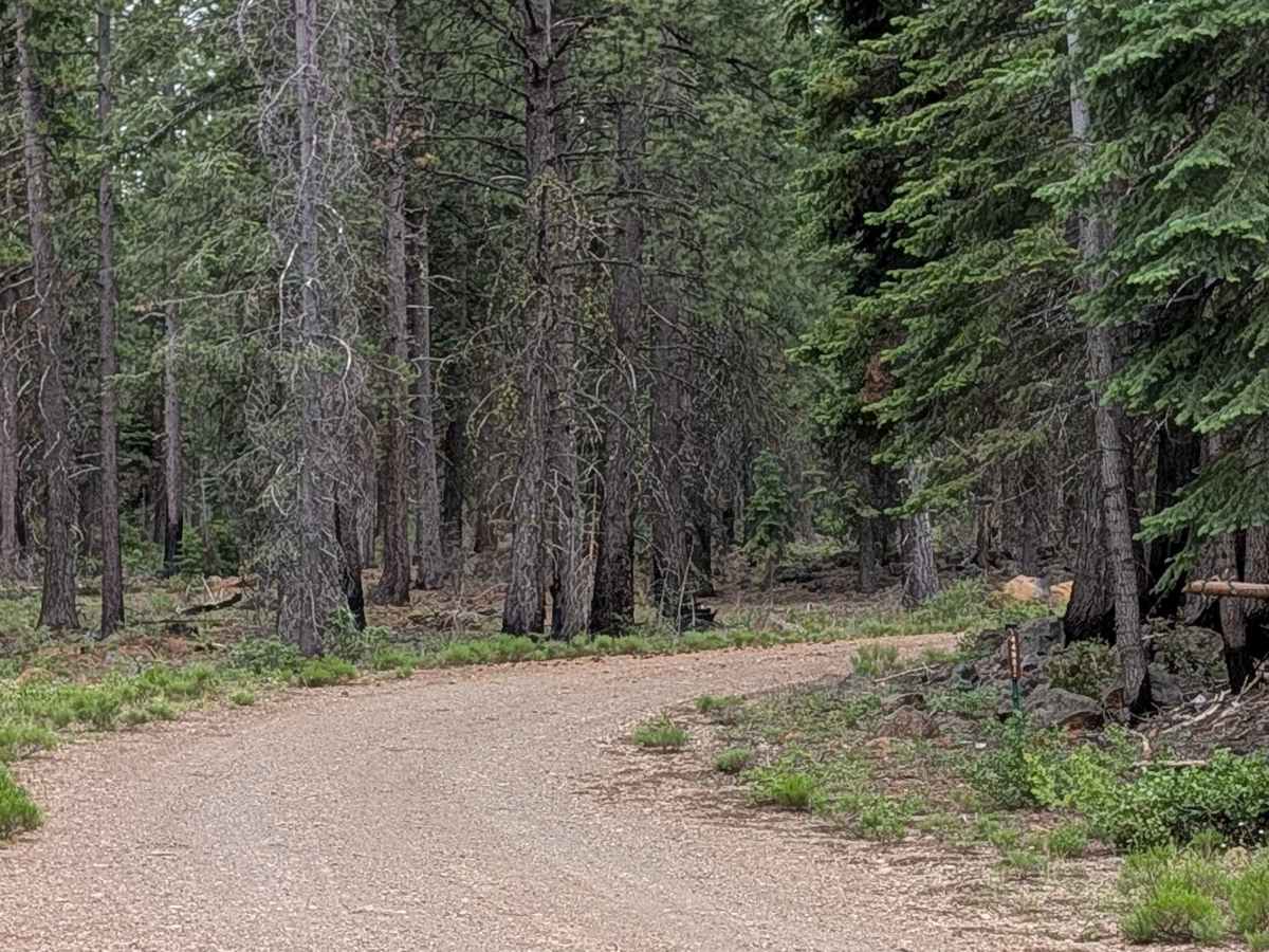
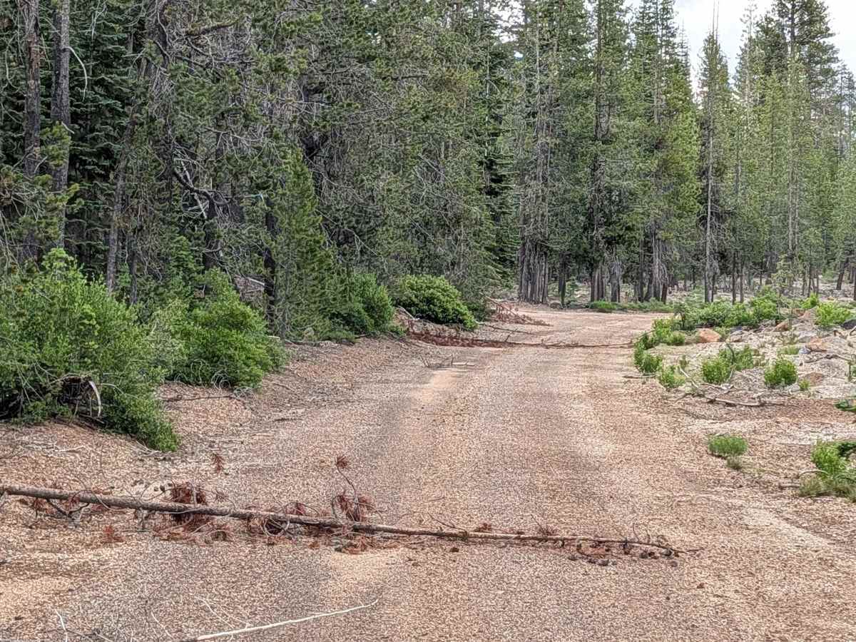
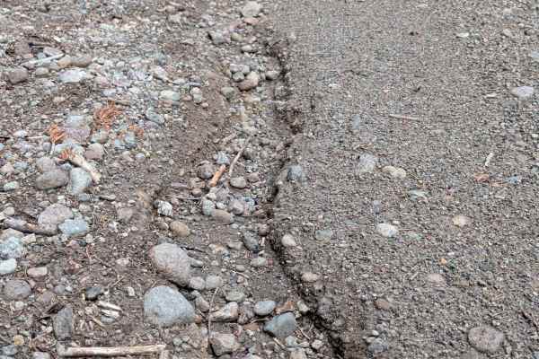
Carrying a rating of 2, the trail surface is primarily hard-packed dirt. While Forest Service crews have performed significant work clearing larger downed timber, you will still encounter smaller hazards, such as 1-inch saplings or debris that may require you to either drive over them carefully or stop and manually clear the path to ensure safe passage. The most notable topographical feature is the final 2 miles on the east side, where the trail drops approximately 600 feet in elevation; maintain a controlled speed on this descent, especially if the dirt surface is dry and loose.

 Offroad