Trail Overview
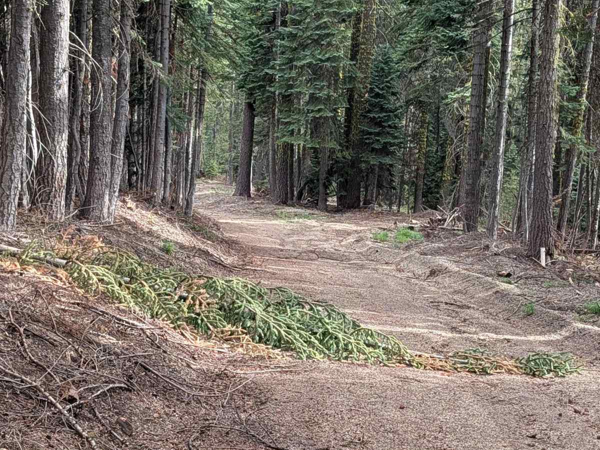
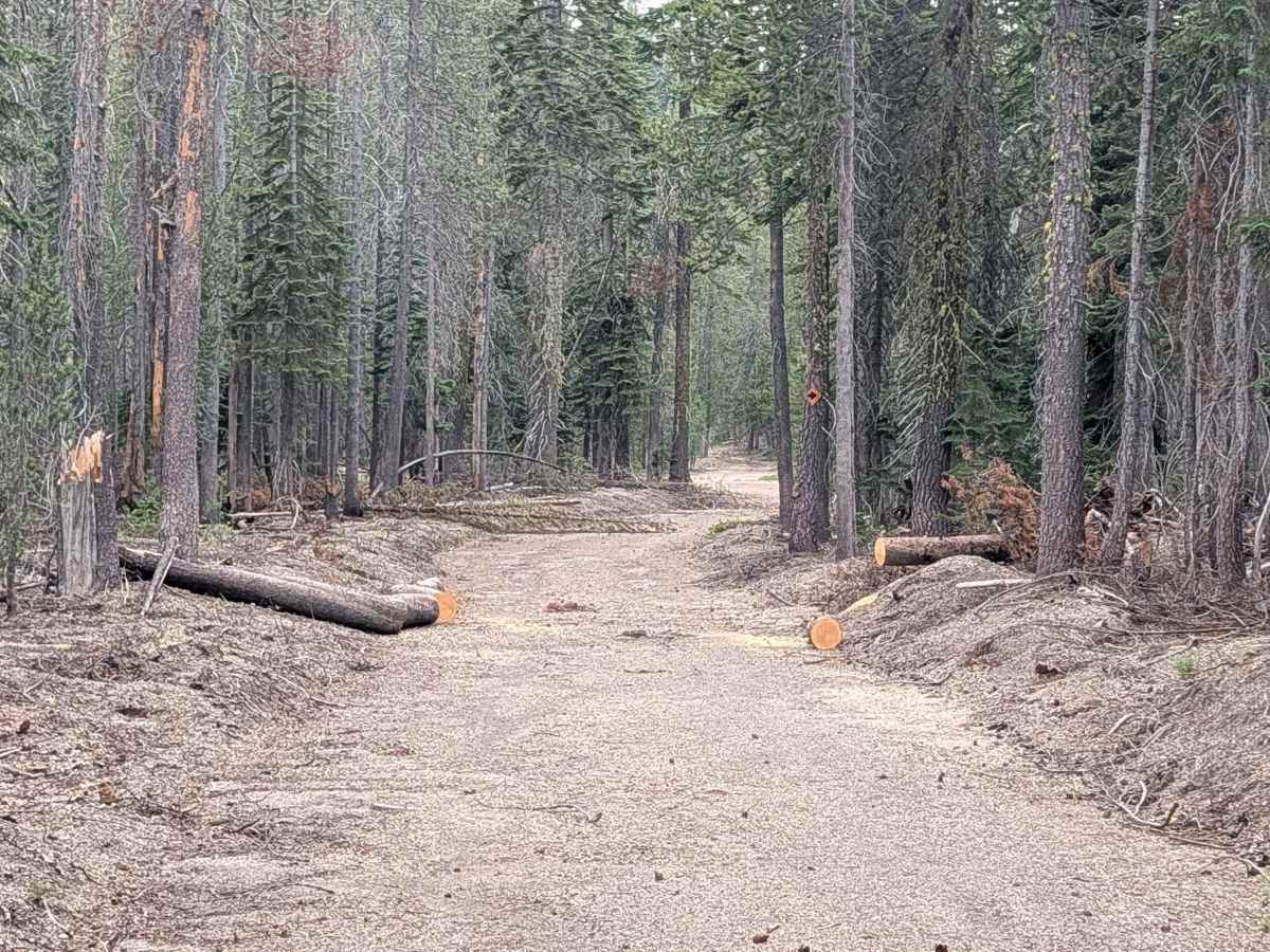
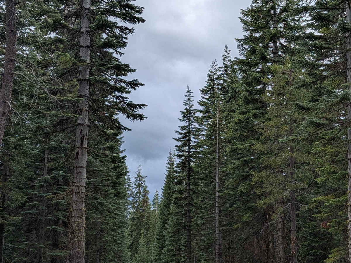
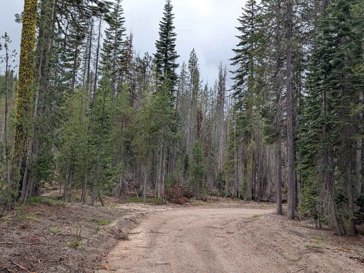
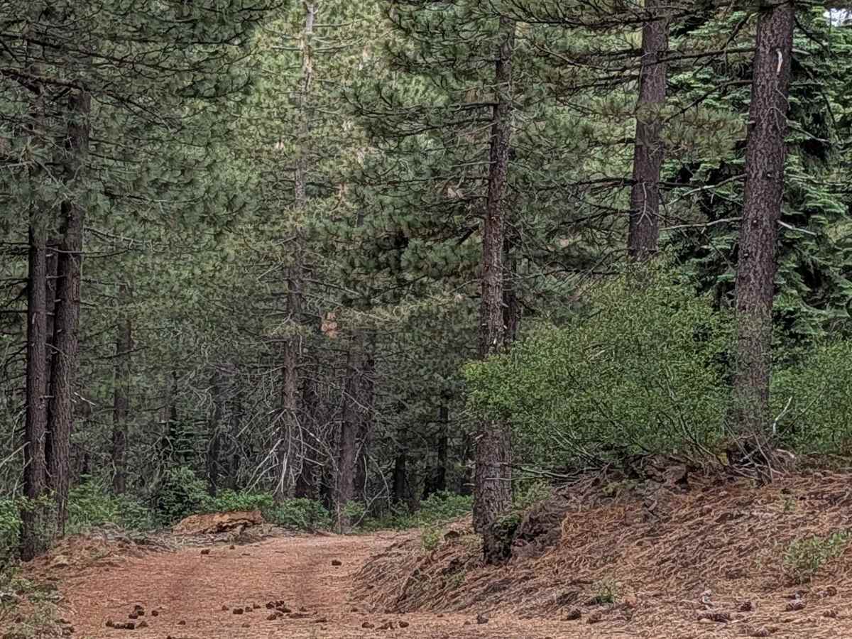
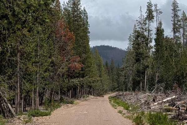
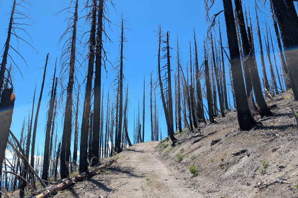
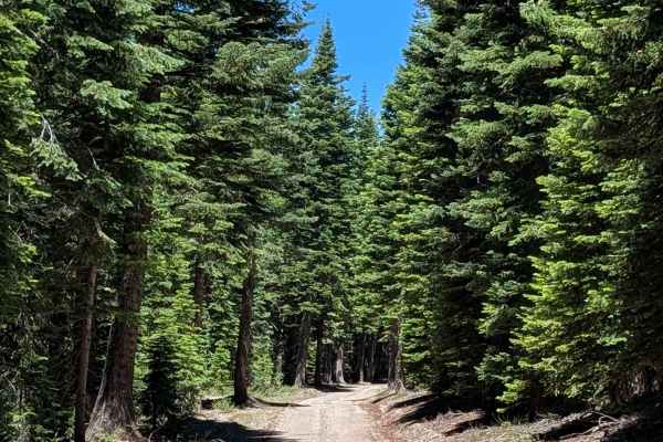
This 3-mile point-to-point route serves as a functional connector, linking the Coyote Trail in the Klamath National Forest to the Garner Trail in the Shasta National Forest. The route offers a descent of approximately 500 feet, taking you through a thriving, young pine forest. Unlike many of the surrounding routes impacted by the 2021 Antelope Fire, this segment appears to be in a healthy recovery stage. It has recently undergone significant maintenance, including fresh grading and the installation of new drainage ditches, which has stabilized the roadbed significantly. The surrounding ground vegetation is relatively sparse, though you will encounter pockets of manzanita bushes common to this region.
Difficulty
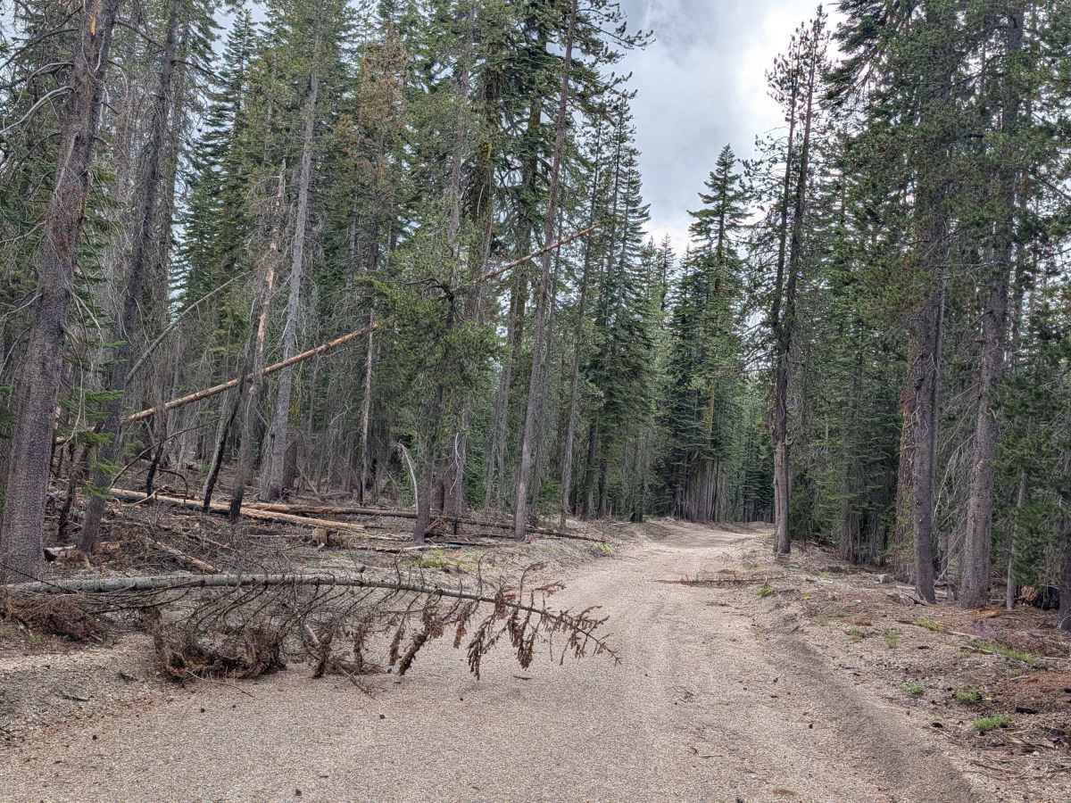
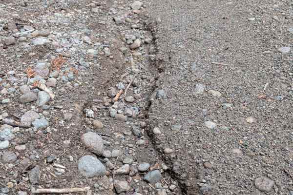
Carrying a rating of 2, the trail is 1 to 1.5 vehicles wide and surfaced with a mixture of dirt and gravel. The recent grading work has made the path quite smooth; however, you will still encounter minor ruts, all of which are under 6 inches deep. The primary technical challenge remains the presence of downed trees that have not yet been fully cleared, requiring you to navigate around them carefully. While these are manageable for a standard high-clearance vehicle, they can create tight passages that require an attentive driver.