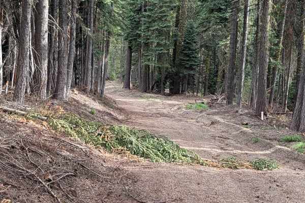
Trail Overview
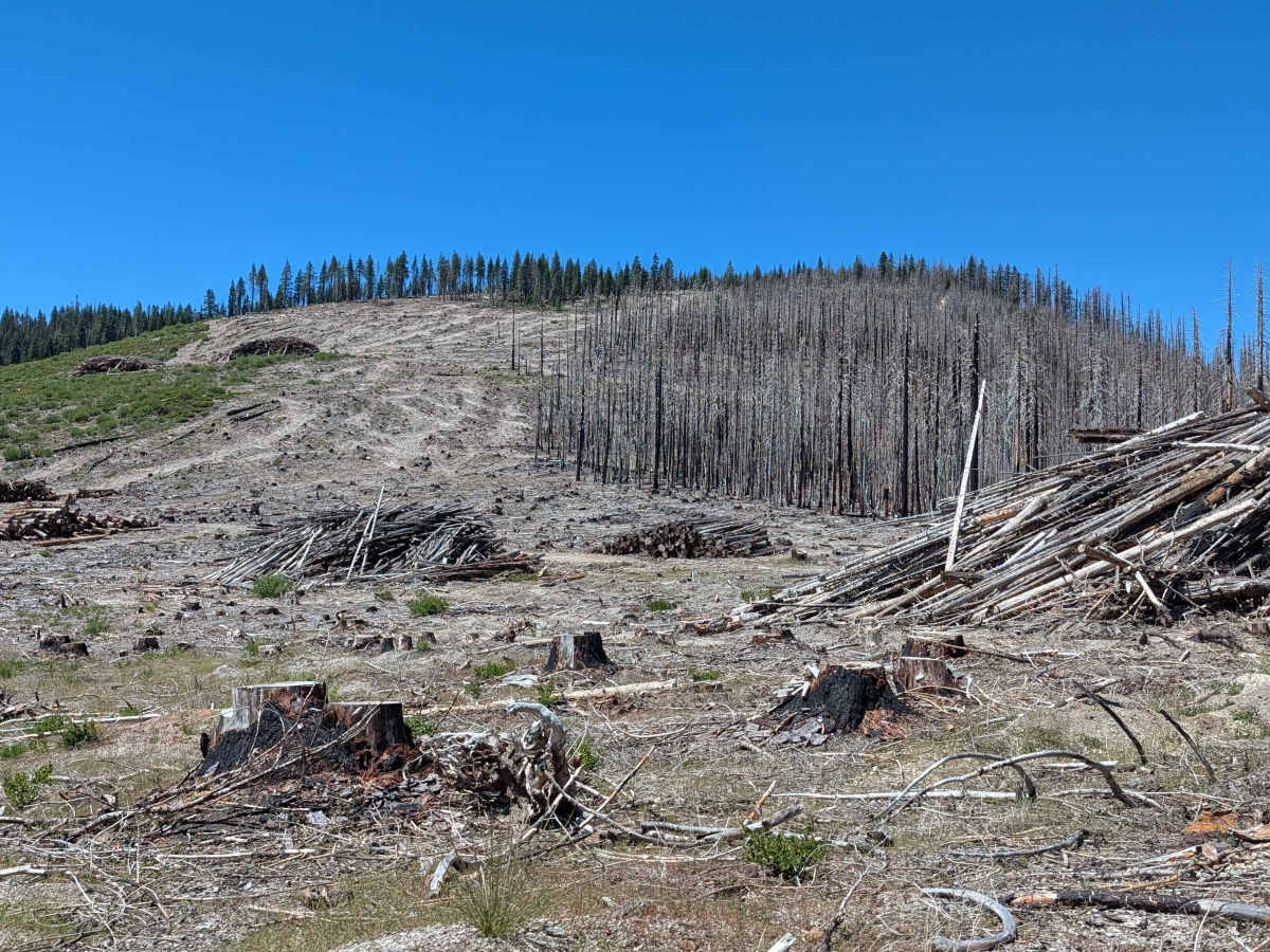
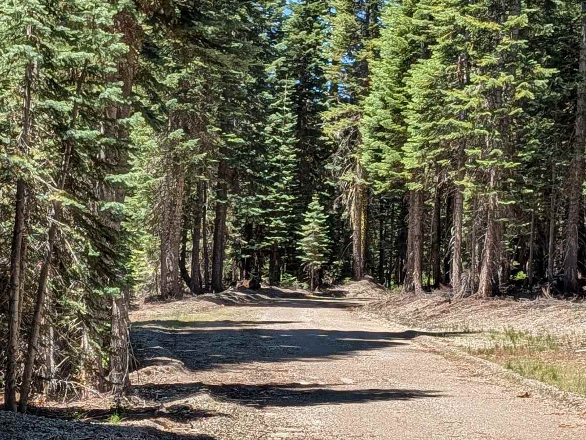
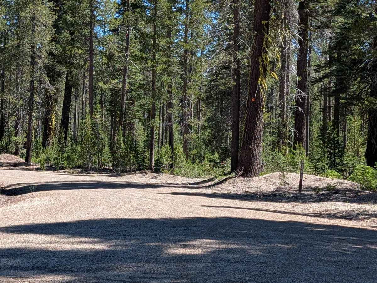
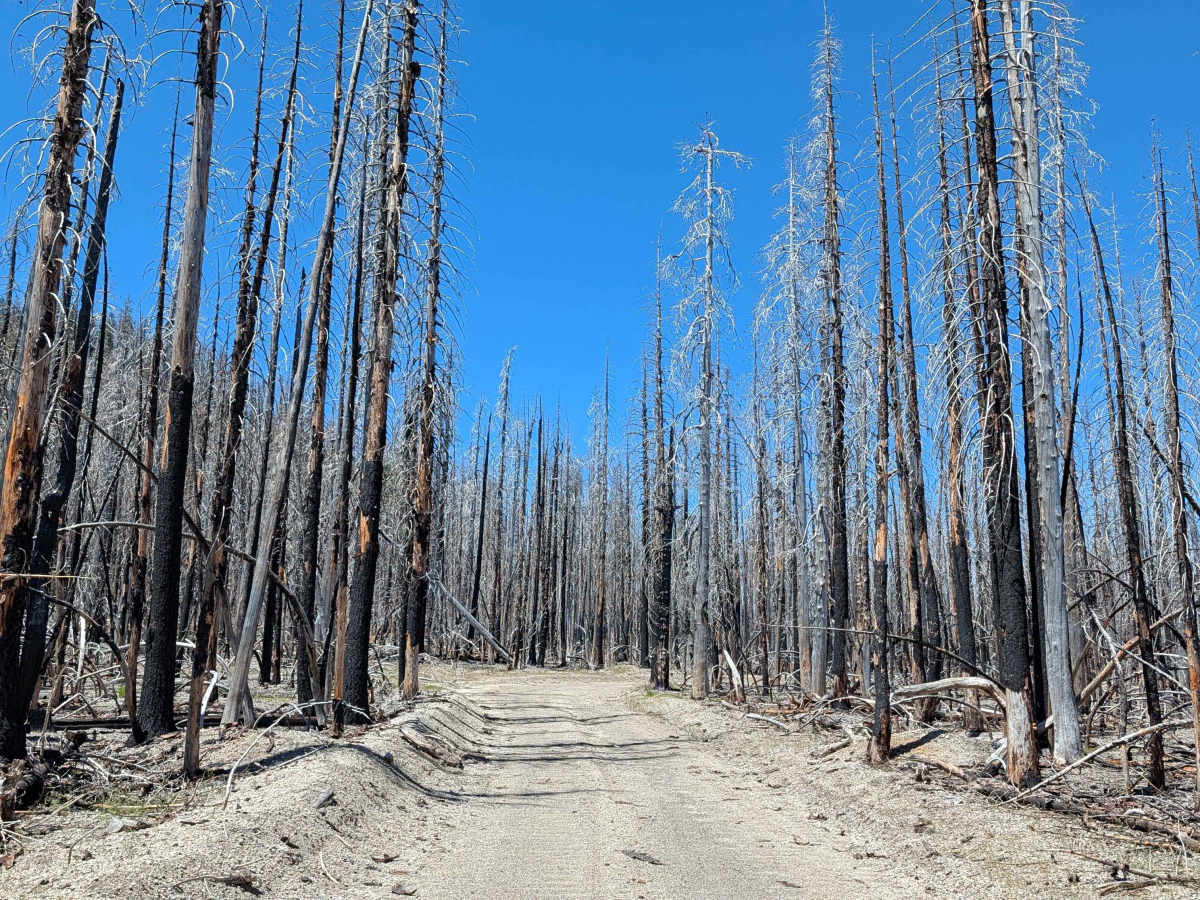
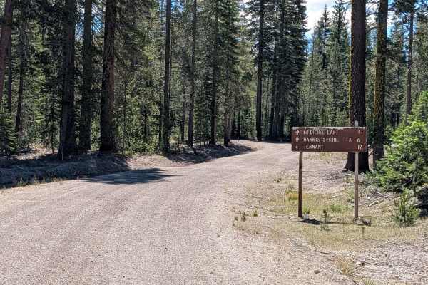
This 5-plus-mile point-to-point trail is an expansive transit route connecting the Lone Spring "Pigs Ear" East (FS 43N04) area to the FS 43N08X junction near Pumice Mountain East. The trail predominantly winds through the mature pine stands of the Shasta National Forest, characterized by sparse ground foliage and a pleasant, open forest floor. The final mile of the northern section offers a stark transition, as it enters the footprint of the 2021 Antelope Forest Fire. Here, the landscape is defined by the obvious, haunting remnants of the blaze, providing a clear contrast to the healthy timber found throughout the rest of the route.
Difficulty
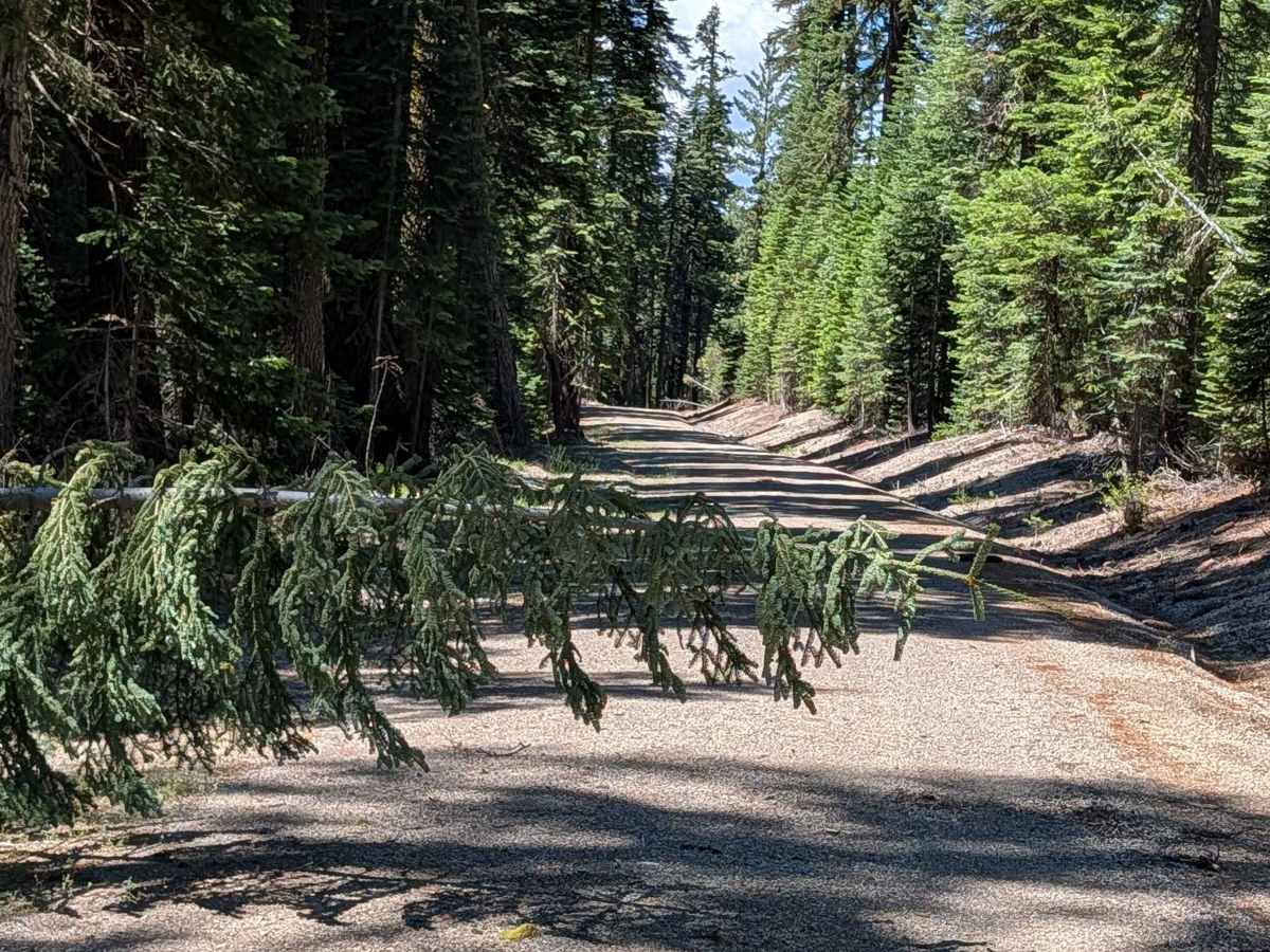
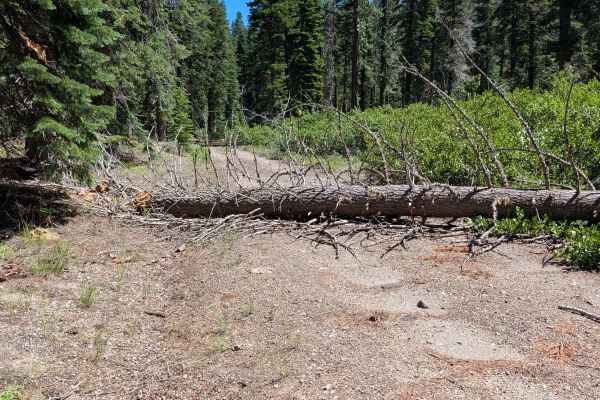
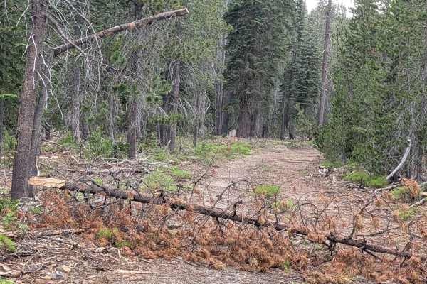
Carrying a rating of 2, this is a generally accessible trail with a surface of dirt and gravel, typically 1.5 to 2 vehicles wide. While the path is fairly smooth, it is an active climbing route, gaining nearly 850 feet in elevation. The primary challenge is not technical terrain, but rather the frequent presence of downed trees. You will need to carefully maneuver between or around these obstacles. Additionally, be mindful of the drainage ditches flanking the road, which are crucial for maintaining the trail's integrity but can catch a tire if you lose focus while navigating the narrower sections or passing oncoming traffic.