Trail Overview
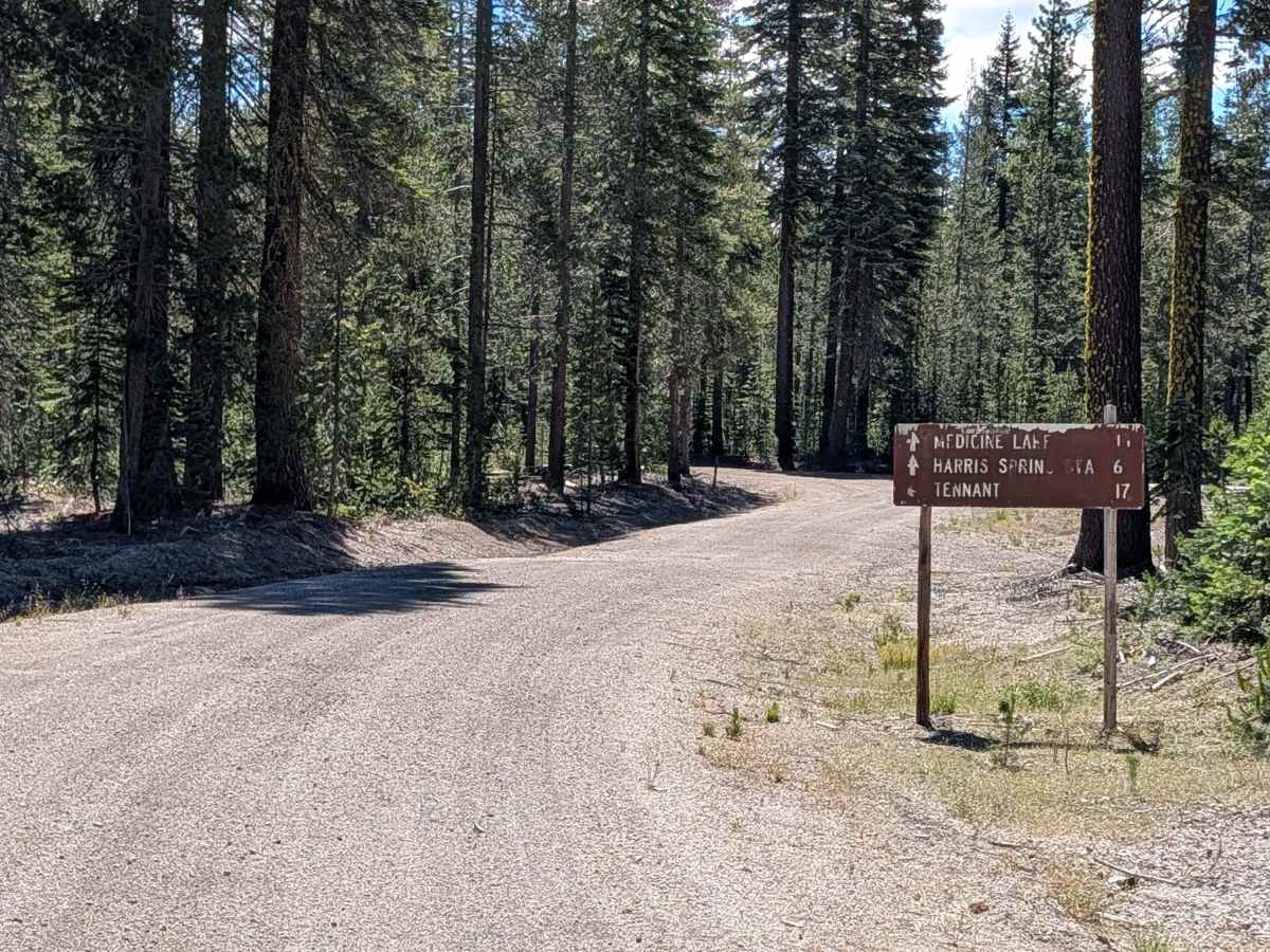
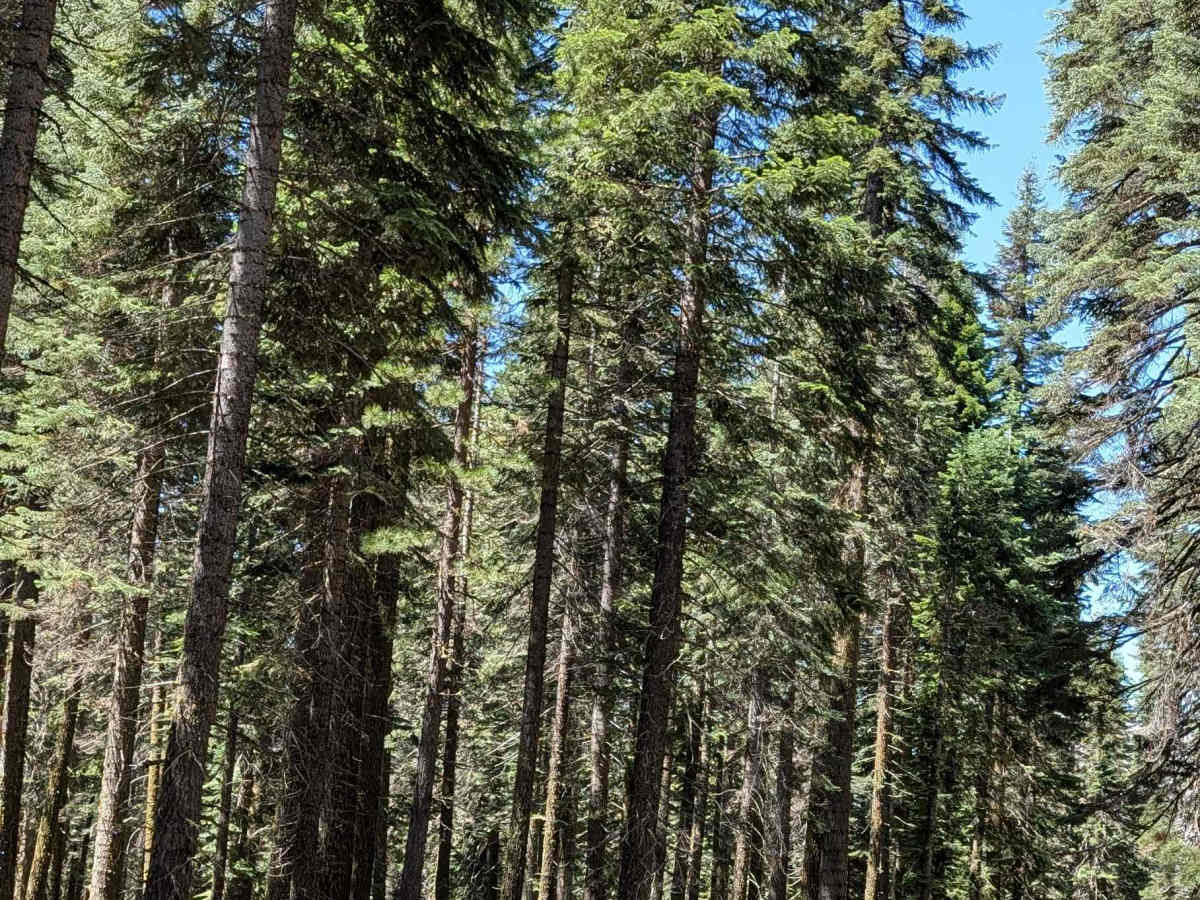
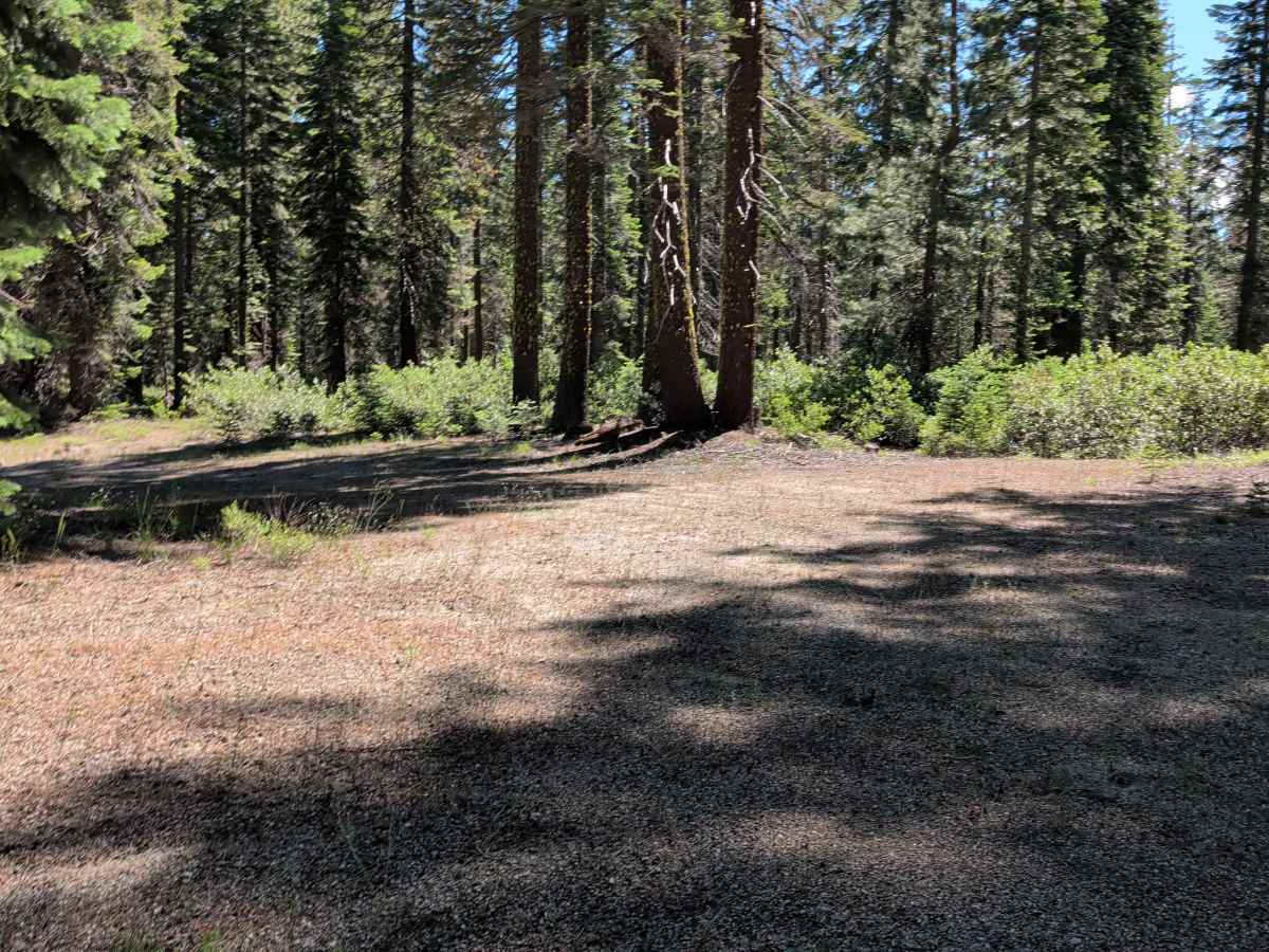
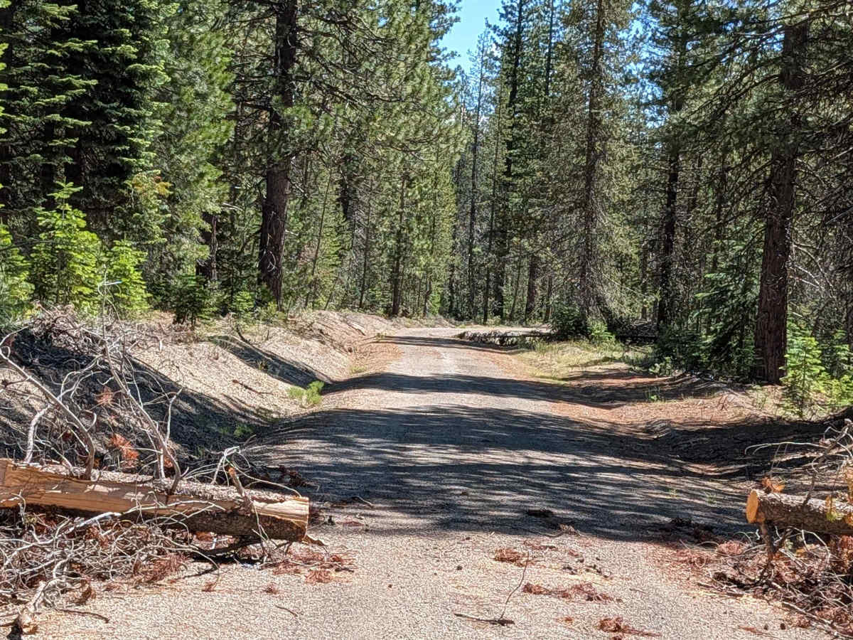
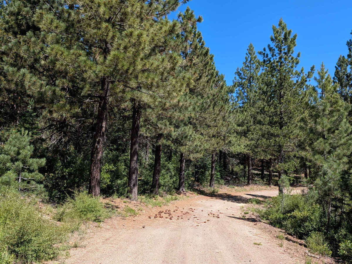
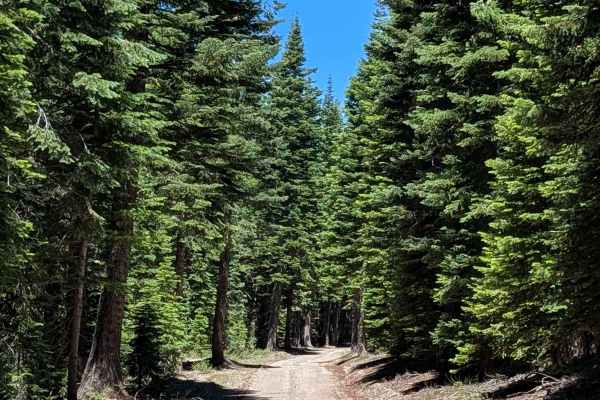
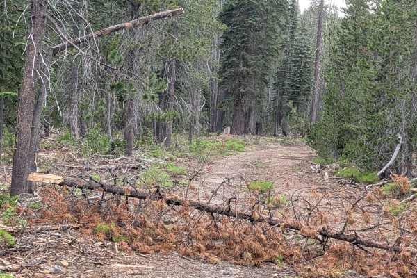
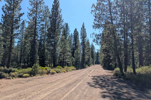
This trail serves as a connector through the Shasta National Forest, beginning at the Volcanic Legacy Scenic Byway (Highway 10) and terminating at the Table Top (FS 43N37) trail. Unlike the fire-ravaged sections common in the surrounding region, this route traverses a healthy forest of young-to-medium-aged pine trees. The forest floor here is notably clean, with very little ground foliage or underbrush, offering a stark visual contrast to the dense, brush-heavy recovery zones found elsewhere in the national forest.
Difficulty
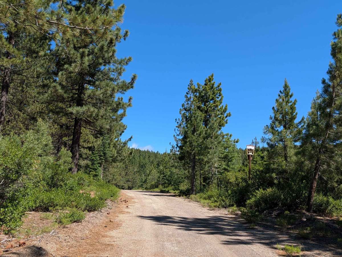
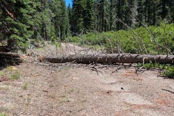
Carrying a rating of 2, the trail is 1 to 1.5 vehicles wide with a surface of dirt and gravel. It is a straightforward drive with no major technical obstacles, such as large rocks or deep ruts. The primary challenge is occasional debris; you will encounter fallen trees that have not been cleared, requiring you to carefully navigate over or around them. While these obstacles are generally manageable for most high-clearance vehicles, they do necessitate an attentive driver to ensure you do not strike the undercarriage on larger branches or stumps.