Trail Overview
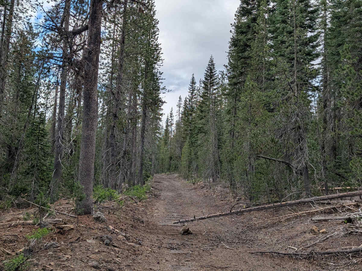
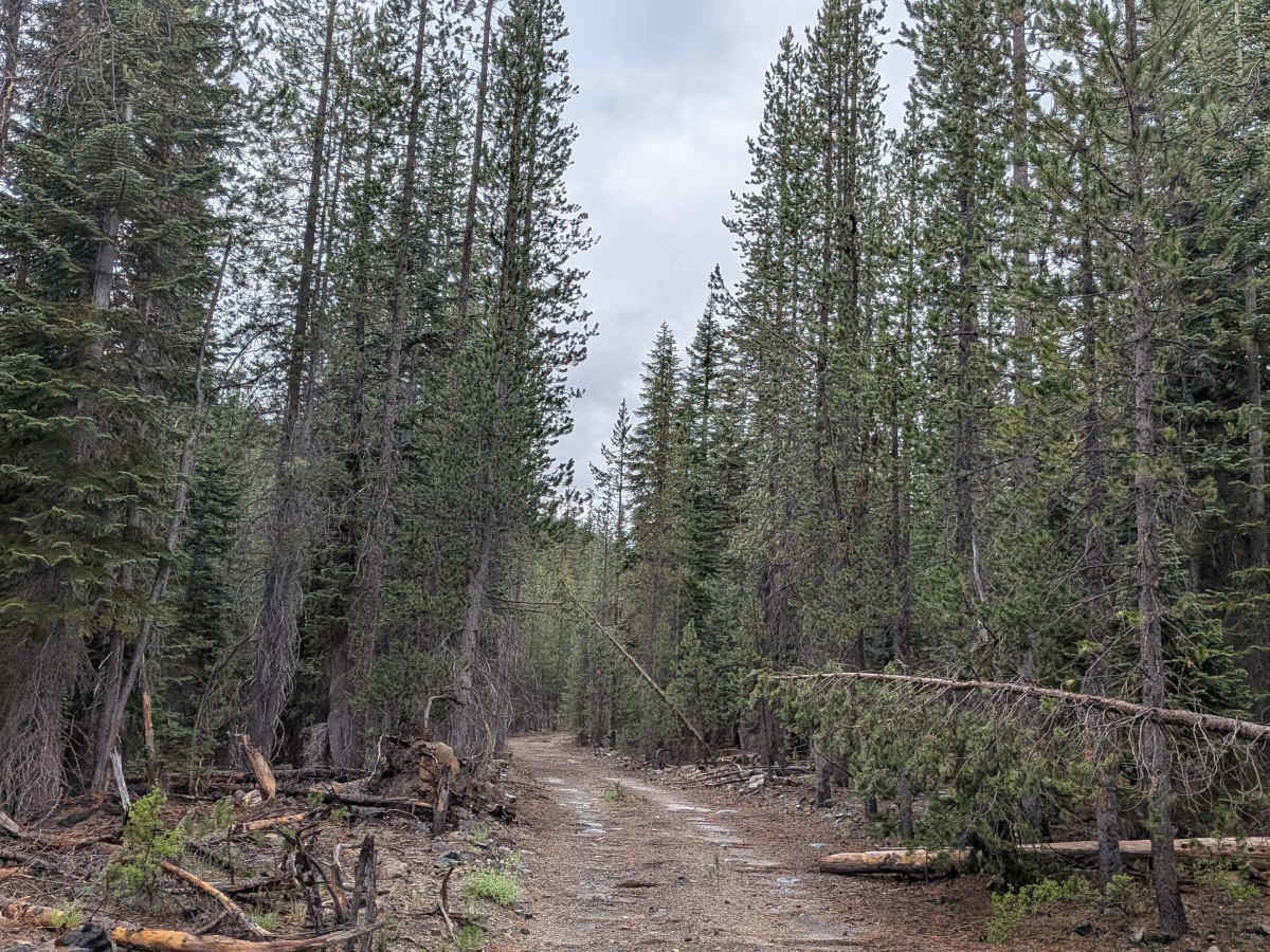
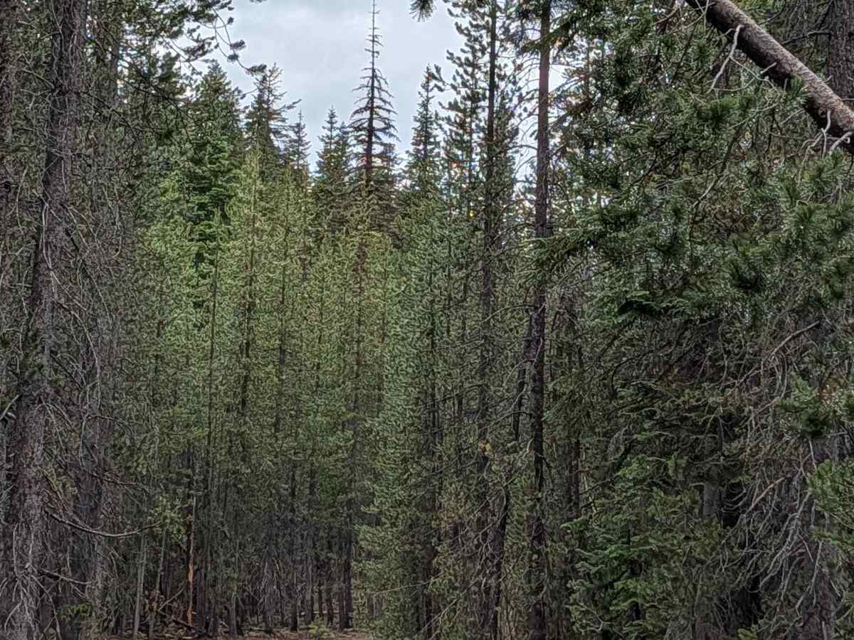
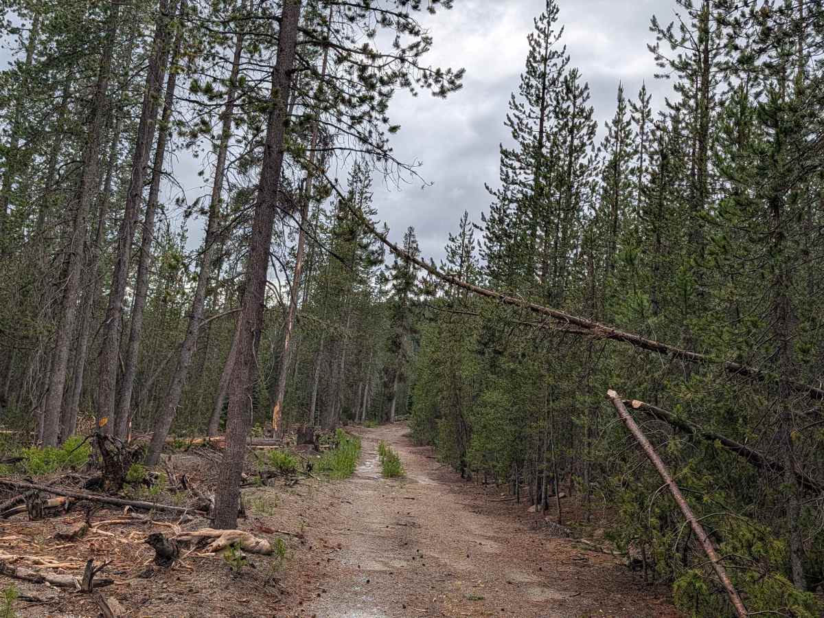
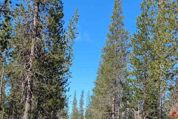
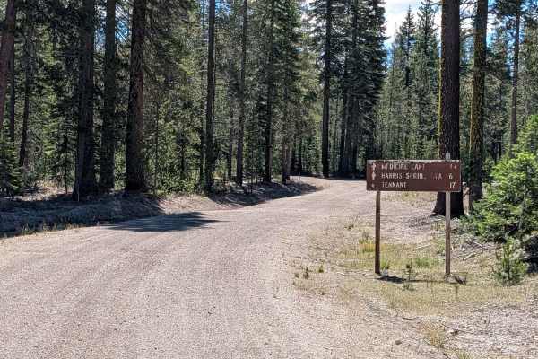
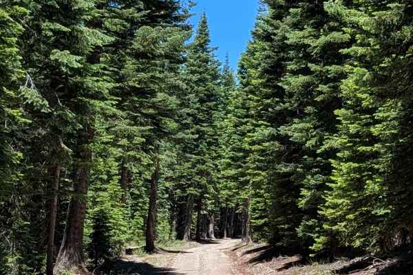
This 3-mile point-to-point trail acts as a critical transit corridor between the Shasta National Forest (starting at the Lost Spring "Pigs Ear" FS 43N04R junction) and the Klamath National Forest (terminating at the Lost Springs FS 43N37 junction). The route traverses a remarkably healthy pine forest, offering a lush contrast to the fire-damaged landscapes common in the vicinity. The forest floor is dense with brush, creating a vibrant, enclosed corridor. It is a scenic drive that shifts character halfway through, transitioning from a smooth forest road to a more technical, rocky path as you approach the midpoint of the route.
Difficulty
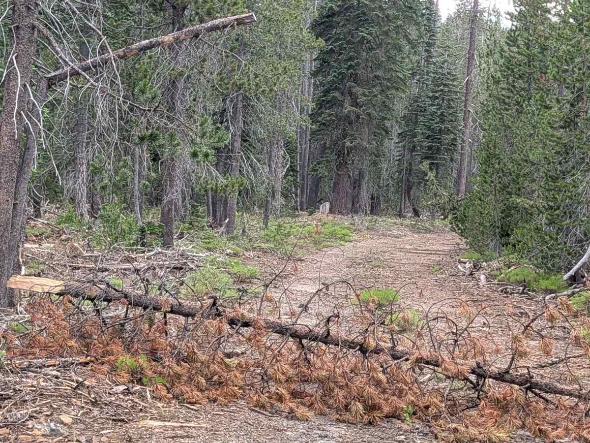
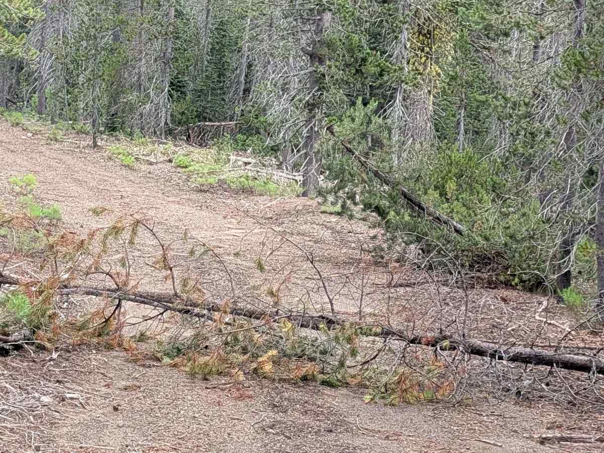
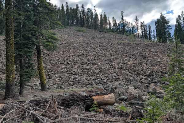
Carrying a rating of 4, this trail requires high clearance and a capable 4x4 vehicle. While the path is generally 1.5 vehicles wide and composed of dirt, the technical requirements increase significantly at the 1.5-mile marker from the south end, where you will encounter large, embedded rocks that demand careful line selection. You will also need to traverse a 7-inch log—manually cleared to maintain access—which necessitates good ground clearance. Furthermore, there is a large downed tree near the south entrance; please be advised that while previous traffic has bypassed this by driving off-trail, you should prioritize keeping your wheels on the established track to protect the dense ground-level brush.