Trail Overview
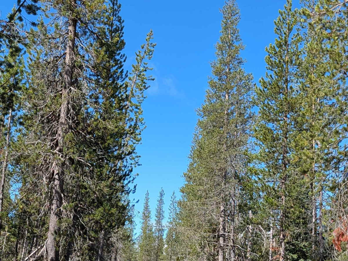
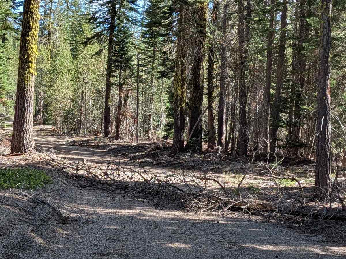
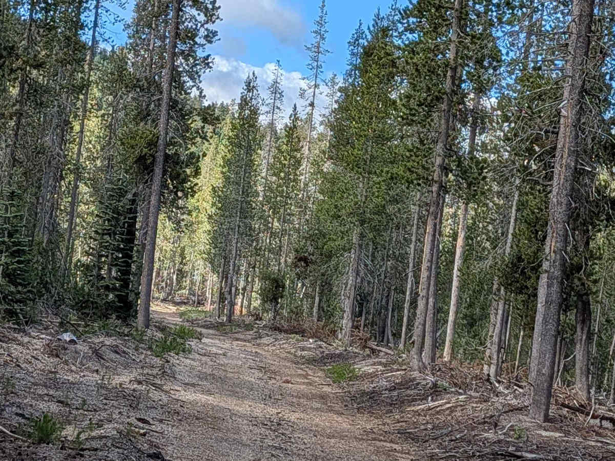
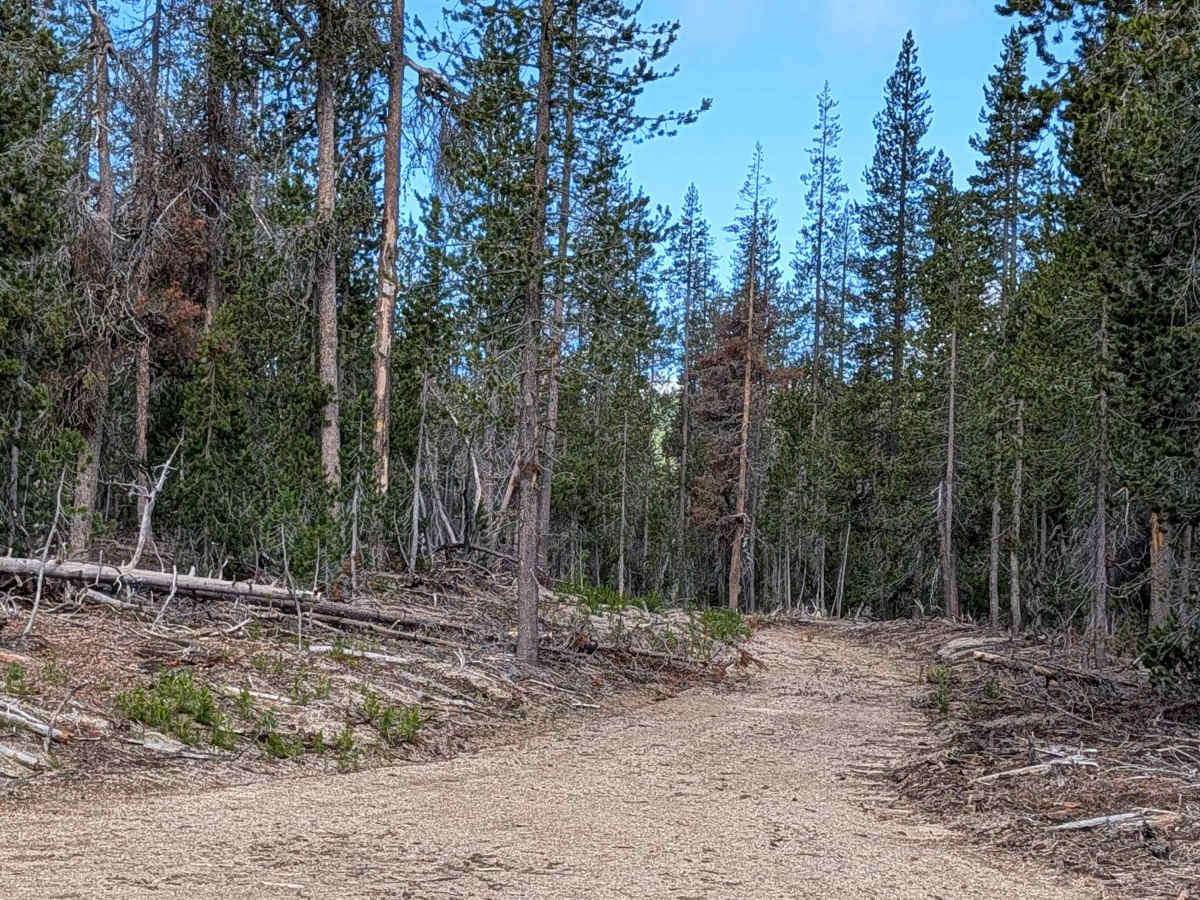
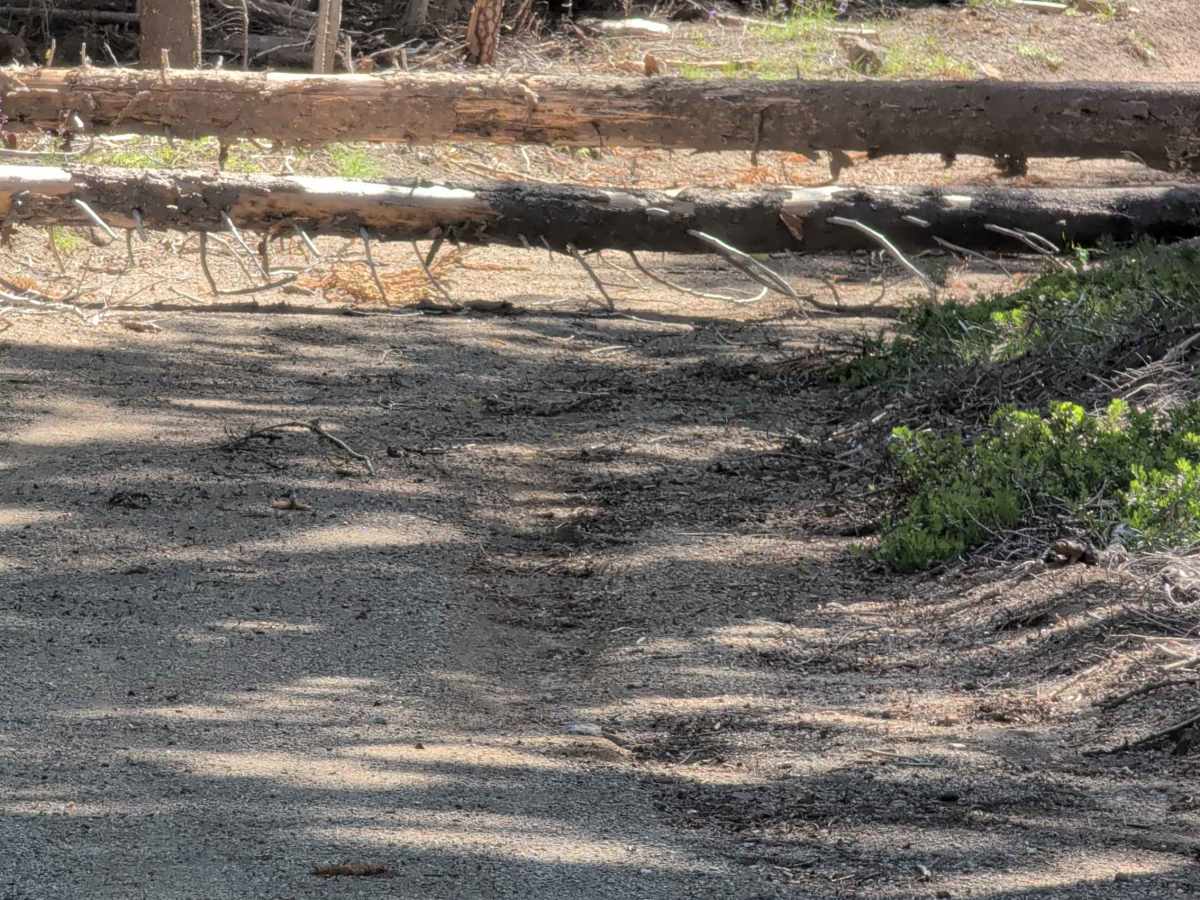
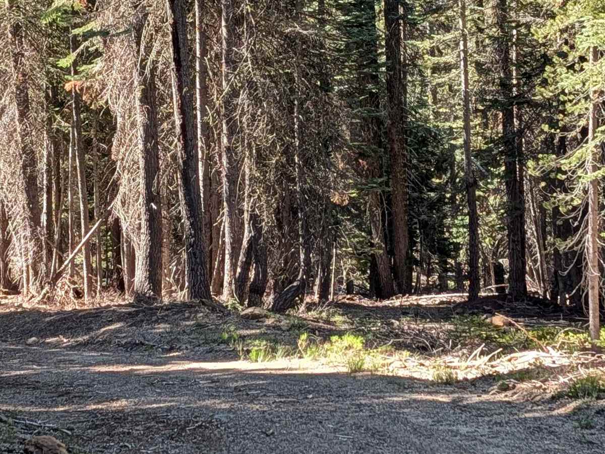
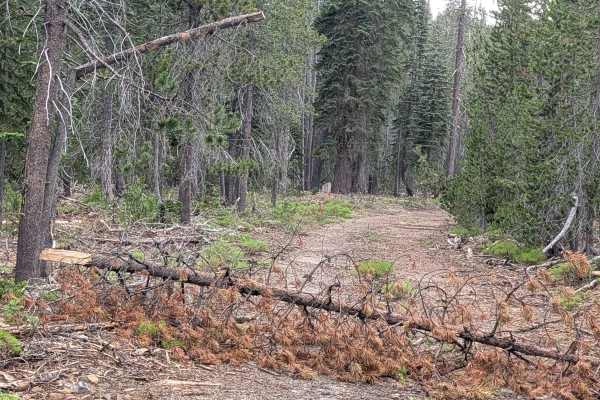
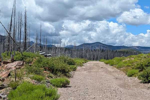
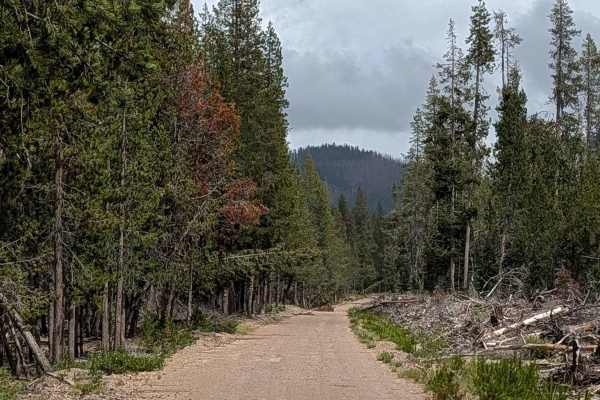
This 2-mile point-to-point trail starts at Table Top FS 43N37 and travels through the Shasta National Forest as a nicely graded route with a dirt and gravel surface approximately one vehicle wide. The trail passes through a young pine forest characterized by little ground flora, creating an open understory throughout much of the journey. A couple of small sections cross private timberland, and visitors should stay on the established route to respect these property boundaries. One mile into the trail from the east side, drivers will encounter a section where numerous trees were previously down across the trail. While many of these downed trees have since been cut and moved to clear passage, several sections still require navigating a tight squeeze between the cleared debris, demanding careful attention to vehicle width and mirror placement.
Difficulty
This trail has an easy difficulty rating of 2 based on the nicely graded dirt and gravel surface combined with the tight squeezes between cut and moved downed trees encountered one mile in from the east side. The primary challenge involves carefully navigating the narrow passages created by the cleared tree debris, requiring attention to vehicle width throughout this section.