Trail Overview
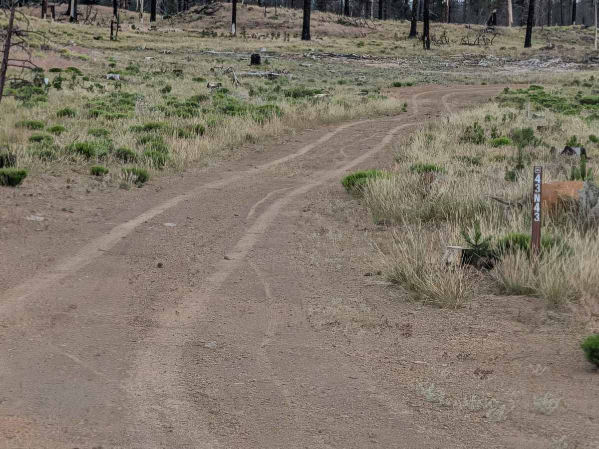
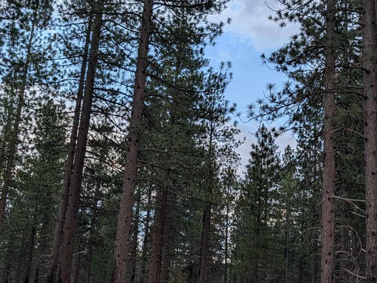
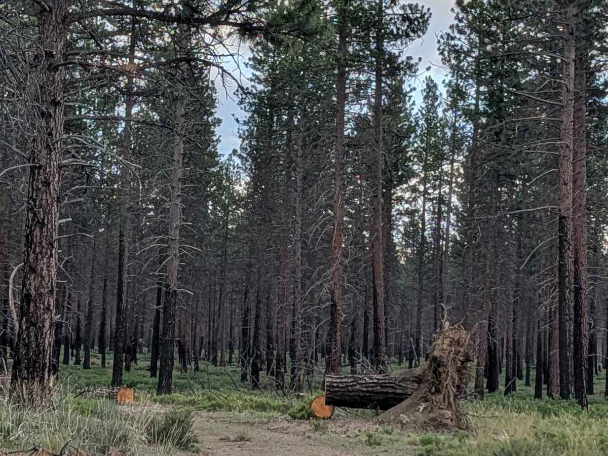
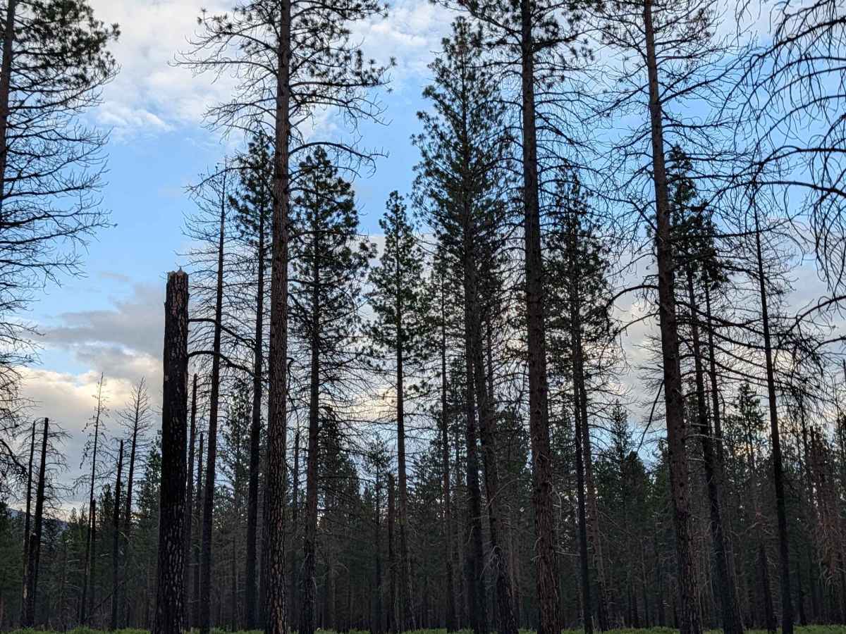
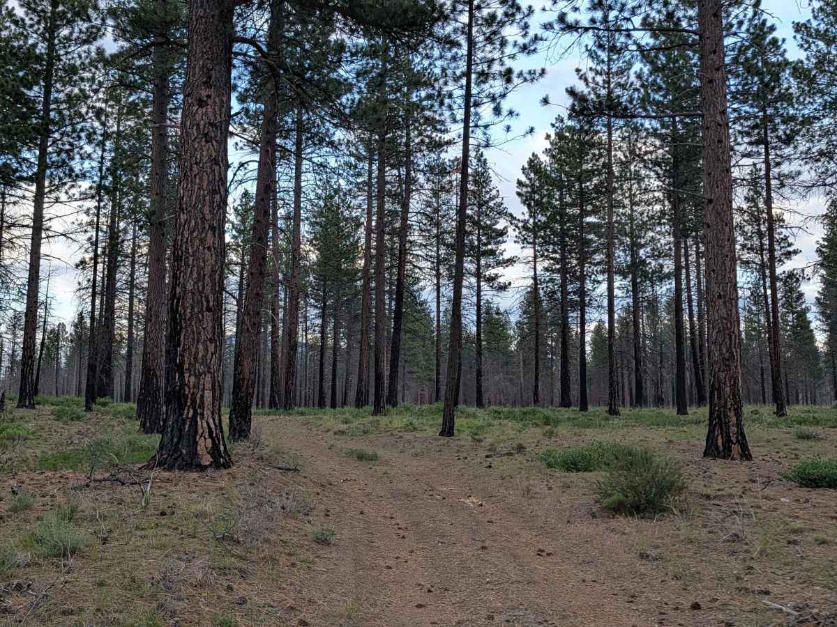
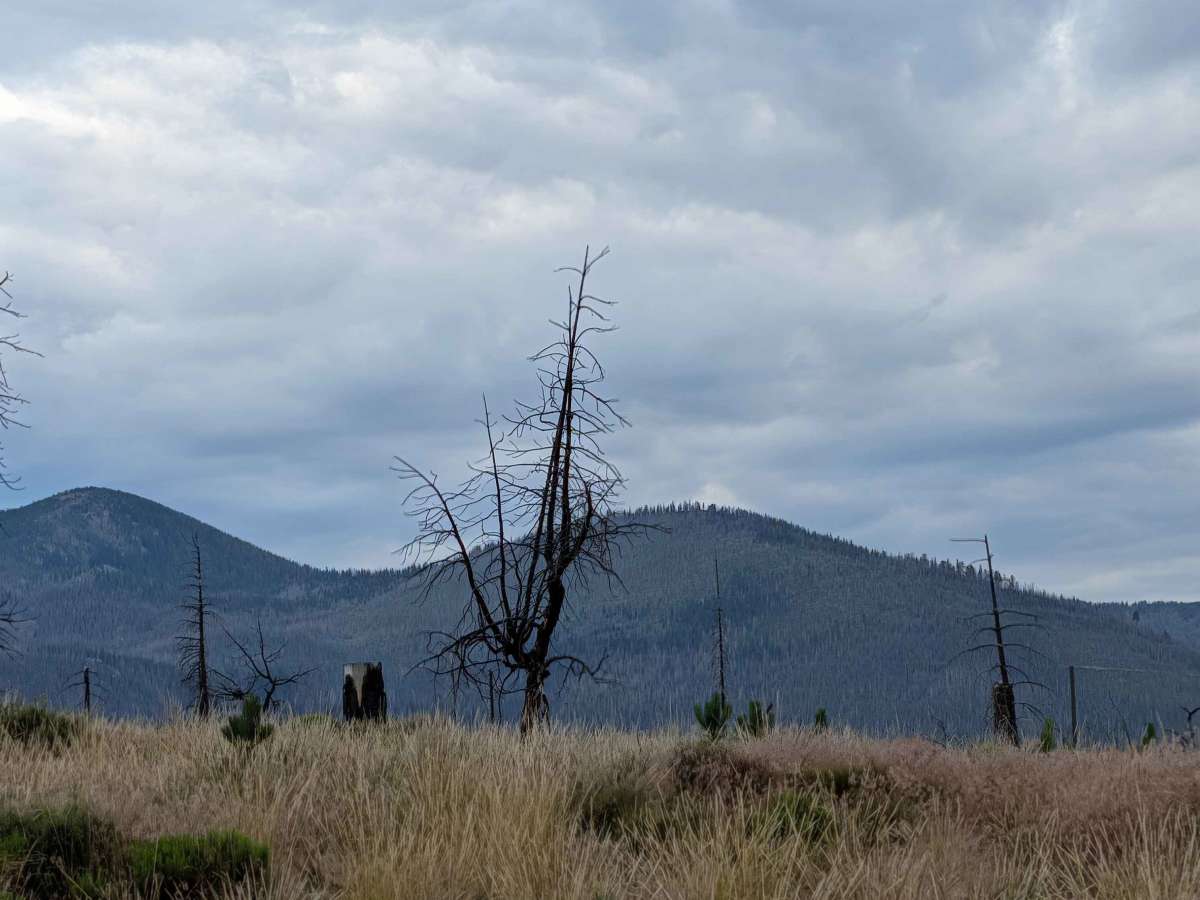
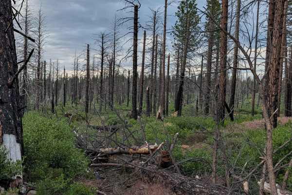
This 2-mile loop trail begins and ends on Railroad Grade 77, serving as an accessible route through a landscape defined by the 2021 Antelope Forest Fire. The first section traverses a vast clear-cut area where the fire’s intensity necessitated significant removal of timber, leaving behind expansive meadows teeming with sagebrush, grasses, and diverse high-desert flora. The final mile of the loop transitions into a standing pine forest; whether this stand was spared by the fire or protected through successful prescribed burning for fuel reduction, it provides a striking contrast to the open meadows. Throughout the trail, you are rewarded with panoramic mountain views in every direction, making it a highly scenic short-duration drive.
Difficulty
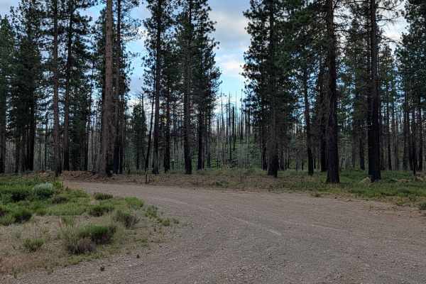
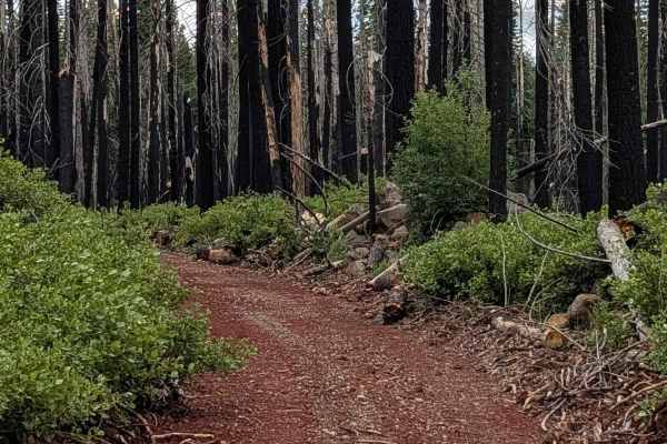
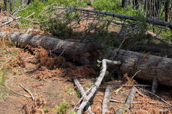
This is a rating 1 trail, offering a very straightforward driving experience. The surface is primarily dirt with some small gravel-sized rocks, posing no significant technical challenges. It is suitable for any vehicle. While the drive is easy, the primary "difficulty" is safety-related: as you enter the final mile through the pine forest, stay hyper-aware of the standing half-burnt trees. These trees are highly unstable, and their root systems can fail at any time—especially in wind. Do not camp or park near these trees, as they present a legitimate falling hazard.